2000s (21st Century) Maps of Mescalero, New Mexico
Explore 17 historic maps of Mescalero from the 2000s (21st Century). These maps offer a rare glimpse into what life looked like during the 2000s — showing old roads, neighborhoods, homes, and landmarks that have changed or disappeared over time.
Whether you're researching your family's past, planning a metal detecting trip, or studying how Mescalero's landscape evolved across the 2000s, these high-resolution maps are a powerful tool for exploring the history of this region.
- Focus on a specific era: All maps on this page are from the 2000s, giving you a focused view of this time period.
- See what’s changed: Compare century-old streets, trails, and buildings to today's modern landscape using overlays and satellite layers.
- Research with precision: Use these maps for genealogy, historical research, land use analysis, or educational projects.
- View, download, or print: Maps are fully viewable online in high resolution, and can be downloaded or printed for your own records.
Start exploring Mescalero's history through authentic maps from the 2000s. This is your window into the past.
Mescalero, NM maps
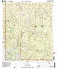
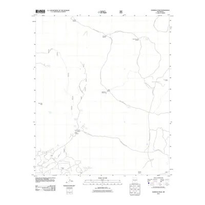
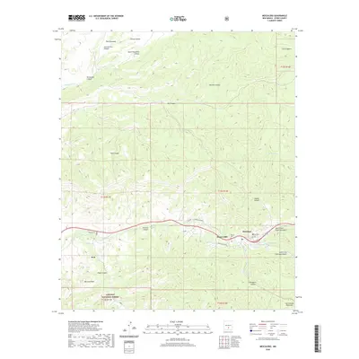
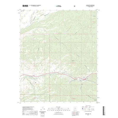
(17)- 2004 Map of Mescalero, 2006 Print
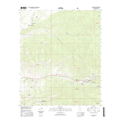
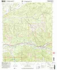 2004 Mescalero2006 Print · USGSThe Mescalero Apache Indian Reservation is documented here in the early 2000s, showing the intersection of tribal lands and the Lincoln National Forest. Researchers can identify local landmarks like the Ceremonial Ground, Blazers Cem, and the old Fish Hatchery near the Tularosa Creek.
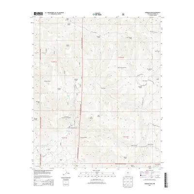
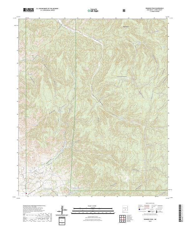
 - 2004 Map of Domingo Peak, 2006 Print
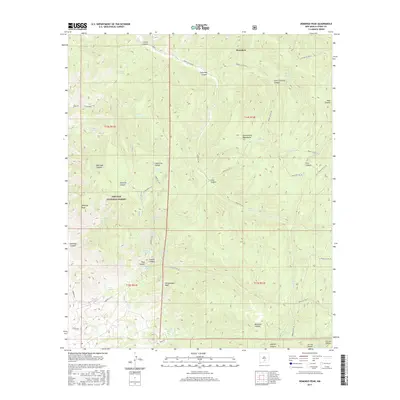
 2004 Domingo Peak2006 Print · USGSThe high canyons and traditional lands of Otero County are documented here as they appeared at the start of the new millennium. Researchers can trace historic routes through Nogal Canyon and locate vital water sources like Maruche Lake and the Five Canyon Lookout Tower.
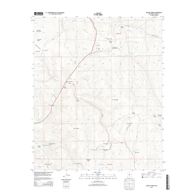
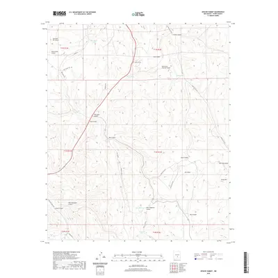
 - 2010 Map of Apache Summit, 2010 Print
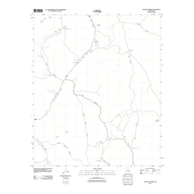 2010 Apache Summit2010 Print · USGSCovers Mescalero, including Apache Summit, Otero County, and other nearby areas
 - 2011 Map of Mescalero, 2011 Print
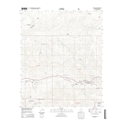
 2011 Mescalero2011 Print · USGSCovers Mescalero, including Bent, Blazers Mill, and other nearby areas
 - 2011 Map of Domingo Peak, 2011 Print
 2011 Domingo Peak2011 Print · USGSCovers Mescalero, including Otero County, United States, and other nearby areas
 - 2013 Map of Apache Summit, 2013 Print
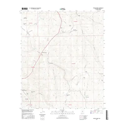
 2013 Apache Summit2013 Print · USGSCovers Mescalero, including Apache Summit, Otero County, and other nearby areas
 - 2013 Map of Mescalero, 2013 Print
 2013 Mescalero2013 Print · USGSCovers Mescalero, including Bent, Blazers Mill, and other nearby areas
 - 2013 Map of Domingo Peak, 2013 Print
 2013 Domingo Peak2013 Print · USGSCovers Mescalero, including Otero County, United States, and other nearby areas
 - 2017 Map of Mescalero, 2017 Print
 2017 Mescalero2017 Print · USGSCovers Mescalero, including Bent, Blazers Mill, and other nearby areas
 - 2017 Map of Domingo Peak, 2017 Print
 2017 Domingo Peak2017 Print · USGSCovers Mescalero, including Otero County, United States, and other nearby areas
 - 2017 Map of Apache Summit, 2017 Print
 2017 Apache Summit2017 Print · USGSCovers Mescalero, including Apache Summit, Otero County, and other nearby areas
 - 2020 Map of Domingo Peak, 2020 Print
 2020 Domingo Peak2020 Print · USGSCovers Mescalero, including Otero County, United States, and other nearby areas
 - 2020 Map of Mescalero, 2020 Print
 2020 Mescalero2020 Print · USGSCovers Mescalero, including Bent, Blazers Mill, and other nearby areas
 - 2020 Map of Apache Summit, 2020 Print
 2020 Apache Summit2020 Print · USGSCovers Mescalero, including Apache Summit, Otero County, and other nearby areas
 - 2023 Map of Domingo Peak, 2023 Print
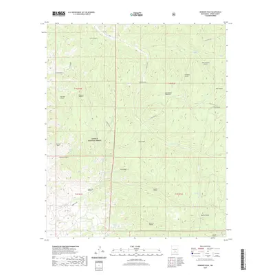
 2023 Domingo Peak2023 Print · USGSThe high canyons of the Sacramento Mountains and the Mescalero reservation are shown here in modern detail. Local researchers can trace historic routes like the Butterfield Trl and find remote water sources like Maruche Lake and Dripping Spring.
 - 2023 Map of Mescalero, 2023 Print
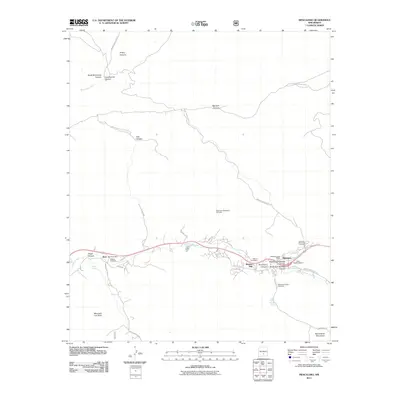
 2023 Mescalero2023 Print · USGSThe Mescalero Apache reservation and surrounding Lincoln National Forest are documented in this contemporary survey. Researchers can locate specific legacy sites such as Blazers Mill, Our Lady of Guadalupe, and the Mescalero Indian Cem.
 - 2023 Map of Apache Summit, 2023 Print
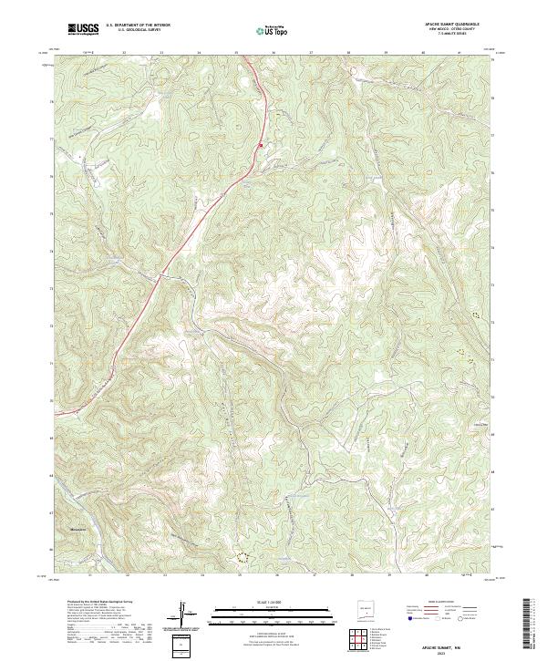 2023 Apache Summit2023 Print · USGSThe Mescalero Reservation area in the early 2020s is mapped here with focus on its complex canyon systems and critical water points. Researchers can trace land use patterns via Pete Gaines Tank, Goat Windmill, and the numerous Indian Service Routes.
End of results
Showing maps 1-17 of 17
Top cities near Mescalero
- Alamogordo historical maps
- Ruidoso historical maps
- Tularosa historical maps
- Ruidoso Downs historical maps
- Alamorosa historical maps
- High Rolls historical maps
See more
Top neighborhoods of Mescalero
Frequently asked questions
- What are the different types of historical maps available for Mescalero?
- What is the oldest map of Mescalero?
- Where can I purchase historical maps of Mescalero for my home or office?
- Where can I download high-res historical maps of Mescalero?
- Are there historical topographic maps available for Mescalero?
- Is there historical aerial imagery available for Mescalero?
- Where are historical maps of Mescalero sourced from?