Old Maps of Mescalero, New Mexico for Genealogy
Trace your family roots with 25 historic maps of Mescalero. These high-res maps reveal old neighborhoods, homesites, landmarks, and streets — helping you uncover where your ancestors lived and how the area evolved over time.
- Explore historic neighborhoods: Identify where your relatives may have lived in the 1800s or 1900s.
- Compare maps over time: Trace the changes in streets, buildings, and landmarks for multi-generational research.
- Perfect for genealogy & ancestry research: Used by family historians and researchers to map out lineage and migration.
These maps are an incredible resource for exploring your personal connection to Mescalero's past.
Mescalero, NM maps
(25)- 1950 Map of Mescalero, 1955 Print
 1950 Mescalero1955 Print · USGSThe Mescalero Apache Indian Reservation and the Sacramento Mountains are mapped here at the start of the 1950s. Researchers can trace tribal and forest lands, local schools like Bent Public Sch, and landmarks including St Josephs Mission and Blazers Mill.2 unique versions available
 - 1955 Map of Roswell, 1974 Print
 1955 Roswell1974 Print · USGSSoutheastern New Mexico is shown in transition during the mid-fifties, from the Pecos Valley ranching hubs to the high timber of the Sacramento Mountains. Researchers can trace the Atchison Topeka and Santa Fe RR through Roswell and Hagerman or locate the old barracks at Ft Stanton.3 unique versions available
 - 1958 Map of Roswell
 1958 Roswell1958 Print · USGSThe High Plains and mountain peaks of New Mexico are captured here during the mid-fifties, showing the region before the closure of Walker Air Force Base. Researchers can trace the ranching and rail landscape from Lincoln to the Pecos River valley through Hagerman and Lake Arthur.
 - 1962 Map of Roswell
 1962 Roswell1962 Print · USGSSoutheastern New Mexico in the early sixties shows a landscape defined by high mountain peaks and a growing military presence at Roswell. Genealogists and historians can trace the roads connecting Fort Stanton, Capitan, and the Mescalero Apache Indian Reservation.
 - 1963 Map of Apache Summit, 1967 Print
 1963 Apache Summit1967 Print · USGSThe Mescalero Apache Indian Reservation in the 1960s reveals a high-country landscape of deep canyons and ranching infrastructure. Genealogists and historians can trace water sources and landmarks like Pete Gaines Canyon, Harley Mtn, and the Tularosa Canyon.3 unique versions available
 - 1982 Map of Domingo Peak
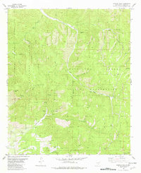 1982 Domingo Peak1982 Print · USGSOtero County was a landscape of high-country water management and federal land boundaries in the early 1980s. Genealogists and historians can trace the intricate network of remote water sources like Cirhuelas Springs, the Five Canyon Lookout Tower, and legacy features like CCC Tank.
 - 1982 Map of Mescalero
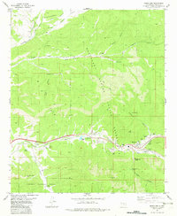 1982 Mescalero1982 Print · USGSMescalero and the surrounding canyon country are documented here in the early 1980s, showcasing the cultural heart of the reservation. Genealogists and local historians can trace family sites at the Mescalero Indian Cemetery and Blazers Cem, or locate landmarks like the Ceremonial Ground.
 - 1984 Map of Ruidoso
 1984 Ruidoso1984 Print · USGSThe high country of the Sierra Blanca and the Lincoln National Forest are captured here in the mid-eighties as tourism and traditional land use converged. Local historians can trace the Old Military Reservation Boundary, find historic workings like the Parsons Mine, or locate small communities such as Glencoe and Whitetail.
 - 2004 Map of Mescalero, 2006 Print
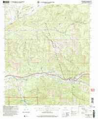 2004 Mescalero2006 Print · USGSThe Mescalero Apache Indian Reservation is documented here in the early 2000s, showing the intersection of tribal lands and the Lincoln National Forest. Researchers can identify local landmarks like the Ceremonial Ground, Blazers Cem, and the old Fish Hatchery near the Tularosa Creek.
 - 2004 Map of Domingo Peak, 2006 Print
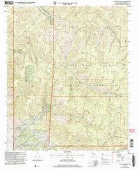 2004 Domingo Peak2006 Print · USGSThe high canyons and traditional lands of Otero County are documented here as they appeared at the start of the new millennium. Researchers can trace historic routes through Nogal Canyon and locate vital water sources like Maruche Lake and the Five Canyon Lookout Tower.
 - 2010 Map of Apache Summit, 2010 Print
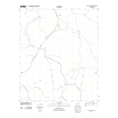 2010 Apache Summit2010 Print · USGSApache Summit sits atop the Otero County highlands in the early twenty-first century, revealing a ranching landscape dependent on water management. Genealogists and historians can trace family-named sites like Pete Gaines Tank and the Mescalero Apache Pit near Harley Mountain.
 - 2011 Map of Mescalero, 2011 Print
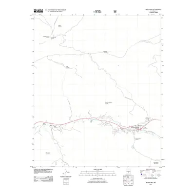 2011 Mescalero2011 Print · USGSThe community of Mescalero and the settlement of Bent are captured here in the Otero County highlands. Local researchers can trace family roots through the Mescalero Indian Cemetery and explore landmarks like Blazers Mill and Saint Josephs Mission.
 - 2011 Map of Domingo Peak, 2011 Print
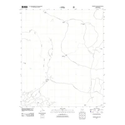 2011 Domingo Peak2011 Print · USGSThe Mescalero high country in the early twenty-first century is revealed here through its intricate canyon systems and network of Indian Service routes. Researchers can locate remote landmarks like Coronado Lodge, Five Canyon Lookout, and water sources such as Cirhuelas Springs.
 - 2013 Map of Apache Summit, 2013 Print
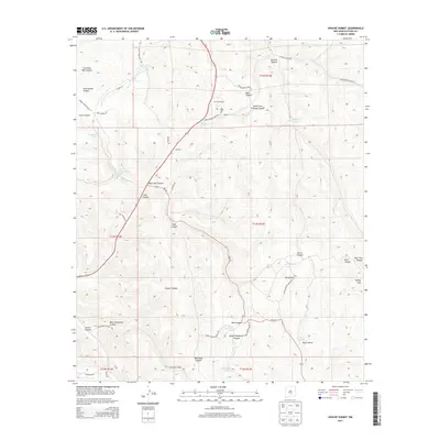 2013 Apache Summit2013 Print · USGSThe high canyons of Otero County are documented here during the early twenty-first century, showing a landscape defined by mountain ranching and remote service roads. Genealogists and historians can trace family-named landmarks and water sources like Pete Gaines Tank, Goat Windmill, and Cherokee Bill Canyon.
 - 2013 Map of Mescalero, 2013 Print
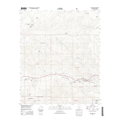 2013 Mescalero2013 Print · USGSThe high Sacramento Mountains and Tularosa Creek valley are captured here during the early twenty-first century. Genealogists and local historians can trace the foundations of Mescalero and Bent, locating sites like Blazers Mill and Saint Josephs Mission.
 - 2013 Map of Domingo Peak, 2013 Print
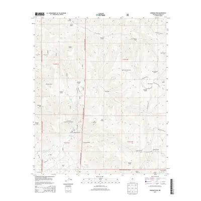 2013 Domingo Peak2013 Print · USGSThe Sacramento Mountains in Otero County are shown here in the early 2010s, mapping a rugged network of canyons and high-altitude springs. Researchers can trace the layout of Coronado Lodge, the Five Canyon Lookout, and local water sources like Maruche Lake.
 - 2017 Map of Mescalero, 2017 Print
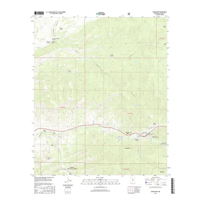 2017 Mescalero2017 Print · USGSThe mountain communities of Otero County are documented here in the late twenty-teens, showing the intersection of high-desert canyons and national forest land. Genealogists and local historians can trace the sites of Blazers Mill, Walters Cem, and Graveyard Spring.
 - 2017 Map of Domingo Peak, 2017 Print
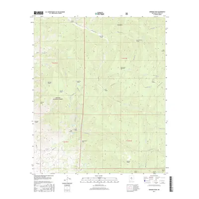 2017 Domingo Peak2017 Print · USGSThe Sacramento Mountains and the Mescalero reservation are shown here in the late twenty-teens, revealing a landscape of high canyons and remote forest roads. Researchers can locate vital water sources and landmarks like Maruche Lake, Domingo Peak, and the CCC Tank.
 - 2017 Map of Apache Summit, 2017 Print
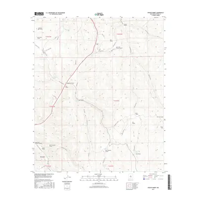 2017 Apache Summit2017 Print · USGSMescalero and the surrounding canyon country are captured in detail during this recent survey of the high-desert landscape. Researchers can trace water resources and backcountry routes through Cherokee Bill Canyon, Harley Mtn, and Goat Windmill.
 - 2020 Map of Domingo Peak, 2020 Print
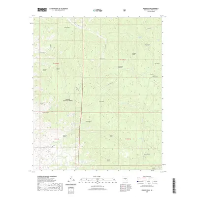 2020 Domingo Peak2020 Print · USGSOtero County's high-altitude terrain is captured here in the contemporary era, showcasing the intersection of canyon systems and forest lands. Genealogists and historians can trace routes through the Sacramento Mountains to landmarks like Domingo Peak and the remote Maruche Lake.
 - 2020 Map of Mescalero, 2020 Print
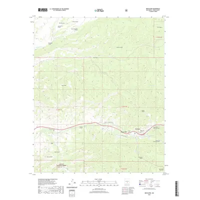 2020 Mescalero2020 Print · USGSMescalero and Bent sit within the canyons of Otero County in the early twenty-first century, surrounded by the peaks of the Lincoln National Forest. Genealogists and historians can trace local landmarks like Blazers Mill, Walters Cem, and Blazers Cem.
 - 2020 Map of Apache Summit, 2020 Print
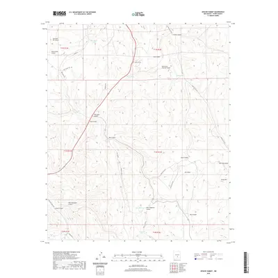 2020 Apache Summit2020 Print · USGSHigh-altitude ranching and rugged canyons define this Otero County region during the early twenty-first century. Researchers can trace land use through named features like Goat Windmill, Harley Mtn, and the many tanks supporting Apache Summit.
 - 2023 Map of Domingo Peak, 2023 Print
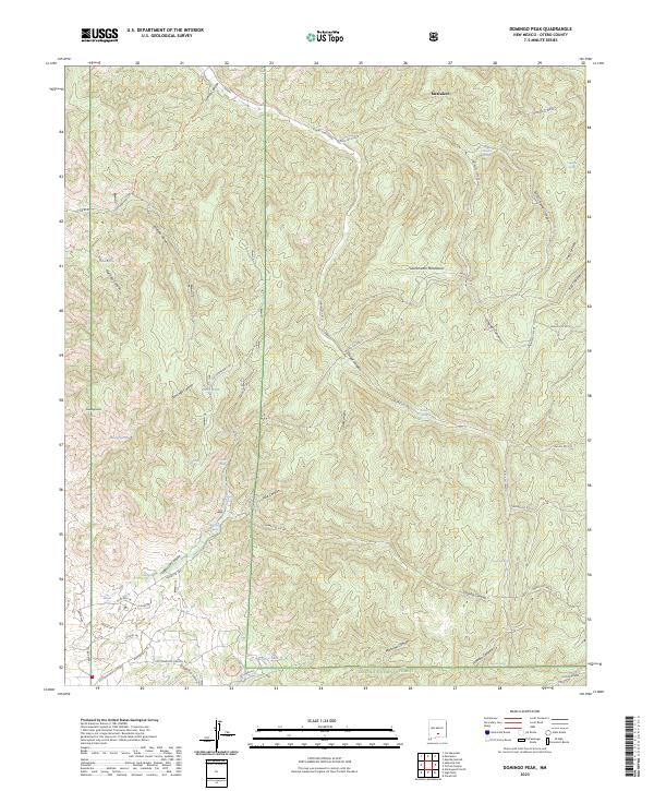 2023 Domingo Peak2023 Print · USGSThe high canyons of the Sacramento Mountains and the Mescalero reservation are shown here in modern detail. Local researchers can trace historic routes like the Butterfield Trl and find remote water sources like Maruche Lake and Dripping Spring.
 - 2023 Map of Mescalero, 2023 Print
 2023 Mescalero2023 Print · USGSThe Mescalero Apache reservation and surrounding Lincoln National Forest are documented in this contemporary survey. Researchers can locate specific legacy sites such as Blazers Mill, Our Lady of Guadalupe, and the Mescalero Indian Cem.
 - 2023 Map of Apache Summit, 2023 Print
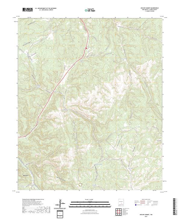 2023 Apache Summit2023 Print · USGSThe Mescalero Reservation area in the early 2020s is mapped here with focus on its complex canyon systems and critical water points. Researchers can trace land use patterns via Pete Gaines Tank, Goat Windmill, and the numerous Indian Service Routes.
End of results
Showing maps 1-25 of 25
Top cities near Mescalero
- Alamogordo historical maps
- Ruidoso historical maps
- Tularosa historical maps
- Ruidoso Downs historical maps
- Alamorosa historical maps
- High Rolls historical maps
See more
Top neighborhoods of Mescalero
Frequently asked questions
- What are the different types of historical maps available for Mescalero?
- What is the oldest map of Mescalero?
- Where can I purchase historical maps of Mescalero for my home or office?
- Where can I download high-res historical maps of Mescalero?
- Are there historical topographic maps available for Mescalero?
- Is there historical aerial imagery available for Mescalero?
- Where are historical maps of Mescalero sourced from?