2000s (21st Century) Maps of San Jon, New Mexico
Explore 10 historic maps of San Jon from the 2000s (21st Century). These maps offer a rare glimpse into what life looked like during the 2000s — showing old roads, neighborhoods, homes, and landmarks that have changed or disappeared over time.
Whether you're researching your family's past, planning a metal detecting trip, or studying how San Jon's landscape evolved across the 2000s, these high-resolution maps are a powerful tool for exploring the history of this region.
- Focus on a specific era: All maps on this page are from the 2000s, giving you a focused view of this time period.
- See what’s changed: Compare century-old streets, trails, and buildings to today's modern landscape using overlays and satellite layers.
- Research with precision: Use these maps for genealogy, historical research, land use analysis, or educational projects.
- View, download, or print: Maps are fully viewable online in high resolution, and can be downloaded or printed for your own records.
Start exploring San Jon's history through authentic maps from the 2000s. This is your window into the past.
San Jon, NM maps
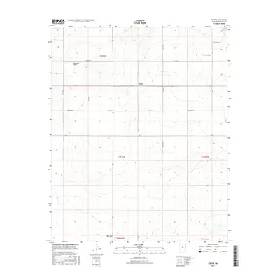
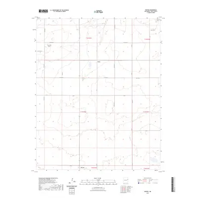
(10)- 2010 Map of Porter, 2010 Print
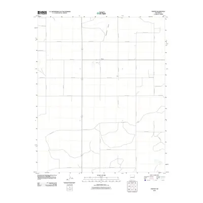 2010 Porter2010 Print · USGSCovers San Jon, including Porter, Quay County, and other nearby areas
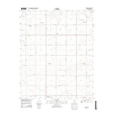
 - 2010 Map of San Jon, 2010 Print
 2010 San Jon2010 Print · USGSCovers San Jon, including Quay County, United States, and other nearby areas
 - 2013 Map of Porter, 2013 Print
 2013 Porter2013 Print · USGSCovers San Jon, including Porter, Quay County, and other nearby areas
 - 2013 Map of San Jon, 2013 Print
 2013 San Jon2013 Print · USGSCovers San Jon, including Quay County, United States, and other nearby areas
 - 2017 Map of San Jon, 2017 Print
 2017 San Jon2017 Print · USGSCovers San Jon, including Quay County, United States, and other nearby areas
 - 2017 Map of Porter, 2017 Print
 2017 Porter2017 Print · USGSCovers San Jon, including Porter, Quay County, and other nearby areas
 - 2020 Map of San Jon, 2020 Print
 2020 San Jon2020 Print · USGSCovers San Jon, including Quay County, United States, and other nearby areas
 - 2020 Map of Porter, 2020 Print
 2020 Porter2020 Print · USGSCovers San Jon, including Porter, Quay County, and other nearby areas
 - 2023 Map of Porter, 2023 Print
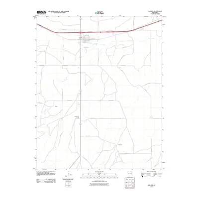
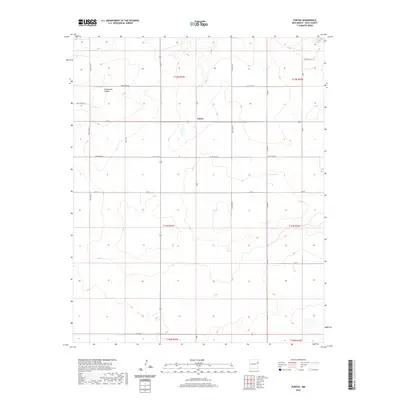
 2023 Porter2023 Print · USGSQuay County ranching lands and the rugged breaks of the Caprock are documented in this recent survey. Local historians can trace the rural grid between Porter and San Jon, following the deep descent of Tuscocollo Canyon through the high plains.
 - 2023 Map of San Jon, 2023 Print
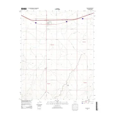
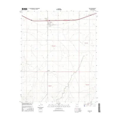
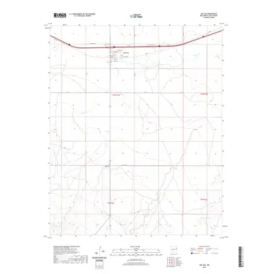
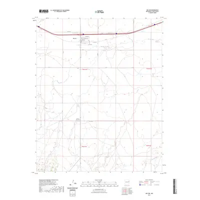 2023 San Jon2023 Print · USGSQuay County's high plains landscape is captured in this recent survey, centered on the historic crossroads of San Jon. Genealogists and local historians can trace burial sites at San Jon Cem and Pleasant Valley Cem or follow the path of Rte 66.
End of results
Showing maps 1-10 of 10
Frequently asked questions
- What are the different types of historical maps available for San Jon?
- What is the oldest map of San Jon?
- Where can I purchase historical maps of San Jon for my home or office?
- Where can I download high-res historical maps of San Jon?
- Are there historical topographic maps available for San Jon?
- Is there historical aerial imagery available for San Jon?
- Where are historical maps of San Jon sourced from?