Old Maps of San Jon, New Mexico for Academic Research
Study the evolution of San Jon with 14 high-resolution historic maps. Whether you're teaching, researching, or modeling changes in land use, these maps provide essential visual documentation of urban, environmental, and geographic change.
- Analyze long-term change: Track patterns in development, transportation, and natural features.
- Ideal for environmental or urban studies: Support academic projects with primary historical map data.
- Use in the classroom or lab: Educators and researchers rely on these maps to bring historical context to life.
These maps are a powerful tool for teaching, research, and visualizing how San Jon has changed over the decades.
San Jon, NM maps
(14)- 1954 Map of Tucumcari, 1965 Print
 1954 Tucumcari1965 Print · USGSThe high plains along the New Mexico and Texas border come alive in this mid-century survey, just as the regional highway network was maturing. Trace the historic route of U.S. 66 through Glenrio and San Jon or locate remote rail sidings like Rehm Station and Obar.2 unique versions available
 - 1958 Map of Tucumcari
 1958 Tucumcari1958 Print · USGSEastern New Mexico and the Texas Panhandle meet in this mid-century survey of the high plains ranching and rail corridor. Researchers can trace the path of Mother Road travelers through Tucumcari and Glenrio or locate remote rail stops like Nara Visa Station and Hartley Station.
 - 1968 Map of Porter, 1971 Print
 1968 Porter1971 Print · USGSThe rural plains of Quay County are captured in the late sixties, showing the small settlement of Porter and the winding Tuscocillo Canyon. Researchers can trace old utility lines like the local PIPELINE and identify specific family ranching resources including numerous wells.
 - 1968 Map of San Jon, 1971 Print
 1968 San Jon1971 Print · USGSThe village of San Jon and its surrounding ranchlands are captured here in the late sixties, showing the vital link provided by the CHICAGO ROCK ISLAND AND PACIFIC railroad. Genealogists can locate family landmarks like Pleasant Valley Cem and the South Coffman Windmill along the winding San Jon Creek.3 unique versions available
 - 2010 Map of Porter, 2010 Print
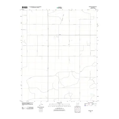 2010 Porter2010 Print · USGSEastern New Mexico ranching country remains defined by its vast grid of county roads and high desert plains at the start of the 21st century. Researchers can trace rural settlement patterns through the locations of Porter, Wallin, and the breaks of Tuscocollo Canyon.
 - 2010 Map of San Jon, 2010 Print
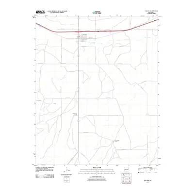 2010 San Jon2010 Print · USGSIn the early twenty-first century, the area around San Jon in Quay County remained a vital waypoint where the legendary Rte 66 met the modern grid. Researchers can locate the San Jon Cemetery, the San Jon Post Office, and the southern settlement of Garrett.
 - 2013 Map of Porter, 2013 Print
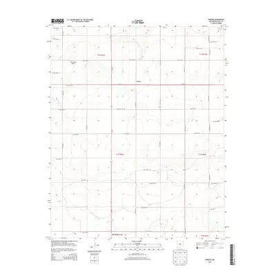 2013 Porter2013 Print · USGSQuay County ranching country is meticulously detailed in this early twenty-first-century survey of the high plains. Genealogists and historians can trace the rural grid connecting Porter, Wallin, and Gibson, or explore the geography of Tuscocoillo Canyon.
 - 2013 Map of San Jon, 2013 Print
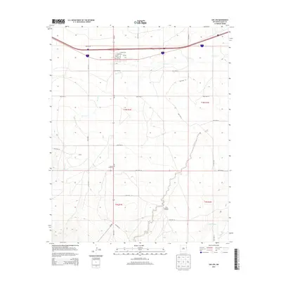 2013 San Jon2013 Print · USGSEastern New Mexico ranching and transit history are visible here during the early twenty-first century. Family researchers can locate San Jon Cem, the PO in San Jon, and landmarks like South Coffman Windmill.
 - 2017 Map of San Jon, 2017 Print
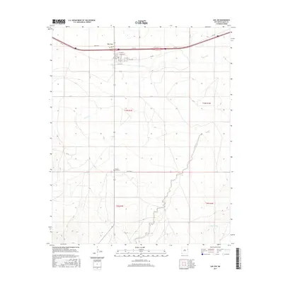 2017 San Jon2017 Print · USGSSan Jon and the surrounding plains of Quay County appear here in the early twenty-first century, showing the enduring path of Rte 66. Genealogists and local historians can trace the town's street plan and find burial sites like San Jon Cem and Pleasant Valley Cem.
 - 2017 Map of Porter, 2017 Print
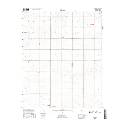 2017 Porter2017 Print · USGSQuay County ranch land and high plains crossroads are captured here in the late twenty-tens. Local historians can trace the precise section lines and rural routes surrounding Porter and San Jon, including the rugged break of Tuscocillo Canyon.
 - 2020 Map of San Jon, 2020 Print
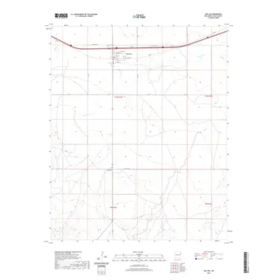 2020 San Jon2020 Print · USGSThe high plains of Quay County are captured here in the contemporary era, centered on the historic crossroads of San Jon. Local researchers can locate family sites at San-Jon Cem and Pleasant Valley Cem or trace the original path of Rte 66.
 - 2020 Map of Porter, 2020 Print
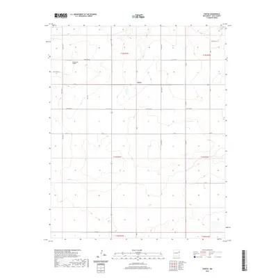 2020 Porter2020 Print · USGSHigh plains ranching and rural life in Quay County are preserved in this recent survey. Local researchers can trace the settlement at Porter and the rugged geography of Tuscocollo Canyon along the grid of Quay Road 65.
 - 2023 Map of Porter, 2023 Print
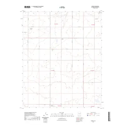 2023 Porter2023 Print · USGSQuay County ranching lands and the rugged breaks of the Caprock are documented in this recent survey. Local historians can trace the rural grid between Porter and San Jon, following the deep descent of Tuscocollo Canyon through the high plains.
 - 2023 Map of San Jon, 2023 Print
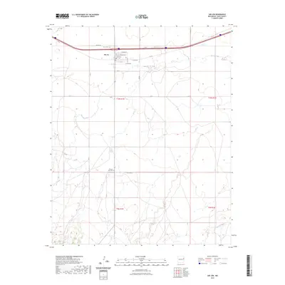 2023 San Jon2023 Print · USGSQuay County's high plains landscape is captured in this recent survey, centered on the historic crossroads of San Jon. Genealogists and local historians can trace burial sites at San Jon Cem and Pleasant Valley Cem or follow the path of Rte 66.
End of results
Showing maps 1-14 of 14
Frequently asked questions
- What are the different types of historical maps available for San Jon?
- What is the oldest map of San Jon?
- Where can I purchase historical maps of San Jon for my home or office?
- Where can I download high-res historical maps of San Jon?
- Are there historical topographic maps available for San Jon?
- Is there historical aerial imagery available for San Jon?
- Where are historical maps of San Jon sourced from?