Old Maps of San Jon, New Mexico for Hiking & Exploration
Hike through history with 14 historic maps of San Jon. Explore old trails, ghost towns, and forgotten backroads — perfect for outdoor adventurers and local explorers.
- Rediscover forgotten places: Map out old mining camps, roads, and footpaths that no longer exist on modern maps.
- Layer with modern tools: Combine with LiDAR or satellite views to plan hikes through historical terrain.
- Made for exploration: Popular among hikers, overlanders, and local history lovers.
Use these maps to find adventure and explore the hidden past of San Jon.
San Jon, NM maps
(14)- 1954 Map of Tucumcari, 1965 Print
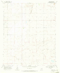
 1954 Tucumcari1965 Print · USGSThe high plains along the New Mexico and Texas border come alive in this mid-century survey, just as the regional highway network was maturing. Trace the historic route of U.S. 66 through Glenrio and San Jon or locate remote rail sidings like Rehm Station and Obar.2 unique versions available
 - 1958 Map of Tucumcari
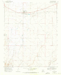
 1958 Tucumcari1958 Print · USGSEastern New Mexico and the Texas Panhandle meet in this mid-century survey of the high plains ranching and rail corridor. Researchers can trace the path of Mother Road travelers through Tucumcari and Glenrio or locate remote rail stops like Nara Visa Station and Hartley Station.
 - 1968 Map of Porter, 1971 Print
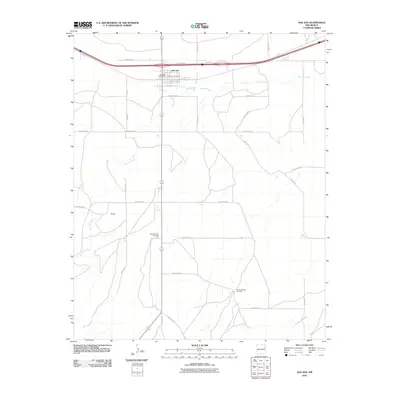
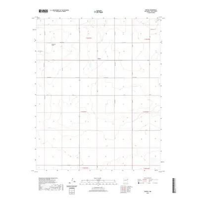
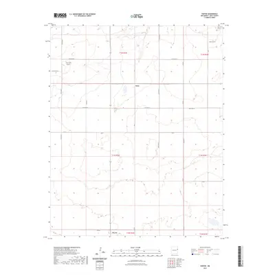
 1968 Porter1971 Print · USGSThe rural plains of Quay County are captured in the late sixties, showing the small settlement of Porter and the winding Tuscocillo Canyon. Researchers can trace old utility lines like the local PIPELINE and identify specific family ranching resources including numerous wells.
 - 1968 Map of San Jon, 1971 Print
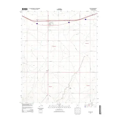
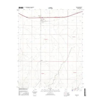
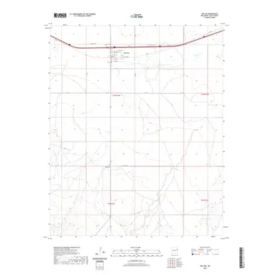
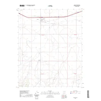
 1968 San Jon1971 Print · USGSThe village of San Jon and its surrounding ranchlands are captured here in the late sixties, showing the vital link provided by the CHICAGO ROCK ISLAND AND PACIFIC railroad. Genealogists can locate family landmarks like Pleasant Valley Cem and the South Coffman Windmill along the winding San Jon Creek.3 unique versions available
 - 2010 Map of Porter, 2010 Print
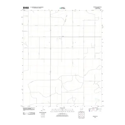 2010 Porter2010 Print · USGSCovers San Jon, including Porter, Quay County, and other nearby areas
 - 2010 Map of San Jon, 2010 Print
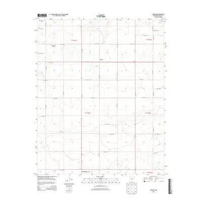
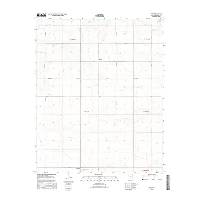
 2010 San Jon2010 Print · USGSCovers San Jon, including Quay County, United States, and other nearby areas
 - 2013 Map of Porter, 2013 Print
 2013 Porter2013 Print · USGSCovers San Jon, including Porter, Quay County, and other nearby areas
 - 2013 Map of San Jon, 2013 Print
 2013 San Jon2013 Print · USGSCovers San Jon, including Quay County, United States, and other nearby areas
 - 2017 Map of San Jon, 2017 Print
 2017 San Jon2017 Print · USGSCovers San Jon, including Quay County, United States, and other nearby areas
 - 2017 Map of Porter, 2017 Print
 2017 Porter2017 Print · USGSCovers San Jon, including Porter, Quay County, and other nearby areas
 - 2020 Map of San Jon, 2020 Print
 2020 San Jon2020 Print · USGSCovers San Jon, including Quay County, United States, and other nearby areas
 - 2020 Map of Porter, 2020 Print
 2020 Porter2020 Print · USGSCovers San Jon, including Porter, Quay County, and other nearby areas
 - 2023 Map of Porter, 2023 Print
 2023 Porter2023 Print · USGSQuay County ranching lands and the rugged breaks of the Caprock are documented in this recent survey. Local historians can trace the rural grid between Porter and San Jon, following the deep descent of Tuscocollo Canyon through the high plains.
 - 2023 Map of San Jon, 2023 Print
 2023 San Jon2023 Print · USGSQuay County's high plains landscape is captured in this recent survey, centered on the historic crossroads of San Jon. Genealogists and local historians can trace burial sites at San Jon Cem and Pleasant Valley Cem or follow the path of Rte 66.
End of results
Showing maps 1-14 of 14
Frequently asked questions
- What are the different types of historical maps available for San Jon?
- What is the oldest map of San Jon?
- Where can I purchase historical maps of San Jon for my home or office?
- Where can I download high-res historical maps of San Jon?
- Are there historical topographic maps available for San Jon?
- Is there historical aerial imagery available for San Jon?
- Where are historical maps of San Jon sourced from?