1980s Maps of Rio Arriba County, New Mexico
Explore 44 historic maps of Rio Arriba County from the 1980s. These maps offer a rare glimpse into what life looked like during the 1980s — showing old roads, neighborhoods, homes, and landmarks that have changed or disappeared over time.
Whether you're researching your family's past, planning a metal detecting trip, or studying how Rio Arriba County's landscape evolved across the 1980s, these high-resolution maps are a powerful tool for exploring the history of this region.
- Focus on a specific era: All maps on this page are from the 1980s, giving you a focused view of this time period.
- See what’s changed: Compare century-old streets, trails, and buildings to today's modern landscape using overlays and satellite layers.
- Research with precision: Use these maps for genealogy, historical research, land use analysis, or educational projects.
- View, download, or print: Maps are fully viewable online in high resolution, and can be downloaded or printed for your own records.
Start exploring Rio Arriba County's history through authentic maps from the 1980s. This is your window into the past.
Rio Arriba County, NM maps
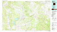
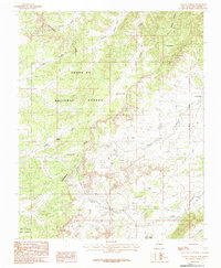
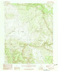
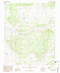
(44)- 1980 Map of Navajo Reservoir, 1981 Print
 1980 Navajo Reservoir1981 Print · USGSCovers Rio Arriba County, including Bloomfield, Aztec, and other nearby areas
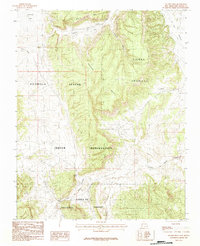
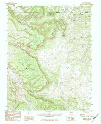
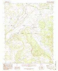
 - 1981 Map of Chama, 1982 Print
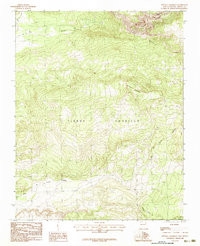
 1981 Chama1982 Print · USGSCovers Rio Arriba County, including Chama, Tierra Amarilla, and other nearby areas
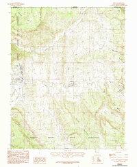
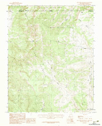
 - 1982 Map of Wheeler Peak, 1983 Print
 1982 Wheeler Peak1983 Print · USGSCovers Rio Arriba County, including Questa, Red River, and other nearby areas
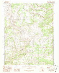
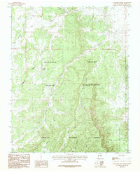
 - 1983 Map of East Gavilan Canyon
 1983 East Gavilan Canyon1983 Print · USGSCovers Rio Arriba County, including Crowther Cow Camp, United States, and other nearby areas
 - 1983 Map of Pounds Mesa
 1983 Pounds Mesa1983 Print · USGSCovers Rio Arriba County, including United States, New Mexico, and other nearby areas
 - 1983 Map of Dulce
 1983 Dulce1983 Print · USGSCovers Rio Arriba County, including Dulce, Amargo, and other nearby areas2 unique versions available
 - 1983 Map of Lagunitas Creek
 1983 Lagunitas Creek1983 Print · USGSCovers Rio Arriba County, including United States, New Mexico, and other nearby areas
 - 1983 Map of French Mesa
 1983 French Mesa1983 Print · USGSCovers Rio Arriba County, including Llaves, United States, and other nearby areas
 - 1983 Map of Laguna Gurule
 1983 Laguna Gurule1983 Print · USGSCovers Rio Arriba County, including United States, New Mexico, and other nearby areas
 - 1983 Map of Taos
 1983 Taos1983 Print · USGSCovers Rio Arriba County, including Taos, Angel Fire, and other nearby areas2 unique versions available
 - 1983 Map of Monero
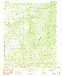
 1983 Monero1983 Print · USGSCovers Rio Arriba County, including Monero, Archuleta County, and other nearby areas
 - 1983 Map of Brazos
 1983 Brazos1983 Print · USGSCovers Rio Arriba County, including Chama, Brazos, and other nearby areas2 unique versions available
 - 1983 Map of Canjilon Mountain
 1983 Canjilon Mountain1983 Print · USGSCovers Rio Arriba County, including United States, New Mexico, and other nearby areas2 unique versions available
 - 1983 Map of Horse Lake
 1983 Horse Lake1983 Print · USGSCovers Rio Arriba County, including United States, New Mexico, and other nearby areas
 - 1983 Map of Toltec Mesa
 1983 Toltec Mesa1983 Print · USGSCovers Rio Arriba County, including Toltec, Conejos County, and other nearby areas
 - 1983 Map of Tierra Amarilla
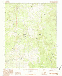
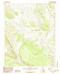
 1983 Tierra Amarilla1983 Print · USGSCovers Rio Arriba County, including Tierra Amarilla, Rutheron, and other nearby areas2 unique versions available
 - 1983 Map of West Fork Rio Brazos
 1983 West Fork Rio Brazos1983 Print · USGSCovers Rio Arriba County, including Conejos County, Archuleta County, and other nearby areas2 unique versions available
 - 1983 Map of Los Indios Canyon
 1983 Los Indios Canyon1983 Print · USGSCovers Rio Arriba County, including United States, New Mexico, and other nearby areas
 - 1983 Map of Penasco Amarillo
 1983 Penasco Amarillo1983 Print · USGSCovers Rio Arriba County, including United States, New Mexico, and other nearby areas
 - 1983 Map of Durango
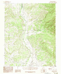
 1983 Durango1983 Print · USGSCovers Rio Arriba County, including Durango, Bayfield, and other nearby areas
 - 1983 Map of El Vado
 1983 El Vado1983 Print · USGSCovers Rio Arriba County, including Wright Place, El Vado, and other nearby areas
 - 1983 Map of Sawmill Mesa
 1983 Sawmill Mesa1983 Print · USGSCovers Rio Arriba County, including United States, New Mexico, and other nearby areas
 - 1983 Map of Heron Reservoir
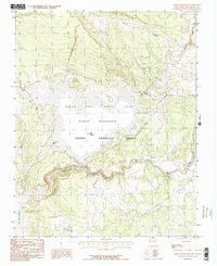 1983 Heron Reservoir1983 Print · USGSCovers Rio Arriba County, including United States, New Mexico, and other nearby areas2 unique versions available
 - 1983 Map of Cebolla
 1983 Cebolla1983 Print · USGSCovers Rio Arriba County, including Cebolla, United States, and other nearby areas
 - 1983 Map of Las Nutrias
 1983 Las Nutrias1983 Print · USGSCovers Rio Arriba County, including Las Nutrias, United States, and other nearby areas
Showing maps 1-25 of 44
Top cities of Rio Arriba County
Frequently asked questions
- What are the different types of historical maps available for Rio Arriba County?
- What is the oldest map of Rio Arriba County?
- Where can I purchase historical maps of Rio Arriba County for my home or office?
- Where can I download high-res historical maps of Rio Arriba County?
- Are there historical topographic maps available for Rio Arriba County?
- Is there historical aerial imagery available for Rio Arriba County?
- Where are historical maps of Rio Arriba County sourced from?