2010s Maps of Rio Arriba County, New Mexico
Explore 377 historic maps of Rio Arriba County from the 2010s. These maps offer a rare glimpse into what life looked like during the 2010s — showing old roads, neighborhoods, homes, and landmarks that have changed or disappeared over time.
Whether you're researching your family's past, planning a metal detecting trip, or studying how Rio Arriba County's landscape evolved across the 2010s, these high-resolution maps are a powerful tool for exploring the history of this region.
- Focus on a specific era: All maps on this page are from the 2010s, giving you a focused view of this time period.
- See what’s changed: Compare century-old streets, trails, and buildings to today's modern landscape using overlays and satellite layers.
- Research with precision: Use these maps for genealogy, historical research, land use analysis, or educational projects.
- View, download, or print: Maps are fully viewable online in high resolution, and can be downloaded or printed for your own records.
Start exploring Rio Arriba County's history through authentic maps from the 2010s. This is your window into the past.
Rio Arriba County, NM maps
(377)- 2010 Map of Las Nutrias, 2010 Print
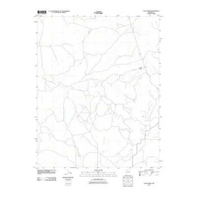 2010 Las Nutrias2010 Print · USGSThe high canyons of Rio Arriba County are captured here in the early twenty-first century, showcasing a rural landscape shaped by ancient drainages. Trace the routes of local families along Rio Nutrias and through the small settlements of Las Nutrias and Duran.
 - 2010 Map of Chama, 2010 Print
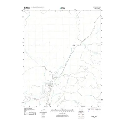 2010 Chama2010 Print · USGSThe village of Chama and its narrow-gauge heritage are preserved here in the early twenty-first century. Genealogists and rail historians can trace the Cumbres and Toltec Scenic Railroad through the valley, past the Chama Cemetery and the settlement of Lobato.
 - 2010 Map of Sawmill Mesa, 2010 Print
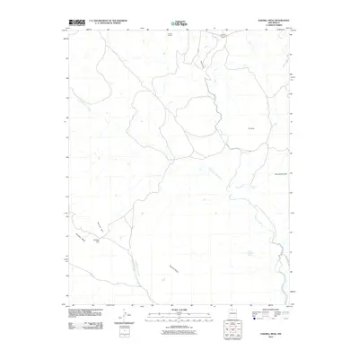 2010 Sawmill Mesa2010 Print · USGSUpper Rio Arriba County’s high mesa country is captured here during the first decade of the 2000s. Researchers can trace infrastructure and landmarks across this terrain, from the Azotea Tunnel to local points like Casa Escondida and Tecolote Gap.
 - 2010 Map of Chromo Mountain, 2010 Print
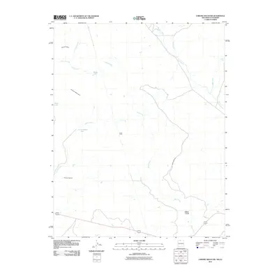 2010 Chromo Mountain2010 Print · USGSThe high-country borderlands between New Mexico and Colorado are mapped here in the early twenty-first century. Researchers can trace the engineering of the Azotea Tunnel and the drainage of Rio Chamita near Chromo Mountain and Beaver Lake.
 - 2010 Map of Horse Lake, 2010 Print
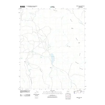 2010 Horse Lake2010 Print · USGSRio Arriba County’s high mesa country is documented here in the early twenty-first century, showcasing a landscape of isolated water sources and expansive plateaus. Researchers can trace local water management features like Horse Lake Dam and Enbom Lake, or the distinct boundaries of Tecolote Mesa.
 - 2010 Map of Brazos Peak, 2010 Print
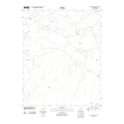 2010 Brazos Peak2010 Print · USGSBrazos Peak and the high country of Rio Arriba County are captured here during the first decade of the 2000s. Researchers can trace the geography of high-altitude ranching through landmarks like Poso Cow Camp, Jensen-Thomas Cow Camp, and the dramatic Brazos Cliffs.
 - 2010 Map of Brazos, 2010 Print
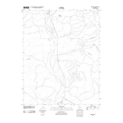 2010 Brazos2010 Print · USGSNorthern New Mexico at the start of the 2010s reveals a landscape of high-altitude ranching and riverfront settlements. Genealogists and historians can trace the irrigation networks of the Willow Creek Mesa Ditch and locate the valley communities of Brazos and Lower Brazos.
 - 2010 Map of Apache Mesa, 2010 Print
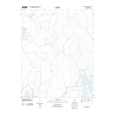 2010 Apache Mesa2010 Print · USGSRio Arriba County at the start of the twenty-first century reveals a landscape shaped by water management and high-mesa ranching. Genealogists and researchers can trace the perimeter of the El Vado Reservoir or locate isolated landmarks like the Pound Ranch and Stone Lake Dam.
 - 2010 Map of Pinabetoso Peaks, 2010 Print
 2010 Pinabetoso Peaks2010 Print · USGSRio Arriba County in the early twenty-first century reveals a land managed for wildlife and ranching along the highway to the Colorado border. Researchers can locate remote resource markers like the Maestas Antelope Guzzler and the Pina Game Water Unit near Pinabetoso Peaks.
 - 2010 Map of Cement Lake, 2010 Print
 2010 Cement Lake2010 Print · USGSRio Arriba County at the start of the 2010s shows a landscape of high canyons and vital water management. Genealogists and local historians can trace family-named sites such as Juan Vigil Pond or navigate the routes along Pounds Mill Rd and Dike Rock Ridge.
 - 2010 Map of Gonzales Mesa, 2010 Print
 2010 Gonzales Mesa2010 Print · USGSRio Arriba County’s high mesa country is captured here in the early twenty-first century, showing a remote landscape of canyons and plateaus. Researchers can trace land use at Kaime Ranch or follow the complex drainage of Cañon Largo and Tapicito Creek.
 - 2010 Map of Billy Rice Canyon, 2010 Print
 2010 Billy Rice Canyon2010 Print · USGSRio Arriba County ranching country is detailed here during the early twenty-first century. Researchers can trace the legacy of local landholders at Leeson Ranch and White Ranch or follow the deep cuts of Billy Rice Canyon and Cañada Larga.
 - 2010 Map of John Mills Lake, 2010 Print
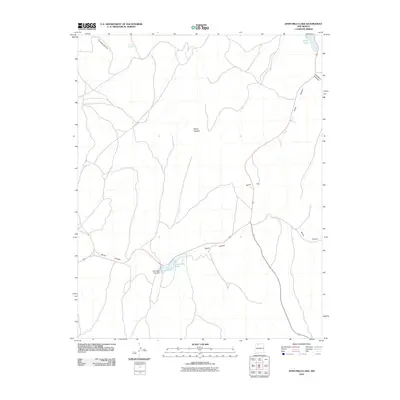 2010 John Mills Lake2010 Print · USGSRio Arriba County in the early twenty-first century is a landscape of high-elevation basins and essential water management. Genealogists and historians can trace family-named landmarks and water sources like John Mills Lake, Burns Hill, and Puerto Spring.
 - 2010 Map of Counselor, 2010 Print
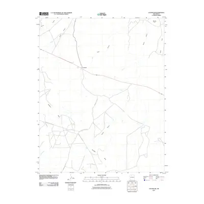 2010 Counselor2010 Print · USGSCounselor and the surrounding high mesa country of the Eastern Navajo Agency are documented here during the early twenty-first century. Researchers can trace the network of tribal roads like Indian Service Rte 46 and identify features of the San Juan Basin Gas Field.
 - 2010 Map of Tancosa Windmill, 2010 Print
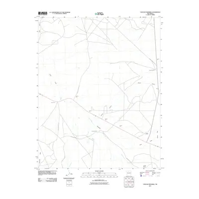 2010 Tancosa Windmill2010 Print · USGSSandoval County’s desert plateau is documented here during the early twenty-first century, showing the intersection of ranching life and tribal lands. Researchers can locate remote landmarks like Tancosa Windmill, the Taylor Ranch, and the Jicarilla Apache Deposit.
 - 2010 Map of Otero Store, 2010 Print
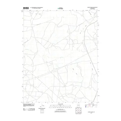 2010 Otero Store2010 Print · USGSArid plateaus and deep canyons define this portion of Rio Arriba County during the early twenty-first century. Researchers can trace the path of Indian Service Road J18 as it navigates between Wild Horse Mesa and the drainage of Cañada Largo.
 - 2010 Map of Fourmile Canyon, 2010 Print
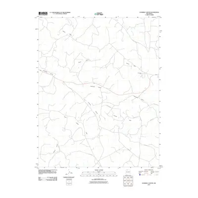 2010 Fourmile Canyon2010 Print · USGSRio Arriba County’s high mesas and deep canyons are documented here during the early 2000s as modern roads began tracing old routes. Genealogists and researchers can locate Gobernador Camp and trace the drainage of Fourmile Canyon and Frances Creek.
 - 2010 Map of Santos Peak, 2010 Print
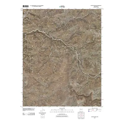 2010 Santos Peak2010 Print · USGSThe high mesas and deep canyons of Rio Arriba County are captured here in the early twenty-first century. Researchers can trace the rugged network of drainages like Muñoz Canyon and find local landmarks such as Camp Ercan and Santos Peak.
 - 2010 Map of Gould Pass, 2010 Print
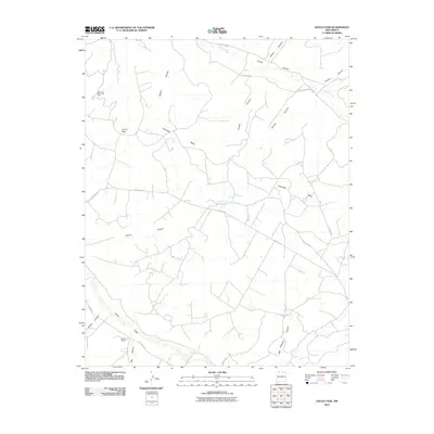 2010 Gould Pass2010 Print · USGSSan Juan County ranching and energy lands are documented here in the early twenty-first century as the desert landscape is crisscrossed by county roads. Trace land use near Kaime Ranch, the seasonal waters of Cuervo Lake, and the expansive San Juan Basin Gas Field.
 - 2010 Map of Delgadita Mesa, 2010 Print
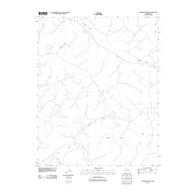 2010 Delgadita Mesa2010 Print · USGSSan Juan County at the start of the 21st century remains a landscape of high plateaus and deep arroyos. Researchers can trace the sparse settlement at Pettius and the complex drainage networks of Gobernador Canyon and Delgadita Mesa.
 - 2010 Map of Lapis Point, 2010 Print
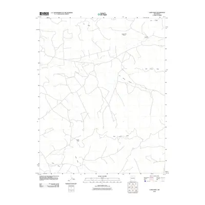 2010 Lapis Point2010 Print · USGSRio Arriba County’s high mesas and ranching landscape are captured here in the early twenty-first century. Researchers can trace land use patterns through landmarks like Las Norias Windmill, Apache Buil Pasture, and the geographical marker at Eagles Nest.
 - 2010 Map of Lindrith, 2010 Print
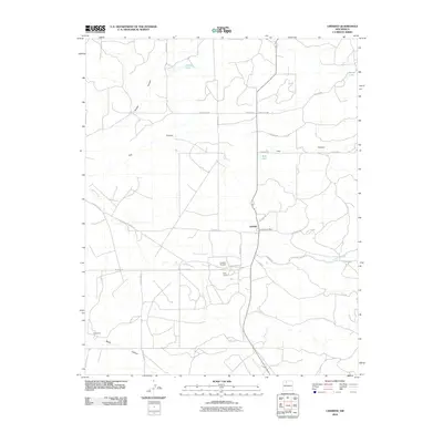 2010 Lindrith2010 Print · USGSLindrith and the high desert of Rio Arriba County appear in this modern survey of the region's ranching and aviation infrastructure. Researchers can trace the layout of the Lindrith Airpark, locate the Lindrith Post Office, and map the rugged reaches of Gavilan Canyon and Cañada Larga.
 - 2010 Map of Navajo Dam, 2010 Print
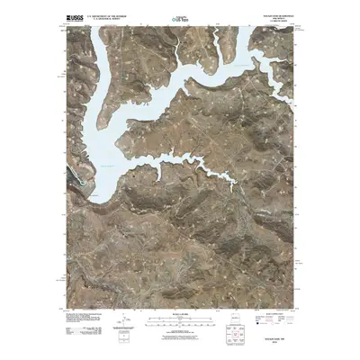 2010 Navajo Dam2010 Print · USGSThe San Juan River valley in the early twenty-first century is defined by the massive engineering of the Navajo Dam. Researchers can trace the shoreline of the Navajo Reservoir and locate local landmarks such as Gomez Ranch and Navajo City.
 - 2010 Map of Wirt Canyon, 2010 Print
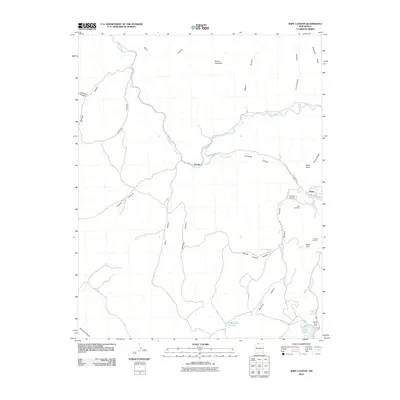 2010 Wirt Canyon2010 Print · USGSNorthern New Mexico's canyon country comes into focus in this 2010 study of the high desert terrain surrounding the Navajo River. Genealogists and local historians can locate several family-named burial grounds, such as Martinez Cemetery and Gomez Cemetery, alongside landmarks like Dulce Lake Dam.
 - 2010 Map of Bancos Mesa NW, 2010 Print
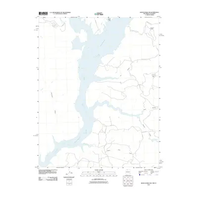 2010 Bancos Mesa NW2010 Print · USGSNavajo Reservoir and its sprawling desert shoreline are documented here during the first decade of the new millennium. Researchers can trace high-altitude mesa roads and vital water infrastructure like the Navajo Landing Strip, Miller Ditch, and Bancos.
Showing maps 1-25 of 377
Top cities of Rio Arriba County
Frequently asked questions
- What are the different types of historical maps available for Rio Arriba County?
- What is the oldest map of Rio Arriba County?
- Where can I purchase historical maps of Rio Arriba County for my home or office?
- Where can I download high-res historical maps of Rio Arriba County?
- Are there historical topographic maps available for Rio Arriba County?
- Is there historical aerial imagery available for Rio Arriba County?
- Where are historical maps of Rio Arriba County sourced from?