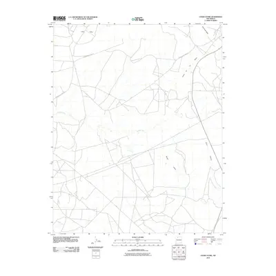
2010 Map of Otero Store
USGS Topo · Published 2010About this map
Indian Service Road J18 provides the primary infrastructure through this portion of Rio Arriba County, connecting the high desert plateaus and deeply carved drainages typical of the region. The topography is defined by significant geographical markers such as Wild Horse Mesa in the northeast and the winding course of Cañada Largo which cuts across the central landscape. The network of valleys, including Lapis Valley and Navajo Valley, illustrates a complex natural drainage system into Cañon de los Ojitos and Burro Canyon. This 2010 survey by the U.S. Geological Survey details a landscape where traditional land access routes follow the natural contours of the mesas and canyons, reflecting the geographic constraints on transportation and settlement in this area of New Mexico.
Find a feature on this map
7 named features on this map. Tap any name to fly to it.
Don’t see what you’re looking for? This feature index may not catch every label — zoom into the map to look around manually.
Map Details
Editions of this 2010 Otero Store Map
This is the sole edition of this map. No revisions or reprints were ever made.
Other maps of this area

1889 · Largo
USGS Topo · 1:250,000

1895 · Largo
USGS Topo · 1:250,000

1954 · Aztec
USGS Topo · 1:250,000

1958 · Aztec
USGS Topo · 1:250,000

1962 · Aztec
USGS Topo · 1:250,000

1963 · Lapis Point
USGS Topo · 1:24,000

1963 · Schmitz Ranch
USGS Topo · 1:24,000

1963 · Tayfoya Canyon
USGS Topo · 1:24,000

1963 · Gonzales Mesa
USGS Topo · 1:24,000

1963 · Otero Store
USGS Topo · 1:24,000