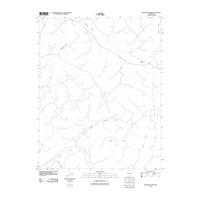
2010 Map of Delgadita Mesa
USGS Topo · Published 2010About this map
Gobernador Canyon cuts a long diagonal path across this high desert landscape in northwestern New Mexico, serving as a primary corridor for both drainage and transit. The area is defined by massive plateau features, including Delgadita Mesa, Manzanares Mesa, and Frances Mesa, which dominate the vertical relief of the quadrangle. The small settlement of Pettius sits along the eastern edge of the canyon, marking one of the few named residential points in this sparsely populated region.
Find a feature on this map
14 named features on this map. Tap any name to fly to it.
Don’t see what you’re looking for? This feature index may not catch every label — zoom into the map to look around manually.
Map Details
Editions of this 2010 Delgadita Mesa Map
This is the sole edition of this map. No revisions or reprints were ever made.
Other maps of this area

1889 · Largo
USGS Topo · 1:250,000

1895 · Largo
USGS Topo · 1:250,000

1954 · Pine River
USGS Topo · 1:24,000

1954 · Gomez Ranch
USGS Topo · 1:24,000

1954 · Aztec
USGS Topo · 1:250,000

1958 · Aztec
USGS Topo · 1:250,000

1959 · Gould Pass
USGS Topo · 1:62,500

1959 · Navajo Dam
USGS Topo · 1:62,500

1962 · Aztec
USGS Topo · 1:250,000

1963 · Fourmile Canyon
USGS Topo · 1:24,000