2020s Maps of Rio Arriba County, New Mexico
Explore 124 historic maps of Rio Arriba County from the 2020s. These maps offer a rare glimpse into what life looked like during the 2020s — showing old roads, neighborhoods, homes, and landmarks that have changed or disappeared over time.
Whether you're researching your family's past, planning a metal detecting trip, or studying how Rio Arriba County's landscape evolved across the 2020s, these high-resolution maps are a powerful tool for exploring the history of this region.
- Focus on a specific era: All maps on this page are from the 2020s, giving you a focused view of this time period.
- See what’s changed: Compare century-old streets, trails, and buildings to today's modern landscape using overlays and satellite layers.
- Research with precision: Use these maps for genealogy, historical research, land use analysis, or educational projects.
- View, download, or print: Maps are fully viewable online in high resolution, and can be downloaded or printed for your own records.
Start exploring Rio Arriba County's history through authentic maps from the 2020s. This is your window into the past.
Rio Arriba County, NM maps
(124)- 2022 Map of Carracas, 2022 Print
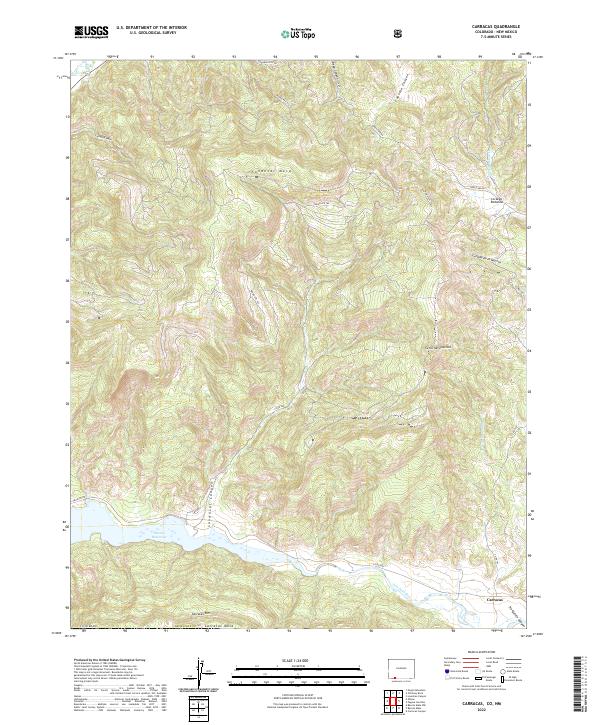 2022 Carracas2022 Print · USGSCovers Rio Arriba County, including Carracas, Archuleta County, and other nearby areas
 - 2022 Map of Allison, 2022 Print
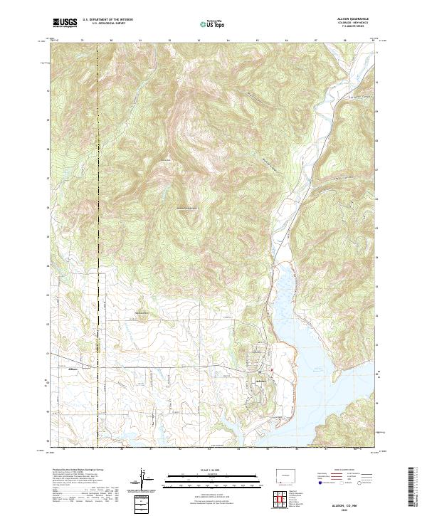 2022 Allison2022 Print · USGSCovers Rio Arriba County, including Allison, Arboles, and other nearby areas
 - 2022 Map of Edith, 2022 Print
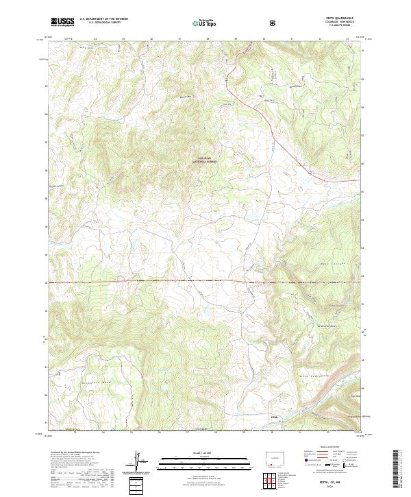 2022 Edith2022 Print · USGSCovers Rio Arriba County, including Edith, Archuleta County, and other nearby areas
 - 2022 Map of Trujillo, 2022 Print
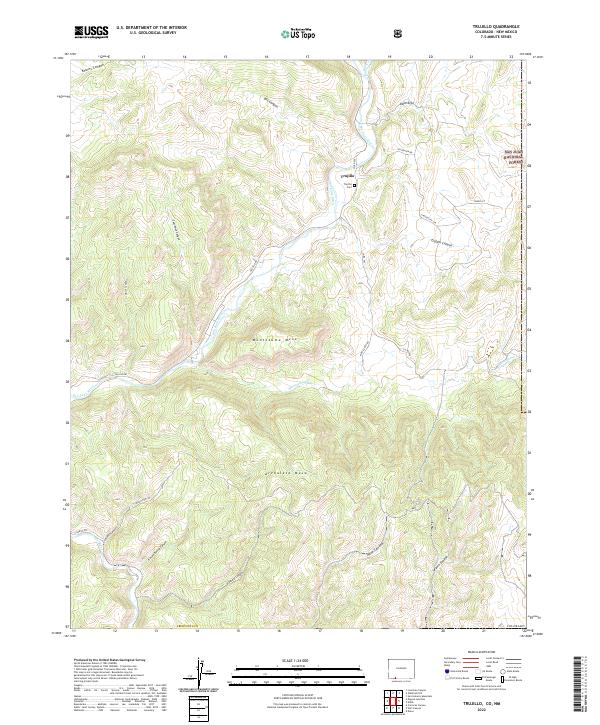 2022 Trujillo2022 Print · USGSCovers Rio Arriba County, including Trujillo, Archuleta County, and other nearby areas
 - 2022 Map of Pagosa Junction, 2022 Print
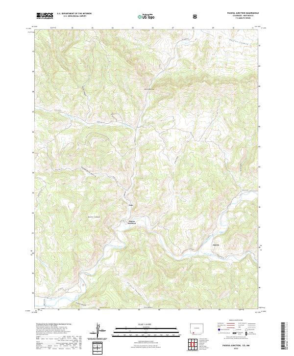 2022 Pagosa Junction2022 Print · USGSCovers Rio Arriba County, including Gato, Juanita, and other nearby areas
 - 2023 Map of Espanola, 2023 Print
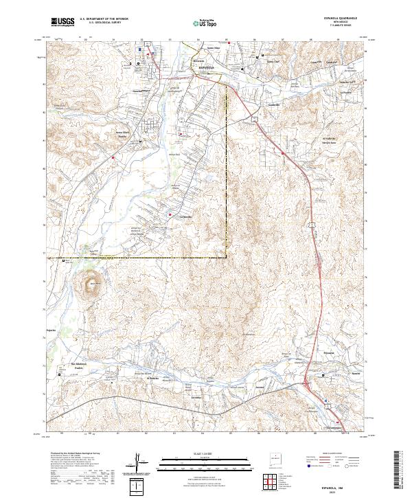 2023 Espanola2023 Print · USGSCovers Rio Arriba County, including Española, Espanola, and other nearby areas
 - 2023 Map of Seven Springs, 2023 Print
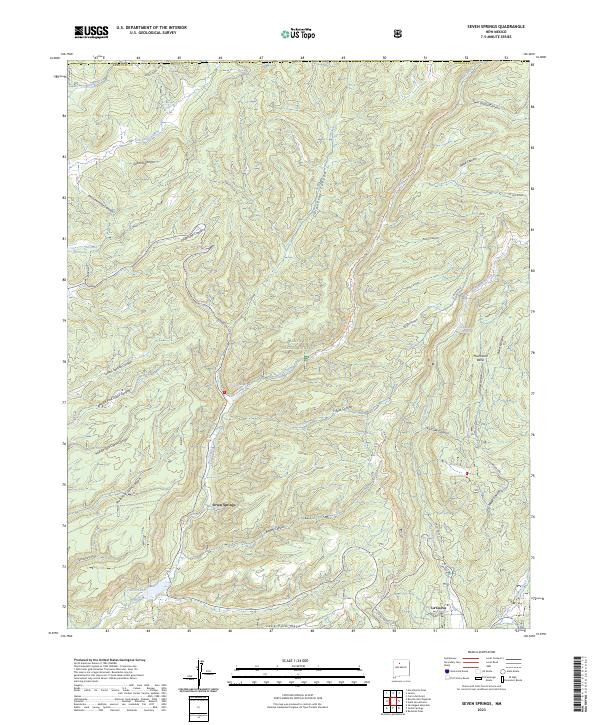 2023 Seven Springs2023 Print · USGSCovers Rio Arriba County, including Seven Springs, Sandoval County, and other nearby areas
 - 2023 Map of Rancho del Chaparral, 2023 Print
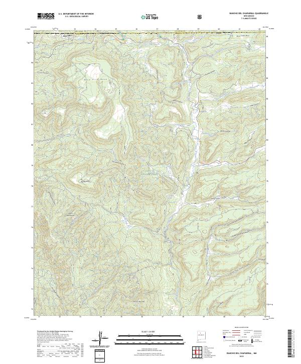 2023 Rancho del Chaparral2023 Print · USGSCovers Rio Arriba County, including Deer Lake, Sandoval County, and other nearby areas
 - 2023 Map of Otero Store, 2023 Print
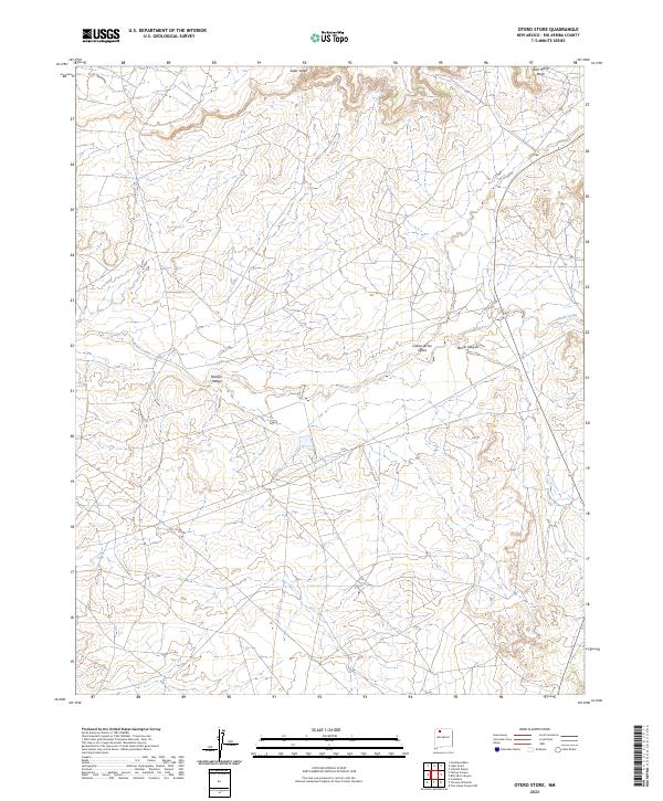 2023 Otero Store2023 Print · USGSCovers Rio Arriba County, including United States, New Mexico, and other nearby areas
 - 2023 Map of Five Lakes Canyon NE, 2023 Print
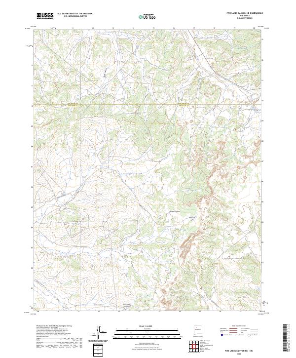 2023 Five Lakes Canyon NE2023 Print · USGSCovers Rio Arriba County, including Sandoval County, United States, and other nearby areas
 - 2023 Map of Lapis Point, 2023 Print
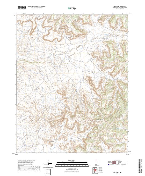 2023 Lapis Point2023 Print · USGSCovers Rio Arriba County, including United States, New Mexico, and other nearby areas
 - 2023 Map of Gould Pass, 2023 Print
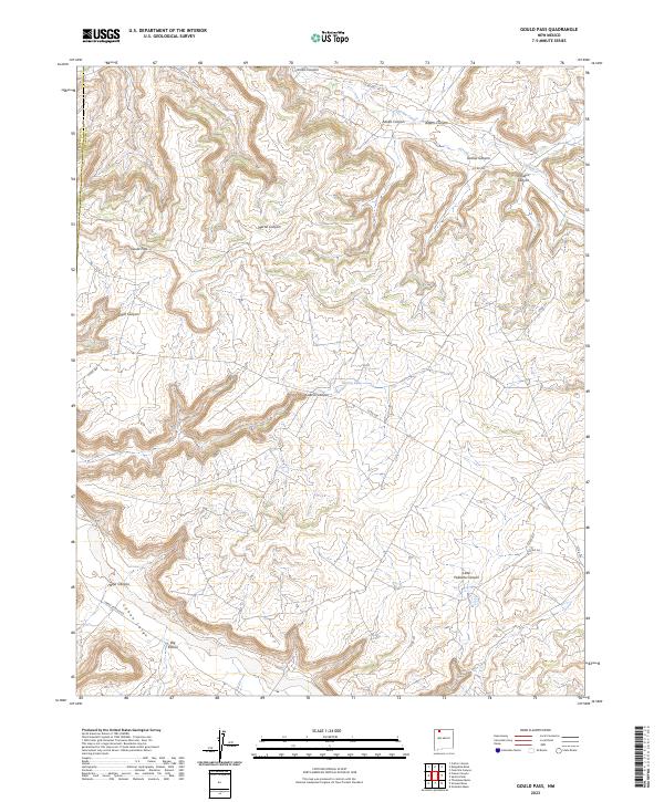 2023 Gould Pass2023 Print · USGSCovers Rio Arriba County, including San Juan County, United States, and other nearby areas
 - 2023 Map of Bixler Ranch, 2023 Print
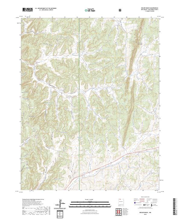 2023 Bixler Ranch2023 Print · USGSCovers Rio Arriba County, including United States, New Mexico, and other nearby areas
 - 2023 Map of Crow Mesa East, 2023 Print
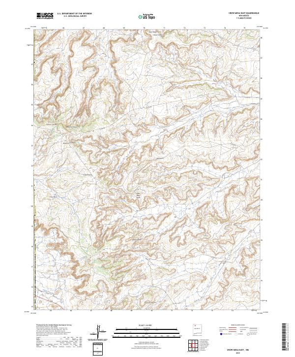 2023 Crow Mesa East2023 Print · USGSCovers Rio Arriba County, including San Juan County, United States, and other nearby areas
 - 2023 Map of Tancosa Windmill, 2023 Print
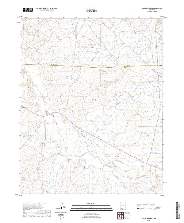 2023 Tancosa Windmill2023 Print · USGSCovers Rio Arriba County, including Sandoval County, United States, and other nearby areas
 - 2023 Map of Counselor, 2023 Print
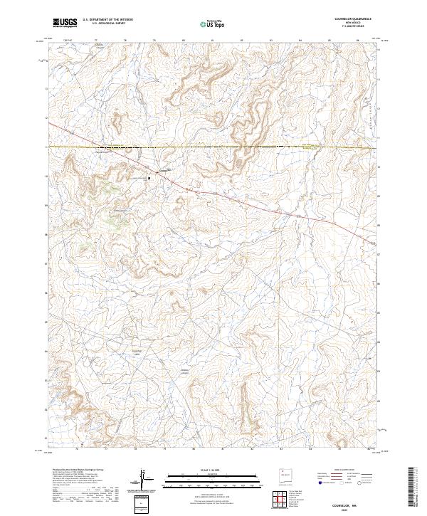 2023 Counselor2023 Print · USGSCovers Rio Arriba County, including Eastern Navajo Agency, Counselor, and other nearby areas
 - 2023 Map of Espinosa Ranch, 2023 Print
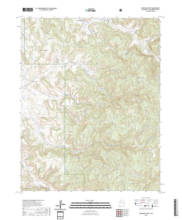 2023 Espinosa Ranch2023 Print · USGSCovers Rio Arriba County, including United States, New Mexico, and other nearby areas
 - 2023 Map of John Mills Lake, 2023 Print
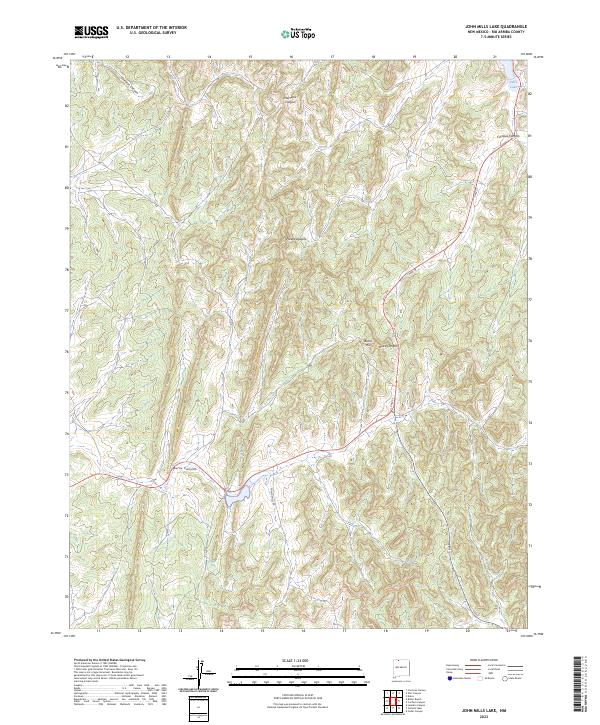 2023 John Mills Lake2023 Print · USGSCovers Rio Arriba County, including United States, New Mexico, and other nearby areas
 - 2023 Map of Schmitz Ranch, 2023 Print
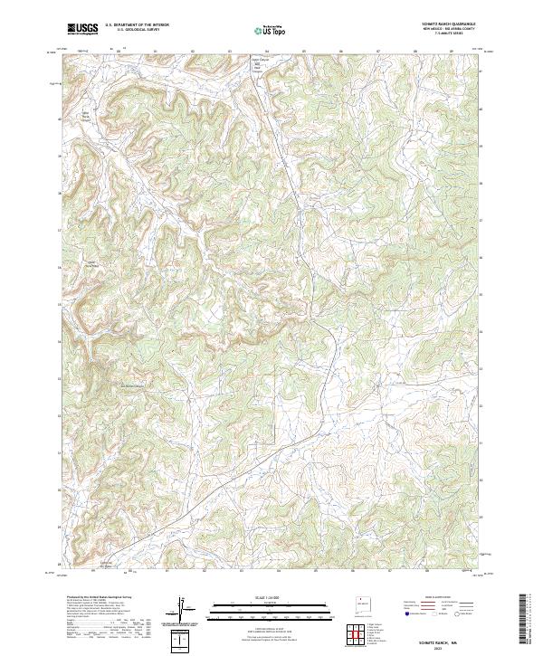 2023 Schmitz Ranch2023 Print · USGSCovers Rio Arriba County, including United States, New Mexico, and other nearby areas
 - 2023 Map of Pinabetoso Peaks, 2023 Print
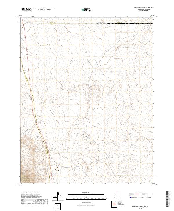 2023 Pinabetoso Peaks2023 Print · USGSCovers Rio Arriba County, including Taos County, Conejos County, and other nearby areas
 - 2023 Map of Tafoya Canyon, 2023 Print
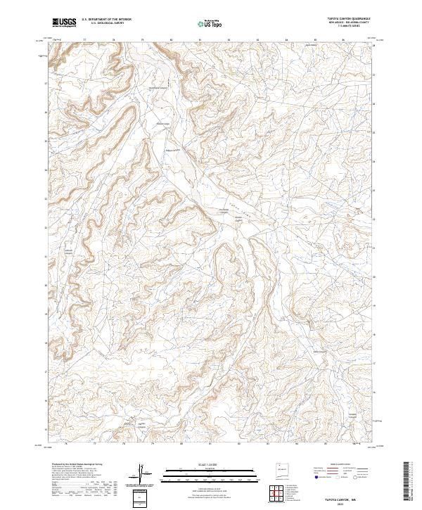 2023 Tafoya Canyon2023 Print · USGSCovers Rio Arriba County, including United States, New Mexico, and other nearby areas
 - 2023 Map of Smouse Mesa, 2023 Print
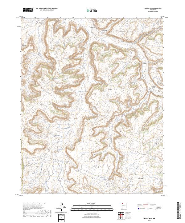 2023 Smouse Mesa2023 Print · USGSCovers Rio Arriba County, including San Juan County, United States, and other nearby areas
 - 2023 Map of San Pablo, 2023 Print
 2023 San Pablo2023 Print · USGSCovers Rio Arriba County, including Campo El Deseo, San Miguel, and other nearby areas
 - 2023 Map of Puye, 2023 Print
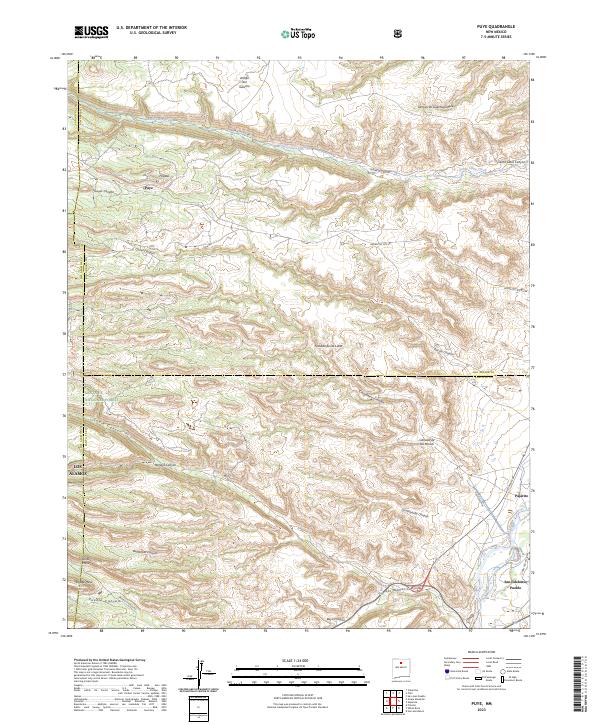 2023 Puye2023 Print · USGSCovers Rio Arriba County, including Los Alamos, Otowi, and other nearby areas
 - 2023 Map of Valle San Antonio, 2023 Print
 2023 Valle San Antonio2023 Print · USGSCovers Rio Arriba County, including Sulphur Springs, Sandoval County, and other nearby areas
Showing maps 1-25 of 124
Top cities of Rio Arriba County
Frequently asked questions
- What are the different types of historical maps available for Rio Arriba County?
- What is the oldest map of Rio Arriba County?
- Where can I purchase historical maps of Rio Arriba County for my home or office?
- Where can I download high-res historical maps of Rio Arriba County?
- Are there historical topographic maps available for Rio Arriba County?
- Is there historical aerial imagery available for Rio Arriba County?
- Where are historical maps of Rio Arriba County sourced from?