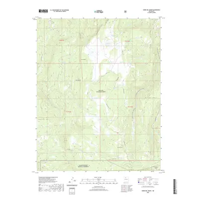
2020 Map of Cerro del Grant
USGS Topo · Published 2020About this map
Cerro Valdez stands as a primary point of interest in this high-altitude landscape within Rio Arriba County, where the terrain is defined by a series of volcanic peaks and expansive mesas. The map documents a complex system of drainage and seasonal water sources, including Rito de las Sillas and Coyote Cr, which feed into various tanks and springs such as Magogo Tank and Madrid Spring. This territory is heavily protected, shared between the Santa Fe National Forest and the Valles Caldera National Preserve, reflecting the era's focus on conservation and public land management. Human presence is marked by primitive routes like 31 Mile Road and the Cerro de la Garita Trail, which navigate the elevation changes between Mesa Lagunas and the prominent Cerro del Grant. The network of springs like Leche Spring and Grant Spring suggests the vital importance of water points for both wildlife and high-country livestock grazing.
Find a feature on this map
48 named features on this map. Tap any name to fly to it.
Don’t see what you’re looking for? This feature index may not catch every label — zoom into the map to look around manually.
Map Details
Editions of this 2020 Cerro del Grant Map
This is the sole edition of this map. No revisions or reprints were ever made.
Other maps of this area

1890 · Jemes
USGS Topo · 1:125,000

1892 · Jemes
USGS Topo · 1:125,000

1892 · Santa Clara
USGS Topo · 1:125,000

1909 · Gallina
USGS Topo · 1:125,000

1918 · Abiquiu
USGS Topo · 1:125,000

1937 · Jemez Springs
USGS Topo · 1:48,000

1944 · Jemez Springs
USGS Topo · 1:62,500

1952 · Valle Toledo
USGS Topo · 1:24,000

1952 · Jemez Springs
USGS Topo · 1:62,500

1953 · Canones
USGS Topo · 1:24,000