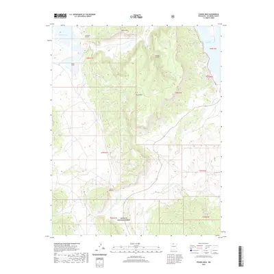
2020 Map of Pounds Mesa
USGS Topo · Published 2020About this map
Apache Mesa and the elevated plateau of Pounds Mesa dominate this high-desert landscape in Northern New Mexico. The terrain is defined by a complex network of seasonal drainages, including the Arroyo del Puerto Chiquito and Arroyo Archuleta, which carve through the sandstone formations typical of the Colorado Plateau's edge. The settlement of Puerto Chiquito sits centrally, serving as a landmark in a region where water and topography dictate the movement of both historic trails and modern forest roads.
Find a feature on this map
22 named features on this map. Tap any name to fly to it.
Don’t see what you’re looking for? This feature index may not catch every label — zoom into the map to look around manually.
Map Details
Editions of this 2020 Pounds Mesa Map
This is the sole edition of this map. No revisions or reprints were ever made.
Other maps of this area

1909 · Gallina
USGS Topo · 1:125,000

1953 · Navajo Peak
USGS Topo · 1:24,000

1954 · Aztec
USGS Topo · 1:250,000

1955 · Llaves
USGS Topo · 1:62,500

1955 · Tierra Amarilla
USGS Topo · 1:62,500

1955 · Boulder Lake
USGS Topo · 1:62,500

1958 · Aztec
USGS Topo · 1:250,000

1962 · Aztec
USGS Topo · 1:250,000

1965 · Aztec
USGS Topo · 1:250,000

1981 · Chama
USGS Topo · 1:100,000