1950s Maps of Rio Arriba County, New Mexico
Explore 62 historic maps of Rio Arriba County from the 1950s. These maps offer a rare glimpse into what life looked like during the 1950s — showing old roads, neighborhoods, homes, and landmarks that have changed or disappeared over time.
Whether you're researching your family's past, planning a metal detecting trip, or studying how Rio Arriba County's landscape evolved across the 1950s, these high-resolution maps are a powerful tool for exploring the history of this region.
- Focus on a specific era: All maps on this page are from the 1950s, giving you a focused view of this time period.
- See what’s changed: Compare century-old streets, trails, and buildings to today's modern landscape using overlays and satellite layers.
- Research with precision: Use these maps for genealogy, historical research, land use analysis, or educational projects.
- View, download, or print: Maps are fully viewable online in high resolution, and can be downloaded or printed for your own records.
Start exploring Rio Arriba County's history through authentic maps from the 1950s. This is your window into the past.
Rio Arriba County, NM maps
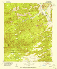
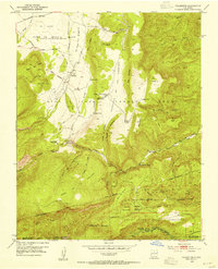
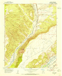
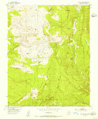
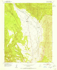
(62)- 1952 Map of Jemez Springs, 1954 Print
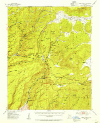 1952 Jemez Springs1954 Print · USGSCovers Rio Arriba County, including Jemez Springs, Seven Springs, and other nearby areas3 unique versions available
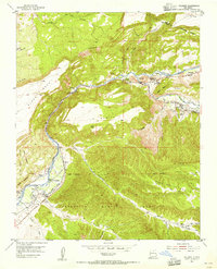
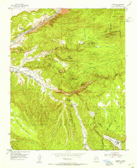
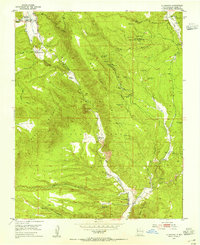
 - 1952 Map of Puye, 1954 Print
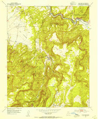
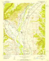
 1952 Puye1954 Print · USGSCovers Rio Arriba County, including Los Alamos, Otowi, and other nearby areas4 unique versions available
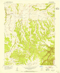
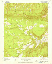
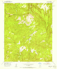
 - 1953 Map of Canones, 1954 Print
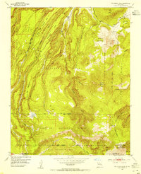
 1953 Canones1954 Print · USGSCovers Rio Arriba County, including Cañones, Lower Cañones, and other nearby areas4 unique versions available
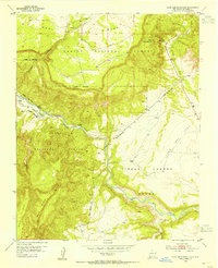
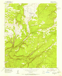
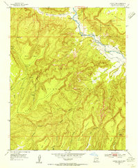
 - 1953 Map of Cerro Del Grant, 1954 Print
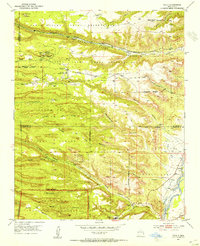
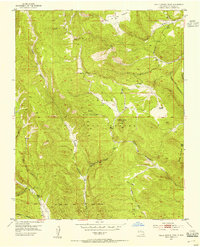
 1953 Cerro Del Grant1954 Print · USGSCovers Rio Arriba County, including Canon del Coyote, Sandoval County, and other nearby areas3 unique versions available
 - 1953 Map of Espanola, 1954 Print
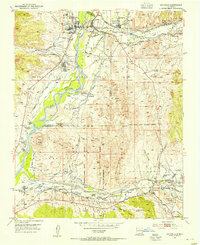 1953 Espanola1954 Print · USGSCovers Rio Arriba County, including Espanola, Española, and other nearby areas3 unique versions available
 - 1953 Map of Chili, 1954 Print
 1953 Chili1954 Print · USGSCovers Rio Arriba County, including Chili, La Cuchilla, and other nearby areas3 unique versions available
 - 1953 Map of Abiquiu, 1954 Print
 1953 Abiquiu1954 Print · USGSCovers Rio Arriba County, including Abiquiu, Barranca, and other nearby areas3 unique versions available
 - 1953 Map of Medanales, 1954 Print
 1953 Medanales1954 Print · USGSCovers Rio Arriba County, including Medanales, Sierra Negra Estates, and other nearby areas3 unique versions available
 - 1953 Map of Vallecitos, 1954 Print
 1953 Vallecitos1954 Print · USGSCovers Rio Arriba County, including Vallecitos, Recheulos, and other nearby areas3 unique versions available
 - 1953 Map of San Juan Pueblo, 1954 Print
 1953 San Juan Pueblo1954 Print · USGSCovers Rio Arriba County, including Espanola, Española, and other nearby areas4 unique versions available
 - 1953 Map of Polvadera Peak, 1954 Print
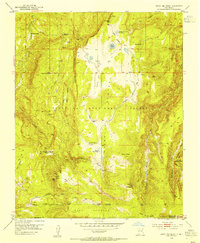
 1953 Polvadera Peak1954 Print · USGSCovers Rio Arriba County, including Sandoval County, United States, and other nearby areas3 unique versions available
 - 1953 Map of Valle Grande Peak, 1954 Print
 1953 Valle Grande Peak1954 Print · USGSCovers Rio Arriba County, including United States, New Mexico, and other nearby areas3 unique versions available
 - 1953 Map of Lyden, 1954 Print
 1953 Lyden1954 Print · USGSCovers Rio Arriba County, including Lyden, United States, and other nearby areas2 unique versions available
 - 1953 Map of Truchas, 1955 Print
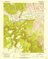
 1953 Truchas1955 Print · USGSCovers Rio Arriba County, including Truchas, Ojo Sarco, and other nearby areas4 unique versions available
 - 1953 Map of Velarde, 1955 Print
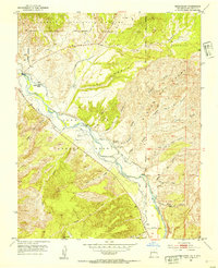
 1953 Velarde1955 Print · USGSCovers Rio Arriba County, including Dixon, La Cienaga, and other nearby areas2 unique versions available
 - 1953 Map of Alire, 1955 Print
 1953 Alire1955 Print · USGSCovers Rio Arriba County, including Alire, United States, and other nearby areas4 unique versions available
 - 1953 Map of Echo Ampitheater, 1955 Print
 1953 Echo Ampitheater1955 Print · USGSCovers Rio Arriba County, including United States, New Mexico, and other nearby areas3 unique versions available
 - 1953 Map of Magote Peak, 1955 Print
 1953 Magote Peak1955 Print · USGSCovers Rio Arriba County, including United States, New Mexico, and other nearby areas5 unique versions available
 - 1953 Map of Trampas, 1955 Print
 1953 Trampas1955 Print · USGSCovers Rio Arriba County, including Apodaca, Rinconada, and other nearby areas3 unique versions available
 - 1953 Map of Arroyo Del Agua, 1955 Print
 1953 Arroyo Del Agua1955 Print · USGSCovers Rio Arriba County, including Arroyo del Agua, Santa Teresa, and other nearby areas4 unique versions available
 - 1953 Map of Canjilon, 1955 Print
 1953 Canjilon1955 Print · USGSCovers Rio Arriba County, including Canjilon, Placitas, and other nearby areas4 unique versions available
 - 1953 Map of El Rito, 1955 Print
 1953 El Rito1955 Print · USGSCovers Rio Arriba County, including Las Placitas, El Rito, and other nearby areas2 unique versions available
 - 1953 Map of La Madera, 1955 Print
 1953 La Madera1955 Print · USGSCovers Rio Arriba County, including Vallecitos, Rancho de Trujillo, and other nearby areas3 unique versions available
 - 1953 Map of Jarosa, 1955 Print
 1953 Jarosa1955 Print · USGSCovers Rio Arriba County, including Jarosa, United States, and other nearby areas3 unique versions available
 - 1953 Map of Laguna Peak, 1955 Print
 1953 Laguna Peak1955 Print · USGSCovers Rio Arriba County, including United States, New Mexico, and other nearby areas5 unique versions available
Showing maps 1-25 of 62
Top cities of Rio Arriba County
Frequently asked questions
- What are the different types of historical maps available for Rio Arriba County?
- What is the oldest map of Rio Arriba County?
- Where can I purchase historical maps of Rio Arriba County for my home or office?
- Where can I download high-res historical maps of Rio Arriba County?
- Are there historical topographic maps available for Rio Arriba County?
- Is there historical aerial imagery available for Rio Arriba County?
- Where are historical maps of Rio Arriba County sourced from?