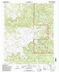
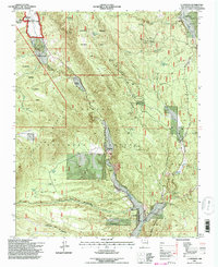
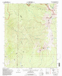
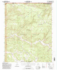
1990s Maps of Rio Arriba County, New Mexico
Explore 50 historic maps of Rio Arriba County from the 1990s. These maps offer a rare glimpse into what life looked like during the 1990s — showing old roads, neighborhoods, homes, and landmarks that have changed or disappeared over time.
Whether you're researching your family's past, planning a metal detecting trip, or studying how Rio Arriba County's landscape evolved across the 1990s, these high-resolution maps are a powerful tool for exploring the history of this region.
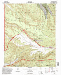
- Focus on a specific era: All maps on this page are from the 1990s, giving you a focused view of this time period.
- See what’s changed: Compare century-old streets, trails, and buildings to today's modern landscape using overlays and satellite layers.
- Research with precision: Use these maps for genealogy, historical research, land use analysis, or educational projects.
- View, download, or print: Maps are fully viewable online in high resolution, and can be downloaded or printed for your own records.
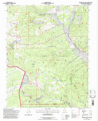
Start exploring Rio Arriba County's history through authentic maps from the 1990s. This is your window into the past.
Rio Arriba County, NM maps
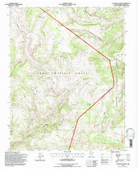
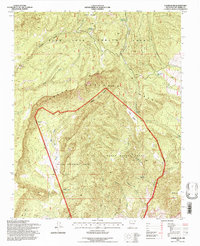
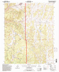
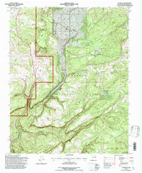
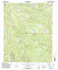
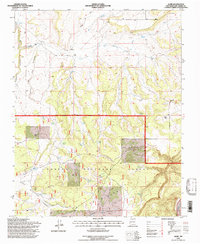
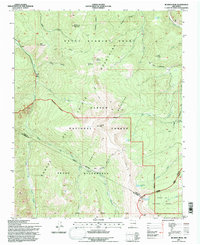
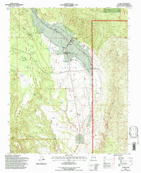
(50)- 1994 Map of Chimayo, 1998 Print
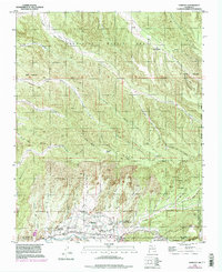 1994 Chimayo1998 Print · USGSCovers Rio Arriba County, including Chimayo, El Rincon de los Trujillos, and other nearby areas
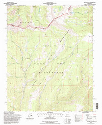
 - 1995 Map of Lagunitas Creek, 1997 Print
 1995 Lagunitas Creek1997 Print · USGSCovers Rio Arriba County, including United States, New Mexico, and other nearby areas
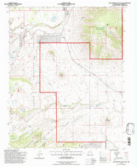
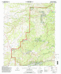
 - 1995 Map of Canjilon SE, 1997 Print
 1995 Canjilon SE1997 Print · USGSCovers Rio Arriba County, including United States, New Mexico, and other nearby areas
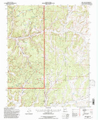
 - 1995 Map of El Valle, 1997 Print
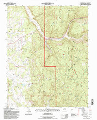
 1995 El Valle1997 Print · USGSCovers Rio Arriba County, including El Valle, Santa Fe County, and other nearby areas
 - 1995 Map of Leandro Canyon, 1997 Print
 1995 Leandro Canyon1997 Print · USGSCovers Rio Arriba County, including United States, New Mexico, and other nearby areas
 - 1995 Map of Canjilon, 1997 Print
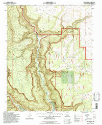
 1995 Canjilon1997 Print · USGSCovers Rio Arriba County, including Canjilon, Placitas, and other nearby areas
 - 1995 Map of Vigas Canyon, 1997 Print
 1995 Vigas Canyon1997 Print · USGSCovers Rio Arriba County, including United States, New Mexico, and other nearby areas
 - 1995 Map of La Madera, 1997 Print
 1995 La Madera1997 Print · USGSCovers Rio Arriba County, including Vallecitos, Rancho de Trujillo, and other nearby areas
 - 1995 Map of Truchas Peak, 1997 Print
 1995 Truchas Peak1997 Print · USGSCovers Rio Arriba County, including Santa Fe County, Mora County, and other nearby areas
 - 1995 Map of Valle Grande Peak, 1997 Print
 1995 Valle Grande Peak1997 Print · USGSCovers Rio Arriba County, including United States, New Mexico, and other nearby areas
 - 1995 Map of Navajo Peak, 1997 Print
 1995 Navajo Peak1997 Print · USGSCovers Rio Arriba County, including United States, New Mexico, and other nearby areas
 - 1995 Map of Espinosa Ranch, 1997 Print
 1995 Espinosa Ranch1997 Print · USGSCovers Rio Arriba County, including United States, New Mexico, and other nearby areas
 - 1995 Map of Bixler Ranch, 1997 Print
 1995 Bixler Ranch1997 Print · USGSCovers Rio Arriba County, including United States, New Mexico, and other nearby areas
 - 1995 Map of Alire, 1997 Print
 1995 Alire1997 Print · USGSCovers Rio Arriba County, including Alire, United States, and other nearby areas
 - 1995 Map of San Antonio Mountain, 1997 Print
 1995 San Antonio Mountain1997 Print · USGSCovers Rio Arriba County, including United States, New Mexico, and other nearby areas
 - 1995 Map of Gobernador, 1997 Print
 1995 Gobernador1997 Print · USGSCovers Rio Arriba County, including United States, New Mexico, and other nearby areas
 - 1995 Map of Las Tablas, 1997 Print
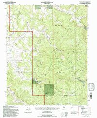
 1995 Las Tablas1997 Print · USGSCovers Rio Arriba County, including Las Tablas, Petaca, and other nearby areas
 - 1995 Map of Jicarita Peak, 1997 Print
 1995 Jicarita Peak1997 Print · USGSCovers Rio Arriba County, including Taos County, Mora County, and other nearby areas
 - 1995 Map of Pecos Falls, 1997 Print
 1995 Pecos Falls1997 Print · USGSCovers Rio Arriba County, including Mora County, United States, and other nearby areas
 - 1995 Map of Cebolla, 1997 Print
 1995 Cebolla1997 Print · USGSCovers Rio Arriba County, including Cebolla, United States, and other nearby areas
 - 1995 Map of Pine Lake, 1997 Print
 1995 Pine Lake1997 Print · USGSCovers Rio Arriba County, including United States, New Mexico, and other nearby areas
 - 1995 Map of El Rito, 1997 Print
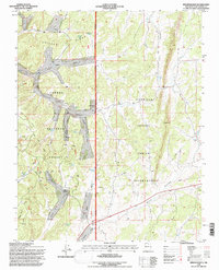
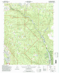
 1995 El Rito1997 Print · USGSCovers Rio Arriba County, including Las Placitas, El Rito, and other nearby areas
 - 1995 Map of Bancos Mesa, 1997 Print
 1995 Bancos Mesa1997 Print · USGSCovers Rio Arriba County, including United States, New Mexico, and other nearby areas
 - 1995 Map of Truchas, 1997 Print
 1995 Truchas1997 Print · USGSCovers Rio Arriba County, including Truchas, Ojo Sarco, and other nearby areas
 - 1995 Map of Burned Mountain, 1997 Print
 1995 Burned Mountain1997 Print · USGSCovers Rio Arriba County, including United States, New Mexico, and other nearby areas
Showing maps 1-25 of 50
Top cities of Rio Arriba County
Frequently asked questions
- What are the different types of historical maps available for Rio Arriba County?
- What is the oldest map of Rio Arriba County?
- Where can I purchase historical maps of Rio Arriba County for my home or office?
- Where can I download high-res historical maps of Rio Arriba County?
- Are there historical topographic maps available for Rio Arriba County?
- Is there historical aerial imagery available for Rio Arriba County?
- Where are historical maps of Rio Arriba County sourced from?