2000s (21st Century) Maps of Rio Arriba County, New Mexico
Explore 149 historic maps of Rio Arriba County from the 2000s (21st Century). These maps offer a rare glimpse into what life looked like during the 2000s — showing old roads, neighborhoods, homes, and landmarks that have changed or disappeared over time.
Whether you're researching your family's past, planning a metal detecting trip, or studying how Rio Arriba County's landscape evolved across the 2000s, these high-resolution maps are a powerful tool for exploring the history of this region.
- Focus on a specific era: All maps on this page are from the 2000s, giving you a focused view of this time period.
- See what’s changed: Compare century-old streets, trails, and buildings to today's modern landscape using overlays and satellite layers.
- Research with precision: Use these maps for genealogy, historical research, land use analysis, or educational projects.
- View, download, or print: Maps are fully viewable online in high resolution, and can be downloaded or printed for your own records.
Start exploring Rio Arriba County's history through authentic maps from the 2000s. This is your window into the past.
Rio Arriba County, NM maps
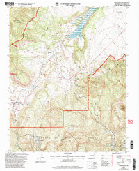
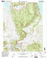
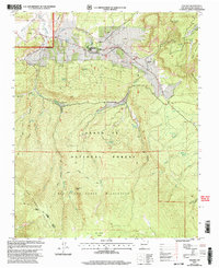
(149)- 2002 Map of Canada Ojitos, 2003 Print
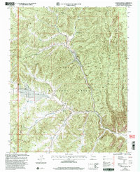 2002 Canada Ojitos2003 Print · USGSCovers Rio Arriba County, including United States, New Mexico, and other nearby areas
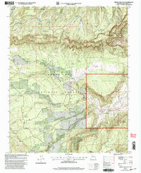
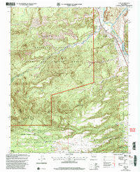
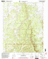
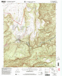
 - 2002 Map of San Juan Pueblo, 2003 Print
 2002 San Juan Pueblo2003 Print · USGSCovers Rio Arriba County, including Espanola, Española, and other nearby areas
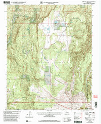
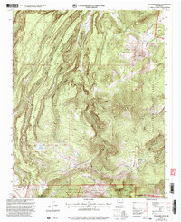
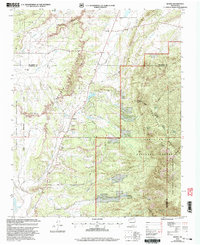
 - 2002 Map of Arroyo Del Agua, 2003 Print
 2002 Arroyo Del Agua2003 Print · USGSCovers Rio Arriba County, including Arroyo del Agua, Santa Teresa, and other nearby areas
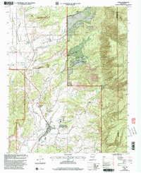
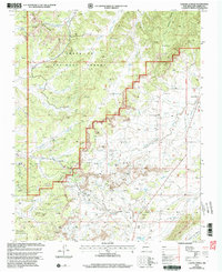
 - 2002 Map of Cerro Del Grant, 2003 Print
 2002 Cerro Del Grant2003 Print · USGSCovers Rio Arriba County, including Canon del Coyote, Sandoval County, and other nearby areas
 - 2002 Map of Nacimiento Peak, 2003 Print
 2002 Nacimiento Peak2003 Print · USGSCovers Rio Arriba County, including American Park, United States, and other nearby areas
 - 2002 Map of French Mesa, 2003 Print
 2002 French Mesa2003 Print · USGSCovers Rio Arriba County, including Llaves, United States, and other nearby areas
 - 2002 Map of Cuba, 2003 Print
 2002 Cuba2003 Print · USGSCovers Rio Arriba County, including Cuba, Garrison, and other nearby areas
 - 2002 Map of El Vado, 2003 Print
 2002 El Vado2003 Print · USGSCovers Rio Arriba County, including Wright Place, El Vado, and other nearby areas
 - 2002 Map of Espanola, 2003 Print
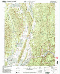
 2002 Espanola2003 Print · USGSCovers Rio Arriba County, including Espanola, Española, and other nearby areas
 - 2002 Map of Youngsville, 2003 Print
 2002 Youngsville2003 Print · USGSCovers Rio Arriba County, including Rio Puerco, Coyote, and other nearby areas
 - 2002 Map of Chili, 2003 Print
 2002 Chili2003 Print · USGSCovers Rio Arriba County, including Chili, La Cuchilla, and other nearby areas
 - 2002 Map of Polvadera Peak, 2003 Print
 2002 Polvadera Peak2003 Print · USGSCovers Rio Arriba County, including Sandoval County, United States, and other nearby areas
 - 2002 Map of Llaves, 2003 Print
 2002 Llaves2003 Print · USGSCovers Rio Arriba County, including United States, New Mexico, and other nearby areas
 - 2002 Map of San Pablo, 2003 Print
 2002 San Pablo2003 Print · USGSCovers Rio Arriba County, including San Miguel, Campo El Deseo, and other nearby areas
 - 2002 Map of Jarosa, 2003 Print
 2002 Jarosa2003 Print · USGSCovers Rio Arriba County, including Jarosa, United States, and other nearby areas
 - 2002 Map of Pounds Mesa, 2003 Print
 2002 Pounds Mesa2003 Print · USGSCovers Rio Arriba County, including United States, New Mexico, and other nearby areas
 - 2002 Map of Puye, 2003 Print
 2002 Puye2003 Print · USGSCovers Rio Arriba County, including Los Alamos, Otowi, and other nearby areas
 - 2002 Map of Los Indios Canyon, 2003 Print
 2002 Los Indios Canyon2003 Print · USGSCovers Rio Arriba County, including United States, New Mexico, and other nearby areas
 - 2002 Map of Rancho Del Chaparral, 2003 Print
 2002 Rancho Del Chaparral2003 Print · USGSCovers Rio Arriba County, including Deer Lake, Sandoval County, and other nearby areas
 - 2002 Map of Regina, 2003 Print
 2002 Regina2003 Print · USGSCovers Rio Arriba County, including Regina, Sandoval County, and other nearby areas
 - 2002 Map of Valle San Antonio, 2003 Print
 2002 Valle San Antonio2003 Print · USGSCovers Rio Arriba County, including Sulphur Springs, Sandoval County, and other nearby areas
 - 2002 Map of Laguna Gurule, 2003 Print
 2002 Laguna Gurule2003 Print · USGSCovers Rio Arriba County, including United States, New Mexico, and other nearby areas
 - 2002 Map of Gallina, 2003 Print
 2002 Gallina2003 Print · USGSCovers Rio Arriba County, including Capulin, Gallina Plaza, and other nearby areas
 - 2002 Map of Vallecitos, 2003 Print
 2002 Vallecitos2003 Print · USGSCovers Rio Arriba County, including San Lorenzo, Recheulos, and other nearby areas
 - 2002 Map of Seven Springs, 2003 Print
 2002 Seven Springs2003 Print · USGSCovers Rio Arriba County, including Seven Springs, Sandoval County, and other nearby areas
Showing maps 1-25 of 149
Top cities of Rio Arriba County
Frequently asked questions
- What are the different types of historical maps available for Rio Arriba County?
- What is the oldest map of Rio Arriba County?
- Where can I purchase historical maps of Rio Arriba County for my home or office?
- Where can I download high-res historical maps of Rio Arriba County?
- Are there historical topographic maps available for Rio Arriba County?
- Is there historical aerial imagery available for Rio Arriba County?
- Where are historical maps of Rio Arriba County sourced from?