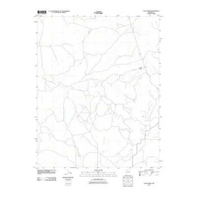
2010 Map of Las Nutrias
USGS Topo · Published 2010About this map
Las Nutrias and the small settlement of Duran anchor this northern New Mexico landscape, where the high desert is carved by seasonal drainages and permanent watercourses. The drainage of the Rio Nutrias and Rio Cebolla dictates the local geography, providing vital water sources in an arid region. The network of canyons, known locally as cañadas, includes Cañada de la Lagunita and Cañada de Humo, which create a complex system of natural valleys across the terrain. A sparse network of county routes, such as County Rd-314 and Co Road 317, provides the primary access between these scattered homesteads and the larger region, reflecting the enduring rural character and ranching traditions of Rio Arriba County.
Find a feature on this map
12 named features on this map. Tap any name to fly to it.
Don’t see what you’re looking for? This feature index may not catch every label — zoom into the map to look around manually.
Map Details
Editions of this 2010 Las Nutrias Map
This is the sole edition of this map. No revisions or reprints were ever made.
Other maps of this area

1909 · Gallina
USGS Topo · 1:125,000

1918 · Abiquiu
USGS Topo · 1:125,000

1918 · Tusas
USGS Topo · 1:125,000

1953 · Alire
USGS Topo · 1:24,000

1953 · Canjilon
USGS Topo · 1:24,000

1953 · Navajo Peak
USGS Topo · 1:24,000

1954 · Aztec
USGS Topo · 1:250,000

1955 · Cebolla
USGS Topo · 1:62,500

1955 · Tierra Amarilla
USGS Topo · 1:62,500

1958 · Aztec
USGS Topo · 1:250,000