2000-2009 Maps of Santa Fe County, New Mexico
Explore 22 historic maps of Santa Fe County from 2000-2009. These maps offer a rare glimpse into what life looked like during the 2000s — showing old roads, neighborhoods, homes, and landmarks that have changed or disappeared over time.
Whether you're researching your family's past, planning a metal detecting trip, or studying how Santa Fe County's landscape evolved across the 2000s, these high-resolution maps are a powerful tool for exploring the history of this region.
- Focus on a specific era: All maps on this page are from the 2000s, giving you a focused view of this time period.
- See what’s changed: Compare century-old streets, trails, and buildings to today's modern landscape using overlays and satellite layers.
- Research with precision: Use these maps for genealogy, historical research, land use analysis, or educational projects.
- View, download, or print: Maps are fully viewable online in high resolution, and can be downloaded or printed for your own records.
Start exploring Santa Fe County's history through authentic maps from the 2000s. This is your window into the past.
Santa Fe County, NM maps
(22)- 2002 Map of San Juan Pueblo, 2003 Print
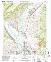 2002 San Juan Pueblo2003 Print · USGSThe confluence of the Rio Grande and Rio Chama at the start of the twenty-first century reveals a landscape shaped by centuries of Spanish and Puebloan history. Researchers can locate the Old San Juan First Spanish Capitol 1598 and explore the irrigation networks of Alcalde and San Juan Pueblo.
 - 2002 Map of Santa Fe, 2003 Print
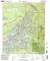 2002 Santa Fe2003 Print · USGSSanta Fe at the turn of the twenty-first century shows a city shaped by its high-desert topography and civic importance. Researchers can trace the layout of the State Capital and institutional sites like the Santa Fe National Cemetery or the Museum of International Folk Art.
 - 2002 Map of Glorieta, 2003 Print
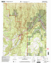 2002 Glorieta2003 Print · USGSSanta Fe County at the turn of the millennium shows the enduring legacy of the high mountain passes and historic land grants. Genealogists and historians can trace family land at Garcia Ranch and Romero Ranch or locate the landmark Nuestra Senora de La Luz Church.
 - 2002 Map of Pecos, 2003 Print
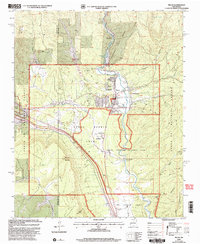 2002 Pecos2003 Print · USGSUpper New Mexico at the dawn of the millennium shows a landscape defined by monastic peace and ancient ruins. Genealogists and historians can trace family locations from La Cueva to East Pecos, or locate the Terrero Mill (Site) and Cem.2 unique versions available
 - 2002 Map of Horcado Ranch, 2003 Print
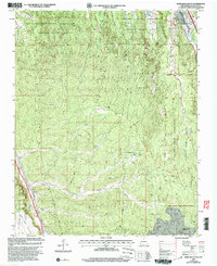 2002 Horcado Ranch2003 Print · USGSTraditional Pueblo land grants and rugged high-desert terrain dominate this Santa Fe area at the start of the millennium. Researchers can trace intricate reservation boundaries and remote landmarks like Horcado Ranch, the Norton Substation, and Las Dos.
 - 2002 Map of Bull Canyon, 2003 Print
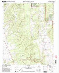 2002 Bull Canyon2003 Print · USGSSanta Fe County land grants and high desert ranching are preserved here at the turn of the millennium. Researchers can trace historic boundaries like the Bishop John Lamy Grant and locate local landmarks such as San Miguelito Cem and Ojo de la Vaca.
 - 2002 Map of Espanola, 2003 Print
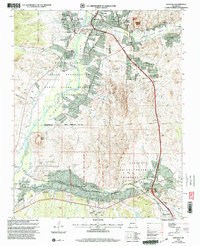 2002 Espanola2003 Print · USGSNorthern New Mexico's Tewa pueblos and Spanish land grants are mapped here at the start of the millennium. Genealogists can locate family landmarks like the Iglesia de San Antonio de Padua, Santa Clara Pueblo, and the Capilla de Santo Niño de Atocha.
 - 2002 Map of Rosilla Peak, 2003 Print
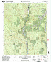 2002 Rosilla Peak2003 Print · USGSThe Pecos River valley north of Pecos reveals its secluded ranching and forest history at the dawn of the millennium. Researchers can trace family-named landmarks like Martin Ranch and Brush Ranch, or locate the historic El Macho (Site) and Terrero settlement.
 - 2002 Map of Tesuque, 2003 Print
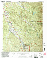 2002 Tesuque2003 Print · USGSTraditional Pueblo lands and historic Spanish grants meet in this northern New Mexico region at the turn of the millennium. Researchers can trace community landmarks like San Diego Ch, the Tesuque Pueblo Day School, and the iconic Camel Rock.
 - 2002 Map of Tetilla Peak, 2003 Print
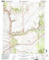 2002 Tetilla Peak2003 Print · USGSThe high basaltic mesas and canyon descents south of Santa Fe come into focus at the start of the millennium. Local historians and geologists can trace the steep paths at La Bajada, historic land boundaries like the La Majada Grant, and volcanic landmarks including Tetilla Peak.
 - 2002 Map of Turquoise Hill, 2003 Print
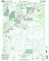 2002 Turquoise Hill2003 Print · USGSSanta Fe's southern outskirts show a mix of historical preservation and modern expansion at the turn of the millennium. Researchers can locate the Marshal Bonanza Mine, the El Rancho de las Golondrinas Museum, and the Institute of American Indian Arts.
 - 2002 Map of White Rock, 2003 Print
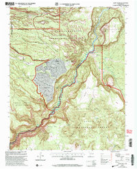 2002 White Rock2003 Print · USGSNorthern New Mexico at the start of the millennium reveals a fascinating intersection of laboratory science, tribal lands, and suburban expansion. Trace the boundaries of the Los Alamos National Laboratory as it neighbors White Rock and the San Ildefonso Indian Reservation.
 - 2002 Map of Aspen Basin, 2003 Print
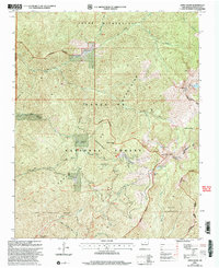 2002 Aspen Basin2003 Print · USGSSanta Fe's high peaks and wilderness boundaries are frozen in time just after the millennium. Hikers and historians can trace high-altitude routes like the Windsor Trail and find landmarks like Aspen Ranch (Aband) and Rancho Viejo.
 - 2002 Map of Mc Clure Reservoir, 2003 Print
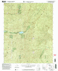 2002 Mc Clure Reservoir2003 Print · USGSSanta Fe's high-altitude watershed and surrounding forest are meticulously documented in this turn-of-the-millennium survey. Researchers can locate the footprint of Evergreen Lodge or trace the boundaries of the Juan De Gabaldon Grant and the restricted McClure Reservoir.
 - 2002 Map of Rowe, 2003 Print
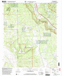 2002 Rowe2003 Print · USGSSan Miguel County at the start of the millennium retains its deep western roots, anchored by the river and the rail. Researchers can trace the path of the Historic Santa Fe Trail or locate family sites like Rowe Cem and Archuleta Ranch.
 - 2002 Map of Puye, 2003 Print
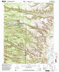 2002 Puye2003 Print · USGSNew Mexico's high plateaus and ancestral lands are shown in great detail during the early 2000s as the modern lab facilities expanded. Researchers can trace the proximity of Los Alamos National Laboratory to sacred sites like the Puya Cliff Dwellings and the San Ildefonso Pueblo Grant.
 - 2002 Map of Cowles, 2003 Print
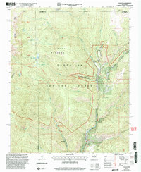 2002 Cowles2003 Print · USGSHigh in the mountains of San Miguel County just after the millennium, this area shows a unique mix of remote wilderness and seasonal mountain retreats. You can trace the path of the Pecos River, locate the historic Tererro Mine, and find secluded spots like the Winsor Creek Summer Home Area.
 - 2002 Map of Seton Village, 2003 Print
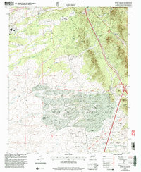 2002 Seton Village2003 Print · USGSSoutheast of Santa Fe at the turn of the millennium, this area shows a landscape defined by historic land grants and growing residential pockets. Researchers can trace the legacy of the Santa Fe Trail and the AT & SF RR alongside settlements like Seton Village and Eldorado.
 - 2002 Map of Rencona, 2003 Print
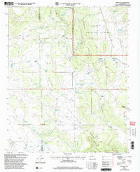 2002 Rencona2003 Print · USGSRanching life and forest management define this corner of San Miguel County at the start of the twenty-first century. Genealogists and local historians can trace legacy holdings like Witte Ranch, Padilla Ranch, and the Douthit Place among the draws and canyons.
 - 2002 Map of Montoso Peak, 2003 Print
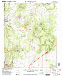 2002 Montoso Peak2003 Print · USGSThe high plateau and volcanic peaks of north-central New Mexico are shown here as they appeared at the start of the millennium. Researchers can trace the overlapping boundaries of the Cochiti Indian Reservation and the historic Caja Del Rio Grant.
 - 2002 Map of Agua Fria, 2003 Print
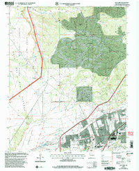 2002 Agua Fria2003 Print · USGSSanta Fe and its western ranchlands are shown during a period of modern expansion at the turn of the millennium. Researchers can trace the heritage of Agua Fria (Historic) near the San Isidro Cem and the Caja Del Rio Grant.
 - 2002 Map of Sierra Mosca, 2003 Print
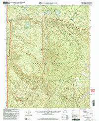 2002 Sierra Mosca2003 Print · USGSHigh-country terrain in the Sangre de Cristo range appears in great detail just after the turn of the millennium, documenting the rugged boundary of the Pecos Wilderness. Researchers can trace the limits of the Santo Domingo de Cundiyo Grant and locate secluded landmarks like Cienega Redondo and Cañon Chimayo.
End of results
Showing maps 1-22 of 22
Top cities of Santa Fe County
- Santa Fe historical maps
- Edgewood historical maps
- Santa Cruz historical maps
- Madrid historical maps
- Lamy historical maps
Frequently asked questions
- What are the different types of historical maps available for Santa Fe County?
- What is the oldest map of Santa Fe County?
- Where can I purchase historical maps of Santa Fe County for my home or office?
- Where can I download high-res historical maps of Santa Fe County?
- Are there historical topographic maps available for Santa Fe County?
- Is there historical aerial imagery available for Santa Fe County?
- Where are historical maps of Santa Fe County sourced from?