2010s Maps of Santa Fe County, New Mexico
Explore 132 historic maps of Santa Fe County from the 2010s. These maps offer a rare glimpse into what life looked like during the 2010s — showing old roads, neighborhoods, homes, and landmarks that have changed or disappeared over time.
Whether you're researching your family's past, planning a metal detecting trip, or studying how Santa Fe County's landscape evolved across the 2010s, these high-resolution maps are a powerful tool for exploring the history of this region.
- Focus on a specific era: All maps on this page are from the 2010s, giving you a focused view of this time period.
- See what’s changed: Compare century-old streets, trails, and buildings to today's modern landscape using overlays and satellite layers.
- Research with precision: Use these maps for genealogy, historical research, land use analysis, or educational projects.
- View, download, or print: Maps are fully viewable online in high resolution, and can be downloaded or printed for your own records.
Start exploring Santa Fe County's history through authentic maps from the 2010s. This is your window into the past.
Santa Fe County, NM maps
(132)- 2010 Map of Mesa El Toro, 2010 Print
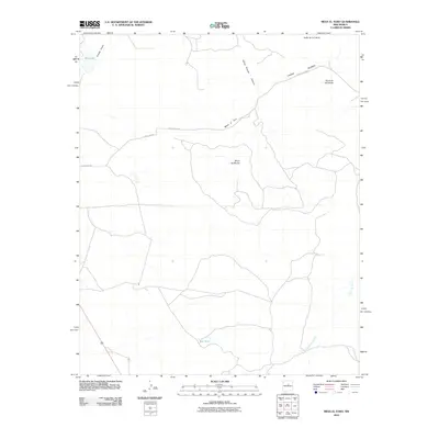 2010 Mesa El Toro2010 Print · USGSHigh-desert mesas and deep canyons define this Santa Fe County landscape during the early twenty-first century. Genealogists and land researchers can trace regional access via County Rd-B31A and locate landmarks like Mesa el Toro and Big Lake.
 - 2010 Map of King Draw, 2010 Print
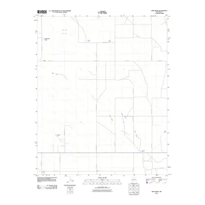 2010 King Draw2010 Print · USGSSanta Fe County ranching life is well-documented in the years following the millennium, showing a landscape of family-named outposts and rural roads. Genealogists and local historians can trace the locations of the King Bros Ranch, P Simmons Place, and Irby Ranch.
 - 2010 Map of Captain Davis Mountain, 2010 Print
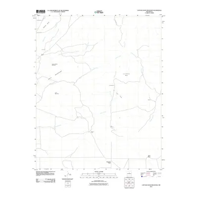 2010 Captain Davis Mountain2010 Print · USGSSanta Fe County’s high desert is mapped here in the early twenty-first century, showing a landscape shaped by mining and ranching. Genealogists and local historians can locate family-named sites like Dennison Place or trace the routes of Goldmine Rd and the Dolores Mine.
 - 2010 Map of Moriarty North, 2010 Print
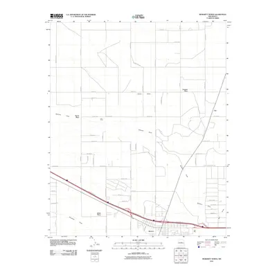 2010 Moriarty North2010 Print · USGSThe Estancia Valley at the start of the new millennium shows a landscape of growing rural homesteads and legacy ranches. Genealogists can trace family-named sites like Johns Place and Martin Place or follow the path of Bachelor Draw toward Otto.
 - 2010 Map of Edgewood, 2010 Print
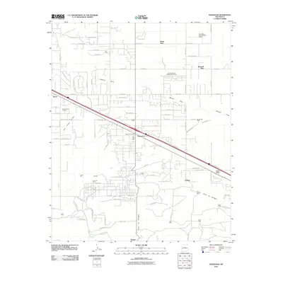 2010 Edgewood2010 Print · USGSEdgewood and its surroundings in the early twenty-first century reveal a landscape of expanding rural settlements and legacy ranchlands. Researchers can locate family landmarks such as Lyod Ranch, Hale Ranch, and Gallegos, or trace mineral sites like the Tina Barite Deposit.
 - 2010 Map of Madrid, 2010 Print
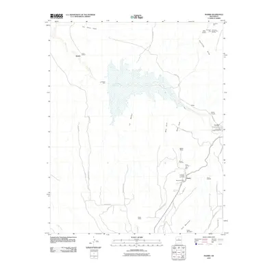 2010 Madrid2010 Print · USGSMadrid and Cerrillos are captured here during the early 21st century, revealing the enduring layout of these historic mining and railroad settlements. Researchers can trace local genealogy and industry through labels for the Madrid Cemetery, Evelyn Coal Mine, and the Cerrillos Post Office.
 - 2010 Map of Galisteo, 2010 Print
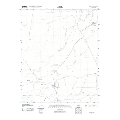 2010 Galisteo2010 Print · USGSThe high desert of Santa Fe County is captured here in the early twenty-first century, showing a landscape defined by ranching and ancient history. Genealogists and historians can trace family locations from Lamy Cemetery to Ranchitos De Galisteo and the Old Railroad Bed.
 - 2010 Map of White Lakes, 2010 Print
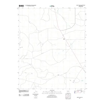 2010 White Lakes2010 Print · USGSSanta Fe County's ranching country is captured here in the early 2000s, showcasing a landscape of high-desert draws and isolated homesteads. Researchers can locate the expansive Hagerman Ranch and Snow Ranch or trace drainage patterns along Arroyo Jara and White Lakes.
 - 2010 Map of Stanley, 2010 Print
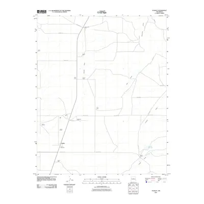 2010 Stanley2010 Print · USGSThe ranching country of Santa Fe County is documented here in the early 21st century, showing the enduring layout of rural New Mexico settlements. Genealogists and historians can trace family properties like Mitchell Ranch and Watson Ranch alongside landmarks like the Stanley Cemetery.
 - 2010 Map of Clines Corners, 2010 Print
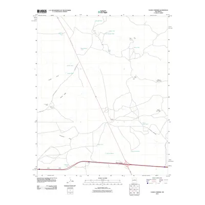 2010 Clines Corners2010 Print · USGSClines Corners and the surrounding high-desert ranchlands appear here in the early twenty-first century as a critical crossroads for travelers and livestock. Genealogists and local historians can locate legacy family holdings such as Tapia Ranch, the Tapia Cemetery, and Los Norias.
 - 2010 Map of Longhorn Reservoir, 2010 Print
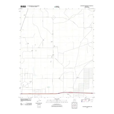 2010 Longhorn Reservoir2010 Print · USGSSanta Fe County ranchlands and early residential subdivisions come into focus in this recent survey. Genealogists and historians can trace traditional family holdings like Healy Ranch and Erramousbe Ranch alongside the waters of Longhorn Reservoir.
 - 2010 Map of Ojo Hedionda, 2010 Print
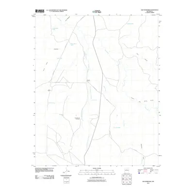 2010 Ojo Hedionda2010 Print · USGSSanta Fe County’s ranching heartland is documented here in the early twenty-first century, showing the enduring cattle-country infrastructure of the New Mexico high desert. Genealogists and historians can trace family-named sites like Anaya Ranch and rural settlements such as Puertacito de los Salado.
 - 2010 Map of Wildhorse Mesa, 2010 Print
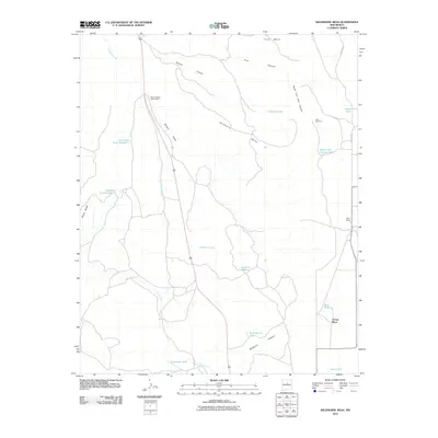 2010 Wildhorse Mesa2010 Print · USGSSanta Fe County's high-desert ranching country is captured here during the first decade of the millennium. Local history researchers can trace the placement of remote outposts like Young Place and Dyer Ranch alongside essential water sources such as King Tank and the Little Windmill.
 - 2010 Map of El Cuervo Butte, 2010 Print
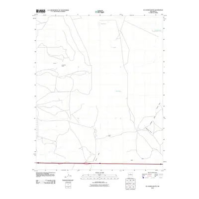 2010 El Cuervo Butte2010 Print · USGSTorrance County ranching lands and high-desert terrain are mapped here in the early twenty-first century. Researchers can trace land use through stock tanks like Dinosaur Tank and family-named landmarks such as Chavez Ranch and El Cuervo Butte.
 - 2010 Map of Golden, 2010 Print
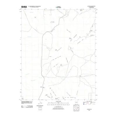 2010 Golden2010 Print · USGSGolden and the northern slopes of the San Pedro Mountains are captured here in the early twenty-first century. Genealogists and historians can trace old mining claims and remote outposts like the Gypsy Queen Mine, Golden Placer, and Dolores Ranch.
 - 2010 Map of Turquoise Hill, 2010 Print
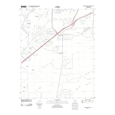 2010 Turquoise Hill2010 Print · USGSSanta Fe County south of the city is captured here in the early twenty-first century, showing a mix of institutional land use and historic watercourses. Local historians and genealogists can trace the Marshal Bonanza Mine, the New Mexico State Penitentiary, and settlements like La Cienega.
 - 2010 Map of Espanola, 2010 Print
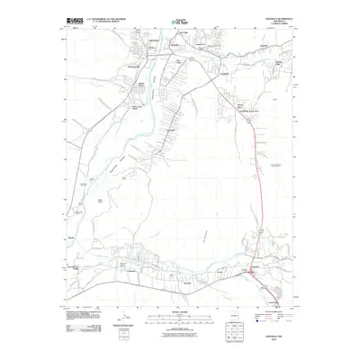 2010 Espanola2010 Print · USGSThe Rio Grande valley in Northern New Mexico showcases a dense network of traditional irrigation and ancestral lands. Genealogists and local historians can trace family roots through Santa Clara Pueblo, the Santa Cruz Cemetery, and ranching sites like Evans Ranch.
 - 2010 Map of San Pedro, 2010 Print
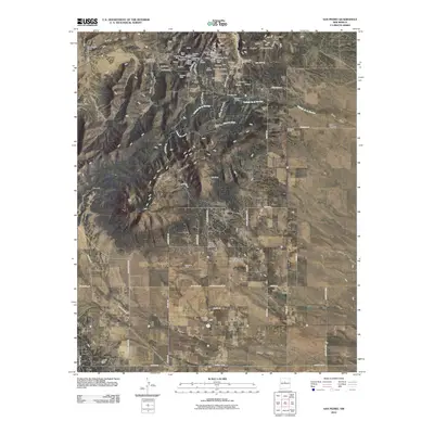 2010 San Pedro2010 Print · USGSSanta Fe County mining country is captured here in the early twenty-first century, showing the enduring footprint of historic mineral claims. Genealogists and historians can trace family-named sites like Horton Place and Simmons Ranch alongside the San Pedro Cemetery.
 - 2010 Map of Picture Rock, 2010 Print
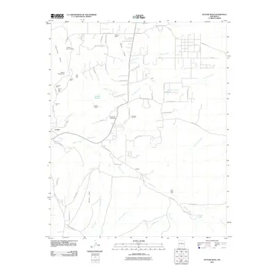 2010 Picture Rock2010 Print · USGSSanta Fe County mining country is captured here in the early twenty-first century, centered on the historic settlements of the Galisteo Basin. Local researchers can trace family-named roads and historic mineral workings like the Turquoise Mines, Mina Del Tiro, and Yellow Pearl Placer.
 - 2011 Map of El Valle, 2011 Print
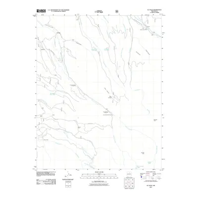 2011 El Valle2011 Print · USGSUpper Taos County life revolves around traditional irrigation and ranching during the early twenty-first century. Genealogists and historians can trace family properties like Tafoya Ranch or the course of the Acequia de Abajo de el Valle.
 - 2011 Map of Pecos, 2011 Print
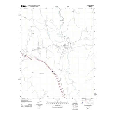 2011 Pecos2011 Print · USGSThe Pecos Valley at the turn of the 21st century reveals a landscape where deep archaeological history meets modern transit. Researchers can trace family sites at the Old Saint Anthonys Church Cemetery or explore the geography of Pecos National Hist Park and Forked Lightning Ranch.
 - 2011 Map of Seton Village, 2011 Print
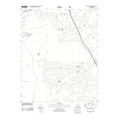 2011 Seton Village2011 Print · USGSSoutheast of Santa Fe in the early twenty-first century, this area showcases the intersection of historic ranching life and modern residential growth. Researchers can trace the Old Railroad Bed and the Old Santa Fe Trail past landmarks like Seton Village and the La Loma Post Office.
 - 2011 Map of Santa Fe, 2011 Print
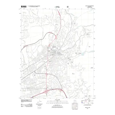 2011 Santa Fe2011 Print · USGSSanta Fe is shown at the start of the 2010s, where centuries-old water management systems and historic preservation meet modern growth. Genealogists and historians can locate properties like the Conklin Estate, ancestral burial grounds at Rosario Cemetery, and the ancient Acequie Madre.
 - 2011 Map of Sierra Mosca, 2011 Print
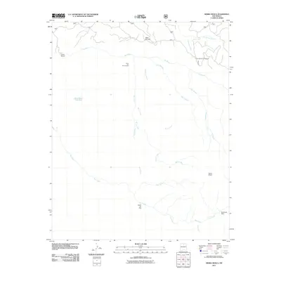 2011 Sierra Mosca2011 Print · USGSThe high mesa country and forest drainages of Santa Fe County are captured here in the early twenty-first century. Researchers can locate the Santa Rita Beryl Prospect and trace the many forks of Rio Medio or find the Borrego Mesa Campground near the peak of Sierra Mosca.
 - 2011 Map of Glorieta, 2011 Print
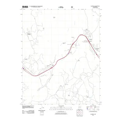 2011 Glorieta2011 Print · USGSUpper Santa Fe County in the early twenty-first century reveals a landscape where historic transit routes and Civil War history meet modern ranching life. Locate family landmarks and ancestral sites at Glorieta Cemetery, Cañoncito, and the Glorieta Battlefield.
Showing maps 1-25 of 132
Top cities of Santa Fe County
- Santa Fe historical maps
- Edgewood historical maps
- Santa Cruz historical maps
- Madrid historical maps
- Lamy historical maps
Frequently asked questions
- What are the different types of historical maps available for Santa Fe County?
- What is the oldest map of Santa Fe County?
- Where can I purchase historical maps of Santa Fe County for my home or office?
- Where can I download high-res historical maps of Santa Fe County?
- Are there historical topographic maps available for Santa Fe County?
- Is there historical aerial imagery available for Santa Fe County?
- Where are historical maps of Santa Fe County sourced from?