2020s Maps of Santa Fe County, New Mexico
Explore 88 historic maps of Santa Fe County from the 2020s. These maps offer a rare glimpse into what life looked like during the 2020s — showing old roads, neighborhoods, homes, and landmarks that have changed or disappeared over time.
Whether you're researching your family's past, planning a metal detecting trip, or studying how Santa Fe County's landscape evolved across the 2020s, these high-resolution maps are a powerful tool for exploring the history of this region.
- Focus on a specific era: All maps on this page are from the 2020s, giving you a focused view of this time period.
- See what’s changed: Compare century-old streets, trails, and buildings to today's modern landscape using overlays and satellite layers.
- Research with precision: Use these maps for genealogy, historical research, land use analysis, or educational projects.
- View, download, or print: Maps are fully viewable online in high resolution, and can be downloaded or printed for your own records.
Start exploring Santa Fe County's history through authentic maps from the 2020s. This is your window into the past.
Santa Fe County, NM maps
(88)- 2020 Map of Truchas, 2020 Print
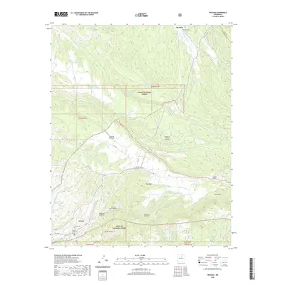 2020 Truchas2020 Print · USGSTraditional mountain villages like Truchas and Cordova are captured here in a high-elevation landscape where the national forests meet. Genealogists can locate several local burial grounds, such as Martinez Cem, Truchas Pueblo Cem, and San Miguel Cem.
 - 2020 Map of El Valle, 2020 Print
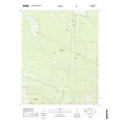 2020 El Valle2020 Print · USGSThe high valleys of northern New Mexico are shown here in the 2020s, where traditional acequia systems still sustain the land. Trace the historic irrigation of El Valle along the Rio de las Trampas and the high trails leading to Jicarilla Peak.
 - 2020 Map of Chimayo, 2020 Print
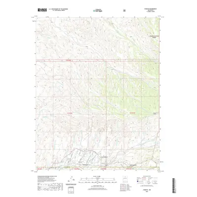 2020 Chimayo2020 Print · USGSTraditional northern New Mexico settlements along the Santa Cruz River valley are captured here in the early twenty-first century. Genealogists and historians can trace local family landmarks like Holy Family Church Cem, Los Pachecos, and the Quarteles Ditch.
 - 2020 Map of San Pedro, 2020 Print
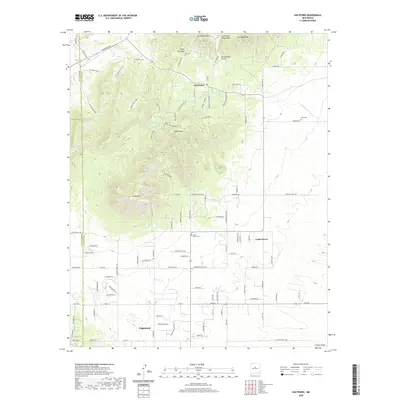 2020 San Pedro2020 Print · USGSNear the Santa Fe and Bernalillo county line in the early twenty-first century, this area shows a mix of mountain terrain and growing residential pockets. Trace local family roots at the San Pedro Cem or explore the high peaks of Oro Quay Peak and South Mtn.
 - 2020 Map of Puye, 2020 Print
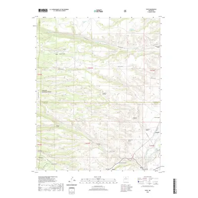 2020 Puye2020 Print · USGSThe Pajarito Plateau and its deep-cut canyons are mapped here in the modern era, showing the intersection of forest lands and tribal territories. Trace the geography of the mesas through landmarks like the Otowi Bridge, Puye, and Totavi.
 - 2020 Map of Madrid, 2020 Print
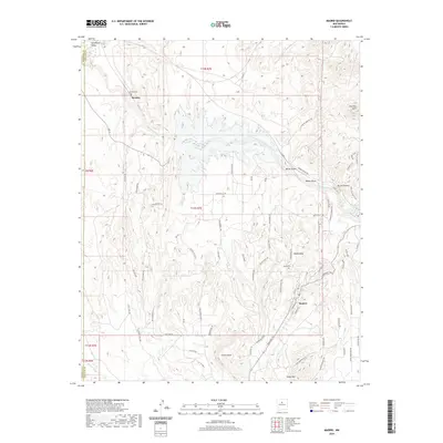 2020 Madrid2020 Print · USGSSanta Fe County's high desert reaches are captured here in the contemporary era, centered on the historic mining enclave of Madrid. Genealogists and historians can trace local landmarks like Madrid Cem, Rosario, and the geological features of the Cerrillos Hills.
 - 2020 Map of Captain Davis Mountain, 2020 Print
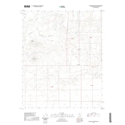 2020 Captain Davis Mountain2020 Print · USGSSanta Fe County’s high-desert terrain is documented here in the early twenty-first century, showing a landscape shaped by seasonal arroyos and isolated peaks. Researchers can locate named landmarks like Captain Davis Mtn, Peach Spring, and the historic path of Wagon Trail Rd.
 - 2020 Map of Horcado Ranch, 2020 Print
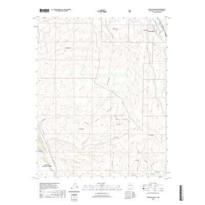 2020 Horcado Ranch2020 Print · USGSSanta Fe County high desert is captured here in the contemporary era, showing the intersection of historic acequias and modern ranch settlements. Researchers can trace land use patterns near Cuyamungue and Las Dos or follow the paths of Old Buckman Rd and Acequia Indios.
 - 2020 Map of Tetilla Peak, 2020 Print
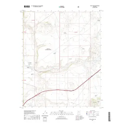 2020 Tetilla Peak2020 Print · USGSLa Bajada and the surrounding mesas are shown here in 2020 as they drop from the volcanic plateau toward the desert floor. Researchers can trace historic landmarks like La Bajada Cem, the iconic Tetilla Peak, and the winding path of the Santa Fe River.
 - 2020 Map of Agua Fria, 2020 Print
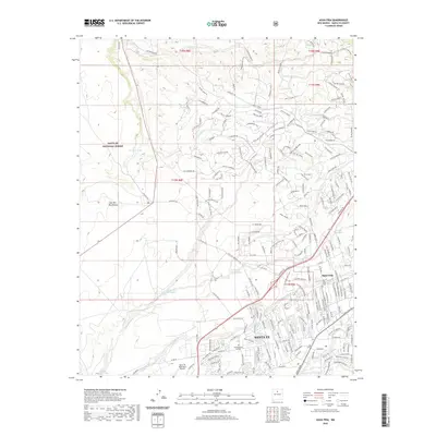 2020 Agua Fria2020 Print · USGSModern Santa Fe and the historic village of Agua Fria are captured here during a period of significant growth at the edge of the Caja del Rio Plateau. Researchers can trace local landmarks like San Isidro Cem, Southwestern College, and the drainage patterns of the Santa Fe River.
 - 2020 Map of White Rock, 2020 Print
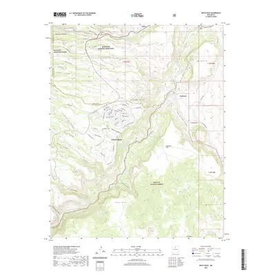 2020 White Rock2020 Print · USGSWhite Rock and the surrounding mesas are documented here in 2020, where residential development meets the wild canyons of the Rio Grande. Trace the edge of Bandelier National Monument or find local landmarks like Buckman and the Otowi Bridge.
 - 2020 Map of Montoso Peak, 2020 Print
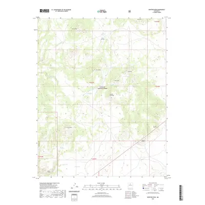 2020 Montoso Peak2020 Print · USGSThe northern New Mexico highlands and the volcanic Caja del Rio Plateau are shown here in detail during the twenty-first century. Researchers can trace the drainage of Arroyo Montoso or locate high-desert landmarks like Montoso Peak and Colorado Peak.
 - 2020 Map of Golden, 2020 Print
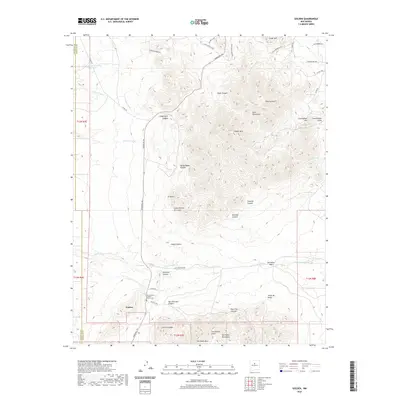 2020 Golden2020 Print · USGSGolden and the surrounding high desert of Santa Fe County are shown here in modern detail, where the traditional Turquoise Trl meets the mountain foothills. Researchers can pinpoint local landmarks like the San Francisco Catholic Church Cem and the peaks of the Ortiz Mountains.
 - 2020 Map of Picture Rock, 2020 Print
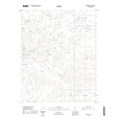 2020 Picture Rock2020 Print · USGSSanta Fe County's high desert landscape is shown here in the contemporary era, centered on the historic settlements and arroyos south of the state capital. Local researchers can trace the vicinity of Cerrillos, find the Cerrillos Protestant Cem, and locate landmarks like Mt Chalchihuitl.
 - 2020 Map of King Draw, 2020 Print
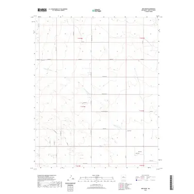 2020 King Draw2020 Print · USGSSanta Fe County’s high-desert ranchlands are documented here just as the modern era of rural development began to reshape the landscape. Family researchers and historians can locate the Hyer Cem and trace the paths of Simmons Rd, King Draw, and the Cañada de la Narrias.
 - 2020 Map of San Juan Pueblo, 2020 Print
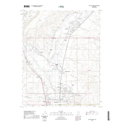 2020 San Juan Pueblo2020 Print · USGSThe Rio Grande valley in the early twenty-first century reveals a landscape of deep ancestry and modern growth north of the Española city center. Trace family roots and traditional lands through Ohkay Owingeh, the Rio Chama confluence, and historic ditch systems like the Alcalde-La Villita Ditch.
 - 2020 Map of Stanley, 2020 Print
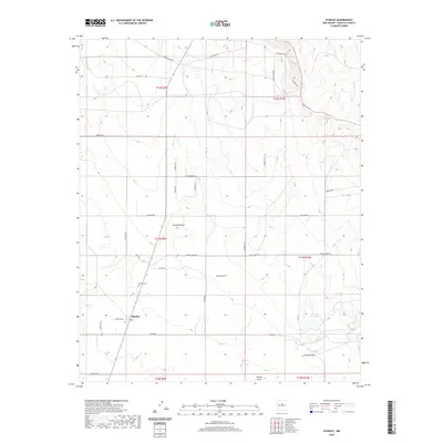 2020 Stanley2020 Print · USGSThe rural landscape of Santa Fe County comes into focus in this contemporary survey of the high desert. Genealogists and local historians can locate the Stanley Cem and trace the network of drainage basins like Kamradt Draw and Salt Draw.
 - 2020 Map of Rowe, 2020 Print
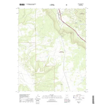 2020 Rowe2020 Print · USGSRowe and the canyonlands of the San Miguel county line are documented here in the early twenty-first century. Genealogists can locate family sites near Rowe Cem and Holy Family Catholic Cem or trace the old Ojo De La Vaca Trl.
 - 2020 Map of Seton Village, 2020 Print
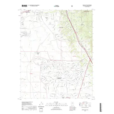 2020 Seton Village2020 Print · USGSThe southern outskirts of Santa Fe are shown in great detail during the late twenty-teens as residential growth extends toward the forest boundary. Researchers can trace the modern development of Eldorado At Santa Fe and Seton Village alongside older landmarks like Cañada de las Minas and the Lamy Trail.
 - 2020 Map of El Cuervo Butte, 2020 Print
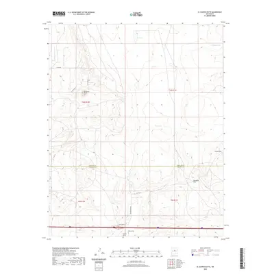 2020 El Cuervo Butte2020 Print · USGSNew Mexico's high-plains ranching landscape is documented here in the early twenty-first century as it straddles the Torrance and Santa Fe county line. Researchers can trace rural family-named routes like B Anaya Rd and legacy sites such as Old Radar Base Rd near El Cuervo Butte.
 - 2020 Map of Cundiyo, 2020 Print
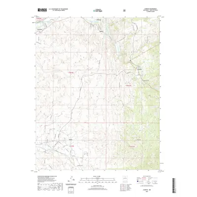 2020 Cundiyo2020 Print · USGSSanta Fe County’s high valleys are documented here in recent years, showing the enduring agricultural settlements of the Sangre de Cristo foothills. Researchers can trace local lineage through Cundiyo Cem and the traditional water systems of La Puebla Ditch and Reservoir Ditch.
 - 2020 Map of Bull Canyon, 2020 Print
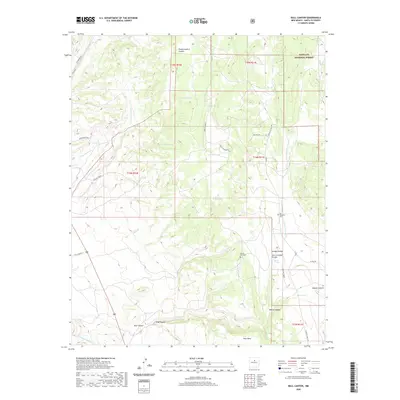 2020 Bull Canyon2020 Print · USGSSanta Fe County’s high-desert canyons and mesa lands are mapped here in the modern era, showing a landscape defined by its historic water sources and ranching routes. Genealogists and researchers can locate San Miguelito Cem and Ojo de Vaca Cem or trace old tracks like Ojo de la Vaca Rd.
 - 2020 Map of Mesa El Toro, 2020 Print
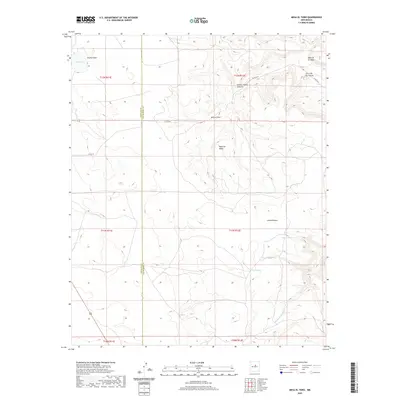 2020 Mesa El Toro2020 Print · USGSSanta Fe and San Miguel counties meet in this high-plateau country during the early twenty-first century. Genealogists and historians can trace ranching water sources and old routes like CO RD B31A near Mesa El Toro and the Valle de la Cabra.
 - 2020 Map of Wildhorse Mesa, 2020 Print
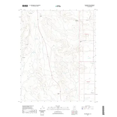 2020 Wildhorse Mesa2020 Print · USGSSanta Fe County’s high desert landscape is revealed in this contemporary survey, showing the intricate network of water catchments and canyon drainages. Researchers can trace the rugged topography of Wildhorse Mesa and locate remote features like Cañoncito Spring and Comanche Tank.
 - 2020 Map of Longhorn Reservoir, 2020 Print
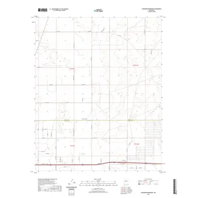 2020 Longhorn Reservoir2020 Print · USGSHigh-desert ranchlands and rural developments north of the county line are documented here in the early twenty-first century. Researchers can trace land divisions and local water sources like Longhorn Reservoir, Stinking Spring, and the branching Armijo Draw.
Showing maps 1-25 of 88
Top cities of Santa Fe County
- Santa Fe historical maps
- Edgewood historical maps
- Santa Cruz historical maps
- Madrid historical maps
- Lamy historical maps
Frequently asked questions
- What are the different types of historical maps available for Santa Fe County?
- What is the oldest map of Santa Fe County?
- Where can I purchase historical maps of Santa Fe County for my home or office?
- Where can I download high-res historical maps of Santa Fe County?
- Are there historical topographic maps available for Santa Fe County?
- Is there historical aerial imagery available for Santa Fe County?
- Where are historical maps of Santa Fe County sourced from?