Old Maps of Taos, New Mexico for Academic Research
Study the evolution of Taos with 17 high-resolution historic maps. Whether you're teaching, researching, or modeling changes in land use, these maps provide essential visual documentation of urban, environmental, and geographic change.
- Analyze long-term change: Track patterns in development, transportation, and natural features.
- Ideal for environmental or urban studies: Support academic projects with primary historical map data.
- Use in the classroom or lab: Educators and researchers rely on these maps to bring historical context to life.
These maps are a powerful tool for teaching, research, and visualizing how Taos has changed over the decades.
Taos, NM maps
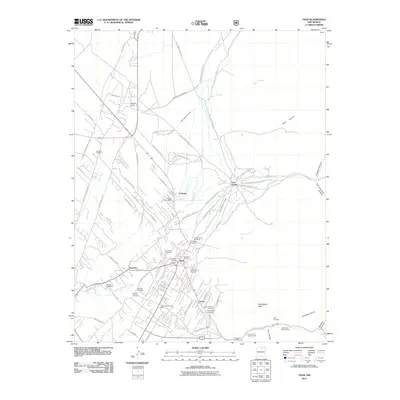
(17)- 1954 Map of Raton, 1963 Print
 1954 Raton1963 Print · USGSNorthern New Mexico's high-country and plains are documented here in the early sixties, showing the region's ranching and mining infrastructure. Trace the legacy of the Maxwell Land Grant, locate remote rural sites like Tafoya School, and follow the Atchison Topeka and Santa Fe Railway through the heart of Raton.3 unique versions available
 - 1958 Map of Raton
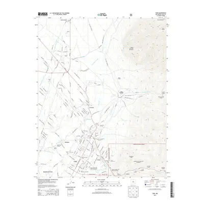
 1958 Raton1958 Print · USGSNorthern New Mexico and the Colorado borderlands are mapped here in the late fifties, showcasing a landscape of high peaks and historic land grants. Genealogists and historians can trace families across Picuris Pueblo, find old schoolhouses like Piedra Lumbre School, or follow the Atchison Topeka and Santa Fe rail line.3 unique versions available
 - 1964 Map of Taos, 1966 Print
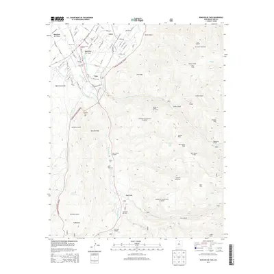
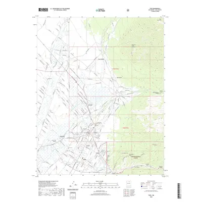
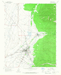 1964 Taos1966 Print · USGSTaos and its surrounding pueblo lands are shown in the early sixties during a period of steady growth and cultural preservation. Genealogists and historians can trace the intricate network of irrigation ditches and family cemeteries like Graham Cem and Colonia Cem.2 unique versions available
 - 1964 Map of Ranchos De Taos, 1967 Print
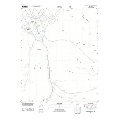
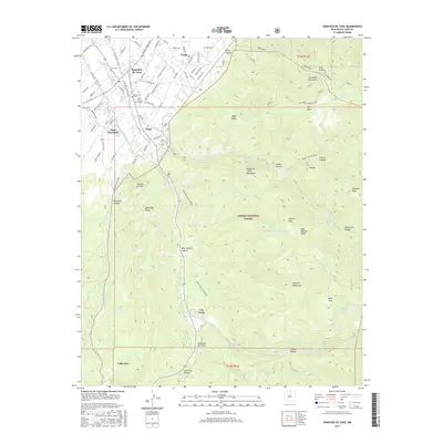
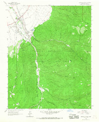 1964 Ranchos De Taos1967 Print · USGSTaos County in the mid-1960s reveals a landscape of high-altitude mountain grants and traditional valley acequias. Genealogists and historians can trace family locations near St Francis Ch, Hart Cem, and the old grounds of Ft Burgwin along the Rio Grande del Rancho.
 - 1983 Map of Taos
 1983 Taos1983 Print · USGSNorthern New Mexico's high-country heritage is on full display in the early eighties, from the deep river canyons to the highest alpine peaks. Genealogists and historians can trace traditional land-grant settlements like Las Trampas, Truchas, and the historic Taos Pueblo.2 unique versions available
 - 1995 Map of Ranchos De Taos, 1997 Print
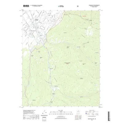
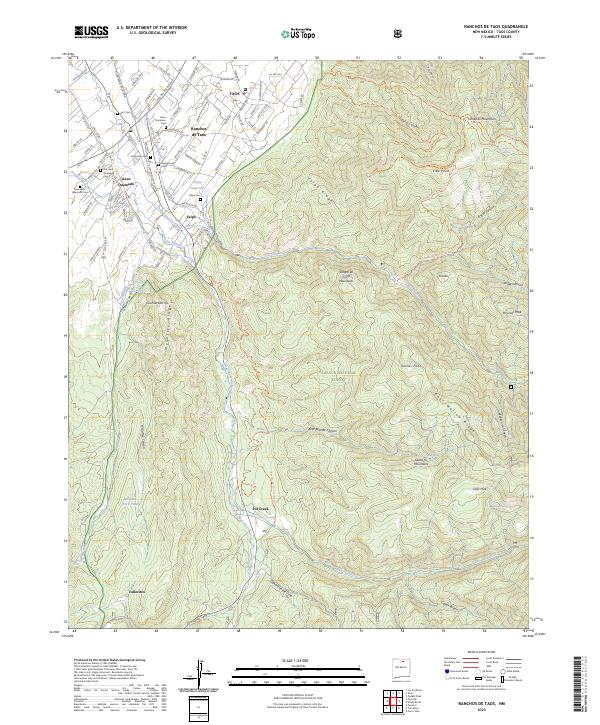
 1995 Ranchos De Taos1997 Print · USGSTraditional Spanish land grants and irrigation acequias define this high-altitude landscape near the end of the century. Genealogists and historians can trace family sites near Ranchos De Taos, St Francis Cem, and the Talpa Reservoir.
 - 1995 Map of Taos, 1998 Print
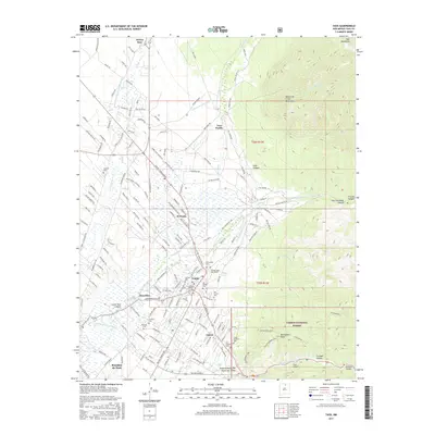
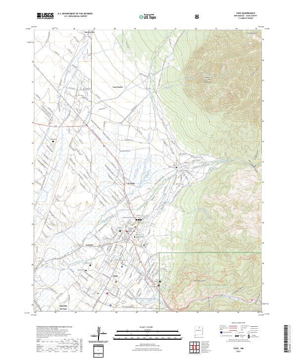
 1995 Taos1998 Print · USGSTaos and the surrounding pueblo lands appear in the mid-nineties as the community expanded along its historic acequias. Researchers can trace land grant boundaries and locate numerous family burial sites including Kit Carson Cem, La Loma Cem, and the Colonias Cem.
 - 2011 Map of Ranchos De Taos, 2011 Print
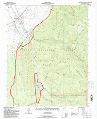
 2011 Ranchos De Taos2011 Print · USGSCovers Taos, including Pot Creek, Talpa, and other nearby areas
 - 2011 Map of Taos, 2011 Print
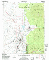
 2011 Taos2011 Print · USGSCovers Taos, including Ranchito, Cañon, and other nearby areas
 - 2013 Map of Ranchos De Taos, 2013 Print
 2013 Ranchos De Taos2013 Print · USGSCovers Taos, including Pot Creek, Talpa, and other nearby areas
 - 2013 Map of Taos, 2013 Print
 2013 Taos2013 Print · USGSCovers Taos, including Ranchito, Cañon, and other nearby areas
 - 2017 Map of Taos, 2017 Print
 2017 Taos2017 Print · USGSCovers Taos, including Ranchito, Cañon, and other nearby areas
 - 2017 Map of Ranchos De Taos, 2017 Print
 2017 Ranchos De Taos2017 Print · USGSCovers Taos, including Pot Creek, Talpa, and other nearby areas
 - 2020 Map of Taos, 2020 Print
 2020 Taos2020 Print · USGSCovers Taos, including Ranchito, Cañon, and other nearby areas
 - 2020 Map of Ranchos De Taos, 2020 Print
 2020 Ranchos De Taos2020 Print · USGSCovers Taos, including Pot Creek, Talpa, and other nearby areas
 - 2023 Map of Taos, 2023 Print
 2023 Taos2023 Print · USGSIn the shadow of the Sangre de Cristo Mountains, this 2023 survey traces the deep cultural roots of the Taos Valley. Genealogists and historians can locate numerous family burial sites like Pacheco Cem and Los Dolores Cem alongside the historic Taos Pueblo.
 - 2023 Map of Ranchos De Taos, 2023 Print
 2023 Ranchos De Taos2023 Print · USGSNorthern New Mexico's high-desert valleys and peaks are captured here in recent detail. Researchers can trace ancestral sites through numerous local landmarks like Old Llano Quemado Cem, Ponce de Leon Springs, and Ranchos de Taos.
End of results
Showing maps 1-17 of 17
Top cities near Taos
Frequently asked questions
- What are the different types of historical maps available for Taos?
- What is the oldest map of Taos?
- Where can I purchase historical maps of Taos for my home or office?
- Where can I download high-res historical maps of Taos?
- Are there historical topographic maps available for Taos?
- Is there historical aerial imagery available for Taos?
- Where are historical maps of Taos sourced from?