2000s (21st Century) Maps of Newstead, New York
Explore 20 historic maps of Newstead from the 2000s (21st Century). These maps offer a rare glimpse into what life looked like during the 2000s — showing old roads, neighborhoods, homes, and landmarks that have changed or disappeared over time.
Whether you're researching your family's past, planning a metal detecting trip, or studying how Newstead's landscape evolved across the 2000s, these high-resolution maps are a powerful tool for exploring the history of this region.
- Focus on a specific era: All maps on this page are from the 2000s, giving you a focused view of this time period.
- See what’s changed: Compare century-old streets, trails, and buildings to today's modern landscape using overlays and satellite layers.
- Research with precision: Use these maps for genealogy, historical research, land use analysis, or educational projects.
- View, download, or print: Maps are fully viewable online in high resolution, and can be downloaded or printed for your own records.
Start exploring Newstead's history through authentic maps from the 2000s. This is your window into the past.
Newstead, NY maps
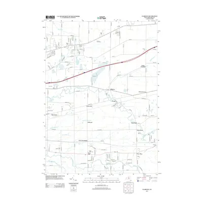
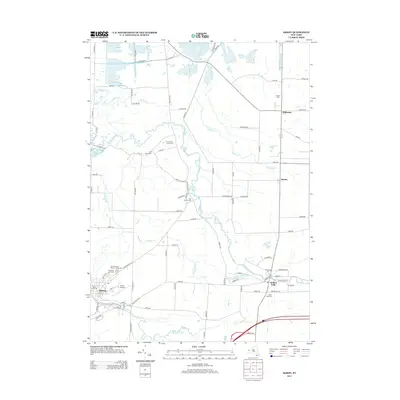
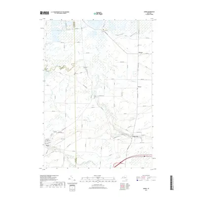
(20)- 2010 Map of Akron, 2010 Print
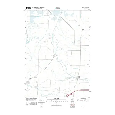 2010 Akron2010 Print · USGSCovers Newstead, including Royalton, Pembroke, and other nearby areas
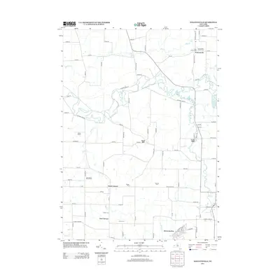
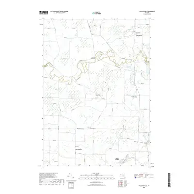
 - 2010 Map of Wolcottsville, 2010 Print
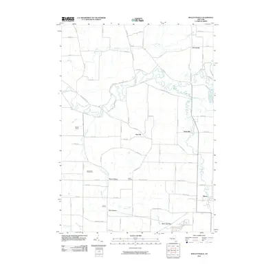 2010 Wolcottsville2010 Print · USGSCovers Newstead, including Clarence, Lockport, and other nearby areas
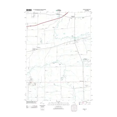
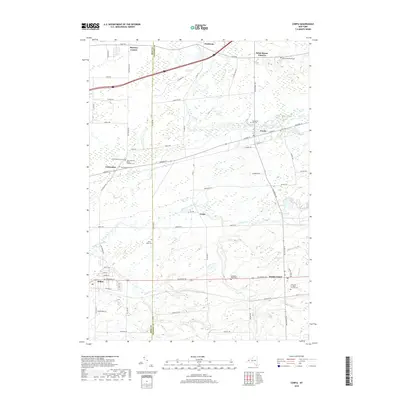
 - 2010 Map of Corfu, 2010 Print
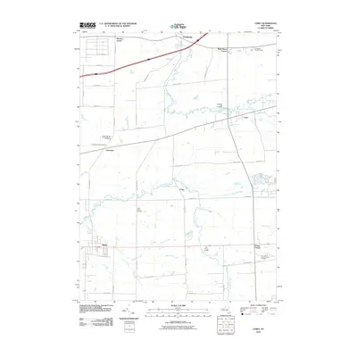 2010 Corfu2010 Print · USGSCovers Newstead, including Alden, Pembroke, and other nearby areas
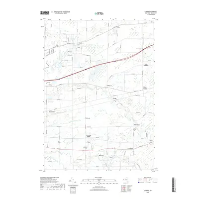
 - 2010 Map of Clarence, 2010 Print
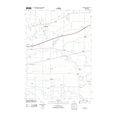 2010 Clarence2010 Print · USGSCovers Newstead, including Lancaster, Clarence, and other nearby areas
 - 2013 Map of Clarence, 2013 Print
 2013 Clarence2013 Print · USGSCovers Newstead, including Lancaster, Clarence, and other nearby areas
 - 2013 Map of Corfu, 2013 Print
 2013 Corfu2013 Print · USGSCovers Newstead, including Alden, Pembroke, and other nearby areas
 - 2013 Map of Wolcottsville, 2013 Print
 2013 Wolcottsville2013 Print · USGSCovers Newstead, including Clarence, Lockport, and other nearby areas
 - 2013 Map of Akron, 2013 Print
 2013 Akron2013 Print · USGSCovers Newstead, including Royalton, Pembroke, and other nearby areas
 - 2016 Map of Wolcottsville, 2016 Print
 2016 Wolcottsville2016 Print · USGSCovers Newstead, including Clarence, Lockport, and other nearby areas
 - 2016 Map of Akron, 2016 Print
 2016 Akron2016 Print · USGSCovers Newstead, including Royalton, Pembroke, and other nearby areas
 - 2016 Map of Corfu, 2016 Print
 2016 Corfu2016 Print · USGSCovers Newstead, including Alden, Pembroke, and other nearby areas
 - 2016 Map of Clarence, 2016 Print
 2016 Clarence2016 Print · USGSCovers Newstead, including Lancaster, Clarence, and other nearby areas
 - 2019 Map of Akron, 2019 Print
 2019 Akron2019 Print · USGSCovers Newstead, including Royalton, Pembroke, and other nearby areas
 - 2019 Map of Wolcottsville, 2019 Print
 2019 Wolcottsville2019 Print · USGSCovers Newstead, including Clarence, Lockport, and other nearby areas
 - 2019 Map of Corfu, 2019 Print
 2019 Corfu2019 Print · USGSCovers Newstead, including Alden, Pembroke, and other nearby areas
 - 2019 Map of Clarence, 2019 Print
 2019 Clarence2019 Print · USGSCovers Newstead, including Lancaster, Clarence, and other nearby areas
 - 2023 Map of Clarence, 2023 Print
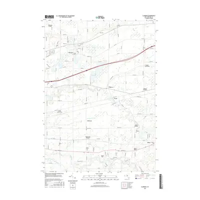
 2023 Clarence2023 Print · USGSErie County's eastern hamlets are captured in this recent survey, showcasing a landscape defined by historic burial grounds and winding creeks. Researchers can trace family history at the Schopf Pioneer Cem, Mount Olive Cem, and Town Line Station.
 - 2023 Map of Corfu, 2023 Print
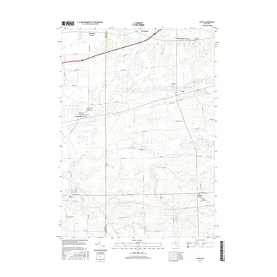
 2023 Corfu2023 Print · USGSThe Erie and Genesee County line in the 2020s remains a landscape of quiet hamlets and historic cemetery sites. Genealogists can trace family names at Evergreen Hill Cem or Saint Patricks Cem near the villages of Corfu and Crittenden.
 - 2023 Map of Akron, 2023 Print
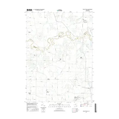
 2023 Akron2023 Print · USGSThe borderlands of Erie and Genesee Counties come into focus in the early twenty-first century, showcasing the village of Akron and the Oak Orchard Swamp. Genealogists can trace burial records at Saint Teresas Roman Catholic Cem or the Four Corners Cem.
 - 2023 Map of Wolcottsville, 2023 Print
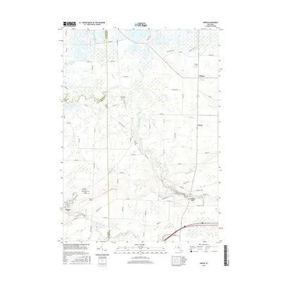
 2023 Wolcottsville2023 Print · USGSThe Erie and Niagara county line runs through this landscape of creek-side hamlets and rural crossroads in the early 2020s. Trace local history at Wolcottsville, Swifts Mills, and the Trinity Lutheran Cem near the banks of Tonawanda Creek.
End of results
Showing maps 1-20 of 20
Top cities near Newstead
- Amherst historical maps
- Cheektowaga historical maps
- West Seneca historical maps
- Lancaster historical maps
- Clarence historical maps
- Orchard Park historical maps
See more
Top neighborhoods of Newstead
- South Newstead historical maps
- Sand Hill historical maps
- Swifts Mills historical maps
- Murrays Corner historical maps
- Akron historical maps
Frequently asked questions
- What are the different types of historical maps available for Newstead?
- What is the oldest map of Newstead?
- Where can I purchase historical maps of Newstead for my home or office?
- Where can I download high-res historical maps of Newstead?
- Are there historical topographic maps available for Newstead?
- Is there historical aerial imagery available for Newstead?
- Where are historical maps of Newstead sourced from?