Old Maps of Cape Vincent, New York for Hiking & Exploration
Hike through history with 39 historic maps of Cape Vincent. Explore old trails, ghost towns, and forgotten backroads — perfect for outdoor adventurers and local explorers.
- Rediscover forgotten places: Map out old mining camps, roads, and footpaths that no longer exist on modern maps.
- Layer with modern tools: Combine with LiDAR or satellite views to plan hikes through historical terrain.
- Made for exploration: Popular among hikers, overlanders, and local history lovers.
Use these maps to find adventure and explore the hidden past of Cape Vincent.
Cape Vincent, NY maps
(39)- 1895 Map of Cape Vincent
 1895 Cape Vincent1895 Print · USGSUpper New York and the Canadian border meet at the head of the St. Lawrence River during the peak of the steamboat era. Genealogists and historians can trace the Cape Vincent Branch railroad and locate early shoreline landmarks like Tibbetts Pt. L.H. and the village of Marysville.6 unique versions available
 - 1900 Map of Clayton, 1957 Print
 1900 Clayton1957 Print · USGSThe Thousand Islands region and the St. Lawrence riverfront are captured here at the turn of the century, showing a landscape defined by steam and rail. Genealogists can trace family roots in CLAYTON, Chaumont, and Depauville, or follow the path of the Electric R.R. near Dexter.
 - 1903 Map of Clayton
 1903 Clayton1903 Print · USGSJefferson County's Thousand Islands region and Lake Ontario shoreline are documented here just after the turn of the century. Genealogists and historians can trace the rail lines connecting Clayton and Chaumont, or locate old post offices in Depauville and Rosiere.6 unique versions available
 - 1942 Map of Cape Vincent North
 1942 Cape Vincent North1942 Print · USGSThe international border along the Thousand Islands comes into sharp focus during the early 1940s. Genealogists and local historians can trace rural landmarks like Riverside Cem, School No 13, and the grounds of Burnham Pt State Park.
 - 1942 Map of Chaumont
 1942 Chaumont1942 Print · USGSLake Ontario's northern shores are captured in the early 1940s, showing the vital rail-and-water connections of Jefferson County. Genealogists and local historians can trace family sites like Harris Cem, local landmarks such as Wells School, and the villages of Three Mile Bay and Chaumont.
 - 1942 Map of Sawmill Bay
 1942 Sawmill Bay1942 Print · USGSThe Thousand Islands region along the New York-Ontario border is captured here during the early 1940s. Researchers can trace the rural landscape of Jefferson County through sites like Sand Bay Cem, the Wolfe Island L H, and local schoolhouses like School No 19.
 - 1942 Map of Cape Vincent South
 1942 Cape Vincent South1942 Print · USGSCoastal Jefferson County comes alive in this wartime survey of the waterfront where the St. Lawrence meets Lake Ontario. Genealogists can trace rural family life through a dozen numbered schoolhouses and explore landforms like Grenadier Island and the Long Carrying Place.2 unique versions available
 - 1944 Map of Cape Vincent
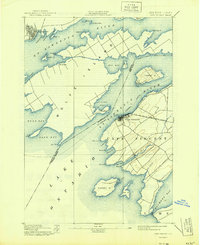 1944 Cape Vincent1944 Print · USGSThe Thousand Islands region thrived as a maritime and rail hub during the mid-twentieth century. Researchers can trace the international boundary line and locate historic landmarks like Tibbetts Pt. L.H. or the Marysville settlement on Wolfe Island.
 - 1954 Map of Kingston
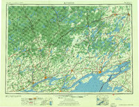 1954 Kingston1954 Print · USGSThe international border at the head of the St. Lawrence comes alive in the mid-fifties, showing the interconnected rail and river systems of Ontario and New York. Trace historical routes like the Canadian National RR or find local landmarks such as Thousand Island Park and Tyendinaga Ind. Res.4 unique versions available
 - 1958 Map of Chaumont
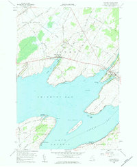 1958 Chaumont1958 Print · USGSThe eastern shores of Lake Ontario come into focus during the late fifties, showing a landscape of maritime peninsulas and sheltered harbors. Local historians can trace family names at Haider Cem or explore the waterfront layouts of Three Mile Bay and Chaumont.2 unique versions available
 - 1958 Map of Cape Vincent South, 1960 Print
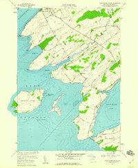 1958 Cape Vincent South1960 Print · USGSThe Jefferson County shoreline at the end of the fifties reveals a complex network of bays and islands where the Great Lakes meet the river. Genealogists and researchers can trace local family landmarks from St Vincent de Paul Cem to the Tibbetts Point Lighthouse and the Old Railroad Grade.2 unique versions available
 - 1958 Map of Cape Vincent North, 1961 Print
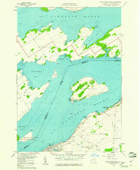 1958 Cape Vincent North1961 Print · USGSThe St. Lawrence River frontier is captured here in the late fifties, where New York meets Ontario across a network of large islands. Genealogists can trace family plots at Riverside Cem or follow the Old Railroad Grade near Cape Vincent.3 unique versions available
 - 1958 Map of Saint Lawrence, 1961 Print
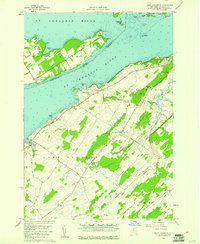 1958 Saint Lawrence1961 Print · USGSThe Thousand Islands region and the international border appear here in the late fifties as a landscape of river navigation and quiet upland farming. Genealogists can trace family names at the Saint Lawrence Cem or locate old homesteads near Warren and Kents.2 unique versions available
 - 1985 Map of Cape Vincent
 1985 Cape Vincent1985 Print · USGSThe Thousand Islands and the Jefferson County shoreline are documented in the mid-1980s as the river meets the lake. Genealogists and local historians can trace an Old Railroad Grade and explore settlements like Cape Vincent, Clayton, and Rosiere.2 unique versions available
 - 2010 Map of Cape Vincent South, 2010 Print
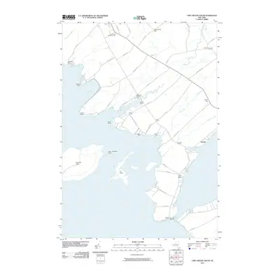 2010 Cape Vincent South2010 Print · USGSCape Vincent and the Thousand Islands region are shown here in the early twenty-first century, detailed with maritime landmarks and shoreline settlements. Local researchers can trace family lands near Bedford Corners or locate the Cape Vincent Breakwater Light and Saint Vincent de Paul Cemetery.
 - 2011 Map of Chaumont, 2011 Print
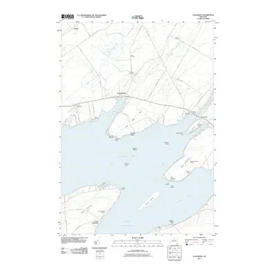 2011 Chaumont2011 Print · USGSThe northeastern reaches of Lake Ontario come into focus here during the early twenty-first century, showing the intricate coastline of Jefferson County. Genealogists can locate several burial grounds like Point Peninsula Cemetery and Putman Cemetery among the bays and shoals.
 - 2011 Map of Cape Vincent South OE W, 2011 Print
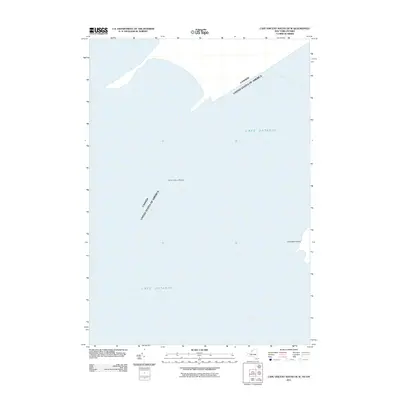 2011 Cape Vincent South OE W2011 Print · USGSLake Ontario and the international boundary define this maritime landscape in the early twenty-first century. Researchers can trace the water-bound border with Canada near landmarks like Grenadier Island and the navigational hazard of Allan Otty Shoal.
 - 2011 Map of Saint Lawrence, 2011 Print
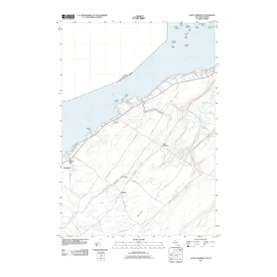 2011 Saint Lawrence2011 Print · USGSThe Thousand Islands region along the New York shoreline comes into focus in this recent survey of the international border. Genealogists and local historians can locate rural homesteads near Saint Lawrence or trace the family names of Warren and Sand Bay Cemetery.
 - 2011 Map of Cape Vincent North, 2011 Print
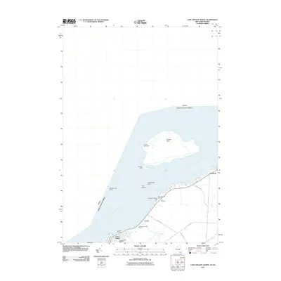 2011 Cape Vincent North2011 Print · USGSThe Thousand Islands region and the international border come into focus in the early 21st century along the banks of the Saint Lawrence River. Genealogists and local historians can trace shoreline family plots at Riverside Cemetery or explore the maritime history of Carleton Island and Cape Vincent.
 - 2013 Map of Saint Lawrence, 2013 Print
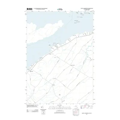 2013 Saint Lawrence2013 Print · USGSThe Thousand Islands shoreline and Jefferson County farmland are captured here in the early twenty-first century. Researchers can trace rural lineages through the Saint Lawrence Cem or explore the riverfront near Cedar Point State Park and Gull Rock Light.
 - 2013 Map of Cape Vincent North, 2013 Print
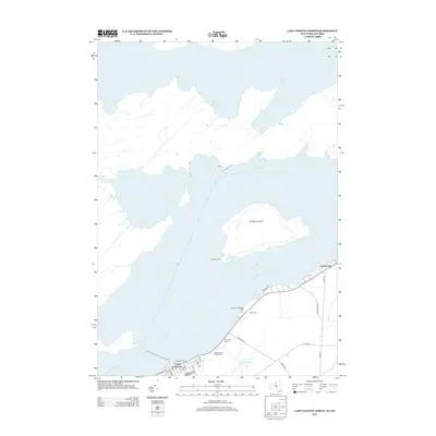 2013 Cape Vincent North2013 Print · USGSCape Vincent sits at the head of the Saint Lawrence River in this 2013 survey of the New York borderlands. Researchers can trace local lineage through Riverside Cem or locate maritime landmarks like the Leading Light and the Lawrence J Docteur Dock.
 - 2013 Map of Chaumont, 2013 Print
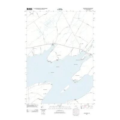 2013 Chaumont2013 Print · USGSThe Jefferson County shoreline comes alive in this survey of the eastern Lake Ontario coast, showing the maritime heart of the region. Researchers can locate numerous family burial grounds like Point Salubrious Cem and landmark aids such as the Independence Point Light.
 - 2013 Map of Cape Vincent South OE W, 2013 Print
 2013 Cape Vincent South OE W2013 Print · USGSThe eastern waters of Lake Ontario and the head of the Saint Lawrence River meet in this maritime study from 2013. Local researchers and divers can locate underwater navigation hazards like the Allan Otty Shoal within this critical waterway transition.
 - 2013 Map of Cape Vincent South, 2013 Print
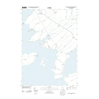 2013 Cape Vincent South2013 Print · USGSJefferson County’s riverfront and lakefront transition is documented here in the early twenty-first century. Genealogists and maritime historians can locate Saint Vincent de Paul Cem, the Cape Vincent Breakwater Light, and shoreline communities like Bayview.
 - 2016 Map of Chaumont, 2016 Print
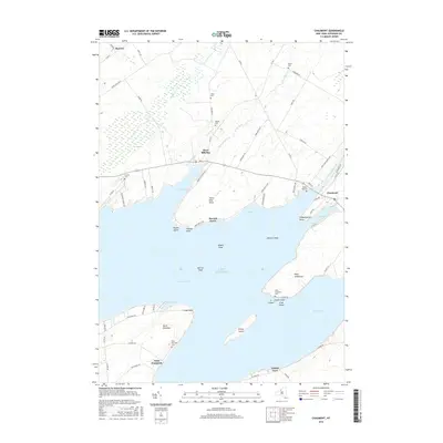 2016 Chaumont2016 Print · USGSCoastal Jefferson County comes into focus as a network of deep bays and established shorefront villages in the mid-2010s. Researchers can locate several family burial grounds including Wells Cemetery or trace the early residential pockets of Herrick Grove and Point Peninsula.
Showing maps 1-25 of 39
Top cities near Cape Vincent
- Brownville historical maps
- Adams historical maps
- Clayton historical maps
- Hounsfield historical maps
- Lyme historical maps
- Clayton historical maps
See more
Top neighborhoods of Cape Vincent
- Rosiere historical maps
- Saint Lawrence historical maps
- Warren historical maps
- Millen Bay historical maps
- Cape Vincent historical maps
Frequently asked questions
- What are the different types of historical maps available for Cape Vincent?
- What is the oldest map of Cape Vincent?
- Where can I purchase historical maps of Cape Vincent for my home or office?
- Where can I download high-res historical maps of Cape Vincent?
- Are there historical topographic maps available for Cape Vincent?
- Is there historical aerial imagery available for Cape Vincent?
- Where are historical maps of Cape Vincent sourced from?