2000s (21st Century) Maps of Inwood, Hempstead
Explore 20 historic maps of Inwood from the 2000s (21st Century). These maps offer a rare glimpse into what life looked like during the 2000s — showing old roads, neighborhoods, homes, and landmarks that have changed or disappeared over time.
Whether you're researching your family's past, planning a metal detecting trip, or studying how Inwood's landscape evolved across the 2000s, these high-resolution maps are a powerful tool for exploring the history of this region.
- Focus on a specific era: All maps on this page are from the 2000s, giving you a focused view of this time period.
- See what’s changed: Compare century-old streets, trails, and buildings to today's modern landscape using overlays and satellite layers.
- Research with precision: Use these maps for genealogy, historical research, land use analysis, or educational projects.
- View, download, or print: Maps are fully viewable online in high resolution, and can be downloaded or printed for your own records.
Start exploring Inwood's history through authentic maps from the 2000s. This is your window into the past.
Inwood, Hempstead maps
(20)- 2010 Map of Jamaica, 2010 Print
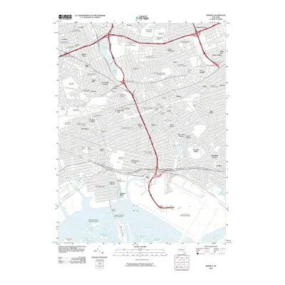 2010 Jamaica2010 Print · USGSCovers Inwood, including New York, Hempstead, and other nearby areas
 - 2010 Map of Lynbrook, 2010 Print
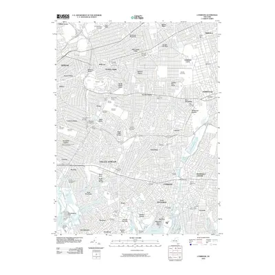 2010 Lynbrook2010 Print · USGSCovers Inwood, including New York, Hempstead, and other nearby areas
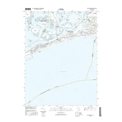
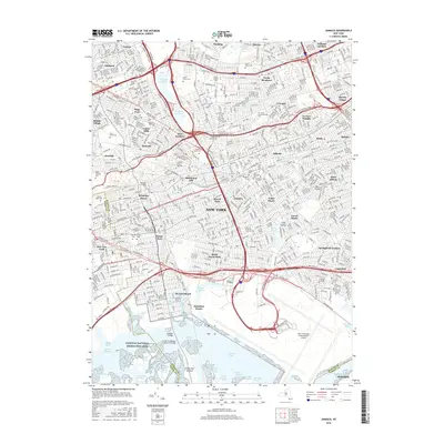
 - 2012 Map of Far Rockaway, 2012 Print
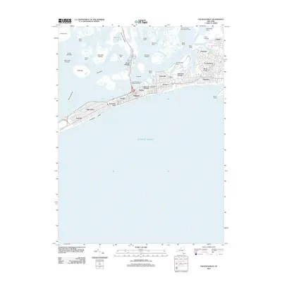 2012 Far Rockaway2012 Print · USGSCovers Inwood, including New York, Hempstead, and other nearby areas
 - 2012 Map of Lawrence, 2012 Print
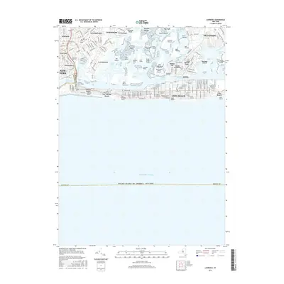
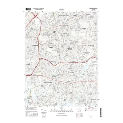
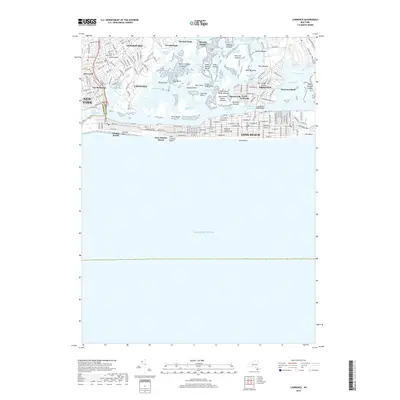
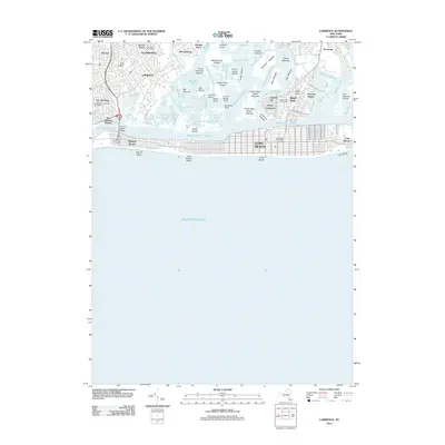 2012 Lawrence2012 Print · USGSCovers Inwood, including New York, Hempstead, and other nearby areas
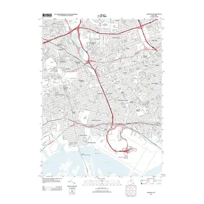
 - 2013 Map of Jamaica, 2013 Print
 2013 Jamaica2013 Print · USGSCovers Inwood, including New York, Hempstead, and other nearby areas
 - 2013 Map of Lynbrook, 2013 Print
 2013 Lynbrook2013 Print · USGSCovers Inwood, including New York, Hempstead, and other nearby areas
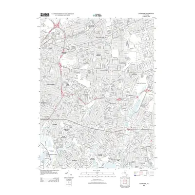
 - 2013 Map of Far Rockaway, 2013 Print
 2013 Far Rockaway2013 Print · USGSCovers Inwood, including New York, Hempstead, and other nearby areas
 - 2013 Map of Lawrence, 2013 Print
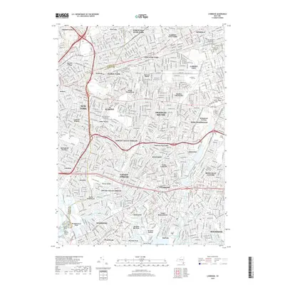
 2013 Lawrence2013 Print · USGSCovers Inwood, including New York, Hempstead, and other nearby areas
 - 2016 Map of Lawrence, 2016 Print
 2016 Lawrence2016 Print · USGSCovers Inwood, including New York, Hempstead, and other nearby areas
 - 2016 Map of Far Rockaway, 2016 Print
 2016 Far Rockaway2016 Print · USGSCovers Inwood, including New York, Hempstead, and other nearby areas
 - 2016 Map of Lynbrook, 2016 Print
 2016 Lynbrook2016 Print · USGSCovers Inwood, including New York, Hempstead, and other nearby areas
 - 2016 Map of Jamaica, 2016 Print
 2016 Jamaica2016 Print · USGSCovers Inwood, including New York, Hempstead, and other nearby areas
 - 2019 Map of Lawrence, 2019 Print
 2019 Lawrence2019 Print · USGSCovers Inwood, including New York, Hempstead, and other nearby areas
 - 2019 Map of Lynbrook, 2019 Print
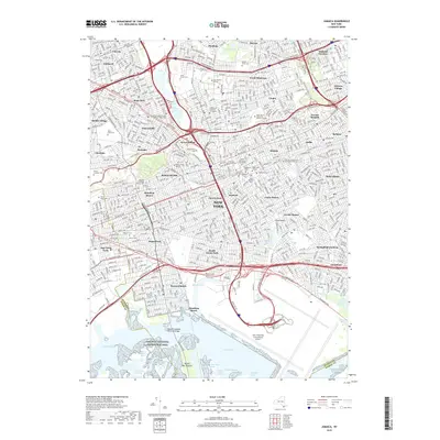
 2019 Lynbrook2019 Print · USGSCovers Inwood, including New York, Hempstead, and other nearby areas
 - 2019 Map of Jamaica, 2019 Print
 2019 Jamaica2019 Print · USGSCovers Inwood, including New York, Hempstead, and other nearby areas
 - 2019 Map of Far Rockaway, 2019 Print
 2019 Far Rockaway2019 Print · USGSCovers Inwood, including New York, Hempstead, and other nearby areas
 - 2023 Map of Lawrence, 2023 Print
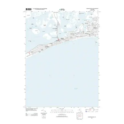
 2023 Lawrence2023 Print · USGSThe Nassau County coastline is captured here in the contemporary era, showing the interconnected shore towns from CEDARHURST to Lido Beach. Genealogy researchers can locate the Long Island Cem and Saint Marys, or trace the waterfronts of Island Park and Barnum Island.
 - 2023 Map of Jamaica, 2023 Print
 2023 Jamaica2023 Print · USGSQueens is shown in its contemporary complexity, from the sprawling runways of John F Kennedy International Airport to the tight-knit streets of Richmond Hill. Researchers can identify historic neighborhood boundaries and landmarks like Maple Grove Cem and CUNY York College.
 - 2023 Map of Far Rockaway, 2023 Print
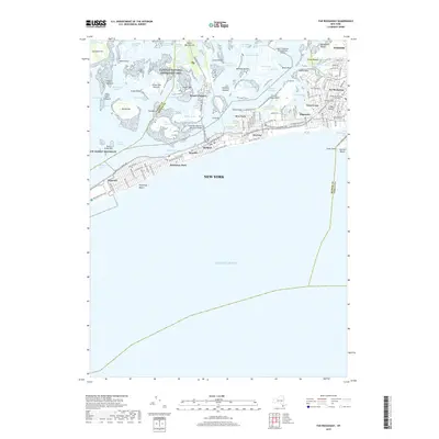
 2023 Far Rockaway2023 Print · USGSThe Rockaway Peninsula and Jamaica Bay appear in high resolution in this modern coastal survey. Researchers can trace the dense urban street grids of Far Rockaway and Arverne or explore the wetland geography of The Raunt and Big Egg Marsh.
 - 2023 Map of Lynbrook, 2023 Print
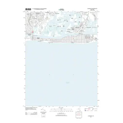
 2023 Lynbrook2023 Print · USGSNassau County and eastern Queens appear in high detail during this contemporary era of dense suburban development. Genealogists and historians can trace family plots and local landmarks at Montefiore Cem, Stuart Ave Methodist Church Cem, and the Nassau County Courthouse.
End of results
Showing maps 1-20 of 20
Top cities near Inwood
- New York historical maps
- Hempstead historical maps
- Oyster Bay historical maps
- North Hempstead historical maps
- Middletown Township historical maps
- Hempstead historical maps
See more
Top neighborhoods of Inwood
Frequently asked questions
- What are the different types of historical maps available for Inwood?
- What is the oldest map of Inwood?
- Where can I purchase historical maps of Inwood for my home or office?
- Where can I download high-res historical maps of Inwood?
- Are there historical topographic maps available for Inwood?
- Is there historical aerial imagery available for Inwood?
- Where are historical maps of Inwood sourced from?