Old Maps of Yates, New York for Academic Research
Study the evolution of Yates with 29 high-resolution historic maps. Whether you're teaching, researching, or modeling changes in land use, these maps provide essential visual documentation of urban, environmental, and geographic change.
- Analyze long-term change: Track patterns in development, transportation, and natural features.
- Ideal for environmental or urban studies: Support academic projects with primary historical map data.
- Use in the classroom or lab: Educators and researchers rely on these maps to bring historical context to life.
These maps are a powerful tool for teaching, research, and visualizing how Yates has changed over the decades.
Yates, NY maps
(29)- 1897 Map of Ridgeway
 1897 Ridgeway1897 Print · USGSOrleans and Niagara Counties are captured here in the late 1890s, where the bustling ERIE CANAL and the Rome Watertown and Ogdensburg R. R. define the local economy. Genealogists and historians can trace family-named sites along the Ridge Road and locate long-standing hamlets like Lyndonville and Kuckville.5 unique versions available
 - 1944 Map of Ashwood
 1944 Ashwood1944 Print · USGSOrleans County orchards and waterways meet the shoreline of Lake Ontario during the mid-forties. Genealogists can trace family roots through numerous local landmarks, including Oak Orchard Cem, Eagle Harbor on the Erie Canal, and scattered district schools.
 - 1950 Map of Ridgeway, 1956 Print
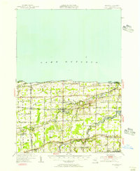 1950 Ridgeway1956 Print · USGSOrleans County, New York, is captured here at mid-century, where Lake Ontario orchards meet the busy corridor of the historic Erie Canal. Researchers can trace the legacy of rural education and community at School No. 16 or locate family plots at Otter Creek Cemetery and Fuller Cemetery.2 unique versions available
 - 1950 Map of Ashwood, 1959 Print
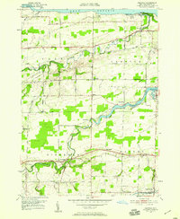 1950 Ashwood1959 Print · USGSOrleans County’s shoreline and agricultural heartland are captured here in the mid-twentieth century, from the Lake Ontario coast down to the historic canal. Genealogists can trace family names and local landmarks through sites like Bates Road Cem, the hamlet of Kuckville, and the transit corridor of the Erie Canal.2 unique versions available
 - 1951 Map of Lyndonville
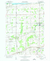 1951 Lyndonville1951 Print · USGSOrleans and Niagara counties meet along this coastal stretch of Lake Ontario during the early fifties. Genealogists and local historians can trace the foundations of these communities through the locations of School No 10, St Patricks Cem, and the rail stops of the New York Central.2 unique versions available
 - 1952 Map of Ashwood
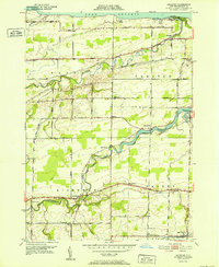 1952 Ashwood1952 Print · USGSOrleans County, New York, during the early fifties shows a landscape defined by the fruit-growing region between the Great Lakes and the historic canal. Researchers can trace the path of the Erie Canal past Eagle Harbor or locate old rural schools like School No 16.
 - 1952 Map of Toronto, 1954 Print
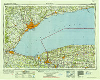 1952 Toronto1954 Print · USGSLake Ontario and the international border define this mid-century landscape of rapid industrial and suburban growth. Researchers can trace the vital shipping and rail corridors of the era, from the Welland Canal to the New York Central Railroad.
 - 1962 Map of Toronto, 1982 Print
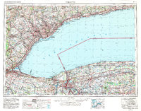 1962 Toronto1982 Print · USGSThe Golden Horseshoe and the Niagara Frontier meet in this early 1960s study of a growing international border region. Trace the path of the Welland Canal and locate land marks like the Scarborough Bluffs and Tuscarora Indian Reservation.
 - 1965 Map of Toronto
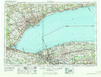 1965 Toronto1965 Print · USGSThe Golden Horseshoe and Niagara Frontier are shown in detail during the early sixties, highlighting the international shipping and transit networks. Trace the path of the Erie Canal, the Welland Canal, and rail lines connecting Toronto and Niagara Falls.2 unique versions available
 - 1979 Map of Lyndonville, 1980 Print
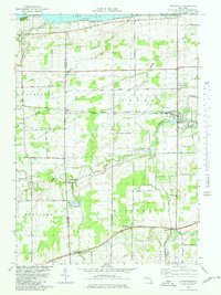 1979 Lyndonville1980 Print · USGSOrchard lands and small crossroads settlements define this Lake Ontario shoreline in the late seventies. Genealogists and local historians can trace property locations and community landmarks from Lyndonville and Jeddo to Somerset Cem and St Johns Ch.
 - 1984 Map of Lockport, 1985 Print
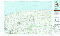 1984 Lockport1985 Print · USGSWestern New York in the 1980s shows a landscape of lakefront parks, industrial rail corridors, and vast protected wetlands. Genealogists and historians can trace the legacy of local families through sites like Acacia Park Cem or the Tuscarora Indian Reservation.2 unique versions available
 - 2010 Map of Lyndonville, 2010 Print
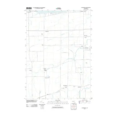 2010 Lyndonville2010 Print · USGSOrleans County’s agricultural heartland meets the Great Lakes shoreline in this 2010 study of the northern New York frontier. Genealogists can trace family roots through numerous local burial sites like North Ridgeway Cemetery and Daniels Cemetery, or explore landmarks like Thirtymile Point Light.
 - 2010 Map of Ashwood, 2010 Print
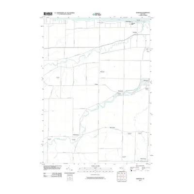 2010 Ashwood2010 Print · USGSOrleans County shoreline and canal corridor are captured here in the early twenty-first century. Genealogists and local historians can trace family plots at Oak Orchard Cemetery or follow the historic Erie Canal through Eagle Harbor.
 - 2013 Map of Lyndonville, 2013 Print
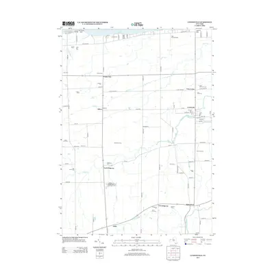 2013 Lyndonville2013 Print · USGSThe Lake Ontario shoreline and the farming communities of Orleans County are captured here in the early 21st century. Genealogists can locate family burial plots at Lynhaven Cem or Somerset Cem and trace the rural reaches of Johnson Cr.
 - 2013 Map of Ashwood OE N, 2013 Print
 2013 Ashwood OE N2013 Print · USGSLake Ontario and the Orleans County shoreline are captured here in the early twenty-first century. Historians and researchers can trace the coastal interface and find local landmarks such as Goetze Ln at the water's edge.
 - 2013 Map of Lyndonville OE N, 2013 Print
 2013 Lyndonville OE N2013 Print · USGSThe waters of Lake Ontario fill this 2013 coastal survey off the shores of Niagara County. Genealogists and local historians can trace the very edge of the Somerset mainland where Wescott Ln meets the waterfront.
 - 2013 Map of Ashwood, 2013 Print
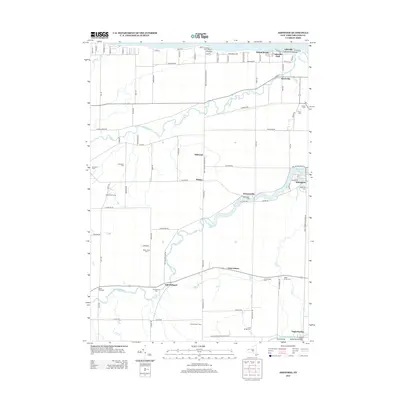 2013 Ashwood2013 Print · USGSOrleans County’s shoreline and river valleys appear in high detail during this early 21st-century survey. Researchers can trace ancestral roots through numerous local burial grounds like Carlton Cem or explore the hamlets of Ashwood, Platten, and Oak Orchard.
 - 2016 Map of Ashwood, 2016 Print
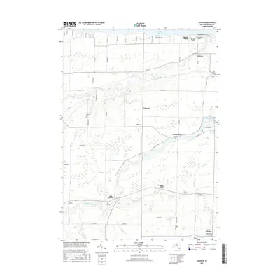 2016 Ashwood2016 Print · USGSNear the Lake Ontario shore in the mid-2010s, this Orleans County region maintains its rural character along the Oak Orchard River. Genealogists can locate several local burial grounds such as Oak Orchard Cem and the Bates Road Cem.
 - 2016 Map of Lyndonville OE N, 2016 Print
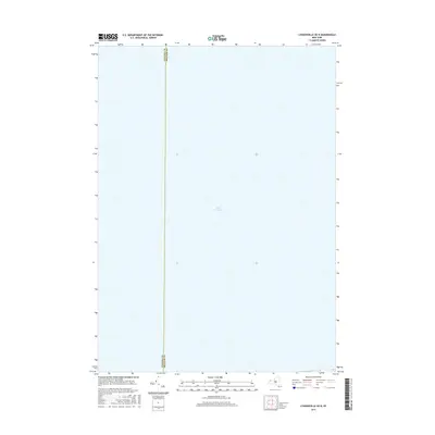 2016 Lyndonville OE N2016 Print · USGSThe open waters of the Great Lakes take center stage in this 2016 navigation-focused map. Maritime researchers can trace the precise offshore boundary between Niagara Co and Orleans Co across the expanse of Lake Ontario.
 - 2016 Map of Lyndonville, 2016 Print
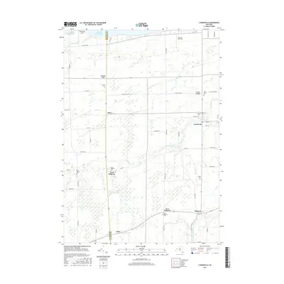 2016 Lyndonville2016 Print · USGSOrleans County farming life and lakefront settlements are captured here in the mid-2010s. Researchers can trace family history through numerous burial grounds like North Ridgeway Cem and Yates Center Cem or locate the Tiger Paw Aerodrome.
 - 2016 Map of Ashwood OE N, 2016 Print
 2016 Ashwood OE N2016 Print · USGSThe open waters off the northern coast of Orleans County are captured in this mid-2010s survey of the Lake Ontario shoreline. For those researching the maritime geography of the region, the map focus is entirely on the expanse of Lake Ontario.
 - 2019 Map of Ashwood, 2019 Print
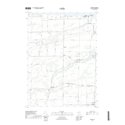 2019 Ashwood2019 Print · USGSOrleans County’s lakeshore and canal corridor come into focus in this recent survey of the New York countryside. Genealogists can trace family roots through numerous burial sites like Greenman Cem and Otter Creek Cem, or explore the small hamlets of Kuckville and Platten.
 - 2019 Map of Ashwood OE N, 2019 Print
 2019 Ashwood OE N2019 Print · USGSThe open waters of Lake Ontario north of Orleans County are documented in this late-2010s hydrographic study. Maritime researchers and coastal historians can trace the expanse of the Great Lake in this specific coastal quadrangle.
 - 2019 Map of Lyndonville OE N, 2019 Print
 2019 Lyndonville OE N2019 Print · USGSThe open waters of Western New York are captured here in the late 2010s, focusing on the aquatic approach to the Niagara and Orleans shoreline. Researchers can trace the water-bound jurisdictional line of Niagara Co and Orleans Co as it extends into Lake Ontario.
 - 2019 Map of Lyndonville, 2019 Print
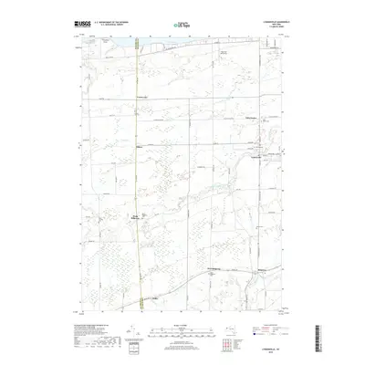 2019 Lyndonville2019 Print · USGSOrleans County farmland meets the southern shore of Lake Ontario in this contemporary survey of the rural landscape north of Medina. Genealogists can trace family footprints through numerous local burial grounds including Yates Center Cem, Saint Patricks Cem, and Daniels Cem.
Showing maps 1-25 of 29
Top cities near Yates
- Albion historical maps
- Royalton historical maps
- Ridgeway historical maps
- Medina historical maps
- Albion historical maps
- Shelby historical maps
See more
Top neighborhoods of Yates
- Platten historical maps
- Yates Center historical maps
- Ashwood historical maps
- Shadigee historical maps
- Millers historical maps
- County Line historical maps
See more
Frequently asked questions
- What are the different types of historical maps available for Yates?
- What is the oldest map of Yates?
- Where can I purchase historical maps of Yates for my home or office?
- Where can I download high-res historical maps of Yates?
- Are there historical topographic maps available for Yates?
- Is there historical aerial imagery available for Yates?
- Where are historical maps of Yates sourced from?