Old Maps of West Pierrepont, Pierrepont for Metal Detecting
Plan your next treasure hunt with 13 historic maps of West Pierrepont. Find old homesites, ghost towns, trails, and gathering spots that may be lost to time — perfect for identifying promising metal detecting locations.
- Locate forgotten sites: Uncover places like long-lost settlements, abandoned rail lines, or gathering spots.
- Plan better hunts: Use map overlays combined with LiDAR or satellite views to narrow in on historically rich areas.
- Made for detectorists: Thousands of hobbyists use these maps to discover relics, coins, and hidden history.
Use these historic maps to boost your research and find new opportunities beneath the surface of West Pierrepont.
West Pierrepont, Pierrepont maps
(13)- 1915 Map of Russell, 1958 Print
 1915 Russell1958 Print · USGSSt. Lawrence County was a landscape of remote school districts and family-named crossroads when this survey was conducted during the First World War. Local historians can trace the foundations of the regional iron industry at the Clifton Furnace Ruins or locate vanished rural centers like Pond Settlement and Whippoorwill Corners.
 - 1918 Map of Russell
 1918 Russell1918 Print · USGSSt. Lawrence County during the First World War era reveals a landscape of isolated farmsteads and rural school districts connected by winding rivers. Researchers can locate long-forgotten sites like the Clifton Furnace Ruins, the Scotland School, and the remote Pond Settlement.5 unique versions available
 - 1948 Map of Ogdensburg, 1973 Print
 1948 Ogdensburg1973 Print · USGSThe international border along the St Lawrence River comes to life in the late 1940s, showing the vital rail and water connections between New York and Ontario. Researchers can trace the grounds of St Lawrence University, the massive Camp Drum military reservation, and the historic Rideau River and Canal.2 unique versions available
 - 1951 Map of Ogdensburg
 1951 Ogdensburg1951 Print · USGSThe St. Lawrence frontier and the North Country are captured here during the post-war era, from the river ports to the high Adirondacks. Genealogists and historians can trace the rail-and-river economy through Ogdensburg, the Rutland rail lines, and Potsdam.
 - 1953 Map of Ogdensburg
 1953 Ogdensburg1953 Print · USGSThe North Country and St. Lawrence Valley are shown here in the early fifties, just as the region’s rail-and-river economy remained in full swing. Genealogists and historians can trace family-named corners and rural hubs along the Rutland railroad or locate heritage sites near Ogdensburg, Potsdam, and the St Regis Indian Reservation.
 - 1961 Map of Ogdensburg
 1961 Ogdensburg1961 Print · USGSThe St. Lawrence valley and the Adirondack high country meet in this early sixties survey during a peak era for rail and river commerce. Genealogists and historians can trace the paths of the New York Central railroad through remote settlements like Wanakena, Conifer, and Piercefield.
 - 1969 Map of West Pierrepont, 1971 Print
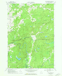 1969 West Pierrepont1971 Print · USGSSt. Lawrence County was a region of remote hamlets and timbered forest lands when this survey was field-checked in the late sixties. Researchers can trace the legacy of family homesteads at Endersbees Corners or locate the Old Railroad Grade near Lampsons Falls.2 unique versions available
 - 1985 Map of Gouverneur
 1985 Gouverneur1985 Print · USGSSt. Lawrence and Jefferson Counties are shown in the mid-eighties as a landscape of river-driven industry and expanding military grounds. Genealogists and historians can trace rail lines through Carthage, find local landmarks like Noble Hospital, and locate the boundaries of the Fort Drum Military Reservation.2 unique versions available
 - 2010 Map of West Pierrepont, 2010 Print
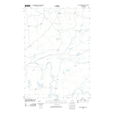 2010 West Pierrepont2010 Print · USGSSaint Lawrence County’s wooded river valleys come into focus in this contemporary survey of the Pierrepont and Clare area. Genealogists and local historians can trace family-named hubs like Brouses Corners or locate landmarks such as Lampsons Falls and Moores Airport.
 - 2013 Map of West Pierrepont, 2013 Print
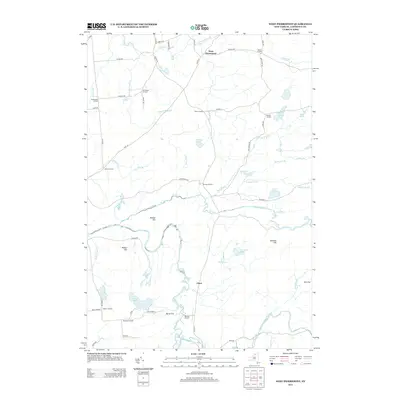 2013 West Pierrepont2013 Print · USGSSaint Lawrence County’s rural intersections and waterways are meticulously documented in this early twenty-first-century survey. Genealogists and local historians can trace family-named locales like Deans Corners, Brouses Corners, and the scenic Lampsons Falls.
 - 2016 Map of West Pierrepont, 2016 Print
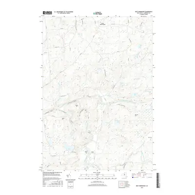 2016 West Pierrepont2016 Print · USGSSaint Lawrence County’s northern Adirondack foothills come into focus in the mid-2010s, showing the intersection of rural life and wild river corridors. Genealogists and historians can trace the areas around West Pierrepont, Burns Flat, and the falls along the Grass River.
 - 2019 Map of West Pierrepont, 2019 Print
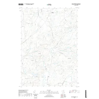 2019 West Pierrepont2019 Print · USGSWest Pierrepont and the northern Adirondacks are shown in this recent survey of Saint Lawrence County. Researchers can trace river drainage and topography from Lampsons Falls to Barbour Hill, while locating rural landmarks like Moores Airport and Burns Flat.
 - 2023 Map of West Pierrepont, 2023 Print
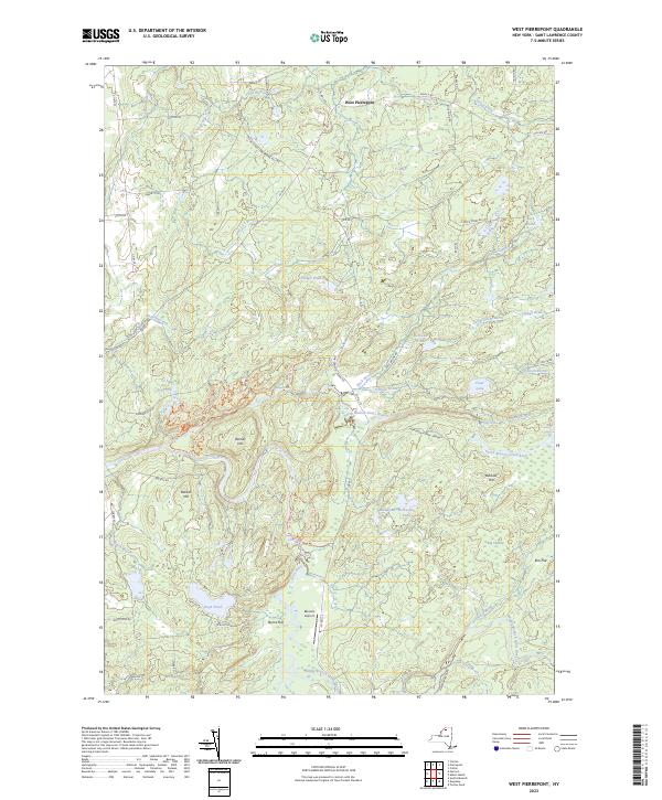 2023 West Pierrepont2023 Print · USGSSt. Lawrence County highlands and river valleys appear in this recent survey of the Adirondack fringe. Researchers can trace family-named landmarks like Barbour Hill and remote settlements such as Elm Flat and West Pierrepont.
End of results
Showing maps 1-13 of 13
Top cities near West Pierrepont
- Potsdam historical maps
- Canton historical maps
- Potsdam historical maps
- Canton historical maps
- Lisbon historical maps
- Stockholm historical maps
See more
Frequently asked questions
- What are the different types of historical maps available for West Pierrepont?
- What is the oldest map of West Pierrepont?
- Where can I purchase historical maps of West Pierrepont for my home or office?
- Where can I download high-res historical maps of West Pierrepont?
- Are there historical topographic maps available for West Pierrepont?
- Is there historical aerial imagery available for West Pierrepont?
- Where are historical maps of West Pierrepont sourced from?