2010s Maps of Washington County, New York
Explore 108 historic maps of Washington County from the 2010s. These maps offer a rare glimpse into what life looked like during the 2010s — showing old roads, neighborhoods, homes, and landmarks that have changed or disappeared over time.
Whether you're researching your family's past, planning a metal detecting trip, or studying how Washington County's landscape evolved across the 2010s, these high-resolution maps are a powerful tool for exploring the history of this region.
- Focus on a specific era: All maps on this page are from the 2010s, giving you a focused view of this time period.
- See what’s changed: Compare century-old streets, trails, and buildings to today's modern landscape using overlays and satellite layers.
- Research with precision: Use these maps for genealogy, historical research, land use analysis, or educational projects.
- View, download, or print: Maps are fully viewable online in high resolution, and can be downloaded or printed for your own records.
Start exploring Washington County's history through authentic maps from the 2010s. This is your window into the past.
Washington County, NY maps
(108)- 2010 Map of Schaghticoke, 2010 Print
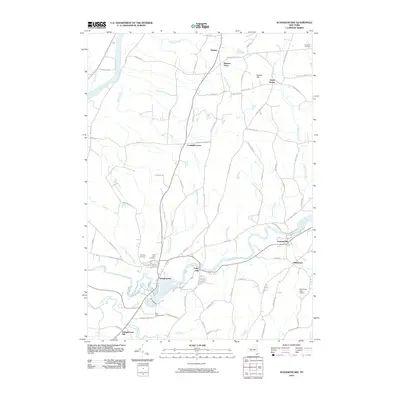 2010 Schaghticoke2010 Print · USGSThe river valleys and farmsteads of Rensselaer and Saratoga counties are shown in detail as they appeared in the early 2010s. Researchers can trace family history at Elmwood Cemetery or explore the settlement patterns of Valley Falls, Crandall Corners, and Johnsonville.
 - 2010 Map of Eagle Bridge, 2010 Print
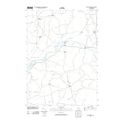 2010 Eagle Bridge2010 Print · USGSThe Hoosic River valley and its rural crossroads come alive in this early 21st-century survey of the Rensselaer and Washington County border. Researchers can trace historic river crossings like Buskirks Covered Bridge and locate family landmarks near West Hoosick or Woodside Cemetery.
 - 2010 Map of Cambridge, 2010 Print
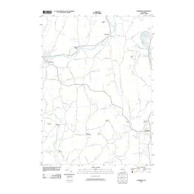 2010 Cambridge2010 Print · USGSWashington County at the start of the 2010s shows a landscape of historic river towns and agricultural ridges. Researchers can trace local lineage and landmarks from the village of Greenwich to Woodland Cemetery and the waters of Hedges Lake.
 - 2010 Map of Hartford, 2010 Print
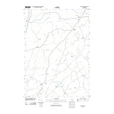 2010 Hartford2010 Print · USGSWashington County during the early twenty-first century remains a landscape of deep-rooted rural settlements and waterway corridors. Genealogists can trace family landmarks like the Adamsville Cemetery and McWhorters Orchard or the quiet roads through The Hook.
 - 2010 Map of Shelving Rock, 2010 Print
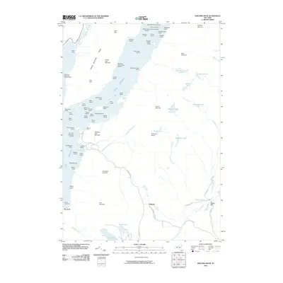 2010 Shelving Rock2010 Print · USGSLake George and the surrounding peaks are captured in this 2010 study of the eastern Adirondack shoreline. Trace the network of backcountry roads leading to Pilot Knob and Hogtown or explore the many islands like Sagamore Island.
 - 2010 Map of Lake George, 2010 Print
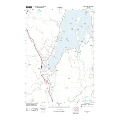 2010 Lake George2010 Print · USGSThe southern basin of the lake is captured here in the early twenty-first century, showing the established communities and shoreline of this famed Adirondack destination. Genealogists and researchers can trace local landmarks like Fort William Henry or explore the developed points of Cleverdale and Rockhurst.
 - 2010 Map of Fort Miller, 2010 Print
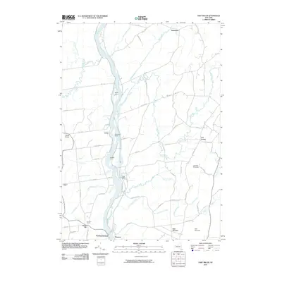 2010 Fort Miller2010 Print · USGSThe riverfront hamlets of the Hudson River valley are captured here just after the turn of the millennium. Local researchers can trace family lands near Fort Miller, identify rural burials at Bacon Hill Cemetery, and follow the winding course of Moses Kill.
 - 2010 Map of Fort Ann, 2010 Print
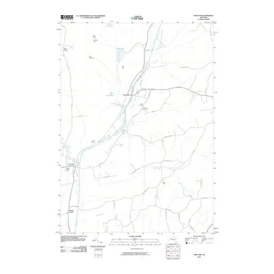 2010 Fort Ann2010 Print · USGSWashington County at the start of the 2010s shows a landscape deeply shaped by the historic Champlain Canal. Genealogists and local historians can trace family locations near Fort Ann Village Cemetery or identify early landmarks like Orebed Hill and Kane Falls.
 - 2010 Map of Silver Bay, 2010 Print
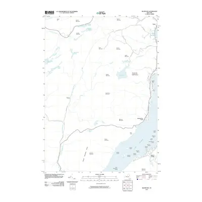 2010 Silver Bay2010 Print · USGSLake George's western shores and islands are meticulously documented in the early twenty-first century. Genealogists and historians can locate the Wardsboro Cemetery or trace the shoreline from Sabbath Day Point to the sheltered waters of Silver Bay.
 - 2010 Map of Putnam Mountain, 2010 Print
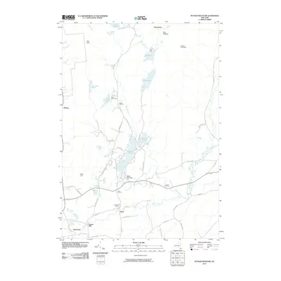 2010 Putnam Mountain2010 Print · USGSQueensbury and West Fort Ann are documented here in the early twenty-first century, showing a landscape defined by Adirondack foothills and historic rural industries. Genealogists and historians can locate the Iron Furnace, Pattens Mills, and several family burial grounds like Griswold Cemetery.
 - 2010 Map of Bolton Landing, 2010 Print
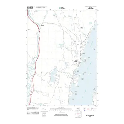 2010 Bolton Landing2010 Print · USGSThe western shores of Lake George are captured here in 2010, showing the well-developed waterfronts and the rugged interior ridges of Warren County. Genealogists and hikers can trace the roads to New Vermont Cemetery or explore the heights of Cat Mountain and Pilot Knob.
 - 2010 Map of Cossayuna, 2010 Print
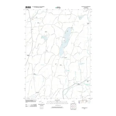 2010 Cossayuna2010 Print · USGSThe rural landscapes of Washington County are captured here in the early twenty-first century, centered on the waters of Cossayuna Lake. Researchers can trace local lineage through sites like Prospect Hill Cemetery or explore hamlets such as South Argyle and East Greenwich.
 - 2010 Map of Hudson Falls, 2010 Print
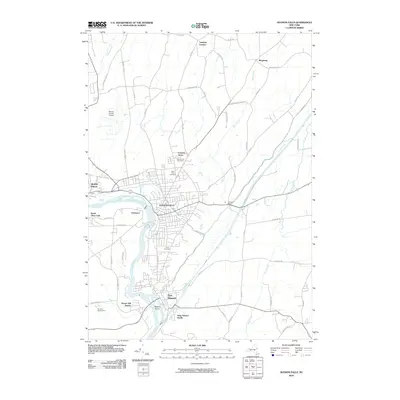 2010 Hudson Falls2010 Print · USGSThe Hudson River and the CHAMPLAIN CANAL define this region in the 2000s, anchoring the historic communities of Hudson Falls and Fort Edward. Trace local roots at Union Cemetery or explore landmarks like Rogers Island and Bakers Falls.
 - 2010 Map of Schuylerville, 2010 Print
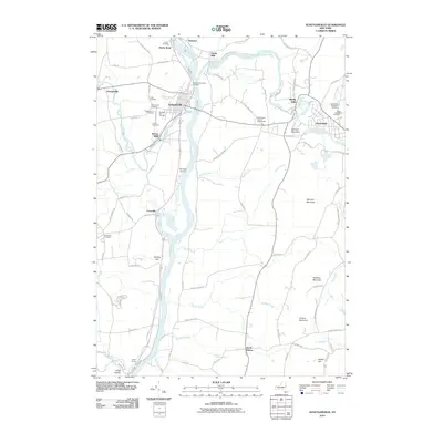 2010 Schuylerville2010 Print · USGSSchuylerville and the surrounding Hudson River valley appear here in the early twenty-first century, highlighting a landscape defined by river-mill heritage. Genealogists can trace family names through the North Broad Street Cemetery, Victory Cemetery, or Fairmount Cemetery.
 - 2010 Map of Mechanicville, 2010 Print
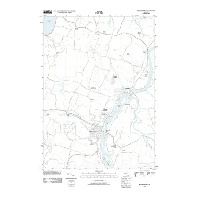 2010 Mechanicville2010 Print · USGSThe industrial riverfront at the confluence of the Hudson and Hoosic Rivers is mapped here in the early twenty-first century. Genealogists and historians can trace numerous burial sites such as Yellow Meeting House Cemetery and local rail history at Union Depot.
 - 2011 Map of Salem, 2011 Print
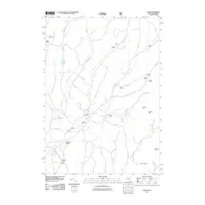 2011 Salem2011 Print · USGSSalem and the Batten Kill valley are captured in detail during the early twenty-first century, showing a landscape of deep-rooted settlements and rural hollows. Genealogists and historians can locate the Revolutionary War Cemetery, the historic Rexleigh Bridge, and the quiet community of West Hebron.
 - 2011 Map of Shushan, 2011 Print
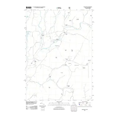 2011 Shushan2011 Print · USGSThe Shushan area and the borderlands of New York and Vermont are documented here in the early twenty-first century. Researchers can trace rural lineages through numerous family sites like Guber Farm Cemetery and the landmark Eagleville Covered Bridge.
 - 2011 Map of West Pawlet, 2011 Print
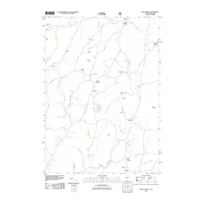 2011 West Pawlet2011 Print · USGSThe rural borderlands between New York and Vermont are captured here during a period of modern stability. Genealogists and local historians can trace legacy family sites across numerous burial grounds like Burch Cemetery and Glasier Cemetery or locate old industrial nodes at Chamberlin Mills.
 - 2011 Map of Hoosick Falls, 2011 Print
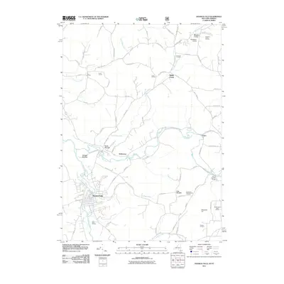 2011 Hoosick Falls2011 Print · USGSThe New York and Vermont borderlands come into focus in this recent survey of the Hoosick Valley. Local historians can trace the paths between Hoosick Falls and White Creek, locating sites like the Henry Covered Bridge and Quaker Cemetery.
 - 2011 Map of Orwell, 2011 Print
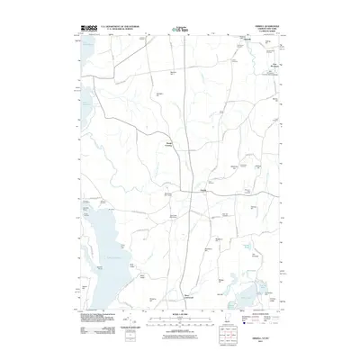 2011 Orwell2011 Print · USGSAgricultural life and lakefront commerce define the Orwell region in the early twenty-first century. Genealogists can locate family landmarks like the Rich Family Cemetery or the East Shoreham Covered Railroad Bridge, while mariners can trace the shoreline to Orwell Landing.
 - 2011 Map of Whitehall, 2011 Print
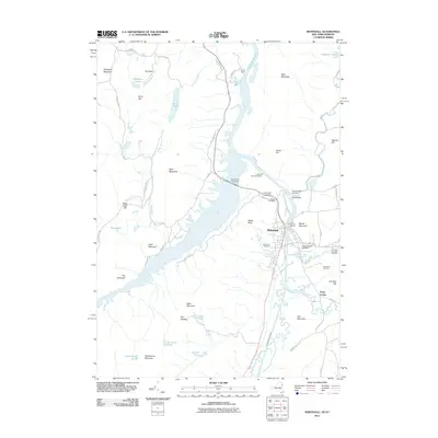 2011 Whitehall2011 Print · USGSThe canal-side village of Whitehall is captured here in the early twenty-first century as it sits at the head of Lake Champlain. Researchers can trace local lineage through several cemeteries, including Boardman Cemetery and Greenmont Cemetery, or locate old landmarks like Ore Bed Hill.
 - 2012 Map of Thorn Hill, 2012 Print
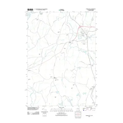 2012 Thorn Hill2012 Print · USGSThe New York and Vermont borderlands appear here in the early twenty-first century as a network of river-valley farms and high ridges. Genealogists can trace family names through numerous burial sites like Cedar Grove Cemetery, Sciota Cemetery, and the Hampton Flats Cemetery.
 - 2012 Map of Ticonderoga, 2012 Print
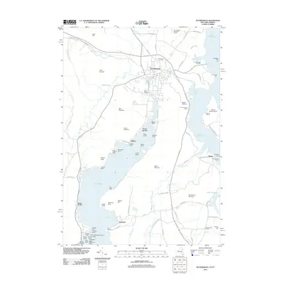 2012 Ticonderoga2012 Print · USGSTiconderoga and its surrounding lakeside settlements are captured here in the early twenty-first century as the historic gateway between two Great Lakes. Researchers can trace local landmarks like the Fort Ticonderoga Post Office, Ticonderoga Light, and Mount Hope Cemetery.
 - 2012 Map of Granville, 2012 Print
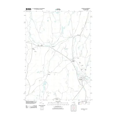 2012 Granville2012 Print · USGSThe Granville area at the start of the 2010s shows a landscape of river-valley hamlets and deep-rooted agricultural land. Genealogists can trace family names through several burial sites like Elmwood Cemetery and North Granville Cemetery or find Hicks Orchard.
 - 2012 Map of Putnam, 2012 Print
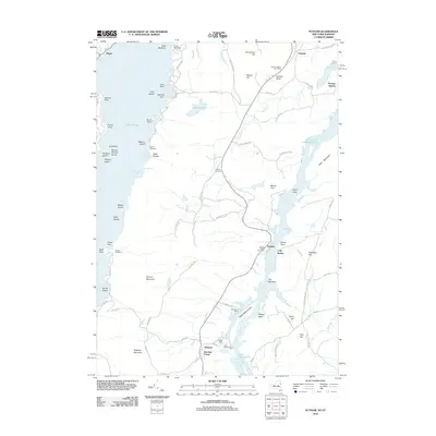 2012 Putnam2012 Print · USGSThe narrow land between Lake George and Lake Champlain is captured here in the early twenty-first century. Genealogists can locate family landmarks like Putnam Cemetery or trace the old routes of Military Rd and Doner Tpke.
Showing maps 1-25 of 108
Top cities of Washington County
- Kingsbury historical maps
- Granville historical maps
- Fort Edward historical maps
- Fort Ann historical maps
- Greenwich historical maps
- Whitehall historical maps
See more
Frequently asked questions
- What are the different types of historical maps available for Washington County?
- What is the oldest map of Washington County?
- Where can I purchase historical maps of Washington County for my home or office?
- Where can I download high-res historical maps of Washington County?
- Are there historical topographic maps available for Washington County?
- Is there historical aerial imagery available for Washington County?
- Where are historical maps of Washington County sourced from?