Old Maps of Angier, North Carolina for Genealogy
Trace your family roots with 34 historic maps of Angier. These high-res maps reveal old neighborhoods, homesites, landmarks, and streets — helping you uncover where your ancestors lived and how the area evolved over time.
- Explore historic neighborhoods: Identify where your relatives may have lived in the 1800s or 1900s.
- Compare maps over time: Trace the changes in streets, buildings, and landmarks for multi-generational research.
- Perfect for genealogy & ancestry research: Used by family historians and researchers to map out lineage and migration.
These maps are an incredible resource for exploring your personal connection to Angier's past.
Angier, NC maps
(34)- 1953 Map of Raleigh, 1965 Print
 1953 Raleigh1965 Print · USGSCentral North Carolina in the early sixties shows a landscape of growing towns and military hubs before the full expansion of the interstate system. Genealogists can trace family footprints across the Piedmont through Wake Forest, Siler City, and the large Fort Bragg Military Reservation.4 unique versions available
 - 1954 Map of Raleigh
 1954 Raleigh1954 Print · USGSThe North Carolina Piedmont and Sandhills are captured in the mid-fifties during a period of steady regional growth. Genealogists and historians can trace the development of towns like Siler City or locate landmarks such as Falls of Neuse and Camp Mackall.
 - 1964 Map of Angier, 1965 Print
 1964 Angier1965 Print · USGSAngier and the surrounding tobacco-farming country appear here in the mid-1960s at the junction of three counties. Genealogists and researchers can trace local family roots through numerous cemeteries and country churches like St Ann Ch, Fellowship Ch, and Ogburn Crossroads.3 unique versions available
 - 1964 Map of Garner, 1965 Print
 1964 Garner1965 Print · USGSThe rural landscapes south of Raleigh were transitioning from farm to suburb in the mid-sixties. Researchers can trace family roots at numerous country churches like Wooten Chapel Ch or locate sites such as McCullers, Willow Springs, and the historic McGee Mill.
 - 1973 Map of Coats, 1975 Print
 1973 Coats1975 Print · USGSHarnett County in the early seventies shows a landscape of small farming communities and academic growth centered around Campbell College. Genealogists and historians can trace the paths of the Durham and Southern line or locate rural landmarks like Barclaysville and Bethel Ch.3 unique versions available
 - 1974 Map of Fuquay-Varina, 1977 Print
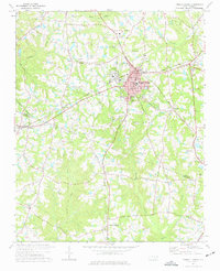 1974 Fuquay-Varina1977 Print · USGSThe intersection of the Durham and Norfolk Southern rail lines defines the Wake and Harnett county border in the mid-1970s. Local historians can trace the foundations of Fuquay-Varina and outlying communities like Chalybeate Springs, Wilbon, and Rawls.3 unique versions available
 - 1978 Map of Lillington
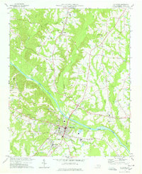 1978 Lillington1978 Print · USGSHarnett County during the late seventies centers on the river-and-rail corridor connecting Lillington to the rural north. Genealogists and local historians can trace legacy sites like Bethlehem Ch, Shawtown, and the Harnett Memorial Cem.2 unique versions available
 - 1984 Map of Raleigh, 1985 Print
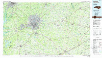 1984 Raleigh1985 Print · USGSThe North Carolina Research Triangle is shown during a decade of rapid growth, from the sprawl of Raleigh to the expanding waters of Falls Lake. Genealogists and historians can trace rail lines like the Seaboard Coast Line or locate landmark sites like Dorothea Dix State Hospital and Fuquay-Varina.
 - 1986 Map of Fayetteville
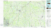 1986 Fayetteville1986 Print · USGSThe North Carolina coastal plain appears in the mid-1980s as a bustling corridor of military installations and historic tobacco towns. Genealogists and historians can trace the footprints of Fort Bragg Military Reservation, Campbell University, and the rail lines of the Seaboard Coast Line RR.2 unique versions available
 - 1990 Map of Raleigh, 1991 Print
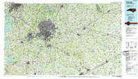 1990 Raleigh1991 Print · USGSGreater Raleigh and the Research Triangle entered a period of significant suburban growth during the 1990s. Researchers can trace the development of towns like Fuquay-Varina and Wake Forest or locate landmarks such as the State Prison and Harris Reservoir.2 unique versions available
 - 1993 Map of Angier, 1998 Print
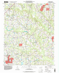 1993 Angier1998 Print · USGSThe borderlands of Wake, Johnston, and Harnett counties are shown here in the 1990s as the area transition toward modern growth. Genealogists can locate family landmarks like Wooten Chapel Cem, Sandy Grove Ch, and the Triple W Air Park.
 - 1993 Map of Fuquay-Varina, 1999 Print
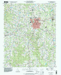 1993 Fuquay-Varina1999 Print · USGSSouthern Wake County is captured in the early nineties as the communities of Fuquay-Varina and Holly Springs began their modern expansion. Genealogists and local historians can locate rural landmarks like Chalybeate Springs, Rawls, and Greenlawn Memorial Gardens.
 - 1997 Map of Coats, 2000 Print
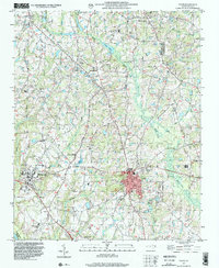 1997 Coats2000 Print · USGSCoastal plain settlements in Harnett and Johnston counties show a mix of rural tradition and late-twentieth-century growth. Researchers can trace family history through numerous rural cemeteries and local congregations like Plainview Ch, or locate old landmarks such as Popes Lake and Barclaysville.
 - 1997 Map of Lillington, 2000 Print
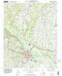 1997 Lillington2000 Print · USGSLillington and the central Harnett County countryside are captured in the late nineties, documenting the area's growth along the Cape Fear River. Researchers can locate several community anchors including Shawtown, Harnett Central High School, and family landmarks like Olive Branch Cem.
 - 2010 Map of Lillington, 2010 Print
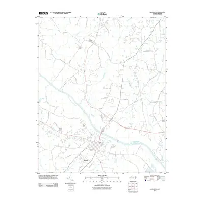 2010 Lillington2010 Print · USGSHarnett County enters the modern era as the town of Lillington thrives along the banks of the Cape Fear River. Researchers can trace local genealogy through sites like Smith Cemetery and Johnson Cemetery, or locate landmarks like Tirzah Airport.
 - 2010 Map of Coats, 2010 Print
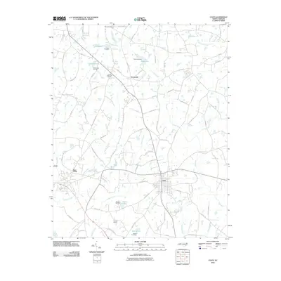 2010 Coats2010 Print · USGSHarnett County enters the twenty-first century with its rural heritage and water-managed landscapes intact. Genealogists and local historians can trace family locations near Johnson Cemetery, follow the path of the Black River, or locate the historic site of Barclaysville.
 - 2010 Map of Angier, 2010 Print
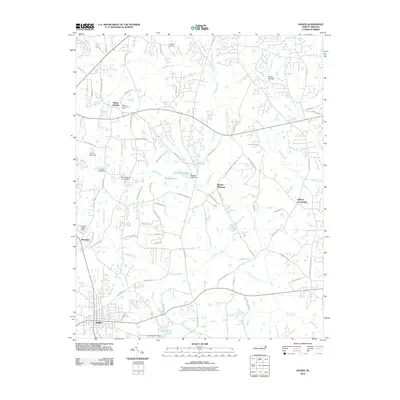 2010 Angier2010 Print · USGSThe crossroads and creeks between Fuquay-Varina and Angier are captured here during a period of steady rural growth. Researchers can trace family-named landmarks and small communities like Willow Springs, Ogburn Crossroads, and the aviation history at Triple W Air Park.
 - 2010 Map of Fuquay-Varina, 2010 Print
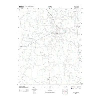 2010 Fuquay-Varina2010 Print · USGSWake and Harnett Counties at the start of the 21st century show a landscape of expanding communities and persistent rural hamlets. Researchers can trace the development of Fuquay-Varina and find historic sites like Chalybeate Springs and Greenlawn Memorial Gardens.
 - 2013 Map of Lillington, 2013 Print
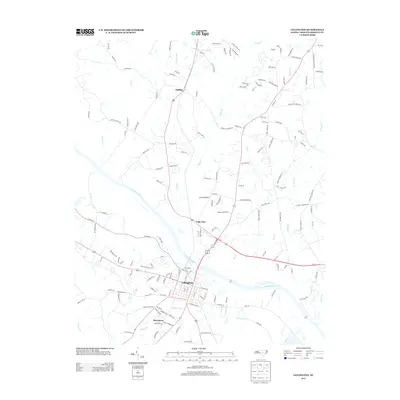 2013 Lillington2013 Print · USGSHarnett County enters the 2010s with a mix of traditional river-town life and expanding rural residential pockets. Researchers can trace the layout of Lillington and find smaller communities like Kipling and Shawtown along the path of the Cape Fear River.
 - 2013 Map of Coats, 2013 Print
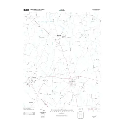 2013 Coats2013 Print · USGSHarnett County enters the second decade of the millennium as a blend of rural crossroads and growing collegiate and aviation hubs. Genealogists and local historians can trace family-named water bodies and airstrips like Gregorys Lake, Popes Lake, and Barclaysville Field Airport.
 - 2013 Map of Angier, 2013 Print
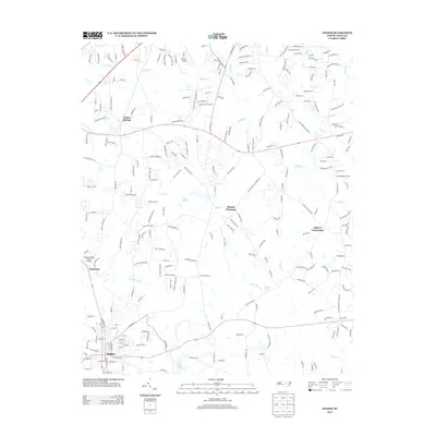 2013 Angier2013 Print · USGSThe crossroads and rural communities of southern Wake County are captured here in the early twenty-first century. Researchers can trace historic routes like Old Stage Rd and locate family landmarks near Willow Springs, Mount Pleasant, and Holts Pond.
 - 2013 Map of Fuquay-Varina, 2013 Print
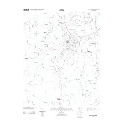 2013 Fuquay-Varina2013 Print · USGSWake County's southern corridor comes into focus in this early twenty-first-century survey of the growing Fuquay-Varina area. Genealogists and local historians can trace modern developments back to established rural hubs like Wilbon, Rawls, and Chalybeate Springs.
 - 2016 Map of Lillington, 2016 Print
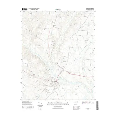 2016 Lillington2016 Print · USGSThe bend of the Cape Fear River in the mid-2010s reveals a detailed landscape of established North Carolina towns and rural cemeteries. Genealogists can trace family locations near Shawtown, Kipling, and burial sites like Olive Branch Cem.
 - 2016 Map of Fuquay-Varina, 2016 Print
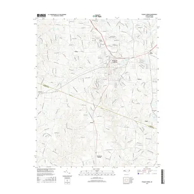 2016 Fuquay-Varina2016 Print · USGSThe transition from rural agriculture to modern residential expansion in the Piedmont is clear in this survey of the mid-2010s. Researchers can trace the development of Fuquay-Varina and Angier alongside local landmarks like Greenlawn Memorial Gardens and Ballentine Dairy.
 - 2016 Map of Angier, 2016 Print
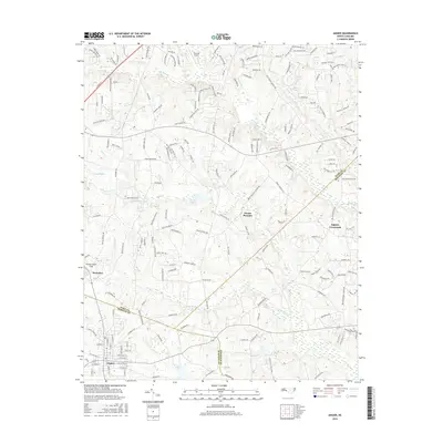 2016 Angier2016 Print · USGSThe crossroads and county lines of the Research Triangle’s southern fringe are captured here during a period of rapid residential growth. Local researchers can trace family lands near Angier or locate landmarks like Triple W Airport and Ogburn Crossroads.
Showing maps 1-25 of 34
Top cities near Angier
- Raleigh historical maps
- Cary historical maps
- Apex historical maps
- Fuquay-Varina historical maps
- Clayton historical maps
- Garner historical maps
See more
Top neighborhoods of Angier
Frequently asked questions
- What are the different types of historical maps available for Angier?
- What is the oldest map of Angier?
- Where can I purchase historical maps of Angier for my home or office?
- Where can I download high-res historical maps of Angier?
- Are there historical topographic maps available for Angier?
- Is there historical aerial imagery available for Angier?
- Where are historical maps of Angier sourced from?