2000s (21st Century) Maps of Anson County, North Carolina
Explore 91 historic maps of Anson County from the 2000s (21st Century). These maps offer a rare glimpse into what life looked like during the 2000s — showing old roads, neighborhoods, homes, and landmarks that have changed or disappeared over time.
Whether you're researching your family's past, planning a metal detecting trip, or studying how Anson County's landscape evolved across the 2000s, these high-resolution maps are a powerful tool for exploring the history of this region.
- Focus on a specific era: All maps on this page are from the 2000s, giving you a focused view of this time period.
- See what’s changed: Compare century-old streets, trails, and buildings to today's modern landscape using overlays and satellite layers.
- Research with precision: Use these maps for genealogy, historical research, land use analysis, or educational projects.
- View, download, or print: Maps are fully viewable online in high resolution, and can be downloaded or printed for your own records.
Start exploring Anson County's history through authentic maps from the 2000s. This is your window into the past.
Anson County, NC maps
(91)- 2002 Map of Mangum
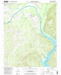 2002 Mangum2002 Print · USGSThe Pee Dee River basin at the Anson and Richmond county line shows a landscape shaped by river transport and rural community life. Genealogists and local historians can trace family roots through numerous sites like Hebron Ch, Ingram Sch, and the historical Old Stanback Ferry.
 - 2002 Map of Aquadale, 2003 Print
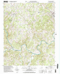 2002 Aquadale2003 Print · USGSThe Piedmont landscape of Stanly and Anson counties is shown here at the turn of the millennium, following the winding course of the Rocky River. Genealogists and historians can trace community life through numerous rural landmarks like Rehobeth Ch, Poplar Springs Ch, and the settlement at Cottonville.
 - 2002 Map of Mount Gilead West, 2003 Print
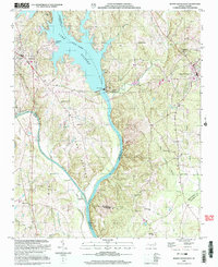 2002 Mount Gilead West2003 Print · USGSThe Pee Dee River corridor at the turn of the millennium shows a landscape defined by its hydroelectric infrastructure and rural crossroads. Local researchers can trace family landmarks and community centers such as Bethel Ch, Melton Grove, and St Lukes Ch across four adjoining counties.
 - 2002 Map of Marshville, 2003 Print
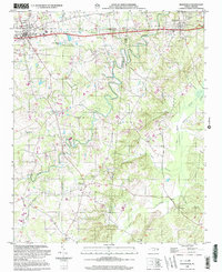 2002 Marshville2003 Print · USGSMarshville and the surrounding Piedmont countryside are captured here at the start of the new millennium. Researchers can trace rural life through landmarks like Sturdivants Crossroads, White Store, and the many local congregations including Gilboa Ch.
 - 2002 Map of Wadesboro, 2003 Print
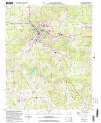 2002 Wadesboro2003 Print · USGSAnson County at the turn of the millennium shows the enduring rural character of its settlements and the growth of the county seat. Genealogists and local historians can trace the locations of numerous landmarks including East View Cem, Gatewood Sta Ch, and the outlying Wade Mills.
 - 2002 Map of Russellville, 2003 Print
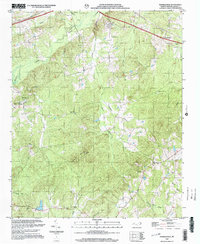 2002 Russellville2003 Print · USGSAnson County at the turn of the millennium retains its deep-rooted rural character, defined by creek-side settlements and country churches. Genealogists and historians can locate Polkton, the State Prison Camp, and several landmarks like Unity Chapel and Poplar Hill Ch.
 - 2010 Map of Lilesville, 2010 Print
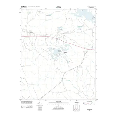 2010 Lilesville2010 Print · USGSAnson County at the start of the 2010s shows a landscape deeply shaped by the Pee Dee River and local industry. Researchers can trace the development of rural communities like Lilesville and Cairo, or locate industrial landmarks such as the Blewett Falls Dam and B V Hedrick Sand and Gravel Lake.
 - 2010 Map of Rockingham, 2010 Print
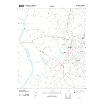 2010 Rockingham2010 Print · USGSRockingham and the industrial corridor of Richmond County are shown here in the first decade of the millennium. Researchers can trace local development across neighborhoods like West Rockingham and Cordova or find ancestral sites at Northan Cemetery.
 - 2010 Map of Polkton, 2010 Print
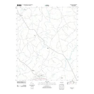 2010 Polkton2010 Print · USGSAnson County is shown here in the early 2000s, characterized by the dense creek networks and crossroads hamlets that define this portion of North Carolina. Genealogists can trace family sites like the Richmond-Sturdivant Cemetery or locate historic rural centers such as Sugar Town and Griffins Crossroads.
 - 2010 Map of Oakboro, 2010 Print
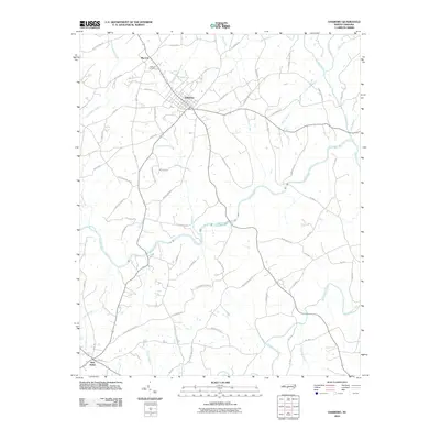 2010 Oakboro2010 Print · USGSOakboro and the surrounding Stanly County countryside are captured here in the early twenty-first century as the rural landscape balances tradition and growth. Genealogists and local historians can trace family-named routes and landmarks from Big Lick down to New Salem, including the Oakboro Cemetery and the winding course of the Rocky River.
 - 2010 Map of Mount Gilead West, 2010 Print
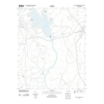 2010 Mount Gilead West2010 Print · USGSThe riverfront communities of Stanly and Montgomery Counties are captured here at the dawn of the 2010s. Researchers can trace land tracts near Norwood and Mount Gilead or locate rural landmarks like Shankle, Buzzard Island, and the Norwood Dam.
 - 2010 Map of Aquadale, 2010 Print
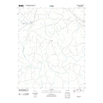 2010 Aquadale2010 Print · USGSStanly County at the start of the 2010s is characterized by its creek-fed bottomlands and the rural crossroads of Aquadale and Cottonville. Researchers can trace the path of the Rocky River or locate historic transit points like Gaddy's Ferry Rd and the Long Branch Reservoir.
 - 2010 Map of Olive Branch, 2010 Print
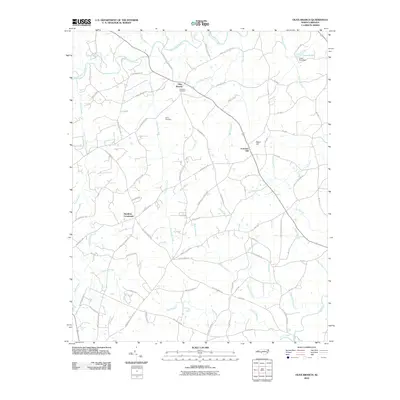 2010 Olive Branch2010 Print · USGSThis rural portion of Anson County at the start of the 2010s reveals a landscape defined by historic crossroads and creek-side settlements. Genealogists can locate family landmarks such as Baucoms Cemetery or trace old routes like Old Goldmine Rd and Jerusalem Church Rd.
 - 2010 Map of Ansonville, 2010 Print
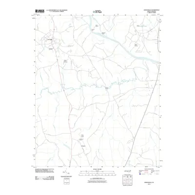 2010 Ansonville2010 Print · USGSAnson County is shown here in the early twenty-first century as the Pee Dee River winds past historic ferry sites and rural crossroads. Researchers can trace the heritage of Ansonville through landmarks like Bethlehem Cemetery and the Old Leak Ferry river crossing.
 - 2010 Map of Mangum, 2010 Print
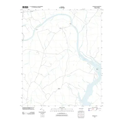 2010 Mangum2010 Print · USGSThe Pee Dee River basin at the turn of the decade shows a landscape of traditional river crossings and small Piedmont settlements. Genealogists and local historians can trace the locations of Old Smith Ferry, Old Stanback Ferry, and landmarks like Ingram Mountain.
 - 2010 Map of Wadesboro, 2010 Print
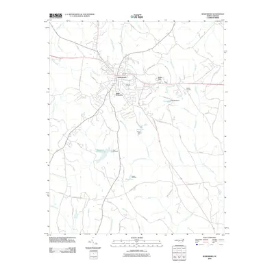 2010 Wadesboro2010 Print · USGSAnson County is shown in detail during the early 21st century, centered on the growth of Wadesboro. Researchers can trace local lineages and landmarks from Wade Mills and East View Cemetery to the various reservoirs like Lake Maree.
 - 2010 Map of Marshville, 2010 Print
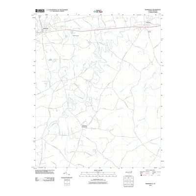 2010 Marshville2010 Print · USGSThe area surrounding Marshville and Peachland is captured here during a period of steady rural development. Genealogists and local historians can trace family-named routes and landmarks like Sturdivants Crossroads, Pine View Cemetery, and Huggins Dairy Rd.
 - 2010 Map of Russellville, 2010 Print
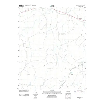 2010 Russellville2010 Print · USGSAnson County at the dawn of the 2010s remains a landscape of quiet crossroads and family-named water bodies. Local historians can trace the rural road networks connecting Russellville and Mineral Springs or locate topographic landmarks like Gordon Mountain and Becky Hill.
 - 2011 Map of Morven East, 2011 Print
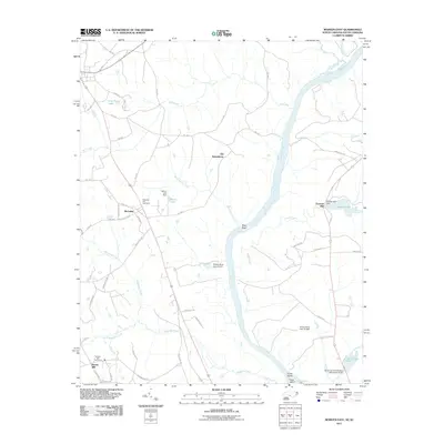 2011 Morven East2011 Print · USGSThe Pee Dee River corridor along the North and South Carolina border comes into focus in this recent survey. Local historians can trace the foundations of the regional economy through sites like Everetts Mill, Brocks Mill, and the historic area of Old Sneedsboro.
 - 2011 Map of Hornsboro, 2011 Print
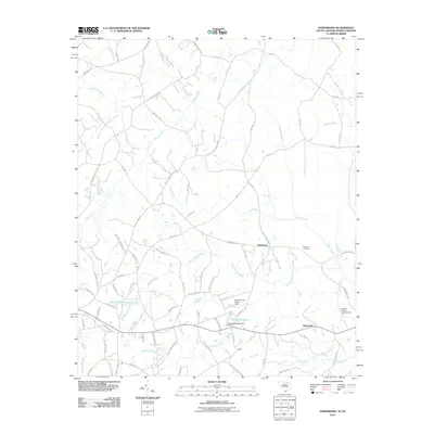 2011 Hornsboro2011 Print · USGSThe rural borderlands of South Carolina and North Carolina are mapped here in the early twenty-first century, showing a landscape of scattered hamlets and family farm roads. Researchers can locate the Antioch Cemetery and trace local landmarks like Hutsey Millpond, Hornsboro, and the banks of Stone House Creek.
 - 2011 Map of Mount Croghan, 2011 Print
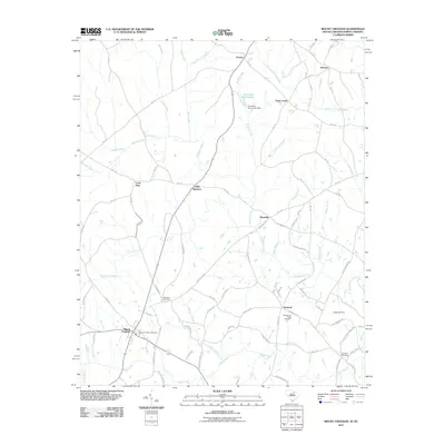 2011 Mount Croghan2011 Print · USGSMount Croghan and the surrounding Chesterfield County countryside are captured here in the early 2000s, showing a landscape of scattered settlements and winding creeks. Researchers can trace local heritage through several burial sites like Elizabeth Cemetery and rural centers such as Wexford and Maysville.
 - 2011 Map of Morven West, 2011 Print
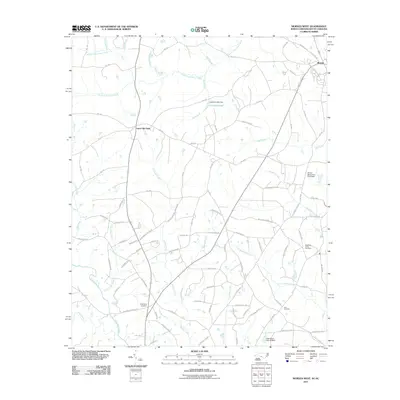 2011 Morven West2011 Print · USGSThe rural outskirts of Morven and the Anson County countryside are captured here in the early twenty-first century. Researchers can trace family history through several burial grounds and community sites, such as Zoar Cemetery, Westfield Church, and Cason Old Field.
 - 2011 Map of Diggs, 2011 Print
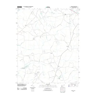 2011 Diggs2011 Print · USGSThe rural border country of South Carolina and North Carolina is documented here during the early twenty-first century. Genealogists and historians can trace family ties through Saint Stephens Cemetery, the Ballast Ridge Lookout Tower, and small communities like Osborne and Fulton.
 - 2013 Map of Mangum, 2013 Print
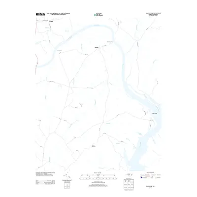 2013 Mangum2013 Print · USGSThe Pee Dee River corridor near Ingram and Mangum is captured here in the early twenty-first century, showing a landscape shaped by ancient river crossings. Researchers can locate historic transit points like Old Smith Ferry and Old Stanback Ferry or trace the drainage of Turkey Top Cr near Ingram Mountain.
 - 2013 Map of Rockingham, 2013 Print
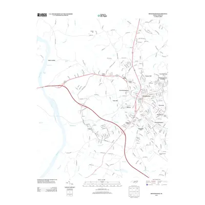 2013 Rockingham2013 Print · USGSModern Rockingham and the banks of the Pee Dee River are captured in this recent survey of Richmond County. Genealogists can trace family connections through named neighborhoods like Honey Town and Bunker Hill, or locate the Thompson Farm and Walls Landing.
Showing maps 1-25 of 91
Top cities of Anson County
- Wadesboro historical maps
- Polkton historical maps
- Ansonville historical maps
- Morven historical maps
- Peachland historical maps
- Lilesville historical maps
See more
Frequently asked questions
- What are the different types of historical maps available for Anson County?
- What is the oldest map of Anson County?
- Where can I purchase historical maps of Anson County for my home or office?
- Where can I download high-res historical maps of Anson County?
- Are there historical topographic maps available for Anson County?
- Is there historical aerial imagery available for Anson County?
- Where are historical maps of Anson County sourced from?