Old Maps of Pole Creek, North Carolina for Academic Research
Study the evolution of Pole Creek with 18 high-resolution historic maps. Whether you're teaching, researching, or modeling changes in land use, these maps provide essential visual documentation of urban, environmental, and geographic change.
- Analyze long-term change: Track patterns in development, transportation, and natural features.
- Ideal for environmental or urban studies: Support academic projects with primary historical map data.
- Use in the classroom or lab: Educators and researchers rely on these maps to bring historical context to life.
These maps are a powerful tool for teaching, research, and visualizing how Pole Creek has changed over the decades.
Pole Creek, NC maps
(18)- 1894 Map of Asheville
 1894 Asheville1894 Print · USGSAsheville and the French Broad River valley are shown here in the 1890s, when rail travel was transforming the Southern Appalachians. Genealogists can locate family landmarks like Gudgers Mill, Pendletons Mill, and the early development of Biltmore.2 unique versions available
 - 1901 Map of Asheville
 1901 Asheville1901 Print · USGSWestern North Carolina at the turn of the century shows a mountain landscape adapting to the arrival of major railroads. Genealogists and historians can trace family-named peaks and early communities like Mars Hill, Hot Springs, and the estates at Biltmore.9 unique versions available
 - 1936 Map of Enka
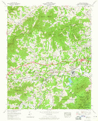
 1936 Enka1936 Print · USGSMid-1930s Buncombe County comes into focus as the Hominy Creek valley begins its industrial transformation. Genealogists and local historians can trace the foundations of Enka, Candler, and vanished landmarks like the Pisgah Industrial Institute and Lake Ashnoca.
 - 1941 Map of Enka, 1956 Print
 1941 Enka1956 Print · USGSWestern North Carolina's industrial and rural heart comes into focus during the early 1940s, centered on the growth of Enka and its namesake lake. Genealogists and historians can trace family roots through old landmarks like Jugtown, Grace Chapel, and Hice Hill Cem.
 - 1942 Map of Enka
 1942 Enka1942 Print · USGSBuncombe County's industrial and rural heart comes alive during the early 1940s, showing the development of Enka Village and the Southern rail line. Genealogists can trace family roots through the Cole Cem, Pisgah Industrial Institute, and dozens of landmarks like Sulphur Springs.2 unique versions available
 - 1955 Map of Knoxville
 1955 Knoxville1955 Print · USGSThe Southern Appalachians and the Smoky Mountains are shown here at a peak of mid-century development and conservation. Genealogists and historians can trace the early road networks connecting Gatlinburg, Waynesville, and the Cherokee Indian Reservation across the high ridges.
 - 1957 Map of Knoxville, 1966 Print
 1957 Knoxville1966 Print · USGSThe Southern Appalachians of Tennessee and North Carolina are mapped here during the mid-twentieth century as new highways reached the high country. Genealogists and historians can trace the topography between Knoxville and Asheville, locating family landmarks near Fontana Lake or along the Blue Ridge Parkway.4 unique versions available
 - 1960 Map of Knoxville
 1960 Knoxville1960 Print · USGSThe Southern Appalachians come alive in the 1950s, showing the intersection of new national park tourism and deep-rooted mountain industry. Trace old rail lines like the Clinchfield RR and find high-altitude landmarks from Mt Le Conte to the Cherokee Indian Reservation.2 unique versions available
 - 1961 Map of Enka, 1965 Print
 1961 Enka1965 Print · USGSWestern Buncombe County appears in the early sixties as a mix of industrial activity and mountain settlements. Genealogists can trace family names across Starnes Ridge and find local landmarks like Enka Village and Zion Hill Ch.4 unique versions available
 - 1964 Map of Knoxville
 1964 Knoxville1964 Print · USGSThe Southern Appalachians and Great Smokies are captured here during the mid-sixties, showing the rugged borderlands of Tennessee and North Carolina. Researchers can trace historic mountain routes like U S 441, the expanse of Pisgah National Forest, and the growing footprints of Asheville and Knoxville.
 - 1976 Map of Enka, 1979 Print
 1976 Enka1979 Print · USGSAsheville and the surrounding Buncombe County valleys are seen in the mid-seventies just as modern infrastructure was reshaping the landscape. Researchers can trace land use patterns near Enka Lake and the settlements of Candler and Enka.
 - 1985 Map of Asheville
 1985 Asheville1985 Print · USGSWestern North Carolina during the mid-eighties shows a region of deep mountain heritage and expanding highway networks. Genealogists and historians can trace the foundations of Asheville alongside older rail corridors like the Clinchfield Railroad and the high elevations of Mount Mitchell.2 unique versions available
 - 1998 Map of Enka, 2001 Print
 1998 Enka2001 Print · USGSBuncombe County at the close of the twentieth century shows a blend of mountain wilderness and growing industrial settlements. Genealogists can trace family sites at Forest Lawn Cem and Hice Hill Cem or locate community hubs like Enka Village and Justice.
 - 2011 Map of Enka, 2011 Print
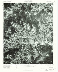
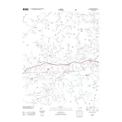
 2011 Enka2011 Print · USGSCovers Pole Creek, including Asheville, Bent Creek, and other nearby areas
 - 2013 Map of Enka, 2013 Print
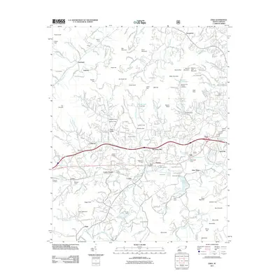
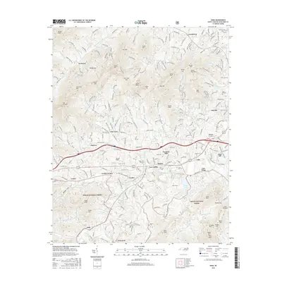
 2013 Enka2013 Print · USGSCovers Pole Creek, including Asheville, Bent Creek, and other nearby areas
 - 2016 Map of Enka, 2016 Print
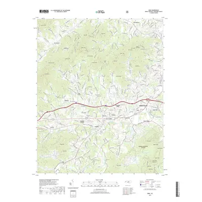
 2016 Enka2016 Print · USGSCovers Pole Creek, including Asheville, Bent Creek, and other nearby areas
 - 2019 Map of Enka, 2019 Print
 2019 Enka2019 Print · USGSCovers Pole Creek, including Asheville, Bent Creek, and other nearby areas
 - 2022 Map of Enka, 2022 Print
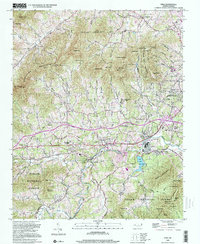
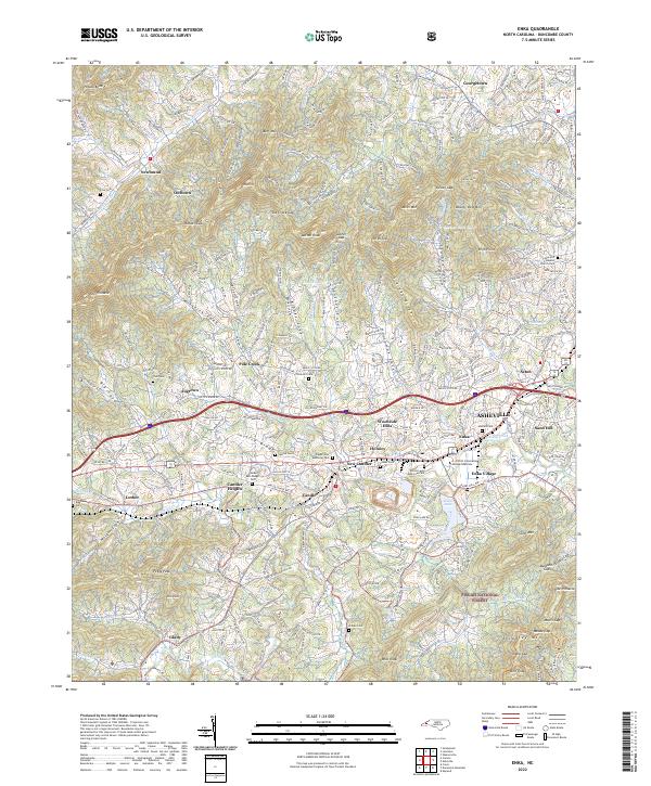 2022 Enka2022 Print · USGSWestern Buncombe County appears in high detail during the early 2020s, showing the intersection of Appalachian terrain and urban growth. Local researchers can trace family roots through Cole Cem and Trull Cem or explore the history of Enka Village.
End of results
Showing maps 1-18 of 18
Top cities near Pole Creek
- Asheville historical maps
- Hendersonville historical maps
- Fletcher historical maps
- Mills River historical maps
- Royal Pines historical maps
- Canton historical maps
See more
Frequently asked questions
- What are the different types of historical maps available for Pole Creek?
- What is the oldest map of Pole Creek?
- Where can I purchase historical maps of Pole Creek for my home or office?
- Where can I download high-res historical maps of Pole Creek?
- Are there historical topographic maps available for Pole Creek?
- Is there historical aerial imagery available for Pole Creek?
- Where are historical maps of Pole Creek sourced from?