2020s Maps of Carteret County, North Carolina
Explore 28 historic maps of Carteret County from the 2020s. These maps offer a rare glimpse into what life looked like during the 2020s — showing old roads, neighborhoods, homes, and landmarks that have changed or disappeared over time.
Whether you're researching your family's past, planning a metal detecting trip, or studying how Carteret County's landscape evolved across the 2020s, these high-resolution maps are a powerful tool for exploring the history of this region.
- Focus on a specific era: All maps on this page are from the 2020s, giving you a focused view of this time period.
- See what’s changed: Compare century-old streets, trails, and buildings to today's modern landscape using overlays and satellite layers.
- Research with precision: Use these maps for genealogy, historical research, land use analysis, or educational projects.
- View, download, or print: Maps are fully viewable online in high resolution, and can be downloaded or printed for your own records.
Start exploring Carteret County's history through authentic maps from the 2020s. This is your window into the past.
Carteret County, NC maps
(28)- 2022 Map of Masontown, 2022 Print
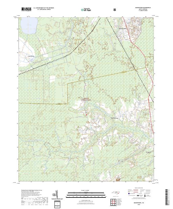 2022 Masontown2022 Print · USGSThe coastal wetlands and managed forests between Havelock and Newport are documented here in the early 2020s. Genealogists and local historians can trace the rural tracts along Bell-Farm Rd, the edges of Croatan National Forest, and landmarks like Circle P Farm Airport.
 - 2022 Map of Stella, 2022 Print
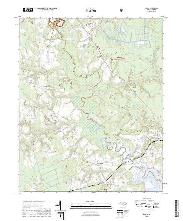 2022 Stella2022 Print · USGSCoastal North Carolina's riverine landscape is showcased here in the early twenty-first century as the White Oak River meanders toward the coast. Genealogists and local historians can locate small settlements like Silverdale and Stella, or trace family sites like the Riggs / Jones Cem.
 - 2022 Map of Hadnot Creek, 2022 Print
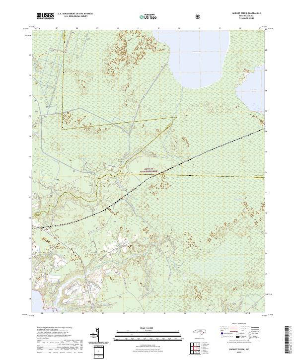 2022 Hadnot Creek2022 Print · USGSCoastal Carteret County meets the vast woods of the Croatan National Forest in this modern survey of the North Carolina tidewater. Researchers can trace rural property access along Hadnot Farm Rd or explore the wilderness boundaries near Great Lake and Lakes Pocosin.
 - 2022 Map of Harkers Island, 2022 Print
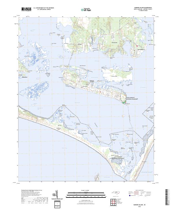 2022 Harkers Island2022 Print · USGSThe coastal waters and traditional maritime villages of Carteret County are shown here in the 2020s as modern life intersects with the Outer Banks. Genealogists and historians can trace family-named roads in Gloucester or locate the Victoria Cem near Marshallberg.
 - 2022 Map of Core Creek, 2022 Print
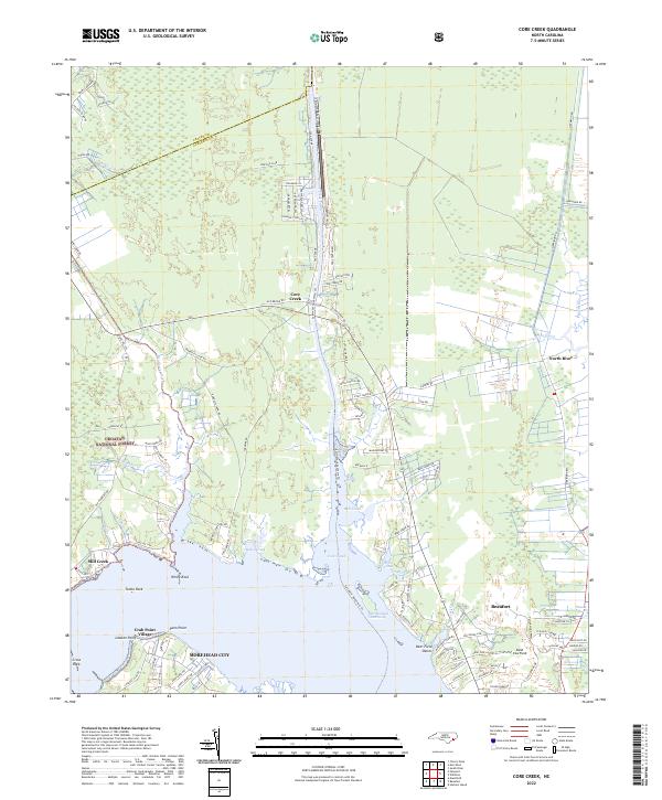 2022 Core Creek2022 Print · USGSCoastal Carteret County is mapped here during a period of modern residential growth alongside protected wilderness and vital maritime channels. Genealogists and researchers can locate landmarks like Hardesty Cemetery Rd and maritime settlements including Crab Point Village and Mill Creek.
 - 2022 Map of Swansboro, 2022 Print
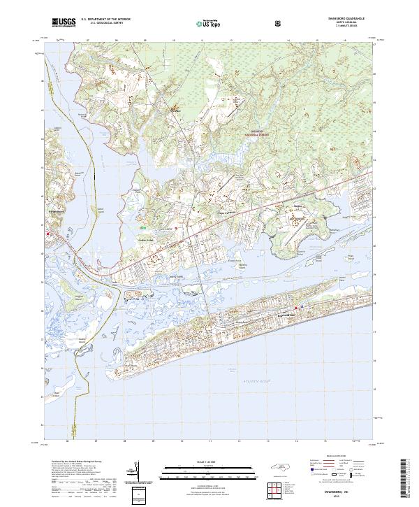 2022 Swansboro2022 Print · USGSThe Onslow and Carteret County coastline comes into sharp focus in the early 2020s, where the White Oak River meets the sound. Trace the development of Cape Carteret and Emerald Isle alongside the massive Croatan National Forest.
 - 2022 Map of Hubert, 2022 Print
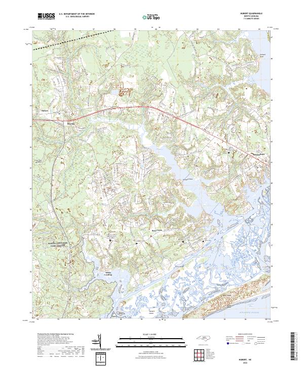 2022 Hubert2022 Print · USGSThe Onslow County coast near Hubert and Swansboro is mapped here in the early twenty-first century, showing the enduring maritime character of the region. Local historians can trace family ties at the Burn Family Cem, Campbell Cem, and the Oak Grove United Methodist Church.
 - 2022 Map of Cape Lookout, 2022 Print
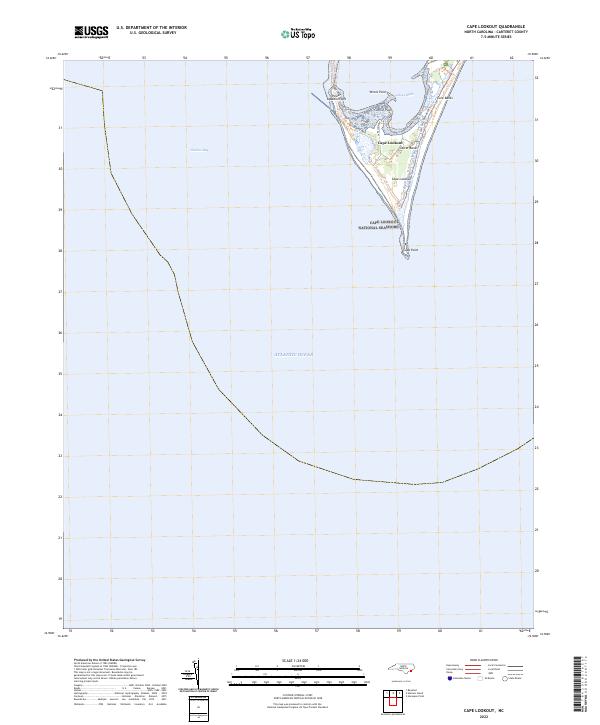 2022 Cape Lookout2022 Print · USGSThe Southern Outer Banks of North Carolina appear here in their modern form within the Cape Lookout National Seashore. Researchers can trace the fragile barrier island geography from Power Squadron Spit to the historic structures at Cape Lookout.
 - 2022 Map of Atlantic, 2022 Print
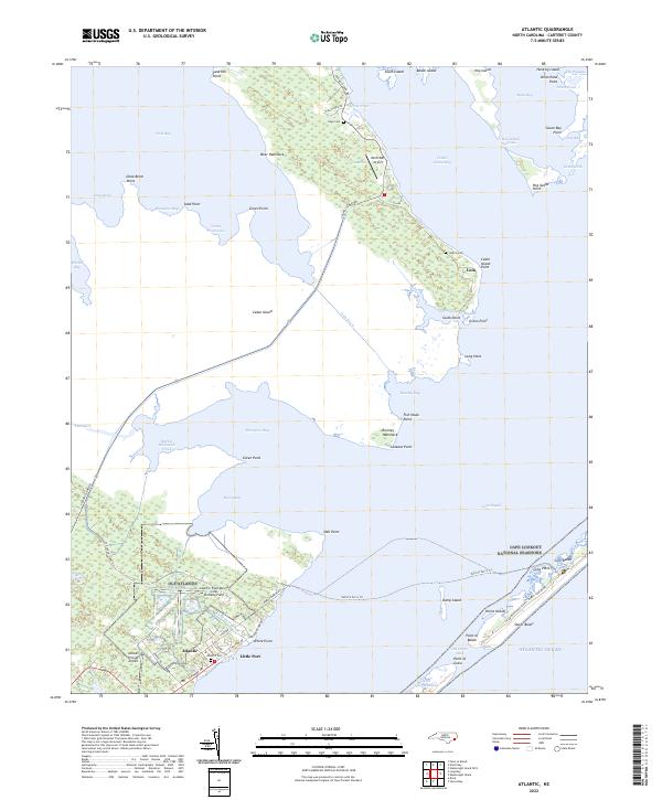 2022 Atlantic2022 Print · USGSThe coastal waters of Core Sound and West Bay define this Carteret County landscape in the early twenty-first century. Researchers can trace the maritime footprint of Atlantic and Lola, or locate family sites at Atlantic Cem and the Lupton Cemetery.
 - 2022 Map of Beaufort, 2022 Print
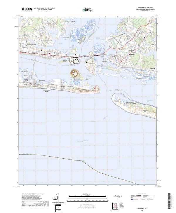 2022 Beaufort2022 Print · USGSCoastal Carteret County is mapped here in the early 2020s, showing the modern layout of these historic maritime communities. Researchers can trace the boundaries of the Cape Lookout National Seashore or locate local landmarks like the Carteret County Courthouse and Fort Macon.
 - 2022 Map of Styron Bay, 2022 Print
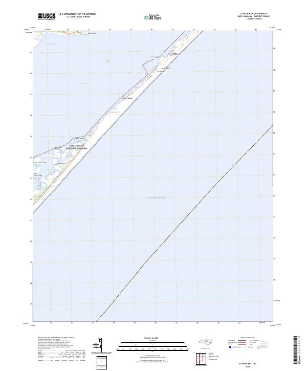 2022 Styron Bay2022 Print · USGSThe barrier islands of Carteret County are captured here during the 2020s, showing the intricate relationship between the sound and the sea. Trace the shifting sands of the Core Banks and maritime passages like New Drum Inlet and Ophelia Inlet.
 - 2022 Map of Wainwright Island, 2022 Print
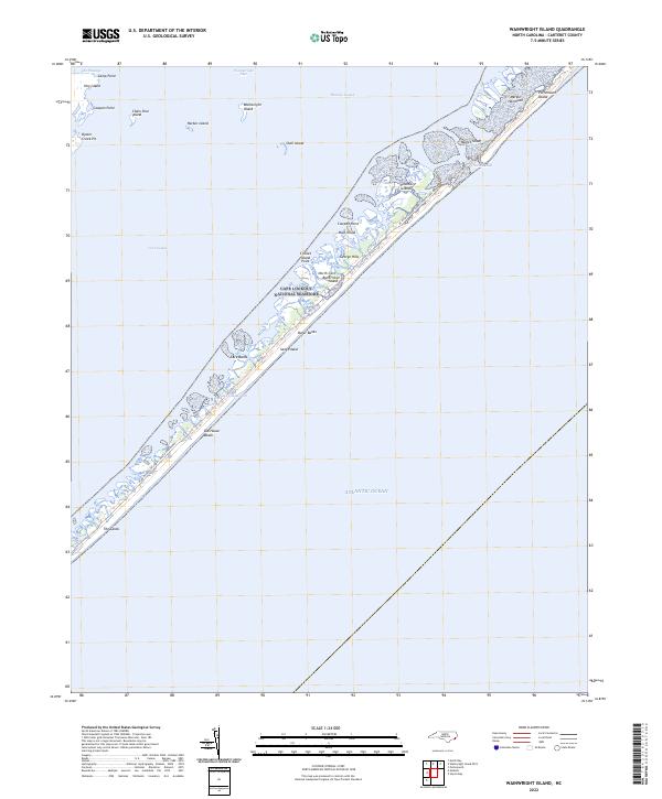 2022 Wainwright Island2022 Print · USGSThe Outer Banks near Carteret County appear here as a pristine maritime wilderness protected within Cape Lookout National Seashore. Researchers can trace the shifting inlets and coastal landmarks like Old House Beach, Portsmouth Island, and the remote Wainwright Island.
 - 2022 Map of Merrimon, 2022 Print
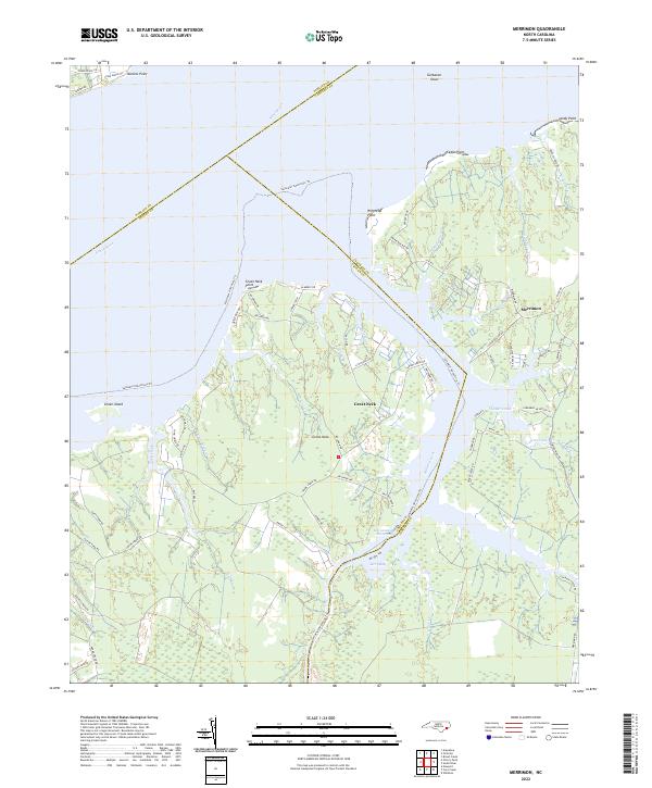 2022 Merrimon2022 Print · USGSCoastal Craven County at the start of the 2020s shows a landscape of deep-water access and marshland peninsulas. Trace the intersection of the Intracoastal Waterway and Adams Creek or explore the residential lanes around Merrimon and Great Neck.
 - 2022 Map of Mansfield, 2022 Print
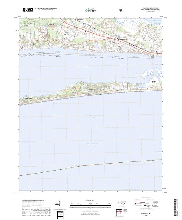 2022 Mansfield2022 Print · USGSThe North Carolina coast at the dawn of the 2020s shows a sophisticated network of shorefront communities and protected maritime forests. Genealogists and historians can trace the growth of Morehead City and Mansfield or locate family roots in Brandywine Bay and Wildwood.
 - 2022 Map of Long Bay, 2022 Print
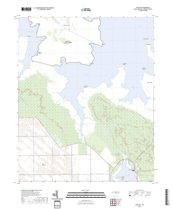 2022 Long Bay2022 Print · USGSIn the early twenty-first century, the tidal marshes of Carteret County remained a complex network of waterways and drainage canals. Researchers can trace land use through the Open Grounds and locate family history at the Isaiah Cem near Broad Creek.
 - 2022 Map of Salter Path, 2022 Print
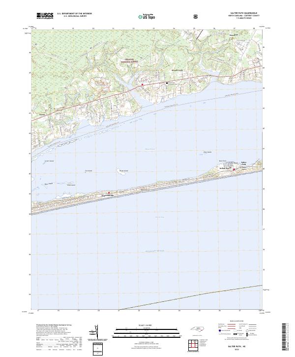 2022 Salter Path2022 Print · USGSThe barrier islands of Carteret County are shown here in the early 2020s, highlighting the proximity of the sound and the sea. Trace the shoreline from Emerald Isle to Salter Path or explore the mainland reaches of the Croatan National Forest.
 - 2022 Map of South River, 2022 Print
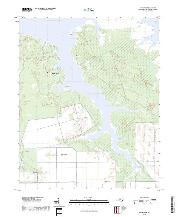 2022 South River2022 Print · USGSThe coastal waters of Carteret County are captured here in the early twenty-first century, showing the intersection of maritime life and large-scale land management. Trace the waterways around Lukens and South River or explore the vast drainage network of Open Grounds.
 - 2022 Map of Newport, 2022 Print
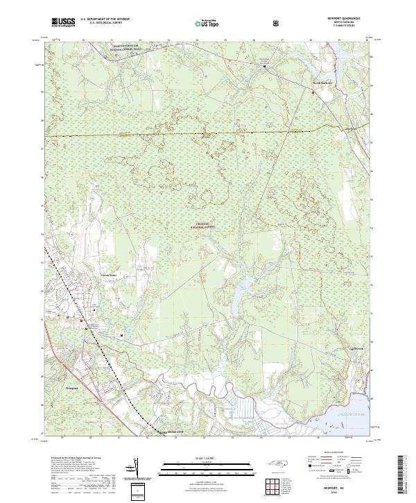 2022 Newport2022 Print · USGSThe coastal wetlands of Carteret and Craven Counties are captured here in the early 2020s, showing the intersection of military and maritime life. Trace family roots at Cedar Grove Cem or follow the historic Harlowe Canal toward the Atlantic Ocean.
 - 2022 Map of Horsepen Point, 2022 Print
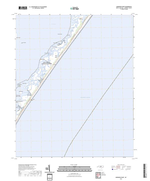 2022 Horsepen Point2022 Print · USGSCoastal North Carolina's barrier islands are captured here in the early twenty-first century as part of the Cape Lookout National Seashore. Researchers can trace the shifting sands and tidal creeks from Horsepen Point to the remote reaches of Guthrie Hammock.
 - 2022 Map of Williston, 2022 Print
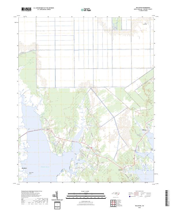 2022 Williston2022 Print · USGSCoastal Carteret County is mapped here in the early 2020s, showing a maritime landscape defined by tidal creeks and salt marshes. Genealogists can trace family-named roads like Amos Gillikin Rd and Donnie Davis Rd through Smyrna, Williston, and Otway.
 - 2022 Map of Davis, 2022 Print
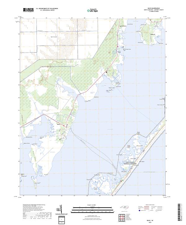 2022 Davis2022 Print · USGSCoastal Carteret County is mapped here in the early twenty-first century as the traditional Down East communities maintain their maritime heritage. Researchers can trace family history at Stacy Cem, follow the Vehicle Ferry Trl across Core Sound, or locate the specific landings at Sealevel and Davis.
 - 2022 Map of Broad Creek, 2022 Print
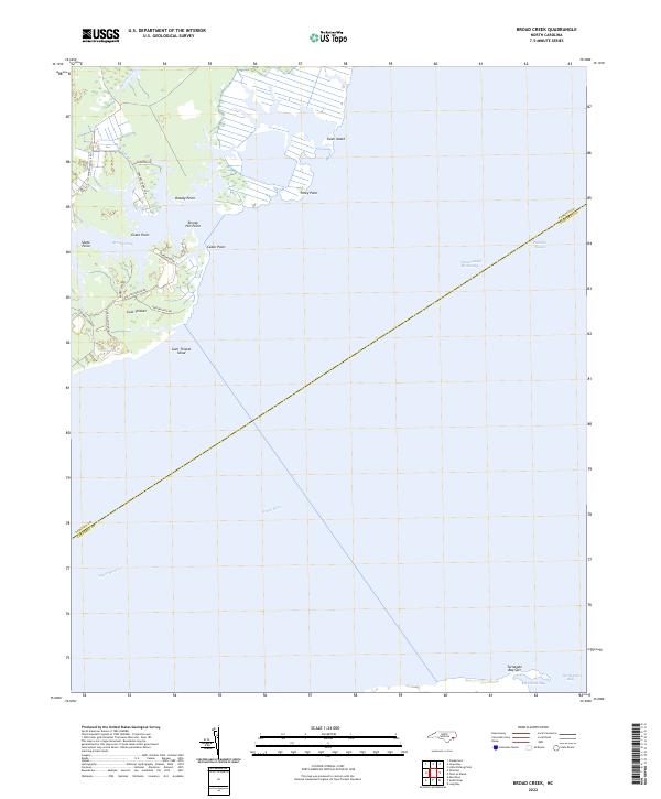 2022 Broad Creek2022 Print · USGSThe coastal waters of Carteret and Pamlico Counties meet here in the early twenty-first century along the protected shores of Broad Creek. Researchers can trace local roads near Gum Thicket or follow the path of the Intracoastal Waterway through the sound.
 - 2022 Map of Point of Marsh, 2022 Print
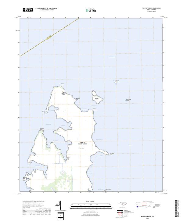 2022 Point of Marsh2022 Print · USGSCoastal Carteret County appears here as a complex puzzle of tidal marshes and sounds in the early twenty-first century. Boaters and local historians can trace the intricate shorelines of Piney Island, Raccoon Island, and the protected waters of Henry Hills Harbor.
 - 2022 Map of Portsmouth, 2022 Print
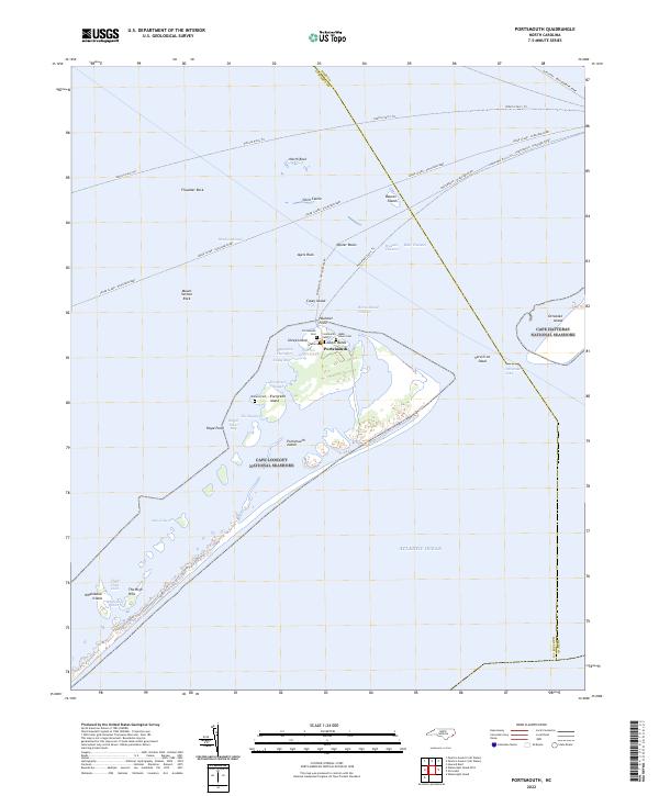 2022 Portsmouth2022 Print · USGSThe barrier islands of the Outer Banks are mapped here in the modern era, showing the protected maritime reaches of the Ocracoke Inlet. Researchers can trace historic family burial sites like Babb - Dixon Cem or follow the path of the Cedar Island - Ocracoke Ferry.
 - 2022 Map of North Bay, 2022 Print
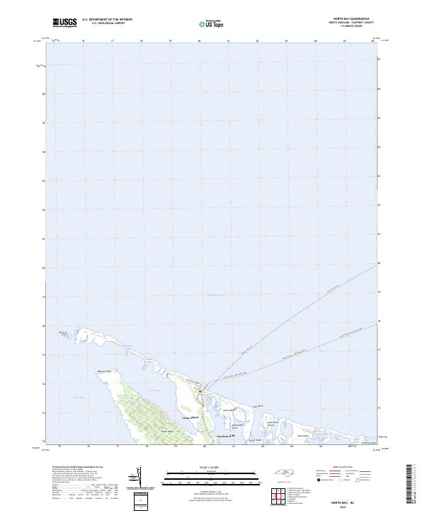 2022 North Bay2022 Print · USGSCoastal Carteret County at the start of the 2020s shows the vital ferry links and marshlands of Cedar Island. Trace the maritime routes of the Cedar Island - Ocracoke Ferry and explore landmarks like Goodwin Hills and Ship Point.
Showing maps 1-25 of 28
Top cities of Carteret County
- Morehead City historical maps
- Newport historical maps
- Emerald Isle historical maps
- Cape Carteret historical maps
- Atlantic Beach historical maps
- Cedar Point historical maps
See more
Frequently asked questions
- What are the different types of historical maps available for Carteret County?
- What is the oldest map of Carteret County?
- Where can I purchase historical maps of Carteret County for my home or office?
- Where can I download high-res historical maps of Carteret County?
- Are there historical topographic maps available for Carteret County?
- Is there historical aerial imagery available for Carteret County?
- Where are historical maps of Carteret County sourced from?