2020s Maps of Columbus County, North Carolina
Explore 32 historic maps of Columbus County from the 2020s. These maps offer a rare glimpse into what life looked like during the 2020s — showing old roads, neighborhoods, homes, and landmarks that have changed or disappeared over time.
Whether you're researching your family's past, planning a metal detecting trip, or studying how Columbus County's landscape evolved across the 2020s, these high-resolution maps are a powerful tool for exploring the history of this region.
- Focus on a specific era: All maps on this page are from the 2020s, giving you a focused view of this time period.
- See what’s changed: Compare century-old streets, trails, and buildings to today's modern landscape using overlays and satellite layers.
- Research with precision: Use these maps for genealogy, historical research, land use analysis, or educational projects.
- View, download, or print: Maps are fully viewable online in high resolution, and can be downloaded or printed for your own records.
Start exploring Columbus County's history through authentic maps from the 2020s. This is your window into the past.
Columbus County, NC maps
(32)- 2020 Map of Duford, 2020 Print
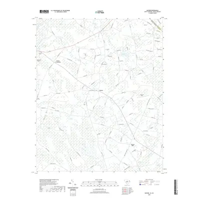 2020 Duford2020 Print · USGSCovers Columbus County, including Floyds Crossroads, Duford, and other nearby areas
 - 2020 Map of Longs, 2020 Print
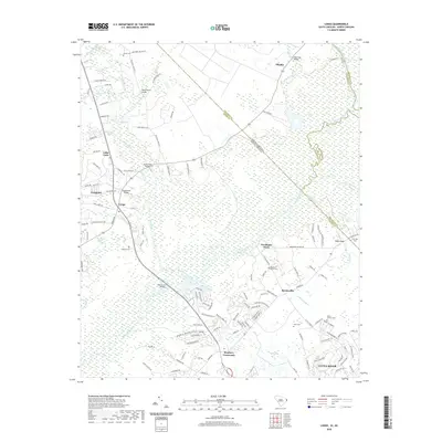 2020 Longs2020 Print · USGSCovers Columbus County, including Little River, Worthams Ferry, and other nearby areas
 - 2022 Map of Calabash, 2022 Print
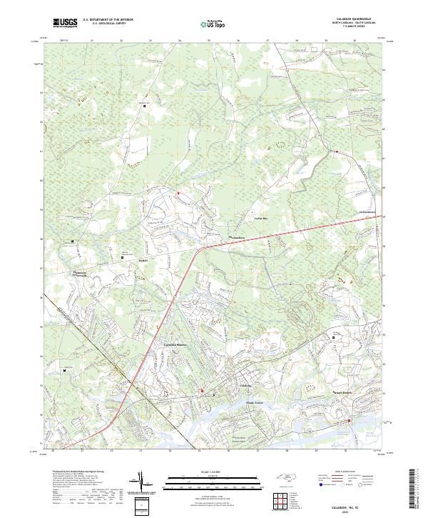 2022 Calabash2022 Print · USGSThe coastal borderlands of the Carolinas are shown here in modern detail, from the marshlands to the beach. Genealogists can locate several family sites like Manley Bennett Cem and Wilson Cem amidst the reaches of Cawcaw Swamp.
 - 2022 Map of Emerson, 2022 Print
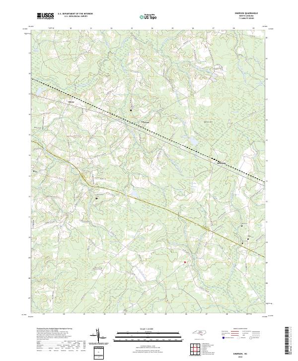 2022 Emerson2022 Print · USGSThe borderlands of Bladen and Columbus Counties come into focus in the early 2020s, revealing a landscape defined by expansive swamps and rural crossroads. Genealogists can trace family footprints through numerous local burial sites like Old Bethel Cem, Mitchellfield Cem, and Bule Cem.
 - 2022 Map of Freeman, 2022 Print
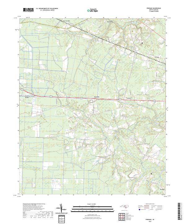 2022 Freeman2022 Print · USGSThe lowland border between Columbus and Bladen Counties is captured here in the early twenty-first century, showing a landscape defined by creeks and canals. Researchers can locate family landmarks like Malpass Cemetery, and trace the rural reaches of Byrdville and Sandyfield.
 - 2022 Map of Whiteville, 2022 Print
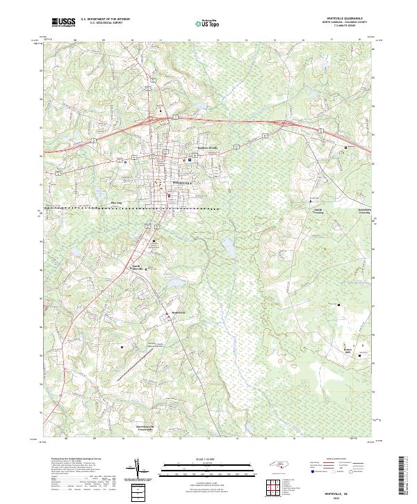 2022 Whiteville2022 Print · USGSCoastal plain life in Columbus County comes into focus as modern developments meet traditional crossroads. Genealogists can trace family roots through Whiteville Cem and Flynn Cem, or locate landmarks like the Columbus County Courthouse.
 - 2022 Map of Freeland, 2022 Print
 2022 Freeland2022 Print · USGSCoastal Brunswick County in the early 2020s remains a landscape of intricate wetlands and scattered rural outposts along the Waccamaw. Local historians can trace family ties through numerous small burial sites like Azor James Smith Cem and Ward Cem near the Regan and Ash communities.
 - 2022 Map of Chadbourn, 2022 Print
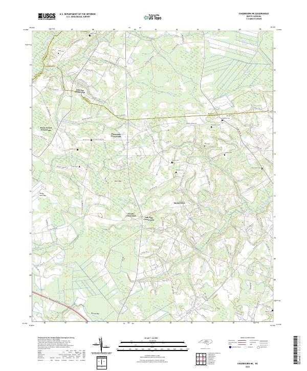
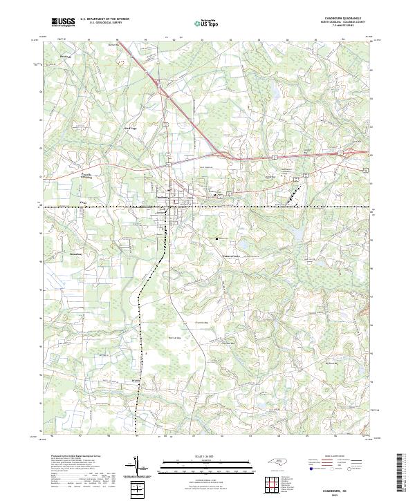 2022 Chadbourn2022 Print · USGSChadbourn and the surrounding Carolina bays are captured here in the early 2020s, showing the intersection of local history and coastal plain geography. Genealogists and researchers can trace family landmarks like the Chadbourn Cem and rural settlements including Grist and Wards.
 - 2022 Map of Kelly, 2022 Print
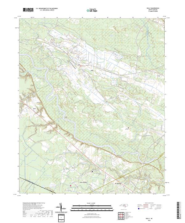 2022 Kelly2022 Print · USGSCoastal North Carolina riverlands come alive in this recent survey of the Bladen and Columbus county border. Researchers can trace rural lineages through Frenches Creek Church, Graham Chapel Cem, and river crossings near Locks Point.
 - 2022 Map of Lewis Swamp, 2022 Print
 2022 Lewis Swamp2022 Print · USGSSoutheastern North Carolina's coastal lowlands are captured here in the early 2020s, showing a landscape defined by expansive wetlands and isolated communities. Researchers can trace rural family sites near Rabontown and Batarora or explore the drainage of Lewis Swamp and Green Swamp.
 - 2022 Map of Chadbourn NE, 2022 Print
 2022 Chadbourn NE2022 Print · USGSThe rural landscapes of Columbus and Bladen counties appear here in the early twenty-first century, featuring a unique network of bay depressions and crossroads settlements. Researchers can trace family sites like Lennons Crossroads and numerous family plots such as Ellis Cem and Callihan Cem.
 - 2022 Map of Cerro Gordo, 2022 Print
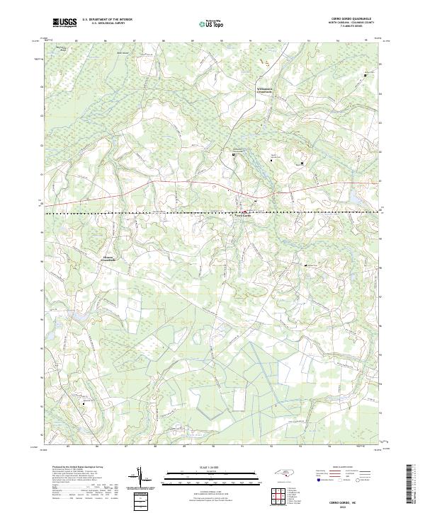 2022 Cerro Gordo2022 Print · USGSCerro Gordo and the surrounding Columbus County lowlands are captured here in the early twenty-first century. Genealogists can trace family footprints through several burial sites including Mount Moriah Cem, Gowans Cem, and Regar Cem.
 - 2022 Map of Point Caswell, 2022 Print
 2022 Point Caswell2022 Print · USGSCoastal plains and riverine lowlands dominate this corner of Pender County in the early 2020s. Genealogists can trace family landmarks and rural burial grounds like Larkins Cem, Long Bluff Cem, and the riverfront settlement at Point Caswell.
 - 2022 Map of Nakina, 2022 Print
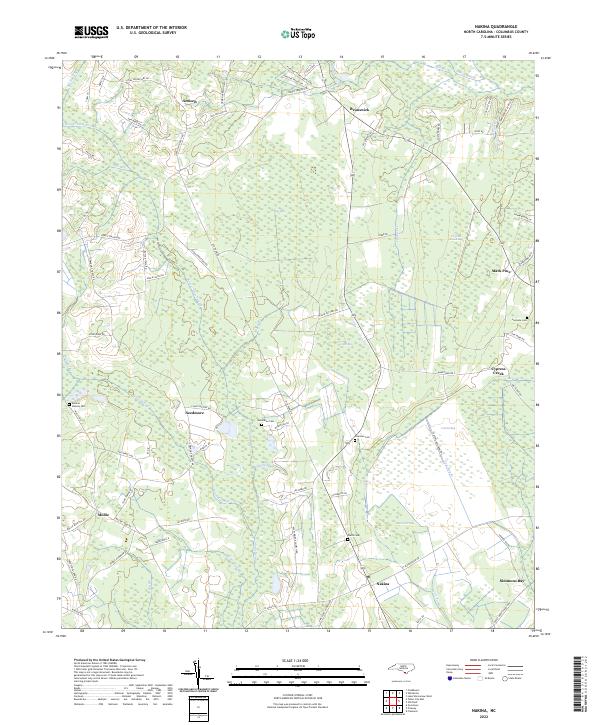 2022 Nakina2022 Print · USGSCoastal plain settlements and family burial grounds dot the North Carolina landscape in this recent study. Researchers can trace ancestral locations at Monroe Stanley Cem, Coleman Cem, and the crossroads at Nakina or Needmore.
 - 2022 Map of Fair Bluff, 2022 Print
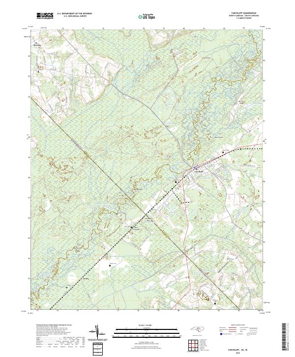 2022 Fair Bluff2022 Print · USGSThe Carolina borderlands along the Lumber River are documented here in detail as they appeared in the early 2020s. Researchers can trace family history through numerous local burial sites like Meares Cem and Powell Cem, or explore the unique geography of Barden Bay and Ashpole Swamp.
 - 2022 Map of Old Dock, 2022 Print
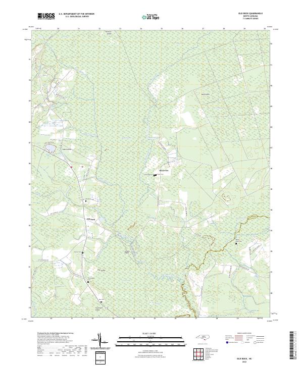 2022 Old Dock2022 Print · USGSCoastal wetlands and riverine settlements define the Columbus County landscape in the early 2020s. Genealogists can trace family heritage through numerous sites like Blackmon Cem and Formyduval Cem near the banks of the Waccamaw River.
 - 2022 Map of Tabor City East, 2022 Print
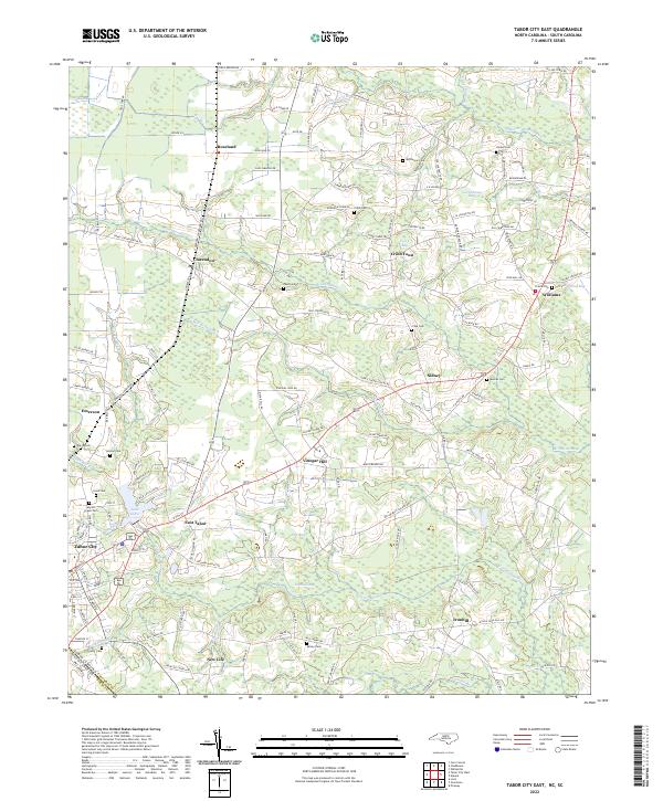 2022 Tabor City East2022 Print · USGSCoastal plains and swamp networks define this borderland region in the early 2020s. Researchers can trace numerous rural family cemeteries and small crossroads settlements like Cribb Town, Vinegar Hill, and Myrtle Green Cem.
 - 2022 Map of Pireway, 2022 Print
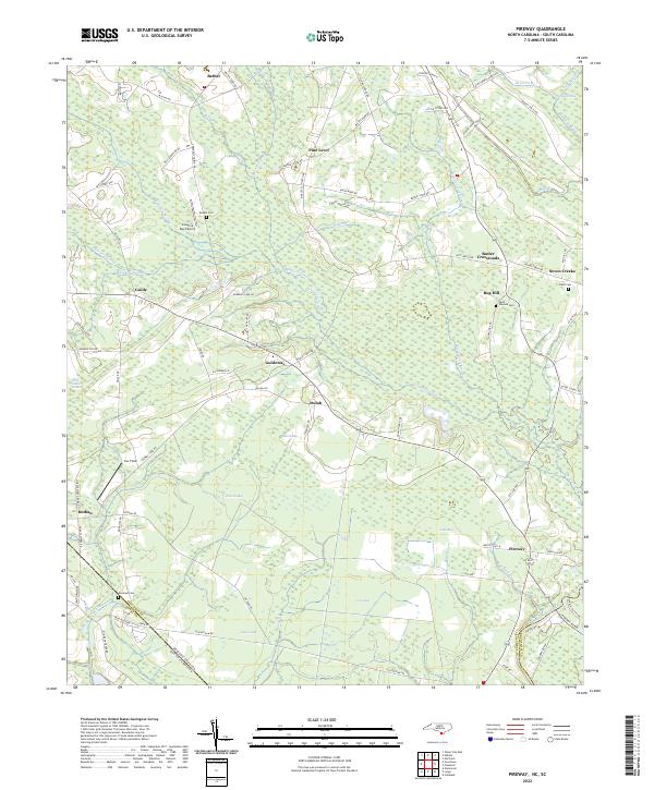 2022 Pireway2022 Print · USGSIn the early twenty-first century, this coastal plain landscape on the Carolina border remains defined by its unique wetlands and rural hamlets. Researchers can trace family history through sites like Bethel Cem and Marlowe Cem or explore the geography of Jenrette Bay and Pireway.
 - 2022 Map of Tabor City West, 2022 Print
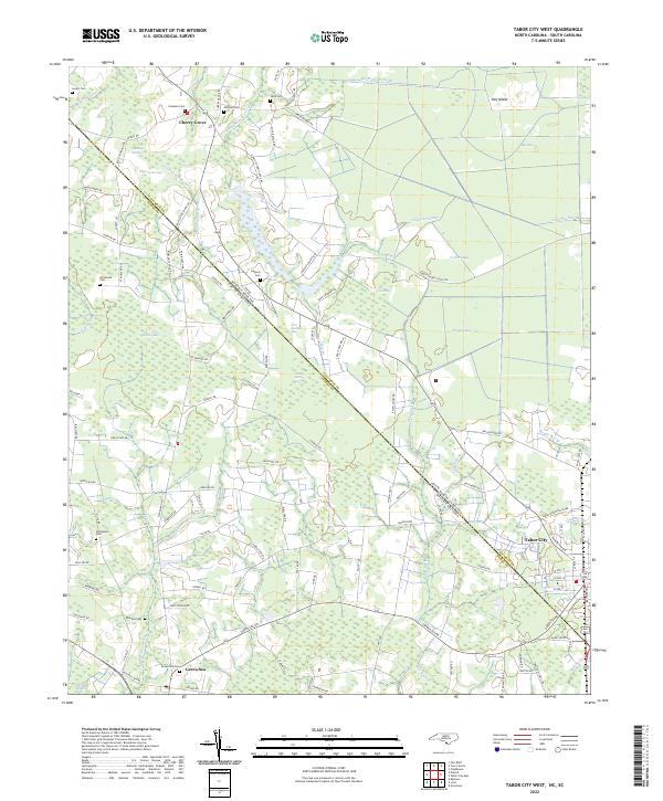 2022 Tabor City West2022 Print · USGSThe North and South Carolina borderlands come alive in this detailed recent survey of the Coastal Plain. Genealogists and local historians can trace family locations near Tabor City, Green Sea, and historic burial sites like Strickland Cem and Gapway Cem.
 - 2022 Map of Clarkton, 2022 Print
 2022 Clarkton2022 Print · USGSCoastal Plain wetlands and small-town rail grids define this Bladen County landscape in the early 2020s. Researchers can trace family sites from Clarkton down to Wootens Crossroads and the Marley Cem, or explore the reaches of White Marsh and Brights Lake.
 - 2022 Map of Juniper Creek, 2022 Print
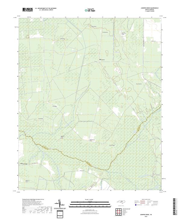 2022 Juniper Creek2022 Print · USGSThe Green Swamp wilderness at the Columbus and Brunswick county line is captured here in the early twenty-first century, revealing an intricate network of wetlands and ridges. Researchers can trace historic access routes like Tram Rd or locate family-named landmarks such as Schoolhouse Ridge and Grays Ridge.
 - 2022 Map of Goretown, 2022 Print
 2022 Goretown2022 Print · USGSCovers Columbus County, including Loris, Sandy Plain, and other nearby areas
 - 2022 Map of Lake Waccamaw East, 2022 Print
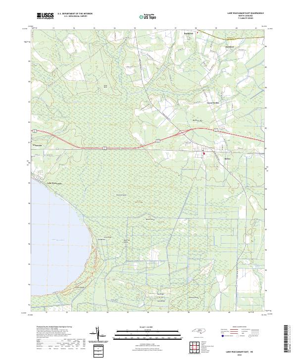 2022 Lake Waccamaw East2022 Print · USGSCoastal plain wetlands and the eastern shores of Lake Waccamaw define this part of Columbus County in the early 2020s. Genealogists and historians can trace the roads connecting Wananish, Bolton, and Council Ridge across the Green Swamp.
 - 2022 Map of Lake Waccamaw West, 2022 Print
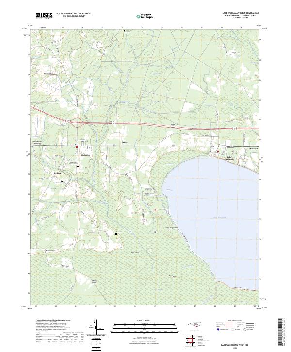 2022 Lake Waccamaw West2022 Print · USGSColumbus County's lakeside settlements and swampy lowlands are captured here in the early 2020s. Researchers can trace family history through sites like Pierce Cem or locate old community hubs at Hallsboro, Redbug, and Wananish.
 - 2022 Map of Acme, 2022 Print
 2022 Acme2022 Print · USGSBrunswick and Columbus counties come together in this early twenty-first-century survey of the North Carolina coastal plain. Researchers can locate several family burial grounds including Skipper Cem and Atkinson Cem alongside settlements like Acme and Delco.
Showing maps 1-25 of 32
Top cities of Columbus County
- Whiteville historical maps
- Tabor City historical maps
- Chadbourn historical maps
- Lake Waccamaw historical maps
- Fair Bluff historical maps
- Bolton historical maps
See more
Frequently asked questions
- What are the different types of historical maps available for Columbus County?
- What is the oldest map of Columbus County?
- Where can I purchase historical maps of Columbus County for my home or office?
- Where can I download high-res historical maps of Columbus County?
- Are there historical topographic maps available for Columbus County?
- Is there historical aerial imagery available for Columbus County?
- Where are historical maps of Columbus County sourced from?