2010s Maps of Columbus County, North Carolina
Explore 113 historic maps of Columbus County from the 2010s. These maps offer a rare glimpse into what life looked like during the 2010s — showing old roads, neighborhoods, homes, and landmarks that have changed or disappeared over time.
Whether you're researching your family's past, planning a metal detecting trip, or studying how Columbus County's landscape evolved across the 2010s, these high-resolution maps are a powerful tool for exploring the history of this region.
- Focus on a specific era: All maps on this page are from the 2010s, giving you a focused view of this time period.
- See what’s changed: Compare century-old streets, trails, and buildings to today's modern landscape using overlays and satellite layers.
- Research with precision: Use these maps for genealogy, historical research, land use analysis, or educational projects.
- View, download, or print: Maps are fully viewable online in high resolution, and can be downloaded or printed for your own records.
Start exploring Columbus County's history through authentic maps from the 2010s. This is your window into the past.
Columbus County, NC maps
(113)- 2010 Map of Fairmont, 2010 Print
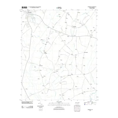 2010 Fairmont2010 Print · USGSRobeson County at the start of the 2010s reveals a rural landscape defined by historic crossroads and extensive swamp networks. Genealogists can trace hundreds of family names through sites like Bullock Cemetery and Byrd Cemeteries near Proctorville.
 - 2010 Map of Chadbourn, 2010 Print
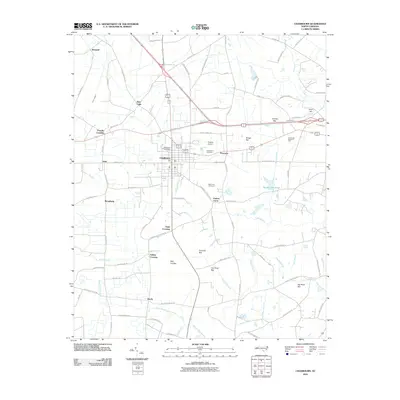 2010 Chadbourn2010 Print · USGSChadbourn and its surrounding Columbus County lowlands are captured here in the early twenty-first century, showing a landscape defined by coastal plain hydrology. Researchers can trace local genealogy and land use through landmarks like Chadbourn Cemetery, Hughes Airport, and the various family-named crossings including Fipps Crossing and Nobles Crossing.
 - 2010 Map of Old Dock, 2010 Print
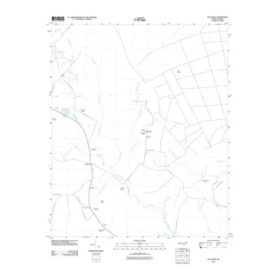 2010 Old Dock2010 Print · USGSThe Waccamaw River lowlands and surrounding wetlands are documented here in the early twenty-first century. Genealogists and local historians can locate numerous family burial grounds including Formyduval Cemetery, Ross Cemetery, and Duncan Cemetery.
 - 2010 Map of Chadbourn NE, 2010 Print
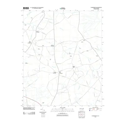 2010 Chadbourn NE2010 Print · USGSNorth Carolina's Columbus County is captured here in the early twenty-first century, showing a rural landscape defined by historic crossroads. Genealogists can locate family-named landmarks like Meadow Cemetery, Kelly Cemetery, and the community of Mount Olive.
 - 2010 Map of Lake Waccamaw West, 2010 Print
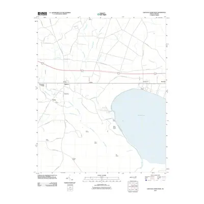 2010 Lake Waccamaw West2010 Print · USGSThe western shores of Lake Waccamaw are captured here in the early twenty-first century, showing a landscape defined by the great Bogue Swamp. Genealogists and historians can locate the Hallsboro Post Office, trace the lineage of Batten Cemetery, and explore the rail-line hamlets of Artesia and Wananish.
 - 2010 Map of Acme, 2010 Print
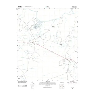 2010 Acme2010 Print · USGSThe riverfront and wetlands of southeastern North Carolina come into focus here during the early twenty-first century. Researchers can trace local genealogy through numerous burial sites like Sykes Cemetery or Rogers Cemetery and locate river landings such as Pridgeons Landing.
 - 2010 Map of Evergreen, 2010 Print
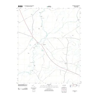 2010 Evergreen2010 Print · USGSCoastal plains and swampy lowlands define the area around Boardman and Evergreen in the early twenty-first century. Researchers can locate family landmarks such as Britt Cemetery and trace the historic river trade at Parkers Lower Landing and Iveys Bridge.
 - 2010 Map of Lake Waccamaw East, 2010 Print
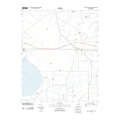 2010 Lake Waccamaw East2010 Print · USGSCoastal plain settlements and low-lying wetlands define this Columbus County landscape in the early twenty-first century. Genealogists and researchers can trace the local infrastructure of Bolton and Wananish or locate family-named features like Goose Hollow and Pate Neck.
 - 2010 Map of Honey Island, 2010 Print
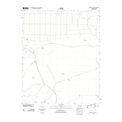 2010 Honey Island2010 Print · USGSCoastal Brunswick County is shown here in the early 21st century, detailing a landscape of savannas and named ridges. Researchers can trace rural road networks like Prosper Cemetery Rd and locate unique landmarks including Bear Pen Airport and the Riegel Lookout Tower.
 - 2010 Map of Clarkton, 2010 Print
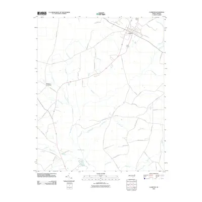 2010 Clarkton2010 Print · USGSThe rail-and-road junction at Clarkton anchors this Bladen County landscape during the early twenty-first century. Genealogists and local historians can trace family land ties along White Marsh and find landmarks like Wootens Crossroads and Brights Lake.
 - 2010 Map of Kelly, 2010 Print
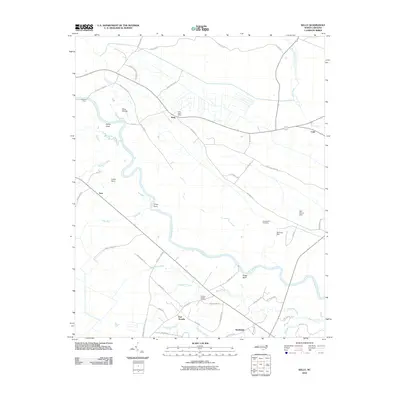 2010 Kelly2010 Print · USGSCoastal plains and river bends define Bladen County at the start of the 2010s, where the river remains a central artery for the community. Genealogists and local historians can locate Elwells Ferry, Holmes Hill Cemetery, and the riverfront settlement of East Arcadia.
 - 2010 Map of Nakina, 2010 Print
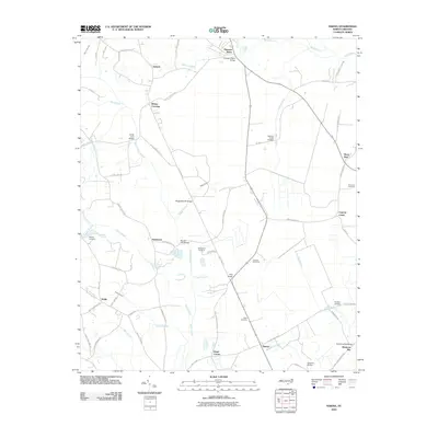 2010 Nakina2010 Print · USGSIn the coastal plain of North Carolina during the early 2000s, this area shows a landscape defined by crossroads settlements and vast swamp networks. Genealogists can trace family names at the Stanley Cemetery or explore old routes like Old Tram Rd and Poley Bridge Church Rd.
 - 2010 Map of Point Caswell, 2010 Print
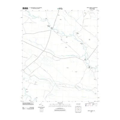 2010 Point Caswell2010 Print · USGSThe riverfront landings and family cemeteries of Pender County are preserved here as they appeared just over a decade ago. Researchers can trace land ties at Point Caswell or locate ancestral sites like Dew Cemetery and Long Bluff Landing.
 - 2010 Map of Juniper Creek, 2010 Print
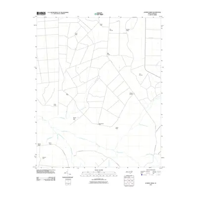 2010 Juniper Creek2010 Print · USGSCoastal plain wetlands and family-named ridges define this part of Columbus County as it appeared in the early twenty-first century. Genealogists and local historians can trace legacy landmarks like Clewis Corner, Schoolhouse Ridge, and Bennett Little Field.
 - 2010 Map of Lewis Swamp, 2010 Print
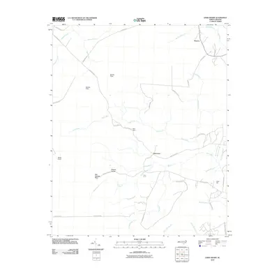 2010 Lewis Swamp2010 Print · USGSCoastal North Carolina rural life is captured here in the early twenty-first century, showing a landscape defined by deep swamps and family settlements. Genealogists can trace local heritage through landmarks like Old Cumbee Place, Flowers Corner, and Piney Grove.
 - 2010 Map of Whiteville, 2010 Print
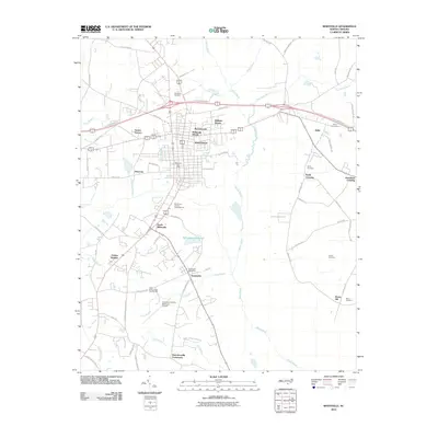 2010 Whiteville2010 Print · USGSColumbus County at the start of the 2010s shows a landscape of growing residential tracts and essential regional infrastructure. Researchers can trace family history through sites like Flynn Cemetery or locate civic landmarks such as State Prison Camp Number 602 and the Brunswick Post Office.
 - 2010 Map of Emerson, 2010 Print
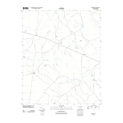 2010 Emerson2010 Print · USGSCoastal plain swamplands and small crossroads communities characterize this corner of Bladen County in the early 2000s. Genealogists and local historians can locate several family burial sites including Mitchellfield Cemetery and Old Bethel Cemetery near the settlement of Emerson.
 - 2010 Map of Cerro Gordo, 2010 Print
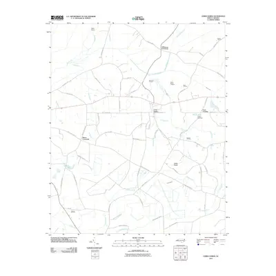 2010 Cerro Gordo2010 Print · USGSThis rural portion of Columbus County is documented here at the turn of the decade, revealing a landscape of family-named crossroads and wetland drainage. Genealogists can locate several family burial sites including Regar Cemetery and Gowans Cemetery near the community of Cedar Grove.
 - 2010 Map of Council, 2010 Print
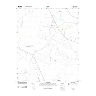 2010 Council2010 Print · USGSCoastal plains and riverine lowlands dominate this part of North Carolina during the early twenty-first century. Researchers can trace rural lineages through the McEwen Cemetery and explore old mill sites like Council Mill Pond and Meares Millpond.
 - 2010 Map of Freeland, 2010 Print
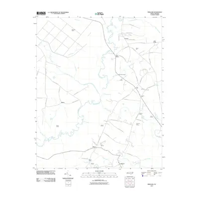 2010 Freeland2010 Print · USGSCoastal Brunswick County comes into focus in this early twenty-first-century survey of its river-bound settlements and family lands. Genealogists can trace local roots at the Azor James Smith Cemetery and Ward Cemetery near the banks of the Waccamaw River.
 - 2011 Map of Freeman, 2011 Print
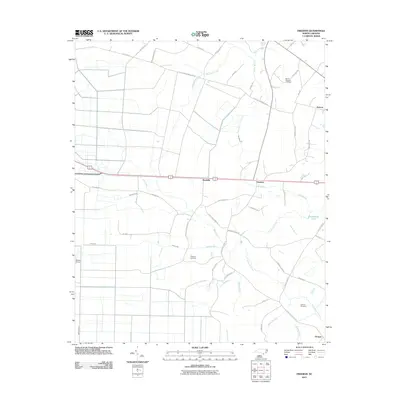 2011 Freeman2011 Print · USGSCoastal plain settlements like Byrdville and Freeman are captured here in the early twenty-first century amidst a complex system of creeks and canals. Researchers can trace family sites at Mount Pleasant Cemetery or locate the rural runways of Bolton Airport.
 - 2011 Map of Longs, 2011 Print
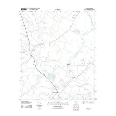 2011 Longs2011 Print · USGSThe Waccamaw River lowlands of Horry County come alive in this detailed look at rural life and river crossings early in the millennium. Genealogists can trace family names at Butler Cemetery or Platt Cemetery and locate historical hubs like Worthams Ferry.
 - 2011 Map of Tabor City East, 2011 Print
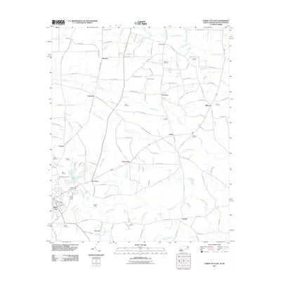 2011 Tabor City East2011 Print · USGSThe North Carolina-South Carolina borderlands appear in great detail during the early 2010s, showing the agricultural and wetland landscape around Tabor City. Genealogists can trace family connections through numerous sites like Myrtle Green Cemetery and Cribb Town.
 - 2011 Map of Tabor City West, 2011 Print
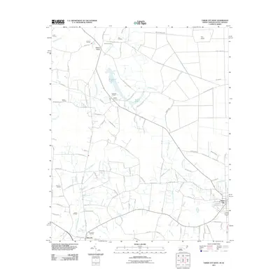 2011 Tabor City West2011 Print · USGSThe Carolina borderlands come into focus in this recent survey, capturing the rural character of the region just west of Tabor City. Genealogists and historians can locate numerous family burial sites like Williamson Cemetery and Godwin Cemetery or trace the geography of Tory Island.
 - 2011 Map of Calabash, 2011 Print
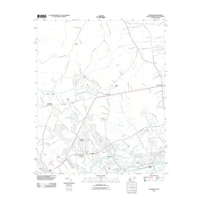 2011 Calabash2011 Print · USGSThe Carolina borderlands and the Brunswick County coast are captured here just after the turn of the millennium. Local historians can trace family burial sites like Bennett Cemetery and maritime landmarks along the Intracoastal Waterway near Bonaparte Landing.
Showing maps 1-25 of 113
Top cities of Columbus County
- Whiteville historical maps
- Tabor City historical maps
- Chadbourn historical maps
- Lake Waccamaw historical maps
- Fair Bluff historical maps
- Bolton historical maps
See more
Frequently asked questions
- What are the different types of historical maps available for Columbus County?
- What is the oldest map of Columbus County?
- Where can I purchase historical maps of Columbus County for my home or office?
- Where can I download high-res historical maps of Columbus County?
- Are there historical topographic maps available for Columbus County?
- Is there historical aerial imagery available for Columbus County?
- Where are historical maps of Columbus County sourced from?