2000s (21st Century) Maps of Pine Level, North Carolina
Explore 20 historic maps of Pine Level from the 2000s (21st Century). These maps offer a rare glimpse into what life looked like during the 2000s — showing old roads, neighborhoods, homes, and landmarks that have changed or disappeared over time.
Whether you're researching your family's past, planning a metal detecting trip, or studying how Pine Level's landscape evolved across the 2000s, these high-resolution maps are a powerful tool for exploring the history of this region.
- Focus on a specific era: All maps on this page are from the 2000s, giving you a focused view of this time period.
- See what’s changed: Compare century-old streets, trails, and buildings to today's modern landscape using overlays and satellite layers.
- Research with precision: Use these maps for genealogy, historical research, land use analysis, or educational projects.
- View, download, or print: Maps are fully viewable online in high resolution, and can be downloaded or printed for your own records.
Start exploring Pine Level's history through authentic maps from the 2000s. This is your window into the past.
Pine Level, NC maps
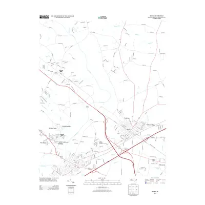
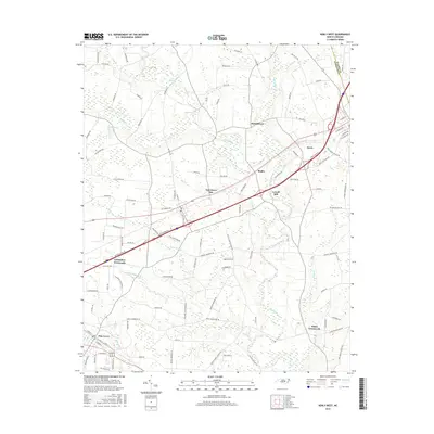
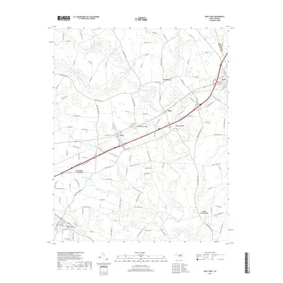
(20)- 2010 Map of Kenly West, 2010 Print
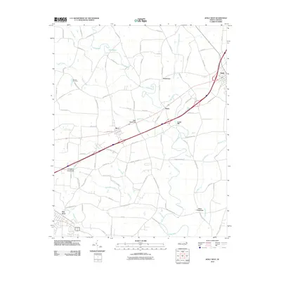 2010 Kenly West2010 Print · USGSCovers Pine Level, including Kenly, Micro, and other nearby areas
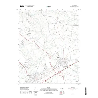
 - 2010 Map of Selma, 2010 Print
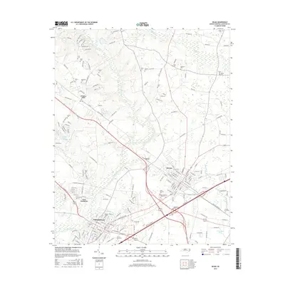
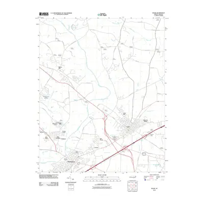 2010 Selma2010 Print · USGSCovers Pine Level, including Smithfield, Selma, and other nearby areas
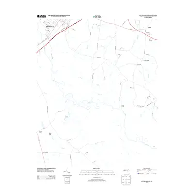
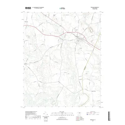
 - 2010 Map of Princeton, 2010 Print
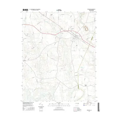
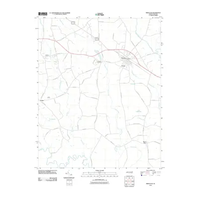 2010 Princeton2010 Print · USGSCovers Pine Level, including Princeton, Raynor Town, and other nearby areas
 - 2010 Map of Four Oaks NE, 2010 Print
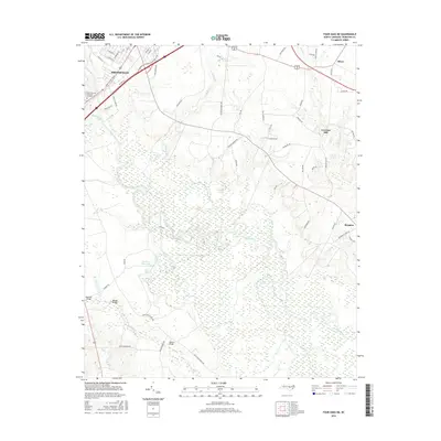
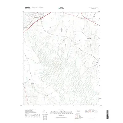
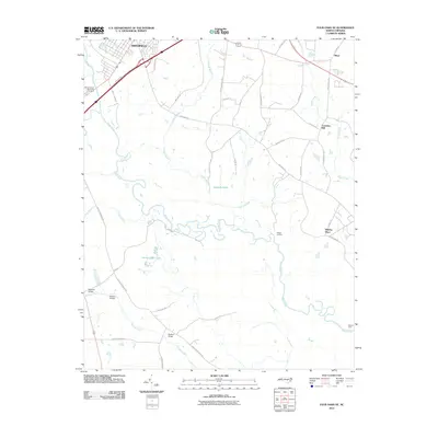 2010 Four Oaks NE2010 Print · USGSCovers Pine Level, including Smithfield, Creeches Mill, and other nearby areas
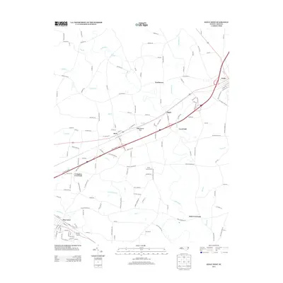
 - 2013 Map of Selma, 2013 Print
 2013 Selma2013 Print · USGSCovers Pine Level, including Smithfield, Selma, and other nearby areas
 - 2013 Map of Four Oaks NE, 2013 Print
 2013 Four Oaks NE2013 Print · USGSCovers Pine Level, including Smithfield, Creeches Mill, and other nearby areas
 - 2013 Map of Kenly West, 2013 Print
 2013 Kenly West2013 Print · USGSCovers Pine Level, including Kenly, Micro, and other nearby areas
 - 2013 Map of Princeton, 2013 Print
 2013 Princeton2013 Print · USGSCovers Pine Level, including Princeton, Raynor Town, and other nearby areas
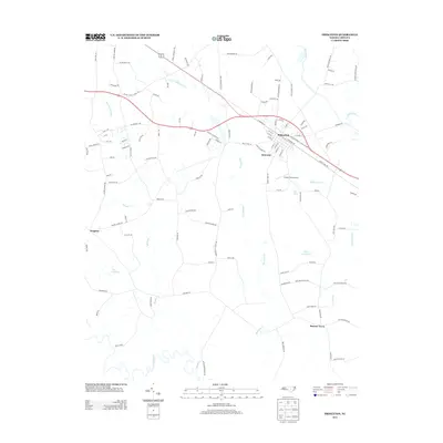
 - 2016 Map of Princeton, 2016 Print
 2016 Princeton2016 Print · USGSCovers Pine Level, including Princeton, Raynor Town, and other nearby areas
 - 2016 Map of Selma, 2016 Print
 2016 Selma2016 Print · USGSCovers Pine Level, including Smithfield, Selma, and other nearby areas
 - 2016 Map of Four Oaks NE, 2016 Print
 2016 Four Oaks NE2016 Print · USGSCovers Pine Level, including Smithfield, Creeches Mill, and other nearby areas
 - 2016 Map of Kenly West, 2016 Print
 2016 Kenly West2016 Print · USGSCovers Pine Level, including Kenly, Micro, and other nearby areas
 - 2019 Map of Princeton, 2019 Print
 2019 Princeton2019 Print · USGSCovers Pine Level, including Princeton, Raynor Town, and other nearby areas
 - 2019 Map of Selma, 2019 Print
 2019 Selma2019 Print · USGSCovers Pine Level, including Smithfield, Selma, and other nearby areas
 - 2019 Map of Kenly West, 2019 Print
 2019 Kenly West2019 Print · USGSCovers Pine Level, including Kenly, Micro, and other nearby areas
 - 2019 Map of Four Oaks NE, 2019 Print
 2019 Four Oaks NE2019 Print · USGSCovers Pine Level, including Smithfield, Creeches Mill, and other nearby areas
 - 2022 Map of Kenly West, 2022 Print
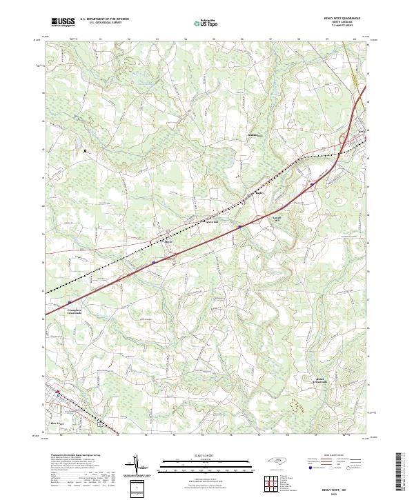 2022 Kenly West2022 Print · USGSJohnston County at the start of the 2020s shows a landscape of established crossroads and river-fed communities. Genealogists and local historians can trace the roads connecting Micro, Lowell Mill, and the Brown Cem across the Little River valley.
 - 2022 Map of Four Oaks NE, 2022 Print
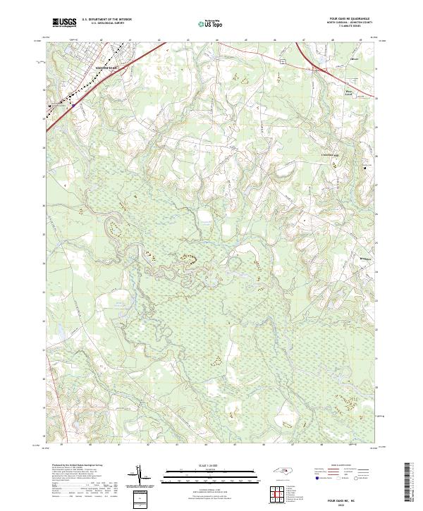 2022 Four Oaks NE2022 Print · USGSSettlements along the Neuse River basin in Johnston County show a blend of historic agricultural roots and modern expansion in the early 2020s. Researchers can trace local landmarks like Creeches Mill, the rural community of Brogden, and family-named sites such as Overby Cem.
 - 2022 Map of Selma, 2022 Print
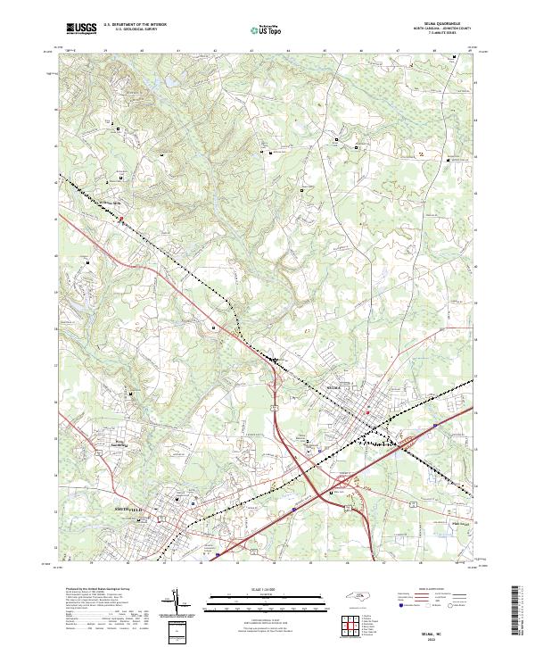 2022 Selma2022 Print · USGSNorth Carolina's Neuse River valley in the early 2020s shows a landscape where historic town centers meet modern growth. Genealogists can trace family landmarks like Vause Cem, Price Cem, and Walls Cem while mapping the areas around Smithfield and Selma.
 - 2022 Map of Princeton, 2022 Print
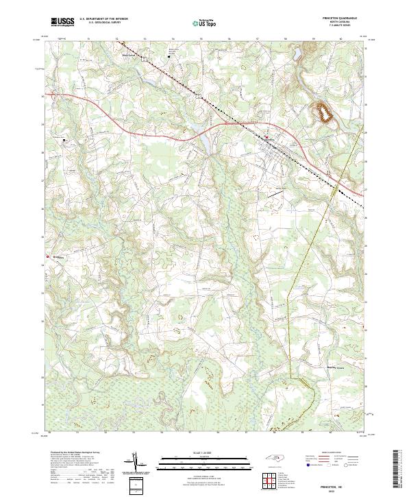 2022 Princeton2022 Print · USGSCoastal plain settlements and river lowlands southeast of Smithfield are documented in this recent survey. Local historians can trace family-named routes and landmarks from Pine Level down to the Neuse River, including Thompson Cem and Raynor Town.
End of results
Showing maps 1-20 of 20
Top cities near Pine Level
- Raleigh historical maps
- Wilson historical maps
- Goldsboro historical maps
- Clayton historical maps
- Smithfield historical maps
- Selma historical maps
See more
Frequently asked questions
- What are the different types of historical maps available for Pine Level?
- What is the oldest map of Pine Level?
- Where can I purchase historical maps of Pine Level for my home or office?
- Where can I download high-res historical maps of Pine Level?
- Are there historical topographic maps available for Pine Level?
- Is there historical aerial imagery available for Pine Level?
- Where are historical maps of Pine Level sourced from?