2000s (21st Century) Maps of Pender County, North Carolina
Explore 130 historic maps of Pender County from the 2000s (21st Century). These maps offer a rare glimpse into what life looked like during the 2000s — showing old roads, neighborhoods, homes, and landmarks that have changed or disappeared over time.
Whether you're researching your family's past, planning a metal detecting trip, or studying how Pender County's landscape evolved across the 2000s, these high-resolution maps are a powerful tool for exploring the history of this region.
- Focus on a specific era: All maps on this page are from the 2000s, giving you a focused view of this time period.
- See what’s changed: Compare century-old streets, trails, and buildings to today's modern landscape using overlays and satellite layers.
- Research with precision: Use these maps for genealogy, historical research, land use analysis, or educational projects.
- View, download, or print: Maps are fully viewable online in high resolution, and can be downloaded or printed for your own records.
Start exploring Pender County's history through authentic maps from the 2000s. This is your window into the past.
Pender County, NC maps
(130)- 2010 Map of Costin, 2010 Print
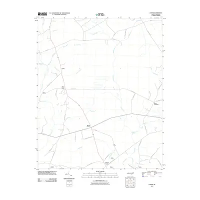 2010 Costin2010 Print · USGSCoastal Pender County remains a landscape of quiet crossroads and family homesteads in the early twenty-first century. Genealogists can locate several local burial grounds including Walker Cemetery and Herring Cemetery near Wards Corner.
 - 2010 Map of Acme, 2010 Print
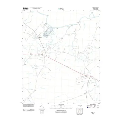 2010 Acme2010 Print · USGSThe riverfront and wetlands of southeastern North Carolina come into focus here during the early twenty-first century. Researchers can trace local genealogy through numerous burial sites like Sykes Cemetery or Rogers Cemetery and locate river landings such as Pridgeons Landing.
 - 2010 Map of Atkinson, 2010 Print
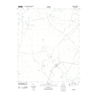 2010 Atkinson2010 Print · USGSCoastal plain settlements in Pender County are mapped here in the early twenty-first century, showing the rural community of Atkinson. Researchers can locate numerous family burial grounds including Newtown Cemetery and Hawes Cemetery, or trace the banks of Lake Ann.
 - 2010 Map of Kelly, 2010 Print
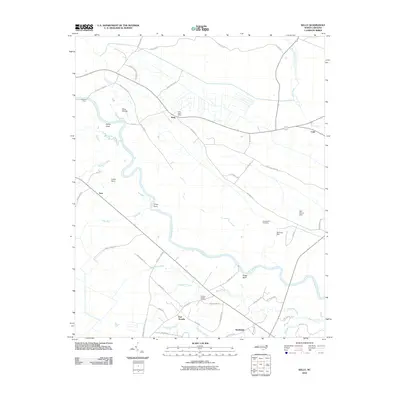 2010 Kelly2010 Print · USGSCoastal plains and river bends define Bladen County at the start of the 2010s, where the river remains a central artery for the community. Genealogists and local historians can locate Elwells Ferry, Holmes Hill Cemetery, and the riverfront settlement of East Arcadia.
 - 2010 Map of Point Caswell, 2010 Print
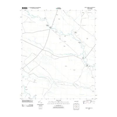 2010 Point Caswell2010 Print · USGSThe riverfront landings and family cemeteries of Pender County are preserved here as they appeared just over a decade ago. Researchers can trace land ties at Point Caswell or locate ancestral sites like Dew Cemetery and Long Bluff Landing.
 - 2010 Map of Rowan, 2010 Print
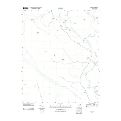 2010 Rowan2010 Print · USGSCoastal plains and river landings define this part of Bladen County during the early 2000s. Researchers can locate numerous family burial grounds like Salem Cemetery and trace the many landings along the Black River, including Davis Landing and Strawhorn Landing.
 - 2010 Map of Wallace West, 2010 Print
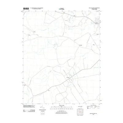 2010 Wallace West2010 Print · USGSPender County's agricultural and aviation landscape comes into focus during the early twenty-first century. Genealogists can trace family heritage at Rockfish Cemetery or White Cemetery while exploring rural hubs like Penderlea and Safe.
 - 2010 Map of Folkstone, 2010 Print
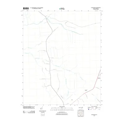 2010 Folkstone2010 Print · USGSCoastal Onslow County is revealed in the early twenty-first century, showing a landscape of dense wetlands and military history. Genealogists and researchers can trace local routes like Ottaway Ave and find landmarks such as Camp Davis and Folkstone.
 - 2010 Map of Pin Hook, 2010 Print
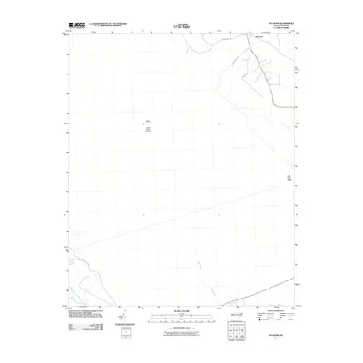 2010 Pin Hook2010 Print · USGSDuplin County's rural landscape is captured here during the early twenty-first century, showing the crossroads at Pin Hook. Researchers can trace the drainage of the Northeast Cape Fear River and locate local landmarks such as Blue Ridge Airfield and Mill Pond.
 - 2010 Map of Castle Hayne, 2010 Print
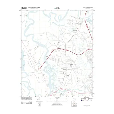 2010 Castle Hayne2010 Print · USGSCoastal New Hanover County is shown here in the early 21st century as suburban growth and industrial sites expand along the Northeast Cape Fear River. Researchers can locate family landmarks like Shoulder Branch Cemetery and the Castle Hayne Post Office.
 - 2010 Map of Holly Ridge, 2010 Print
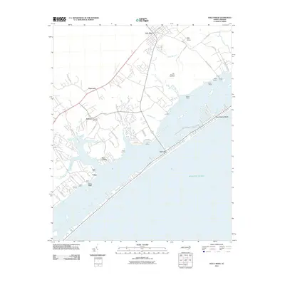 2010 Holly Ridge2010 Print · USGSThe coastal communities of Pender County come into focus during the early twenty-first century as recreational beaches and historic landings meet. Genealogists and local historians can trace the sites of Sloop Point Post Office, Sears Landing, and Bell Farm Landing along the protected sound waters.
 - 2010 Map of Wallace East, 2010 Print
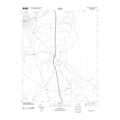 2010 Wallace East2010 Print · USGSThe Pender County interior comes into focus during the early twenty-first century as agricultural landscapes and historic rail corridors remain central to the region. Researchers can locate family landmarks like the Penderlea Homesteads, the Wallace Post Office, and the waters of Boney Mill Pond.
 - 2010 Map of Maple Hill SW, 2010 Print
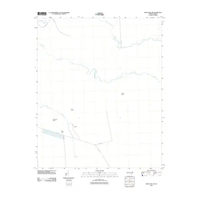 2010 Maple Hill SW2010 Print · USGSThe North Carolina coastal plain is captured here in the early twenty-first century, showcasing a landscape dominated by the intricate hydrology of Shaken Creek. Researchers can trace the path of Old Maple Hill Rd and explore named rises like Bryants Ridge.
 - 2010 Map of Stag Park, 2010 Print
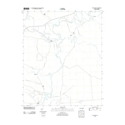 2010 Stag Park2010 Print · USGSCoastal Pender County at the turn of the decade is defined by the winding Northeast Cape Fear River and its dense network of rural creeks. Genealogists and researchers can trace local landmarks like Stag Park, Walkers Store, and the Bannerman Lookout Tower.
 - 2010 Map of Rocky Point, 2010 Print
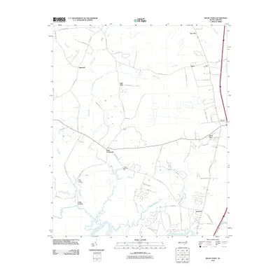 2010 Rocky Point2010 Print · USGSCoastal plain settlements and riverine landscapes define this Pender County area during the early twenty-first century. Researchers can trace family names and old crossroads at Hogutt Cemetery, Clarks Landing, and Bells Crossroads.
 - 2010 Map of Mooretown, 2010 Print
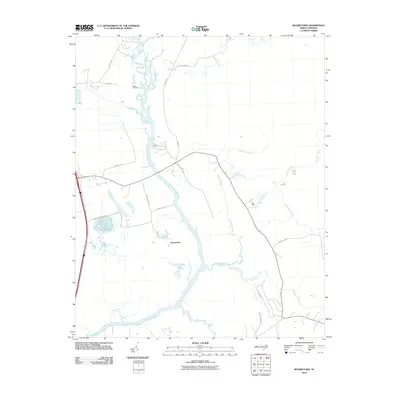 2010 Mooretown2010 Print · USGSCoastal plain hydrology and rural Pender County life are documented here as they appeared early in the twenty-first century. Researchers can trace family history through the Ashe Cemetery or follow the intricate flow of the Northeast Cape Fear River and Trumpeter Swamp.
 - 2010 Map of Burgaw, 2010 Print
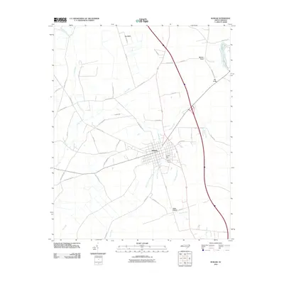 2010 Burgaw2010 Print · USGSBurgaw and its neighboring settlements are captured here in the early twenty-first century as the area continued its long history as a Pender County hub. Genealogists can trace property lines and roads like Bolick Rd, or locate the Burgaw Post Office and the community of Saint Helena.
 - 2010 Map of Maple Hill, 2010 Print
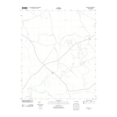 2010 Maple Hill2010 Print · USGSThe community of Maple Hill and the outlying settlement of Angola appear here at the start of the decade, situated among the wetlands of Pender County. Genealogists and local historians can trace family-named routes such as Ander Moore Road and landmarks like Maple Hill School Road.
 - 2010 Map of Topsail, 2010 Print
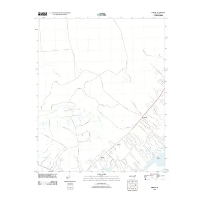 2010 Topsail2010 Print · USGSCoastal Pender County at the start of the 2010s shows a landscape of growing residential neighborhoods intermixed with deep-rooted Carolina wetlands. Researchers can trace property lines and legacy routes near Topsail Plantation, Nixon Landing, and the wide reaches of Trumpeter Swamp.
 - 2010 Map of Scotts Hill, 2010 Print
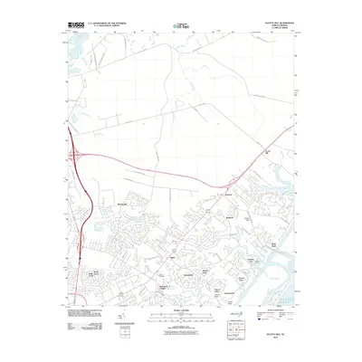 2010 Scotts Hill2010 Print · USGSThe coastal suburbs north of Wilmington are captured here in the early twenty-first century as modern neighborhoods expand toward the Atlantic. Genealogists and local historians can locate Prospect Cemetery and trace the waterfront development of Bayshore and Porters Neck.
 - 2010 Map of Hampstead, 2010 Print
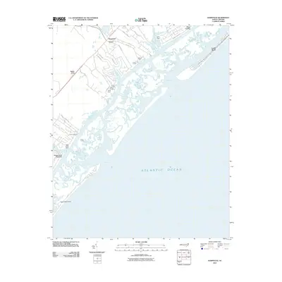 2010 Hampstead2010 Print · USGSCoastal Pender County at the start of the 21st century shows a landscape defined by sound-side landings and growing coastal communities. Genealogists and local historians can trace the development of Hampstead and Brown Town or locate historic access points like Old Point Landing and Kings Landing.
 - 2010 Map of Harrells, 2010 Print
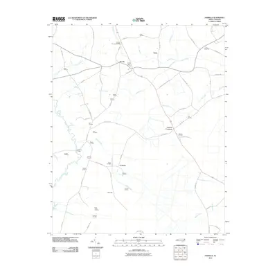 2010 Harrells2010 Print · USGSIn the rural coastal plain of North Carolina, this 2010 survey shows a landscape of family homesteads and blackwater creeks. Researchers can trace local lineage through numerous sites like Iron Mine Burial Park, Ezzelltown, and Newkirks Bridge.
 - 2010 Map of Currie, 2010 Print
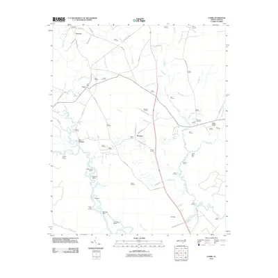 2010 Currie2010 Print · USGSCoastal Pender County at the start of the 2010s reveals a landscape deeply connected to the Black River and its myriad tributaries. Researchers can locate dozens of family burial sites such as Simpson Cemetery and Larkins Cemetery, or trace landings like Sykes Landing.
 - 2010 Map of Spicer Bay, 2010 Print
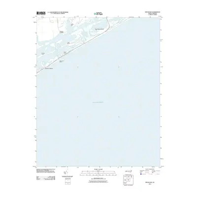 2010 Spicer Bay2010 Print · USGSCoastal North Carolina at the turn of the millennium reveals a landscape of growing barrier island communities and protected marshlands. Researchers can trace development patterns at North Topsail Beach or locate family sites near Thomas Landing and Turkey Point.
 - 2011 Map of Leland, 2011 Print
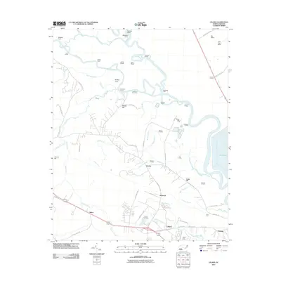 2011 Leland2011 Print · USGSCoastal North Carolina's riverine landscape comes into focus in this early 21st-century survey of the Leland and Navassa areas. Researchers can trace local heritage through sites like Cedar Hill Cemetery, Richards Crossing, and the various landings along the Cope Fear River.
Showing maps 1-25 of 130
Top cities of Pender County
- Burgaw historical maps
- Surf City historical maps
- Topsail Beach historical maps
- Atkinson historical maps
- Watha historical maps
- Hampstead historical maps
Frequently asked questions
- What are the different types of historical maps available for Pender County?
- What is the oldest map of Pender County?
- Where can I purchase historical maps of Pender County for my home or office?
- Where can I download high-res historical maps of Pender County?
- Are there historical topographic maps available for Pender County?
- Is there historical aerial imagery available for Pender County?
- Where are historical maps of Pender County sourced from?