2020s Maps of Pender County, North Carolina
Explore 26 historic maps of Pender County from the 2020s. These maps offer a rare glimpse into what life looked like during the 2020s — showing old roads, neighborhoods, homes, and landmarks that have changed or disappeared over time.
Whether you're researching your family's past, planning a metal detecting trip, or studying how Pender County's landscape evolved across the 2020s, these high-resolution maps are a powerful tool for exploring the history of this region.
- Focus on a specific era: All maps on this page are from the 2020s, giving you a focused view of this time period.
- See what’s changed: Compare century-old streets, trails, and buildings to today's modern landscape using overlays and satellite layers.
- Research with precision: Use these maps for genealogy, historical research, land use analysis, or educational projects.
- View, download, or print: Maps are fully viewable online in high resolution, and can be downloaded or printed for your own records.
Start exploring Pender County's history through authentic maps from the 2020s. This is your window into the past.
Pender County, NC maps
(26)- 2022 Map of Burgaw, 2022 Print
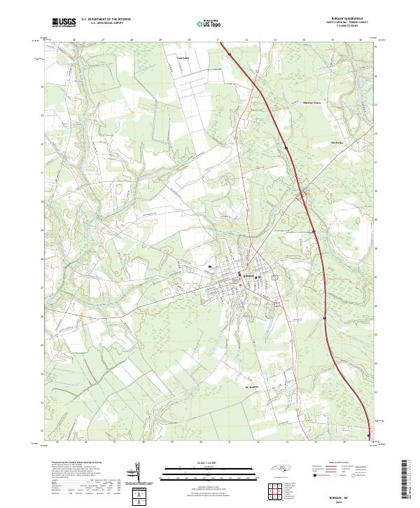 2022 Burgaw2022 Print · USGSCoastal Pender County at the start of the 2020s shows the enduring layout of the county seat and its outlying agrarian settlements. Researchers can trace the development of Burgaw around the Pender County Courthouse or locate old rural centers like St. Helena and Murray Town.
 - 2022 Map of Hampstead OE E, 2022 Print
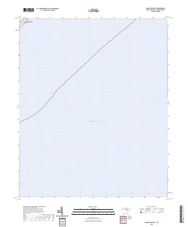 2022 Hampstead OE E2022 Print · USGSThe Pender County coastline at Topsail Beach is captured in this recent survey of North Carolina’s barrier islands. Genealogists and local researchers can trace the coastal layout and street names like Bridgers Ave along the edge of the Atlantic Ocean.
 - 2022 Map of Rowan, 2022 Print
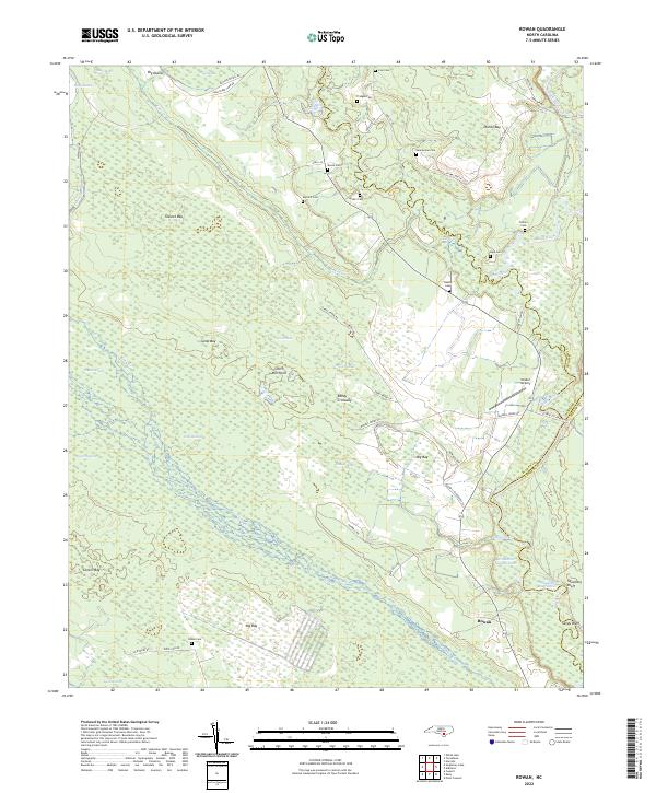 2022 Rowan2022 Print · USGSThe river bottoms and Carolina bays of the North Carolina coastal plain are shown here in modern detail. Genealogists and local historians can locate numerous family burial grounds like Salem Cem and Bannerman Cem tucked away near Rowan and Reedy Crossway.
 - 2022 Map of Kelly, 2022 Print
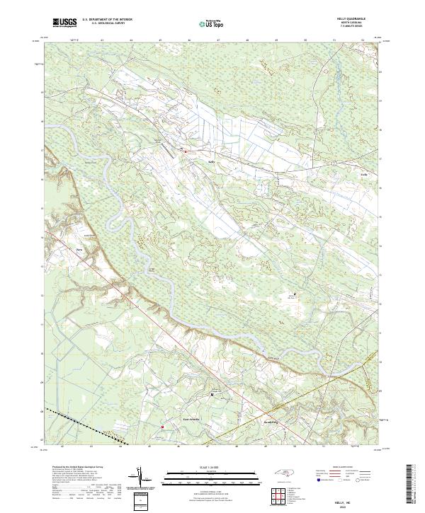 2022 Kelly2022 Print · USGSCoastal North Carolina riverlands come alive in this recent survey of the Bladen and Columbus county border. Researchers can trace rural lineages through Frenches Creek Church, Graham Chapel Cem, and river crossings near Locks Point.
 - 2022 Map of Maple Hill, 2022 Print
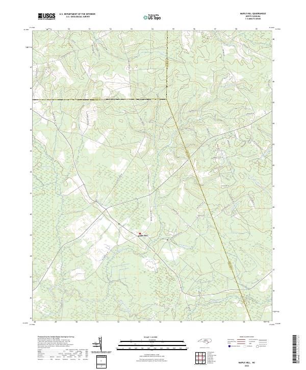 2022 Maple Hill2022 Print · USGSCoastal Pender County and its neighbors come alive in this modern survey of the swamp-fed lowlands. Genealogists can trace family-named routes like Sholar Mill Rd and Gurganus Rd near the sprawling Angola Swamp.
 - 2022 Map of Harrells, 2022 Print
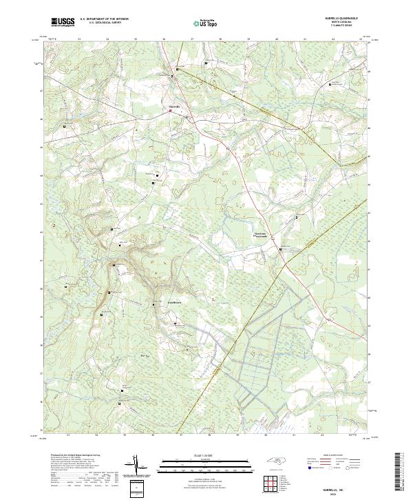 2022 Harrells2022 Print · USGSSampson and Duplin counties are captured here in the early twenty-first century, showing a rural landscape woven together by blackwater creeks and family homesteads. Genealogists can locate numerous burial sites such as Johnson Cem and the Iron Mine Burial Ground, or trace the winding course of the Black River.
 - 2022 Map of Point Caswell, 2022 Print
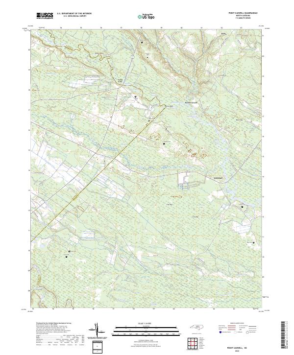 2022 Point Caswell2022 Print · USGSCoastal plains and riverine lowlands dominate this corner of Pender County in the early 2020s. Genealogists can trace family landmarks and rural burial grounds like Larkins Cem, Long Bluff Cem, and the riverfront settlement at Point Caswell.
 - 2022 Map of Pin Hook, 2022 Print
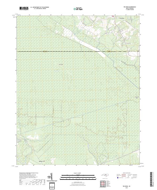 2022 Pin Hook2022 Print · USGSThe coastal plains of Pender and Duplin counties are captured here in the early 2020s, showcasing a landscape defined by expansive wetlands. Researchers can trace rural landmarks like Pin Hook and Shelter Neck, or locate family-named routes such as Tim Cavenaugh Ln.
 - 2022 Map of Costin, 2022 Print
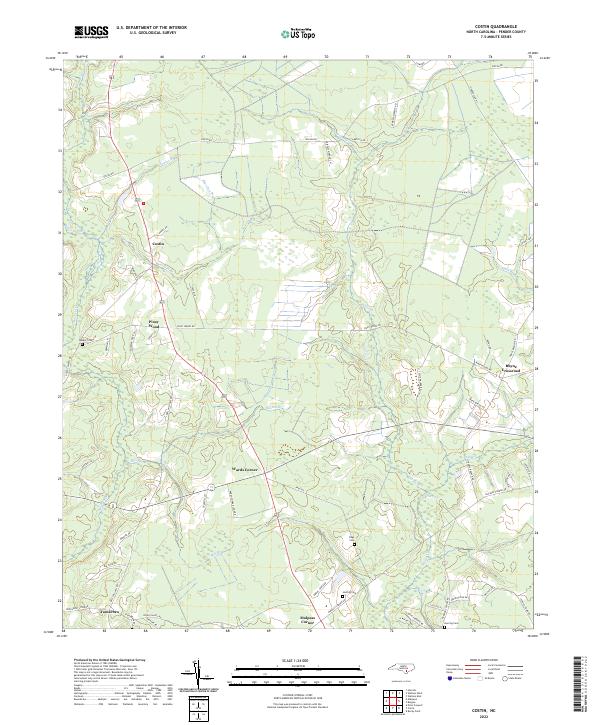 2022 Costin2022 Print · USGSPender County is shown in the early 2020s as a landscape of rural communities and intricate wetlands. Genealogists can locate family landmarks like Walker Cemetery, Herring Cemetery, and old settlements at Costin and Wards Corner.
 - 2022 Map of Atkinson, 2022 Print
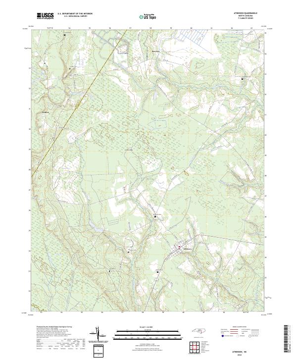 2022 Atkinson2022 Print · USGSCoastal Pender County at the start of the 2020s reveals a landscape defined by the Black River and extensive bay wetlands. Genealogists can trace family footprints across several rural burial grounds, including Atkinson Cem, Woodcock Cem, and Newtown Cem.
 - 2022 Map of Wallace West, 2022 Print
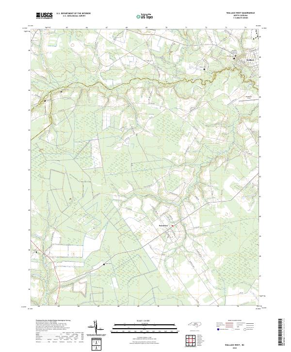 2022 Wallace West2022 Print · USGSThe coastal plain of Pender and Duplin Counties appears here in the early 2020s, showing a landscape of rural crossroads and intricate stream networks. Genealogists can locate family burial sites like Gurganus Cem and White Cem or trace the lands near Penderlea.
 - 2022 Map of Rocky Point, 2022 Print
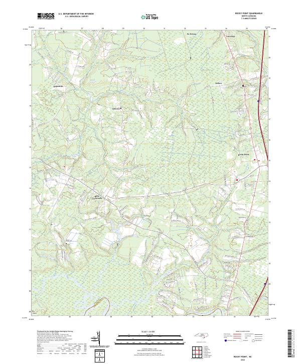 2022 Rocky Point2022 Print · USGSCoastal Pender County in the early 2020s shows a landscape of established rural communities defined by the winding Northeast Cape Fear River. Genealogists and local historians can locate Rileys Creek Cem, trace the lanes through St. Helena, or explore the expanse of the Burgaw Savannah.
 - 2022 Map of Scotts Hill, 2022 Print
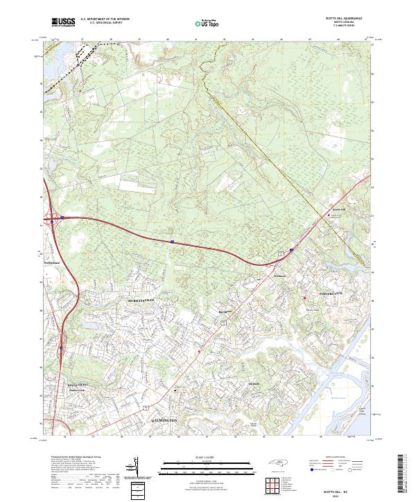 2022 Scotts Hill2022 Print · USGSNew Hanover County's northern coastal corridor is documented here during a period of significant suburban growth. Researchers can trace ancestral roots and old land divisions at Poplar Grove Plantation Cem or follow the waters of Middle Sound and Pages Creek.
 - 2022 Map of Wallace East, 2022 Print
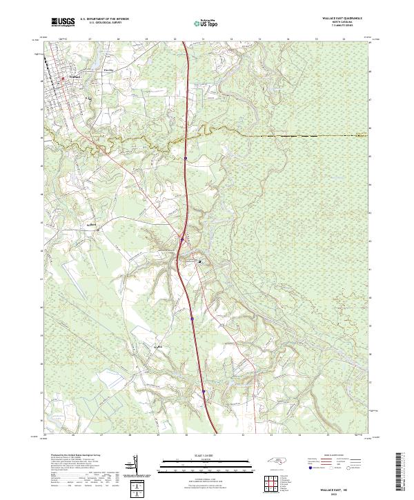 2022 Wallace East2022 Print · USGSCoastal plain communities and wetlands define this Pender County landscape in the early 2020s. Genealogists and local historians can trace family roots through the streets of Wallace, explore the vicinity of Boney Mill Pond, or locate the rural crossroads of Tin City and Watha.
 - 2022 Map of Spicer Bay, 2022 Print
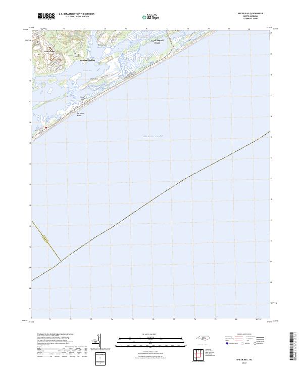 2022 Spicer Bay2022 Print · USGSCoastal Onslow County is seen here in the early 2020s, showing the residential expansion from Holly Ridge to the barrier island shores. Researchers can trace the developed waterfronts of North Topsail Beach and Sea Haven Beach or locate landings like Thomas Landing.
 - 2022 Map of Castle Hayne, 2022 Print
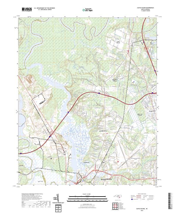 2022 Castle Hayne2022 Print · USGSThe riverine landscape north of Wilmington comes into focus in this early twenty-first-century survey of New Hanover County. Researchers can trace the development of Wrightsboro and Hightsville or locate historic sites like Shoulder Branch Cem and Eagle Island.
 - 2022 Map of Maple Hill SW, 2022 Print
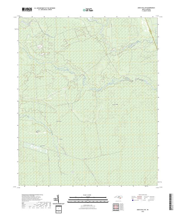 2022 Maple Hill SW2022 Print · USGSCoastal North Carolina wetlands define this contemporary landscape at the Pender and Onslow county line. Researchers can trace the drainage of Holly Shelter Swamp and locate named high points like Bryants Ridge and Pine Island.
 - 2022 Map of Stag Park, 2022 Print
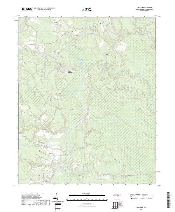 2022 Stag Park2022 Print · USGSPender County's riverine landscape comes into focus in the early 2020s, showing the intersection of rural life and aviation. Researchers can trace family-named settlements like White Stocking and Walkers or locate the airfield at Stag Air Park.
 - 2022 Map of Topsail, 2022 Print
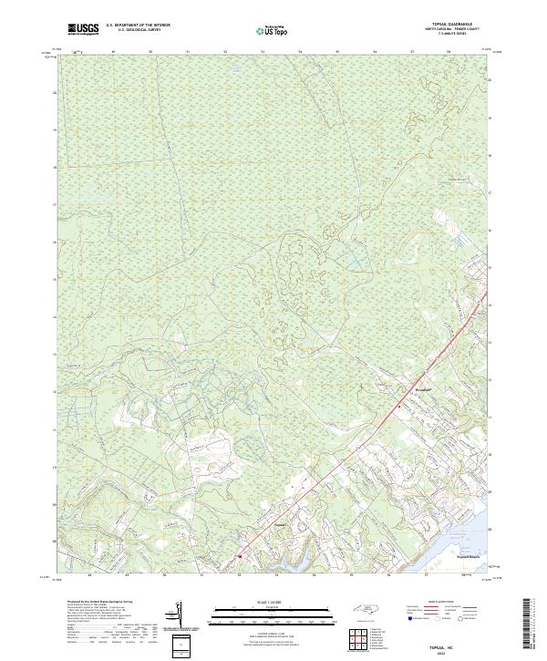 2022 Topsail2022 Print · USGSCoastal Pender County and its barrier islands are documented here during a period of significant residential expansion. Researchers can trace modern developments alongside maritime features like Holly Shelter Swamp, Topsail Sound, and Topsail Beach.
 - 2022 Map of Folkstone, 2022 Print
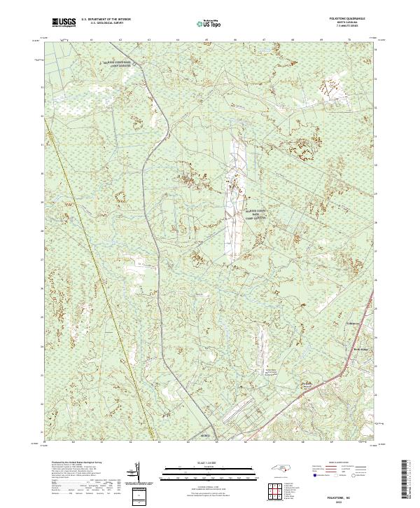 2022 Folkstone2022 Print · USGSEastern Onslow County at the start of the 2020s shows a landscape of expansive wetlands and coastal settlements. Genealogists and researchers can trace the roads around Folkstone and Holly Ridge or locate the Camp Davis Marine Corps Outlying Field.
 - 2022 Map of Mooretown, 2022 Print
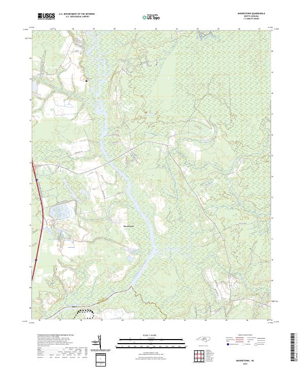 2022 Mooretown2022 Print · USGSCoastal Pender County reveals its riverine character in this contemporary survey of the wetlands north of Wilmington. Genealogists and local historians can trace family-named landmarks like Ashe Cem or follow the winding Northeast Cape Fear River past Mooretown.
 - 2022 Map of Holly Ridge, 2022 Print
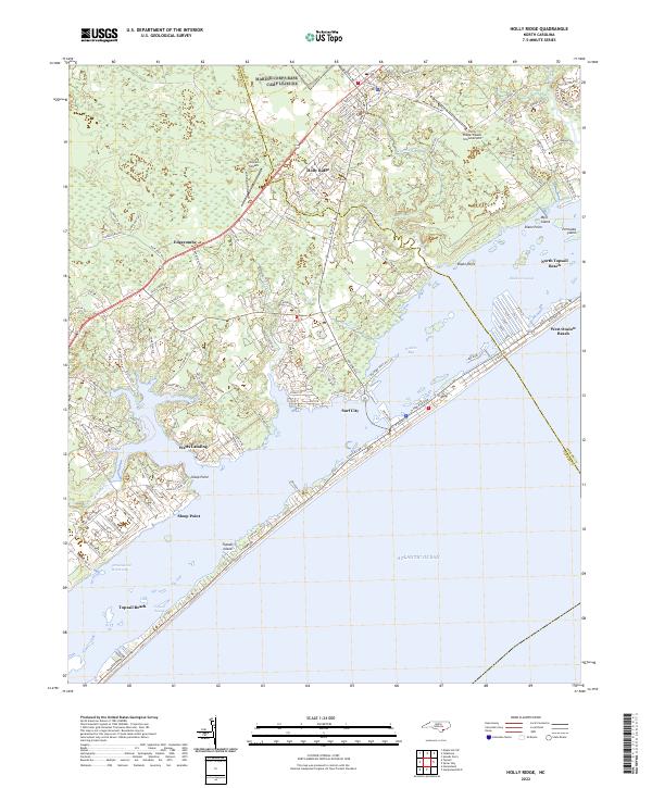 2022 Holly Ridge2022 Print · USGSThe North Carolina coast at Holly Ridge and Surf City comes into focus during this recent era of beach development and maritime travel. Researchers can trace land use from the Intracoastal Waterway to the runways of the Holly Ridge/Topsail Island Airport.
 - 2022 Map of Hampstead, 2022 Print
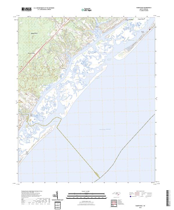 2022 Hampstead2022 Print · USGSThe Pender County coastline and the growing community of Hampstead are captured in this contemporary look at North Carolina's barrier islands. Genealogists and locals can trace land use near Brown Town, the shores of Topsail Island, and landmarks like Kings Landing.
 - 2022 Map of Leland, 2022 Print
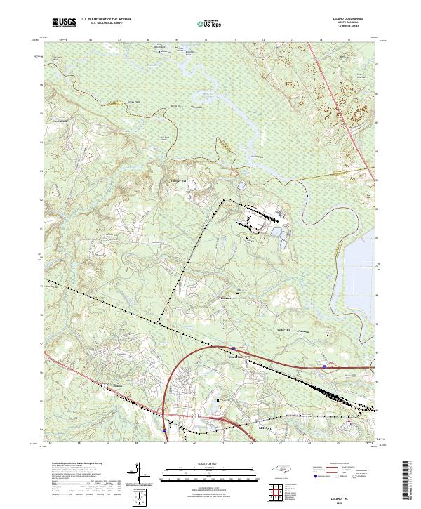 2022 Leland2022 Print · USGSThe coastal lowlands west of Wilmington are documented here in the early twenty-first century, showing the meeting of the Cape Fear River and Black River. Genealogists can trace local landmarks like Rhyne Grave, Cedar Hill Cem, and the communities of Phoenix and Navassa.
 - 2022 Map of Acme, 2022 Print
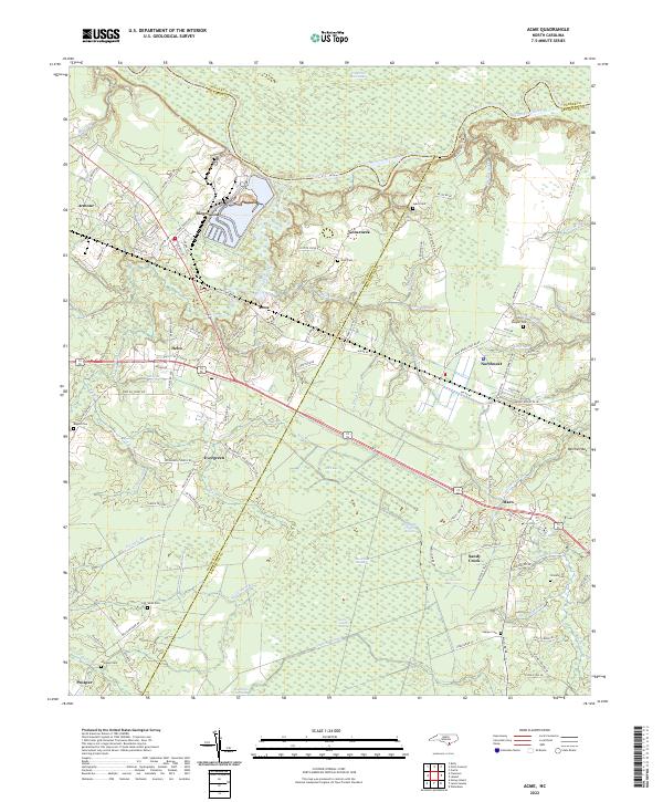 2022 Acme2022 Print · USGSBrunswick and Columbus counties come together in this early twenty-first-century survey of the North Carolina coastal plain. Researchers can locate several family burial grounds including Skipper Cem and Atkinson Cem alongside settlements like Acme and Delco.
Showing maps 1-25 of 26
Top cities of Pender County
- Burgaw historical maps
- Surf City historical maps
- Topsail Beach historical maps
- Atkinson historical maps
- Watha historical maps
- Hampstead historical maps
Frequently asked questions
- What are the different types of historical maps available for Pender County?
- What is the oldest map of Pender County?
- Where can I purchase historical maps of Pender County for my home or office?
- Where can I download high-res historical maps of Pender County?
- Are there historical topographic maps available for Pender County?
- Is there historical aerial imagery available for Pender County?
- Where are historical maps of Pender County sourced from?