2000s (21st Century) Maps of Randolph County, North Carolina
Explore 101 historic maps of Randolph County from the 2000s (21st Century). These maps offer a rare glimpse into what life looked like during the 2000s — showing old roads, neighborhoods, homes, and landmarks that have changed or disappeared over time.
Whether you're researching your family's past, planning a metal detecting trip, or studying how Randolph County's landscape evolved across the 2000s, these high-resolution maps are a powerful tool for exploring the history of this region.
- Focus on a specific era: All maps on this page are from the 2000s, giving you a focused view of this time period.
- See what’s changed: Compare century-old streets, trails, and buildings to today's modern landscape using overlays and satellite layers.
- Research with precision: Use these maps for genealogy, historical research, land use analysis, or educational projects.
- View, download, or print: Maps are fully viewable online in high resolution, and can be downloaded or printed for your own records.
Start exploring Randolph County's history through authentic maps from the 2000s. This is your window into the past.
Randolph County, NC maps
(101)- 2002 Map of High Point East, 2004 Print
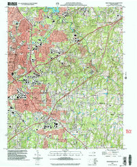 2002 High Point East2004 Print · USGSHigh Point and its surrounding suburbs were in a phase of significant modern growth at the turn of the millennium. Researchers can trace the development of High Point University and find local landmarks like Green Hill Cem, Freeman Mill, and the community of Archdale.
 - 2010 Map of Fair Grove, 2010 Print
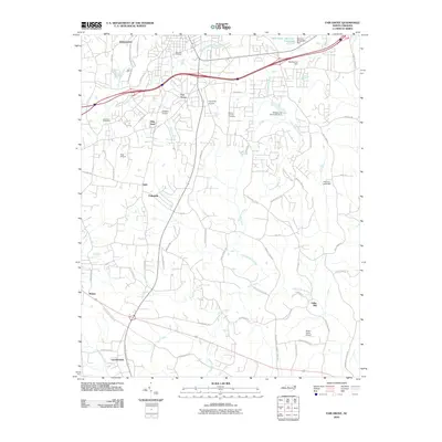 2010 Fair Grove2010 Print · USGSDavidson County at the dawn of the 2010s shows a landscape of clustered hamlets and private airfields connected by winding Piedmont roads. Genealogists and local historians can trace family-named sites from Holly Hill Cemetery to the old settlement at Fuller Mill.
 - 2010 Map of High Point West, 2010 Print
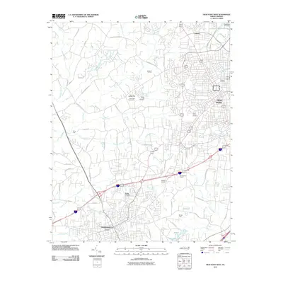 2010 High Point West2010 Print · USGSThe growing corridor between Thomasville and High Point is captured here during the first decade of the 2000s. Local researchers can pinpoint residential growth near Erwin Heights, trace regional water patterns at Oak Hollow Lake, and locate community landmarks like Spring Hill Cemetery.
 - 2010 Map of Denton, 2010 Print
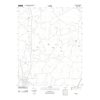 2010 Denton2010 Print · USGSDenton and its northern environs are shown in this modern survey of the North Carolina Piedmont. Genealogists and local historians can trace family-named routes and landmarks near Silver Valley, Cedar Springs Cemetery, and the heights of Steep Rock Mountain.
 - 2010 Map of Randleman, 2010 Print
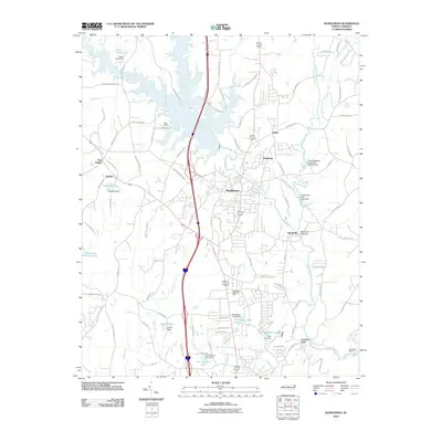 2010 Randleman2010 Print · USGSRandolph County's river-driven landscape is captured here in the early 2000s as the Deep River connects a string of historic mill towns and rural communities. Researchers can trace local developments from Worthville to Central Falls or locate landmarks like Randolph Memorial Park.
 - 2010 Map of Ramseur, 2010 Print
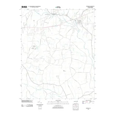 2010 Ramseur2010 Print · USGSRandolph County's textile and milling heritage is preserved here in the early twenty-first century, centered on the river towns of Franklinville and Ramseur. Trace family roots and local industry through features like the Randolph Mill Dam, Old Salem Cemetery, and the heights of Pilot Mountain.
 - 2010 Map of Pleasant Garden, 2010 Print
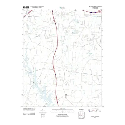 2010 Pleasant Garden2010 Print · USGSThe rural-to-suburban transition south of Greensboro is captured here in the early twenty-first century. Researchers can trace family-named lands and local landmarks from Coltranes Mill to the community of Pleasant Garden.
 - 2010 Map of High Point East, 2010 Print
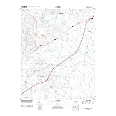 2010 High Point East2010 Print · USGSGuilford County underwent significant growth in the decade leading up to 2010, blending historic river settlements with modern residential expansion. Researchers can trace ancestral locations near Green Hill Cemetery or explore the sites of Freeman Mill and Miles Crossroad.
 - 2010 Map of Bennett, 2010 Print
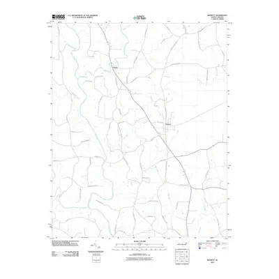 2010 Bennett2010 Print · USGSBennett and Cheeks are documented in the Piedmont of North Carolina during the early twenty-first century as the Deep River winds through a landscape of family-named roads. Genealogists can trace local lineages along Clint Caviness Rd, Joe Branson Rd, and Billy Brady Rd.
 - 2010 Map of Grays Chapel, 2010 Print
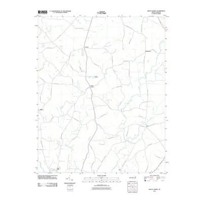 2010 Grays Chapel2010 Print · USGSRandolph County's rural character is on full display in this early 21st-century survey of the Piedmont landscape. Researchers can trace family-named landmarks and small community hubs like Grays Chapel, Melanchton, and the riverfront at Cedar Falls.
 - 2010 Map of Kimesville, 2010 Print
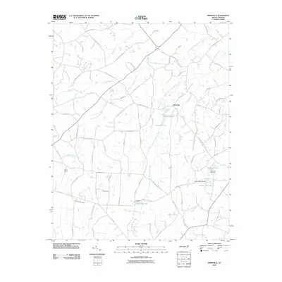 2010 Kimesville2010 Print · USGSThe rural crossing at Kimesville was still primarily defined by its creek systems and family-owned lands in the early 21st century. Genealogists and historians can trace local development via Kimesville Lake, Causey Airport, and the historic site of Staley Mill Lake.
 - 2010 Map of Climax, 2010 Print
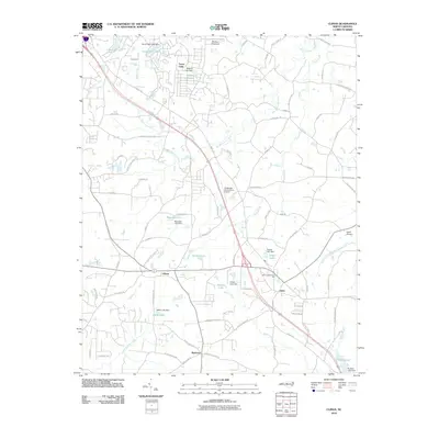 2010 Climax2010 Print · USGSSouthern Guilford County at the start of the 2010s shows a landscape of small reservoirs and rural crossroads. Local historians can trace the development of Climax and Julian, alongside regional landmarks like Gilmore Memorial Park and Southeast Greensboro Airport.
 - 2010 Map of Coleridge, 2010 Print
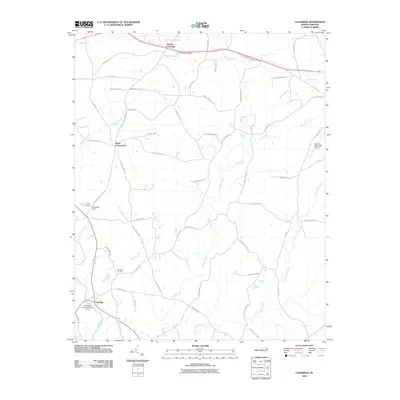 2010 Coleridge2010 Print · USGSColeridge and the surrounding Randolph County countryside are captured here in the early twenty-first century. Researchers can trace local genealogy and industry through sites like Concord Cemetery, the D B Walker Shoe Company Dam, and Browns Crossroads.
 - 2010 Map of Liberty, 2010 Print
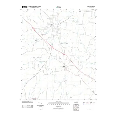 2010 Liberty2010 Print · USGSLiberty and Staley appear in this modern survey as the town centers for a rural landscape dominated by the headwaters of the Rocky River. Genealogists can trace family heritage through landmarks like Old McMasters Cemetery, Marley Cemetery, and Hinshaw Airport.
 - 2010 Map of Glenola, 2010 Print
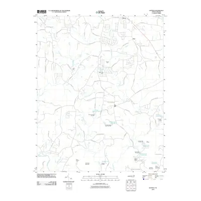 2010 Glenola2010 Print · USGSThe North Carolina Piedmont in the early 2000s reflects a landscape shaped by rural roots and sprawling recreation camps. Researchers can trace land ownership and legacy sites near Shepherd Mountain or explore the many camp sites like Camp Keyauwee and Mundo Vista.
 - 2011 Map of Handy, 2011 Print
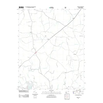 2011 Handy2011 Print · USGSDavidson County’s rural crossroads and rolling waterways are captured here during the early twenty-first century. Genealogists and local historians can trace family-named landmarks like the Russell Cemetery or explore the settlements of Handy, Martha, and New Hope.
 - 2011 Map of Asheboro, 2011 Print
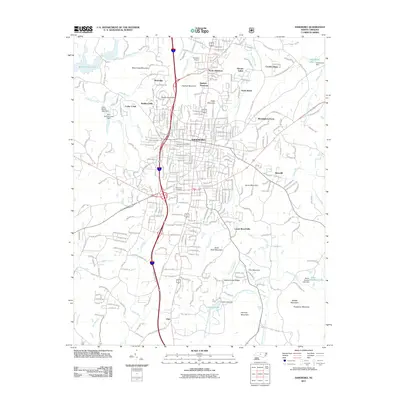 2011 Asheboro2011 Print · USGSAsheboro and its suburban outskirts are captured in detail at the turn of the decade, showing the city's transition into the surrounding hills. Genealogists and local historians can locate Oak Lawn Cemetery, the community of Ulah, and landmarks like Hinshaw Airport.
 - 2011 Map of Seagrove, 2011 Print
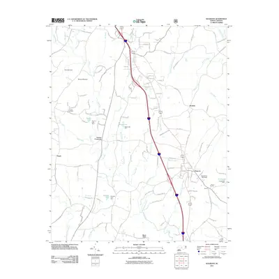 2011 Seagrove2011 Print · USGSSeagrove and its surrounding rural hamlets are documented here in the early 2000s as the community evolved alongside the Little River. Researchers can locate old family landmarks and burial sites such as Whynot Cemetery, Aumans Crossroads, and the interestingly named Black Ankle.
 - 2011 Map of Erect, 2011 Print
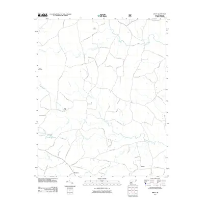 2011 Erect2011 Print · USGSThe rural communities of Jugtown and Erect are captured in this modern survey of Moore County's traditional pottery and milling country. Genealogists and historians can locate old industrial landmarks like Lambert Mill, Yow Mill, and the settlement of Westmore.
 - 2011 Map of Farmer, 2011 Print
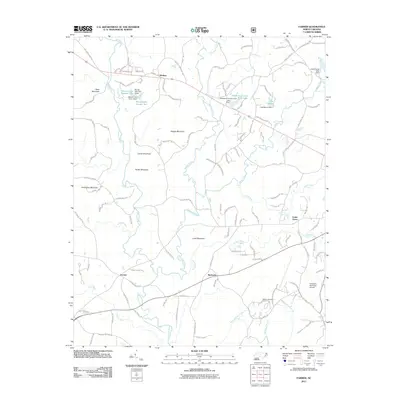 2011 Farmer2011 Print · USGSRandolph County's rural heartland is captured here in the early twenty-first century, showing a landscape defined by the Uwharrie River and ancient peaks. Researchers can trace family ties through settlements like Farmer and Mechanic, or locate the Balfour Cemetery and Asheboro Municipal Airport.
 - 2011 Map of Eleazer, 2011 Print
 2011 Eleazer2011 Print · USGSRandolph County's rural landscape is captured here in the early twenty-first century, centered on the community of Eleazer. Researchers can trace old family footprints along Lassiter Mill Rd or locate historic landmarks near Pisgah Covered Bridge Rd.
 - 2013 Map of Eleazer, 2013 Print
 2013 Eleazer2013 Print · USGSThe Randolph County uplands are documented here in the early twenty-first century, showing the rural landscape around the Eleazer community. Researchers can trace family-named roads and topographic landmarks from King Mountain to the banks of the Uwharrie River.
 - 2013 Map of Ramseur, 2013 Print
 2013 Ramseur2013 Print · USGSThe river towns of Ramseur and Franklinville are captured along the Deep River as they appeared a decade ago. Local historians can trace the rural road networks surrounding Pilot Mountain and locate landmarks like the Smith Air Strip Airport and Carter Lake.
 - 2013 Map of Randleman, 2013 Print
 2013 Randleman2013 Print · USGSRandolph County in the early twenty-first century shows a landscape shaped by the Deep River and major highway development. Trace local history through established communities like Randleman and Worthville, or find family-named landmarks like East Buttke Dam.
 - 2013 Map of Pleasant Garden, 2013 Print
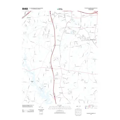 2013 Pleasant Garden2013 Print · USGSGuilford County appears here in the early twenty-first century, showing the evolving landscapes south of Greensboro. Researchers can trace historical sites and modern developments like Coltranes Mill, the airfield at Fields Airport, and the community of Pleasant Garden.
Showing maps 1-25 of 101
Top cities of Randolph County
- Asheboro historical maps
- Archdale historical maps
- Trinity historical maps
- Randleman historical maps
- Liberty historical maps
- Ramseur historical maps
See more
Frequently asked questions
- What are the different types of historical maps available for Randolph County?
- What is the oldest map of Randolph County?
- Where can I purchase historical maps of Randolph County for my home or office?
- Where can I download high-res historical maps of Randolph County?
- Are there historical topographic maps available for Randolph County?
- Is there historical aerial imagery available for Randolph County?
- Where are historical maps of Randolph County sourced from?