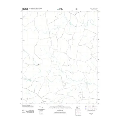
2011 Map of Erect
USGS Topo · Published 2011About this map
Jugtown and Erect anchor this rural landscape in Moore County, characterized by a complex network of small streams and historic water-powered sites. The mapping of Lambert Mill and Yow Mill along the Fork Creek drainage system indicates a legacy of local milling operations that once defined the economic life of these communities. These landmarks, alongside the Lambert Mill Dam, highlight the historical importance of water management for early industry in this portion of the Piedmont.
Find a feature on this map
81 named features on this map. Tap any name to fly to it.
Don’t see what you’re looking for? This feature index may not catch every label — zoom into the map to look around manually.
Map Details
Editions of this 2011 Erect Map
This is the sole edition of this map. No revisions or reprints were ever made.
Other maps of this area

1942 · Troy
USGS Topo · 1:125,000

1953 · Raleigh
USGS Topo · 1:250,000

1954 · Raleigh
USGS Topo · 1:250,000

1957 · Troy
USGS Topo · 1:62,500

1957 · Asheboro
USGS Topo · 1:62,500

1968 · Ramseur
USGS Topo · 1:24,000

1968 · Coleridge
USGS Topo · 1:24,000

1968 · Erect
USGS Topo · 1:24,000

1968 · Bennett
USGS Topo · 1:24,000

1970 · Asheboro
USGS Topo · 1:24,000