Old Maps of Maxton, North Carolina for Hiking & Exploration
Hike through history with 25 historic maps of Maxton. Explore old trails, ghost towns, and forgotten backroads — perfect for outdoor adventurers and local explorers.
- Rediscover forgotten places: Map out old mining camps, roads, and footpaths that no longer exist on modern maps.
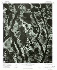
- Layer with modern tools: Combine with LiDAR or satellite views to plan hikes through historical terrain.
- Made for exploration: Popular among hikers, overlanders, and local history lovers.
Use these maps to find adventure and explore the hidden past of Maxton.
Maxton, NC maps
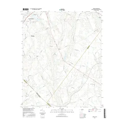
(25)- 1949 Map of Wakulla, 1953 Print
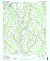
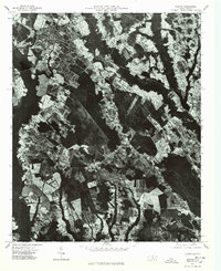
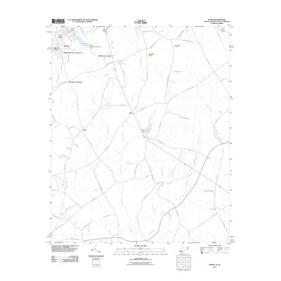
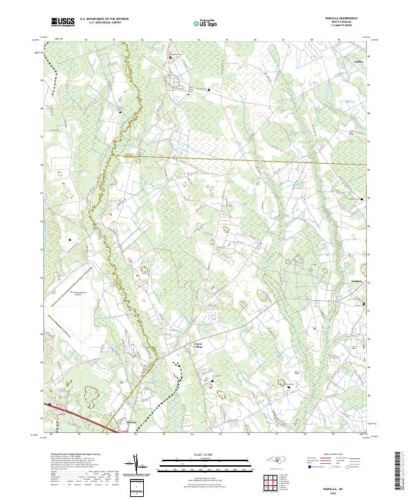
 1949 Wakulla1953 Print · USGSRobeson and Scotland counties appear here just after the war, where the Lumber River meets a network of lowland swamps. Genealogists can trace family names at Floral College, McPhatter Cem, and the rural Cherokee Sch.2 unique versions available
 - 1949 Map of Laurinburg, 1954 Print
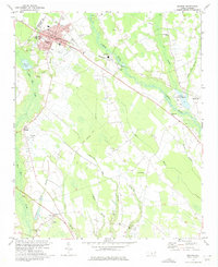
 1949 Laurinburg1954 Print · USGSThe mid-century landscape of Scotland County comes alive in this survey of a growing rail hub and its rural surroundings. Researchers can trace the lines of the Seaboard Air Line, locate historic institutions like Flora College, or find family landmarks such as McNeill Cem and Gaineys Place.
 - 1953 Map of Florence, 1964 Print
 1953 Florence1964 Print · USGSThe Carolina borderlands in the mid-fifties were a landscape of vast river swamps and rising rail towns. Trace the legacy of the Seaboard Air Line through Florence or explore the wetlands surrounding Lake Waccamaw and the Green Swamp.3 unique versions available
 - 1954 Map of Florence
 1954 Florence1954 Print · USGSThe Carolinas borderlands come alive in the early fifties, showing the vital rail-and-river networks of the coastal plain. Genealogists can trace family footprints across the Green Swamp or through settlements like Red Springs, Chadbourn, and McColl.
 - 1971 Map of Johns, 1975 Print
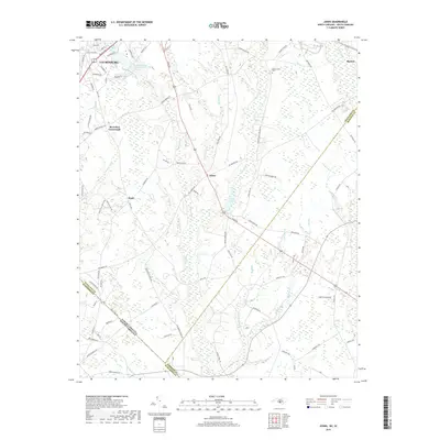
 1971 Johns1975 Print · USGSThe borderlands of North and South Carolina in the early seventies are captured here during a period of steady rural development. Genealogists and local historians can trace the foundations of St Andrews College or locate family sites near Stewartsville Cem and Zion Hill Ch.2 unique versions available
 - 1974 Map of Maxton, 1975 Print
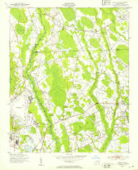
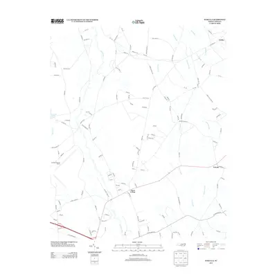
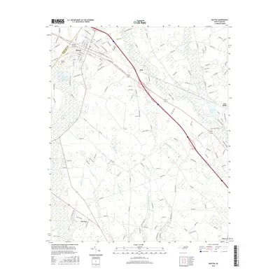
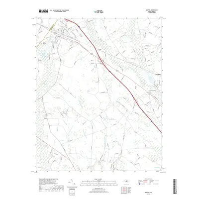
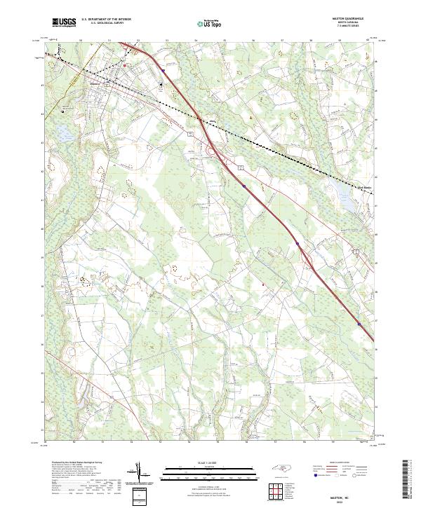
 1974 Maxton1975 Print · USGSMaxton and its surrounding rural communities are captured here in the mid-1970s, as the railroad and river define the local geography. Researchers can trace family history at sites like the Carolina Military Academy, McLeod Memorial Cem, and the Antioch Mission.2 unique versions available
 - 1976 Map of Wakulla, 1978 Print
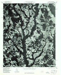
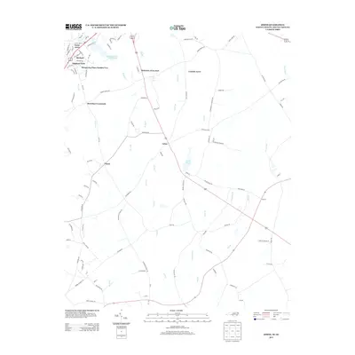
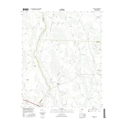
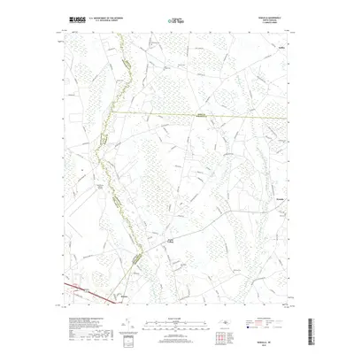
 1976 Wakulla1978 Print · USGSRobeson County in the mid-1970s is captured here in sharp aerial detail, showing the rural landscape just before significant modern development. Genealogists and local historians can trace the foundations of Floral College or locate homesites near Wakulla and the Lumber River.
 - 1976 Map of Maxton, 1978 Print
 1976 Maxton1978 Print · USGSRobeson County is captured in the mid-seventies through detailed aerial imagery showing the rural landscape around the Lumber River. Genealogists and local historians can trace the footprint of Maxton and outlying communities like Raemon.
 - 1976 Map of Johns, 1978 Print
 1976 Johns1978 Print · USGSScotland County's agrarian landscape is captured in the mid-seventies, showing the intersection of rural life and regional transport. Genealogists and historians can trace old property lines and farmsteads near Laurinburg, Johns, and Mc Arthur Crossroads.
 - 1983 Map of Laurinburg, 1984 Print
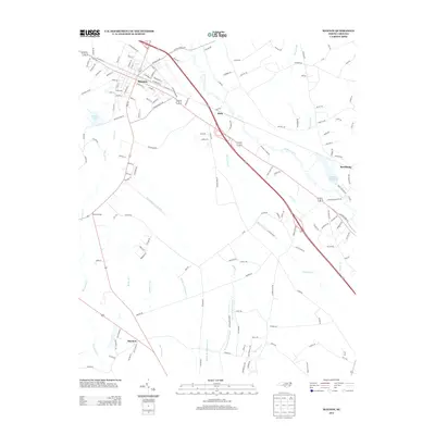
 1983 Laurinburg1984 Print · USGSThe Carolina borderlands come into focus in the early 1980s, showcasing a landscape defined by the Sandhills Game Land and major river systems. Genealogists and rail historians can trace the paths of the Seaboard Coast Line Railroad through Hamlet or locate St Andrews College and Cheraw State Park.2 unique versions available
 - 2010 Map of Wakulla, 2010 Print
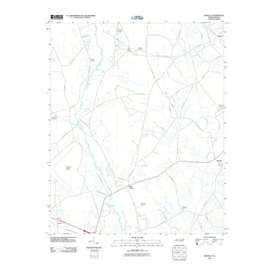 2010 Wakulla2010 Print · USGSCovers Maxton, including Floral College, Wakulla, and other nearby areas
 - 2010 Map of Maxton, 2010 Print
 2010 Maxton2010 Print · USGSCovers Maxton, including Raemon, Alma, and other nearby areas
 - 2011 Map of Johns, 2011 Print
 2011 Johns2011 Print · USGSCovers Maxton, including Laurinburg, Johns, and other nearby areas
 - 2013 Map of Wakulla, 2013 Print
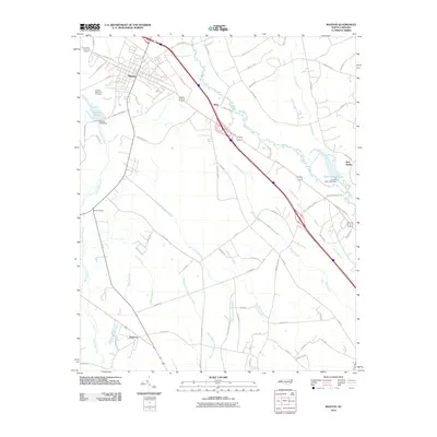
 2013 Wakulla2013 Print · USGSCovers Maxton, including Floral College, Wakulla, and other nearby areas
 - 2013 Map of Johns, 2013 Print
 2013 Johns2013 Print · USGSCovers Maxton, including Laurinburg, Johns, and other nearby areas
 - 2013 Map of Maxton, 2013 Print
 2013 Maxton2013 Print · USGSCovers Maxton, including Raemon, Alma, and other nearby areas
 - 2016 Map of Johns, 2016 Print
 2016 Johns2016 Print · USGSCovers Maxton, including Laurinburg, Johns, and other nearby areas
 - 2016 Map of Maxton, 2016 Print
 2016 Maxton2016 Print · USGSCovers Maxton, including Raemon, Alma, and other nearby areas
 - 2016 Map of Wakulla, 2016 Print
 2016 Wakulla2016 Print · USGSCovers Maxton, including Floral College, Wakulla, and other nearby areas
 - 2019 Map of Maxton, 2019 Print
 2019 Maxton2019 Print · USGSCovers Maxton, including Raemon, Alma, and other nearby areas
 - 2019 Map of Johns, 2019 Print
 2019 Johns2019 Print · USGSCovers Maxton, including Laurinburg, Johns, and other nearby areas
 - 2019 Map of Wakulla, 2019 Print
 2019 Wakulla2019 Print · USGSCovers Maxton, including Floral College, Wakulla, and other nearby areas
 - 2022 Map of Maxton, 2022 Print
 2022 Maxton2022 Print · USGSMaxton and the river lowlands of Robeson County are depicted here in contemporary detail. Researchers can trace family sites near Oak Grove Cem, navigate the winding course of the Lumber River, and locate rural settlements like Alma and Red Banks.
 - 2022 Map of Wakulla, 2022 Print
 2022 Wakulla2022 Print · USGSRobeson and Scotland counties are surveyed here in the early 2020s, showing a rural landscape defined by the winding Lumber River. Genealogists and local historians can trace family burial sites like McPhatter Cem and Smith Cem near the historic grounds of Floral College.
 - 2022 Map of Johns, 2022 Print
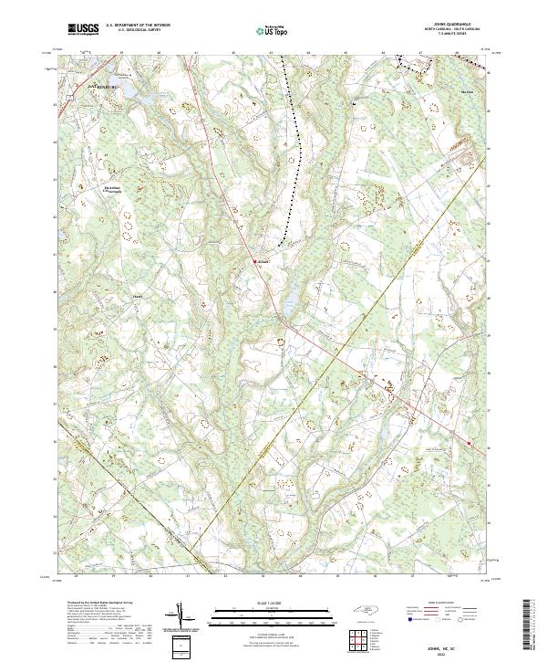 2022 Johns2022 Print · USGSThe North Carolina and South Carolina borderlands come into focus in this contemporary study of the Laurinburg and Johns area. Researchers can trace local heritage at Stewartsville Cem and explore community landmarks like Saint Andrews University and Johns Pond.
End of results
Showing maps 1-25 of 25
Top cities near Maxton
- Laurinburg historical maps
- Fairmont historical maps
- Pembroke historical maps
- McColl historical maps
- Laurel Hill historical maps
- Rowland historical maps
See more
Frequently asked questions
- What are the different types of historical maps available for Maxton?
- What is the oldest map of Maxton?
- Where can I purchase historical maps of Maxton for my home or office?
- Where can I download high-res historical maps of Maxton?
- Are there historical topographic maps available for Maxton?
- Is there historical aerial imagery available for Maxton?
- Where are historical maps of Maxton sourced from?