2020s Maps of Sampson County, North Carolina
Explore 28 historic maps of Sampson County from the 2020s. These maps offer a rare glimpse into what life looked like during the 2020s — showing old roads, neighborhoods, homes, and landmarks that have changed or disappeared over time.
Whether you're researching your family's past, planning a metal detecting trip, or studying how Sampson County's landscape evolved across the 2020s, these high-resolution maps are a powerful tool for exploring the history of this region.
- Focus on a specific era: All maps on this page are from the 2020s, giving you a focused view of this time period.
- See what’s changed: Compare century-old streets, trails, and buildings to today's modern landscape using overlays and satellite layers.
- Research with precision: Use these maps for genealogy, historical research, land use analysis, or educational projects.
- View, download, or print: Maps are fully viewable online in high resolution, and can be downloaded or printed for your own records.
Start exploring Sampson County's history through authentic maps from the 2020s. This is your window into the past.
Sampson County, NC maps
(28)- 2022 Map of Ammon, 2022 Print
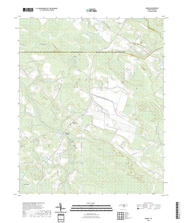 2022 Ammon2022 Print · USGSBladen County settlement and its distinctive Carolina bay landscape are shown here in the 2020s. Researchers can trace rural landmarks like Ammon Ford, the Charlie Long Millpond, and the curiously named Zombie Air Force Airport.
 - 2022 Map of Rowan, 2022 Print
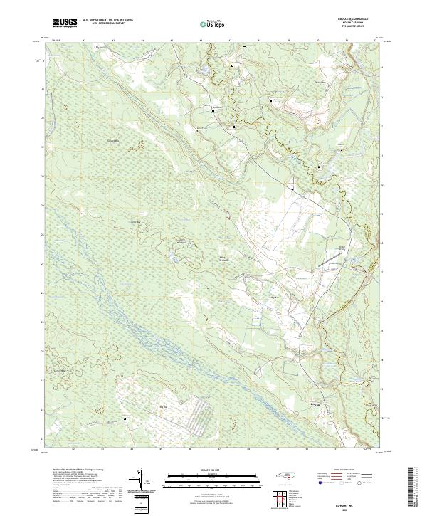 2022 Rowan2022 Print · USGSThe river bottoms and Carolina bays of the North Carolina coastal plain are shown here in modern detail. Genealogists and local historians can locate numerous family burial grounds like Salem Cem and Bannerman Cem tucked away near Rowan and Reedy Crossway.
 - 2022 Map of Garland, 2022 Print
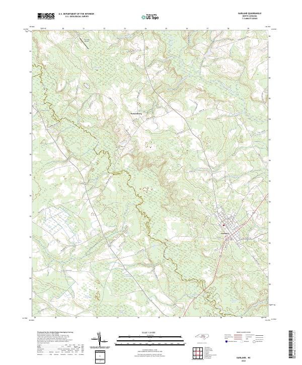 2022 Garland2022 Print · USGSGarland and Parkersburg anchor this part of the coastal plain in the early 2020s, a landscape defined by its unique wetlands. Trace the margins of Dismal Bay and Indian Camp Bay or locate the historic Johnson Mill Race and Twin Oak Airport.
 - 2022 Map of Harrells, 2022 Print
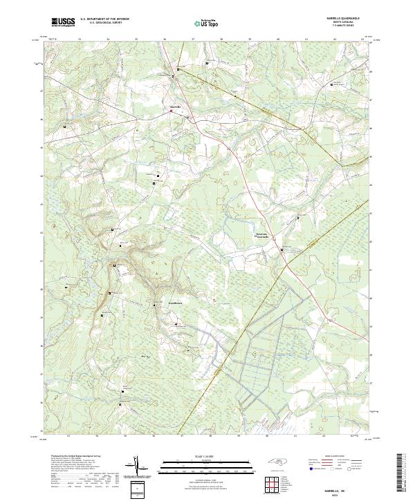 2022 Harrells2022 Print · USGSSampson and Duplin counties are captured here in the early twenty-first century, showing a rural landscape woven together by blackwater creeks and family homesteads. Genealogists can locate numerous burial sites such as Johnson Cem and the Iron Mine Burial Ground, or trace the winding course of the Black River.
 - 2022 Map of Bonnetsville, 2022 Print
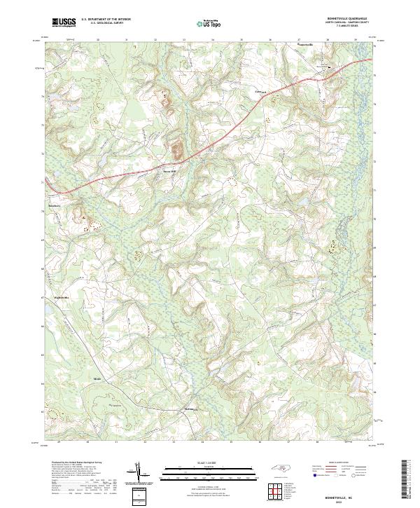 2022 Bonnetsville2022 Print · USGSCoastal plain settlements and winding creek basins define this part of Sampson County in the early twenty-first century. Genealogists and local historians can trace the rural landscape between Roseboro and Bonnetsville, identifying landmarks like Old Savanna and Mintz.
 - 2022 Map of Delway, 2022 Print
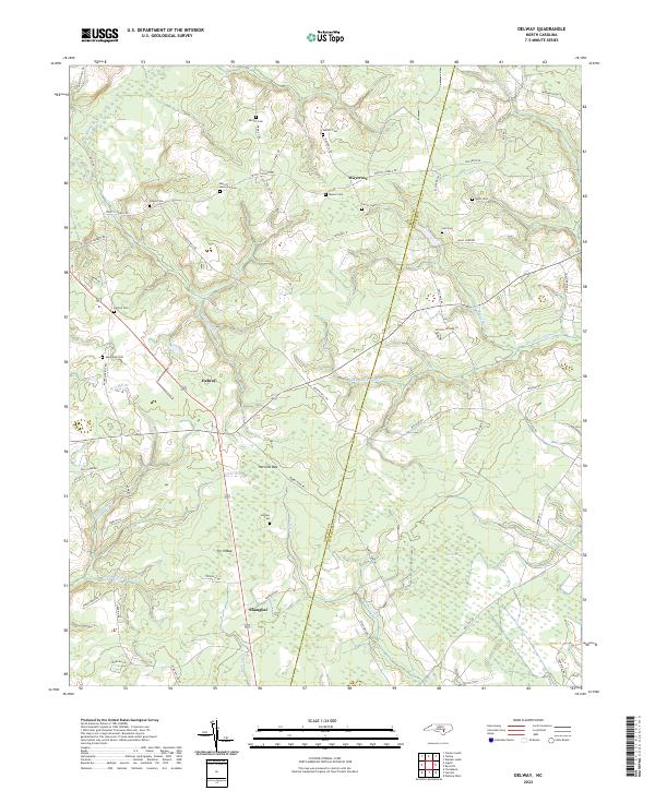 2022 Delway2022 Print · USGSThe rural borderlands of Sampson and Duplin counties are captured here in the early twenty-first century, showcasing a landscape of isolated hamlets and Carolina bays. Genealogists can trace family landmarks like Merritt Memorial Cem, Benton Cem, and the community of Shanghai.
 - 2022 Map of Atkinson, 2022 Print
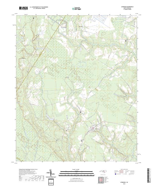 2022 Atkinson2022 Print · USGSCoastal Pender County at the start of the 2020s reveals a landscape defined by the Black River and extensive bay wetlands. Genealogists can trace family footprints across several rural burial grounds, including Atkinson Cem, Woodcock Cem, and Newtown Cem.
 - 2022 Map of Wallace West, 2022 Print
 2022 Wallace West2022 Print · USGSThe coastal plain of Pender and Duplin Counties appears here in the early 2020s, showing a landscape of rural crossroads and intricate stream networks. Genealogists can locate family burial sites like Gurganus Cem and White Cem or trace the lands near Penderlea.
 - 2022 Map of Ingold, 2022 Print
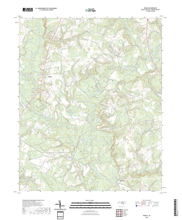 2022 Ingold2022 Print · USGSSampson County settlement at the turn of the twenty-first century centers on the riverine junctions of the Black River. Genealogists and local historians can trace family-named routes and landmarks near Ingold, Clear Run, and the winding Six Runs Creek.
 - 2022 Map of Stedman, 2022 Print
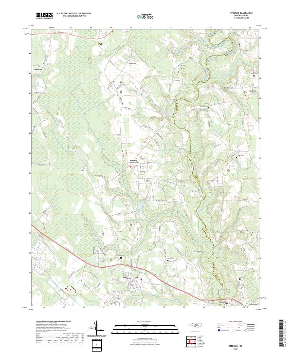 2022 Stedman2022 Print · USGSStedman and its surrounding farming communities are shown during the early 2020s as the landscape transitions across the South River. Trace family roots and local landmarks at Bethany Crossroads, the Fisher Cem, and Maxwell Millpond.
 - 2022 Map of Dobbersville, 2022 Print
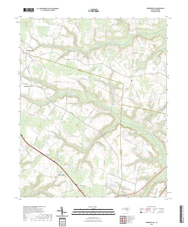 2022 Dobbersville2022 Print · USGSSampson and Wayne County borderlands are mapped here in the early 2020s, showing a landscape defined by traditional agriculture and vast wetlands. Researchers can trace rural lineages through named crossroads like Dobbersville and Suttontown or locate family lands near Bear Pocosin and Goshen Swamp.
 - 2022 Map of Mingo, 2022 Print
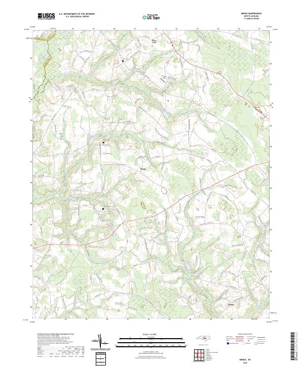 2022 Mingo2022 Print · USGSSampson County's rural heartland is documented here in the early twenty-first century, showing a landscape shaped by slow-moving creek basins. Local historians can trace family ties at Naylor Cem or explore the community hubs of Mingo and Plain View.
 - 2022 Map of Dunn, 2022 Print
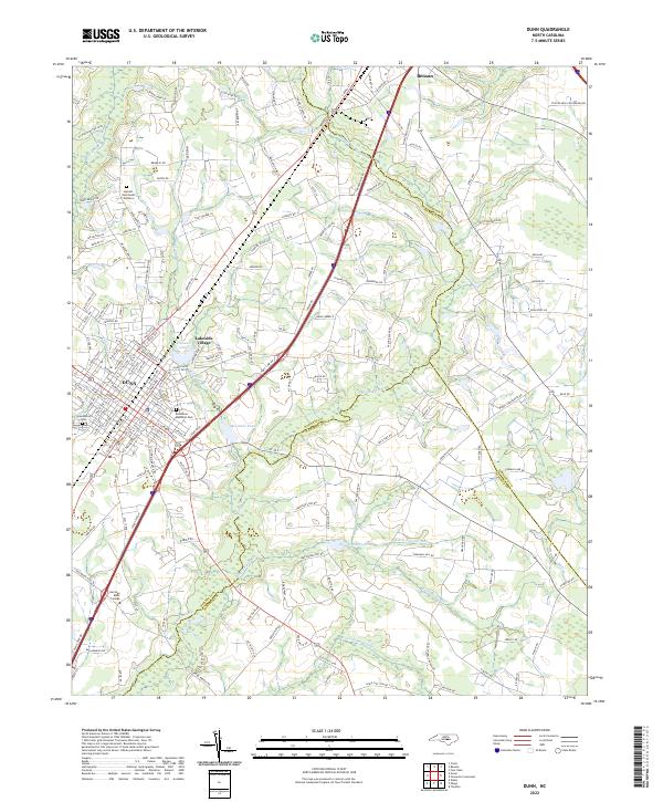 2022 Dunn2022 Print · USGSThe transition from the Piedmont to the Coastal Plain is evident in this recent look at Dunn and Benson. Researchers can trace the layout of local institutions like Heritage Bible College and community landmarks such as Greenwood Cem.
 - 2022 Map of Peacocks Crossroads, 2022 Print
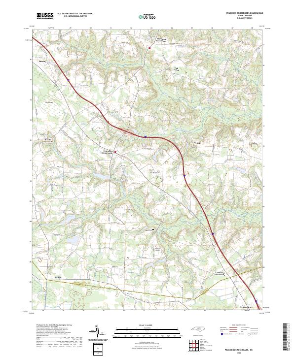 2022 Peacocks Crossroads2022 Print · USGSCoastal plain crossroads and swampy lowlands define this Johnston County landscape in the early twenty-first century. Researchers can trace rural family roots and landmarks from Lees Mill and Barefoot Cem to the unique terrain of The Dismal.
 - 2022 Map of Salemburg, 2022 Print
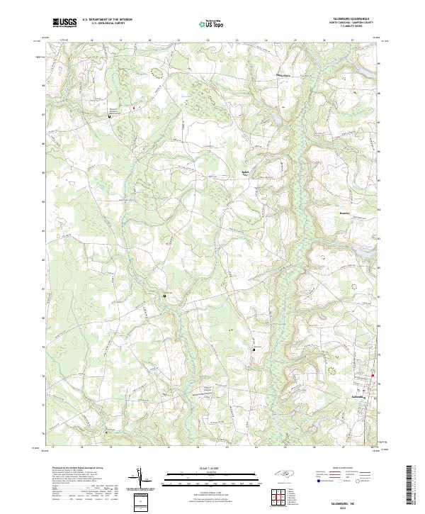 2022 Salemburg2022 Print · USGSCoastal plain settlements and family-named cemeteries dominate this recent survey of Sampson County, North Carolina. Researchers can trace land use patterns near Salemburg and locate ancestral sites like Halls Cem or the Minson M Williams Memorial Cem along the Big Swamp drainage.
 - 2022 Map of Newton Grove North, 2022 Print
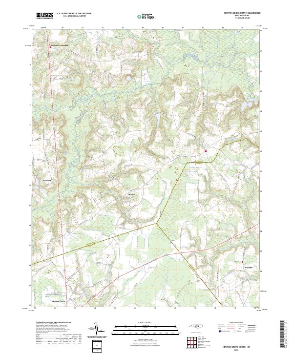 2022 Newton Grove North2022 Print · USGSNorth Carolina's coastal plain comes into focus in this recent survey of the rural landscape where Johnston, Sampson, and Wayne counties meet. Genealogists and local historians can trace family-named landmarks and old road networks connecting Strickland Crossroads, Harper, and the wetlands along Kill Swamp.
 - 2022 Map of Bearskin, 2022 Print
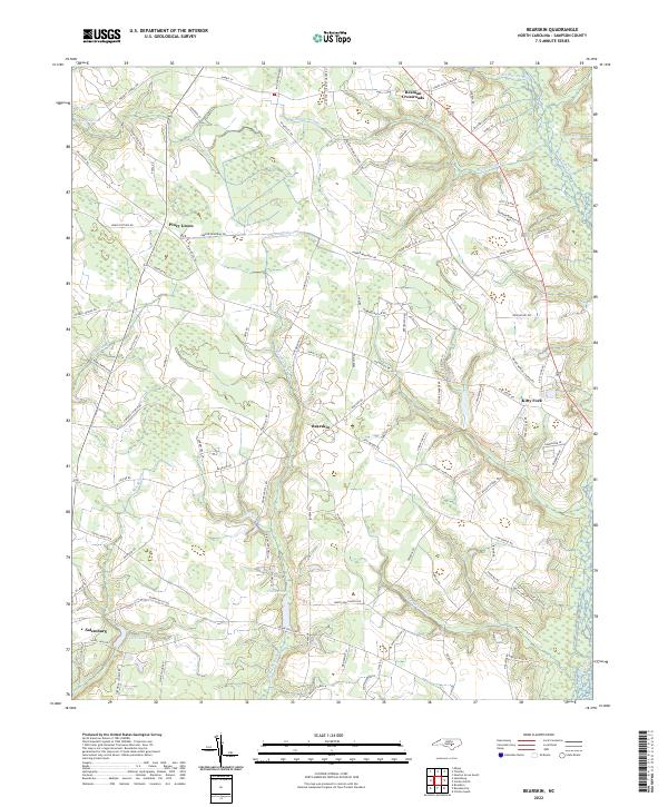 2022 Bearskin2022 Print · USGSSampson County at the start of the 2020s remains a landscape shaped by its intricate swamp networks and rural crossroads. Researchers can trace family-named routes and small communities like Kitty Fork, Piney Green, and the waters of Halls Pond.
 - 2022 Map of Wade, 2022 Print
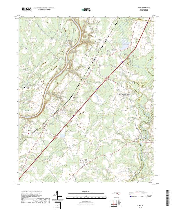 2022 Wade2022 Print · USGSThe Cape Fear River valley in the early 2020s shows a landscape of river-bend settlements and historic rural congregations. Genealogists can trace family landmarks like Black's Chapel United Methodist Church Cem and Westminster Cem near Wade.
 - 2022 Map of Timothy, 2022 Print
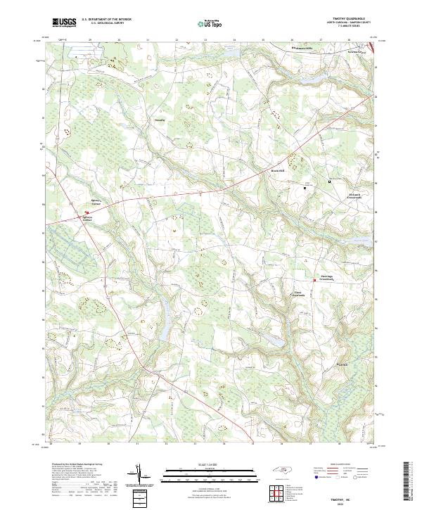 2022 Timothy2022 Print · USGSSampson County's crossroads communities and swampy lowlands are captured in this recent survey. Local researchers can trace family landmarks and rural settlements like Spivey's Corner, Blackmans Mills, and McLamb Crossroads.
 - 2022 Map of Newton Grove South, 2022 Print
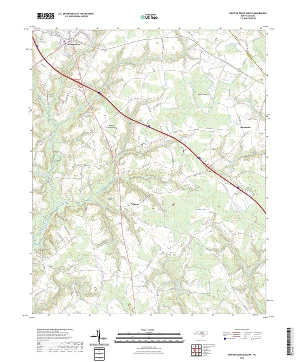 2022 Newton Grove South2022 Print · USGSSampson County in the twenty-first century reveals a landscape still deeply defined by its riparian boundaries and rural crossroads. Trace family land or local history through Monks Crossroads, Hobbton, and the edges of Bull Pocosin.
 - 2022 Map of Clinton North, 2022 Print
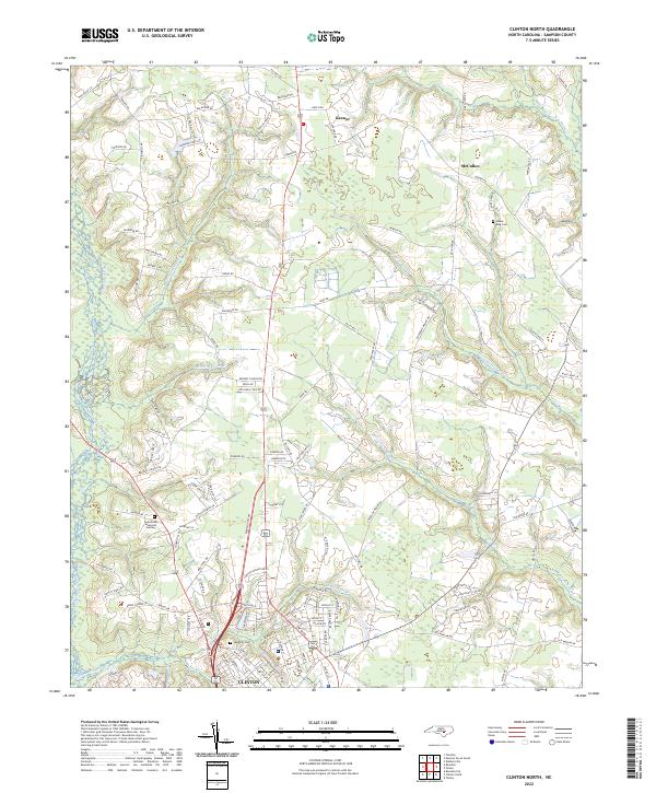 2022 Clinton North2022 Print · USGSSampson County's landscape in the early 2020s shows the northern growth of Clinton as it meets the wetlands of the coastal plain. Researchers can trace family history through sites like James King Cem and explore local geography along Beaverdam Swamp and Williams Old Mill Br.
 - 2022 Map of Faison, 2022 Print
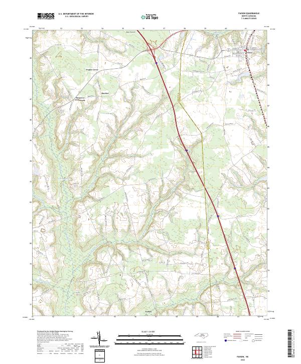 2022 Faison2022 Print · USGSThe rural landscape of Duplin and Sampson Counties is captured here in the early twenty-first century, centered on the historic hub of Faison. Genealogists can trace family-named routes like William Thornton St near Hatcher or explore the swampy reaches of Tenmile Swamp and Bear Pocosin.
 - 2022 Map of Tomahawk, 2022 Print
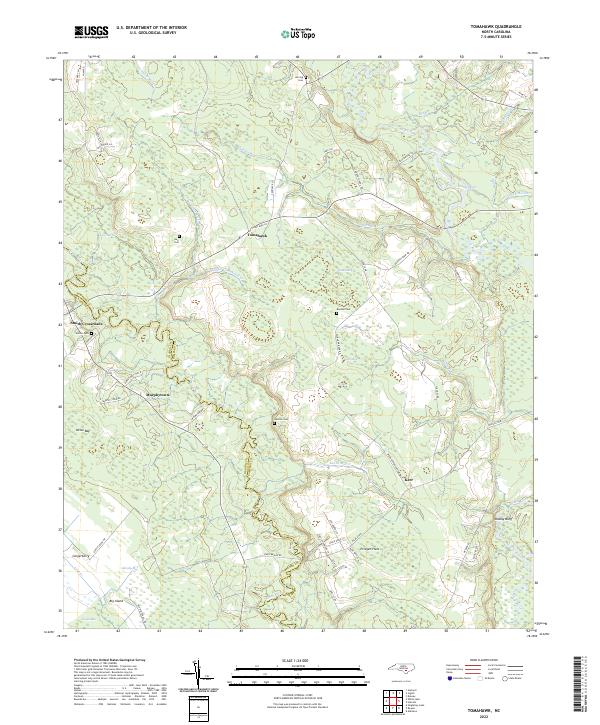 2022 Tomahawk2022 Print · USGSSampson and Bladen counties appear here in the early 2020s, showing a rural landscape woven together by the Black and South Rivers. Genealogists can locate family landmarks like Herring Cem or trace the old roads near Tomahawk and Murphytown.
 - 2022 Map of White Lake, 2022 Print
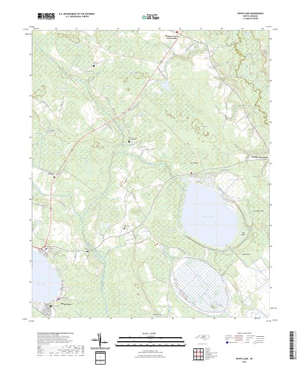 2022 White Lake2022 Print · USGSCoastal plain wetlands and oval bays define this portion of Bladen County in the early 2020s. Researchers can locate numerous family burial sites like Norris Cem and Sand Hill Cem or trace the rural roads connecting Hickory Grove Crossroads.
 - 2022 Map of Clinton South, 2022 Print
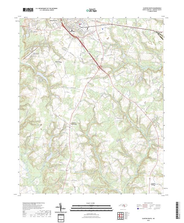 2022 Clinton South2022 Print · USGSSampson County is documented in the modern era, showing the growth of the regional seat and the preservation of its rural surroundings. Genealogists can trace family-named roads and landmarks like Butlers Crossroads, Springdale Cem, and Taylors Bridge.
Showing maps 1-25 of 28
Top cities of Sampson County
- Clinton historical maps
- Roseboro historical maps
- Newton Grove historical maps
- Keener historical maps
- Salemburg historical maps
- Delway historical maps
See more
Frequently asked questions
- What are the different types of historical maps available for Sampson County?
- What is the oldest map of Sampson County?
- Where can I purchase historical maps of Sampson County for my home or office?
- Where can I download high-res historical maps of Sampson County?
- Are there historical topographic maps available for Sampson County?
- Is there historical aerial imagery available for Sampson County?
- Where are historical maps of Sampson County sourced from?