2010s Maps of Sampson County, North Carolina
Explore 112 historic maps of Sampson County from the 2010s. These maps offer a rare glimpse into what life looked like during the 2010s — showing old roads, neighborhoods, homes, and landmarks that have changed or disappeared over time.
Whether you're researching your family's past, planning a metal detecting trip, or studying how Sampson County's landscape evolved across the 2010s, these high-resolution maps are a powerful tool for exploring the history of this region.
- Focus on a specific era: All maps on this page are from the 2010s, giving you a focused view of this time period.
- See what’s changed: Compare century-old streets, trails, and buildings to today's modern landscape using overlays and satellite layers.
- Research with precision: Use these maps for genealogy, historical research, land use analysis, or educational projects.
- View, download, or print: Maps are fully viewable online in high resolution, and can be downloaded or printed for your own records.
Start exploring Sampson County's history through authentic maps from the 2010s. This is your window into the past.
Sampson County, NC maps
(112)- 2010 Map of Tomahawk, 2010 Print
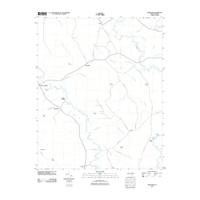 2010 Tomahawk2010 Print · USGSThe riverfront communities of Bladen County are captured here in the early twenty-first century, showing a landscape of traditional landings and crossroads. Genealogists and local historians can trace family roots at Sutton Cemetery, Kerr Cemetery, and the settlement at Tomahawk.
 - 2010 Map of Bonnetsville, 2010 Print
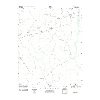 2010 Bonnetsville2010 Print · USGSCoastal plain settlements and winding creek beds characterize this part of Sampson County in the early twenty-first century. Genealogists and local historians can trace the rural landscape through communities like Bonnetsville and Mintz, or locate Halls Pond and Old Savanna.
 - 2010 Map of Ammon, 2010 Print
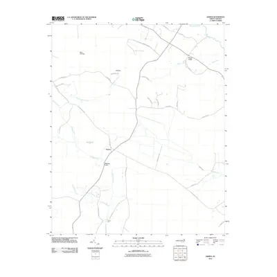 2010 Ammon2010 Print · USGSThe coastal plains of North Carolina are mapped here in the early 2000s, showing the agricultural heart of the region near the South River. Researchers can locate traditional river crossings at Ammon Ford and Reeves Ford or trace family-named routes like Lula Long Rd.
 - 2010 Map of Ingold, 2010 Print
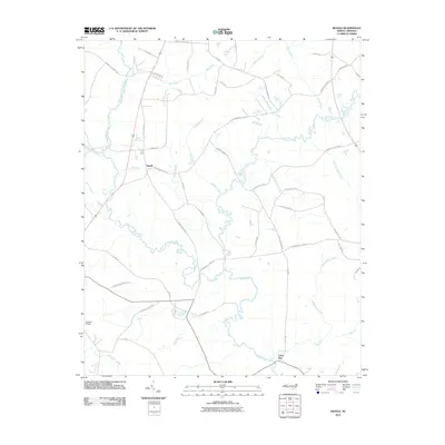 2010 Ingold2010 Print · USGSSampson County at the start of the 2010s is a landscape defined by its deep-seated riparian roots and rural crossroads. Researchers can trace family-named roads and drainage systems from Ingold to Clear Run, including Mathis Mill Branch and the Black River.
 - 2010 Map of Delway, 2010 Print
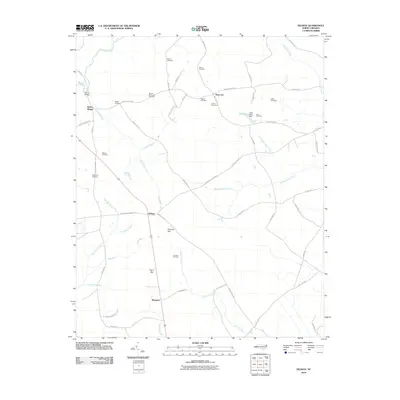 2010 Delway2010 Print · USGSSampson County's rural landscape is captured here in the late 2000s, showing a region defined by its creeks and quiet crossroads. Researchers can trace dozens of family burial sites including Watson Cemetery and Spearman Cemetery near Delway and Shanghai.
 - 2010 Map of White Lake, 2010 Print
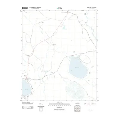 2010 White Lake2010 Print · USGSBladen County's distinctive Carolina Bay lakes and river lowlands are captured here in the early twenty-first century. Researchers can locate numerous family burial sites like Sand Hill Cemetery and Dyson Cemetery or trace the winding course of the South River.
 - 2010 Map of Autryville, 2010 Print
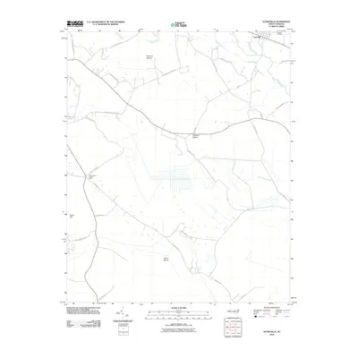 2010 Autryville2010 Print · USGSThe rural landscape around Autryville in the early twenty-first century is defined by its winding river systems and expansive wetlands. Local historians can trace family road names and locate landmarks like the Johnson Cemetery or the Cedar Creek Lookout Tower.
 - 2010 Map of Atkinson, 2010 Print
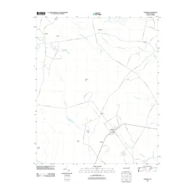 2010 Atkinson2010 Print · USGSCoastal plain settlements in Pender County are mapped here in the early twenty-first century, showing the rural community of Atkinson. Researchers can locate numerous family burial grounds including Newtown Cemetery and Hawes Cemetery, or trace the banks of Lake Ann.
 - 2010 Map of Clinton South, 2010 Print
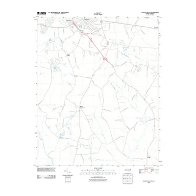 2010 Clinton South2010 Print · USGSSampson County at the start of the 2010s reveals a blend of municipal growth and rural heritage south of the county seat. Genealogists and local historians can trace family-named routes and small communities like Butlers Crossroads, Johnsontown, and Taylors Bridge.
 - 2010 Map of Roseboro, 2010 Print
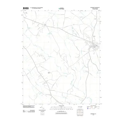 2010 Roseboro2010 Print · USGSRoseboro and its rural surroundings in Sampson County are captured here at the start of the 2010s, revealing a landscape defined by extensive riverine wetlands. Genealogists and local historians can trace family locations near Hollywood Cemetery, Hayne, and the winding South River.
 - 2010 Map of Garland, 2010 Print
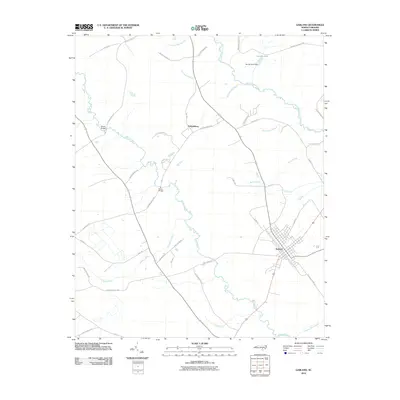 2010 Garland2010 Print · USGSSampson County's rural landscape is captured here in the early twenty-first century, centered on the historic town of Garland. Genealogists and local historians can trace family land ties along Peter Cromartie Rd and find legacy sites like Melvin Bridge and the Johnson Mill Race.
 - 2010 Map of Rowan, 2010 Print
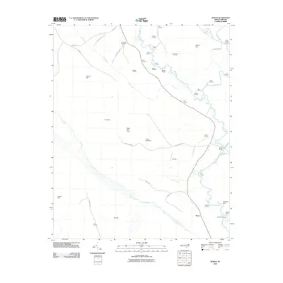 2010 Rowan2010 Print · USGSCoastal plains and river landings define this part of Bladen County during the early 2000s. Researchers can locate numerous family burial grounds like Salem Cemetery and trace the many landings along the Black River, including Davis Landing and Strawhorn Landing.
 - 2010 Map of Turkey, 2010 Print
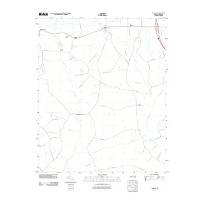 2010 Turkey2010 Print · USGSCoastal plain settlements and milling history define this Duplin County area in the early twenty-first century. Genealogists and local historians can trace rural family roots through features like New Hope Cemetery, Kirbys Bridge, and the community of Turkey.
 - 2010 Map of Wallace West, 2010 Print
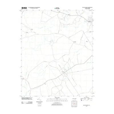 2010 Wallace West2010 Print · USGSPender County's agricultural and aviation landscape comes into focus during the early twenty-first century. Genealogists can trace family heritage at Rockfish Cemetery or White Cemetery while exploring rural hubs like Penderlea and Safe.
 - 2010 Map of Mingo, 2010 Print
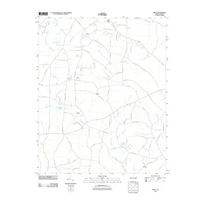 2010 Mingo2010 Print · USGSSampson County's rural landscape at the start of the 2010s shows a community shaped by its wetlands and family legacies. Genealogists can locate family-named sites like Lee Cemetery and Naylor Cemetery or trace the waters of Williams Lake and Tart Millpond.
 - 2010 Map of Newton Grove North, 2010 Print
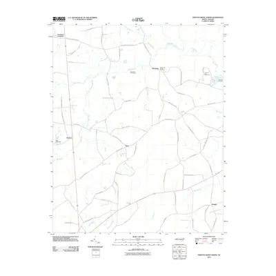 2010 Newton Grove North2010 Print · USGSNorth Carolina's rural landscape comes into focus in this late-2000s survey of the areas surrounding the Bentonville Battleground. Genealogists and local historians can trace family-named roads and rural settlements like Strickland Crossroads and Starlight.
 - 2010 Map of Faison, 2010 Print
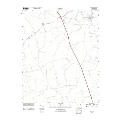 2010 Faison2010 Print · USGSIn Duplin County during the early twenty-first century, the town of Faison and its surrounding wetlands were interconnected by a complex network of rural roads. Genealogists can trace family landmarks and local congregations along Beulah Church Rd, 6 Runs Church Rd, and near Hargrove Crossroads.
 - 2010 Map of Dobbersville, 2010 Print
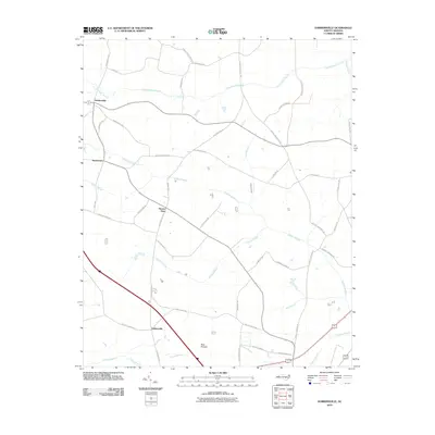 2010 Dobbersville2010 Print · USGSCoastal plain wetlands and small rural settlements define this part of eastern North Carolina in the early twenty-first century. Genealogists and local historians can trace family road names and locate community hubs like Dobbersville, Skeeter Point, and the Bear Pocosin.
 - 2010 Map of Newton Grove South, 2010 Print
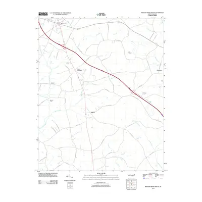 2010 Newton Grove South2010 Print · USGSSampson County's agricultural landscape is seen here just after the first decade of the millennium, shaped by its vast swamp networks. Genealogists and historians can locate old family-named routes like Kornegay Town Rd and rural hubs such as Monks Crossroads or Suttontown.
 - 2010 Map of Timothy, 2010 Print
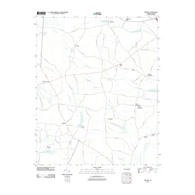 2010 Timothy2010 Print · USGSSampson County's rural agricultural landscape is detailed here at the turn of the millennium, showing a network of historic crossroads and swamp-fed creeks. Researchers can trace family-named roads and sites like Little Field Cemetery, Blackmans Mills, and Vann Crossroads.
 - 2010 Map of Salemburg, 2010 Print
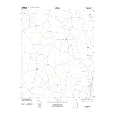 2010 Salemburg2010 Print · USGSSampson County's coastal plain landscape is captured here in the early twenty-first century, showing a network of rural settlements and swampy lowlands. Genealogists can trace family landmarks like Williams Cemetery and old mill sites such as Hays Mill or the Crumpler Millpond.
 - 2010 Map of Dunn, 2010 Print
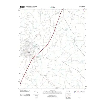 2010 Dunn2010 Print · USGSDunn and the surrounding Harnett County lowlands are captured here in 2010, showing the evolution of the city and its rural outskirts. Researchers can locate established sites like Greenwood Cemetery, Plain View, and the Young Lookout Tower.
 - 2010 Map of Wade, 2010 Print
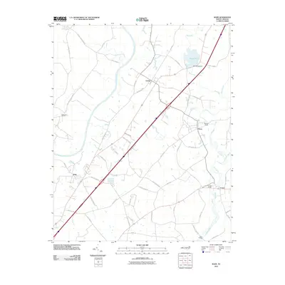 2010 Wade2010 Print · USGSThe river-rich corridor of Cumberland County comes into focus in the early 2010s, showing the settled lands between the Cape Fear River and South River. Local historians can trace family-named roads and landmarks like Westminster Cemetery, Rhodes Pond, and the community of Godwin.
 - 2010 Map of Stedman, 2010 Print
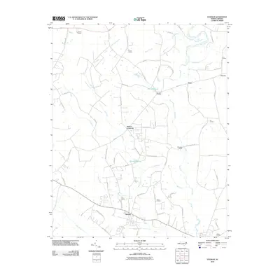 2010 Stedman2010 Print · USGSCumberland County at the start of the 21st century remains a landscape of millponds and meandering blackwater streams. Trace family history and local settlements through Bethany Crossroads, Fisher Cemetery, and the river crossings at Faircloths Bridge.
 - 2010 Map of Clinton North, 2010 Print
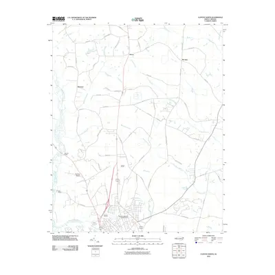 2010 Clinton North2010 Print · USGSSampson County's rural outskirts come into focus in the early 2000s as small communities and family-named roads weave through the lowlands north of Clinton. Researchers can locate Sandhills Cemetery, trace the drainage of Beaverdam Swamp, and find the airfields at Lowers Airport.
Showing maps 1-25 of 112
Top cities of Sampson County
- Clinton historical maps
- Roseboro historical maps
- Newton Grove historical maps
- Keener historical maps
- Salemburg historical maps
- Delway historical maps
See more
Frequently asked questions
- What are the different types of historical maps available for Sampson County?
- What is the oldest map of Sampson County?
- Where can I purchase historical maps of Sampson County for my home or office?
- Where can I download high-res historical maps of Sampson County?
- Are there historical topographic maps available for Sampson County?
- Is there historical aerial imagery available for Sampson County?
- Where are historical maps of Sampson County sourced from?