2000s (21st Century) Maps of Sampson County, North Carolina
Explore 141 historic maps of Sampson County from the 2000s (21st Century). These maps offer a rare glimpse into what life looked like during the 2000s — showing old roads, neighborhoods, homes, and landmarks that have changed or disappeared over time.
Whether you're researching your family's past, planning a metal detecting trip, or studying how Sampson County's landscape evolved across the 2000s, these high-resolution maps are a powerful tool for exploring the history of this region.
- Focus on a specific era: All maps on this page are from the 2000s, giving you a focused view of this time period.
- See what’s changed: Compare century-old streets, trails, and buildings to today's modern landscape using overlays and satellite layers.
- Research with precision: Use these maps for genealogy, historical research, land use analysis, or educational projects.
- View, download, or print: Maps are fully viewable online in high resolution, and can be downloaded or printed for your own records.
Start exploring Sampson County's history through authentic maps from the 2000s. This is your window into the past.
Sampson County, NC maps
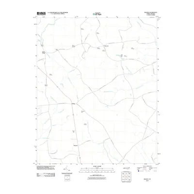
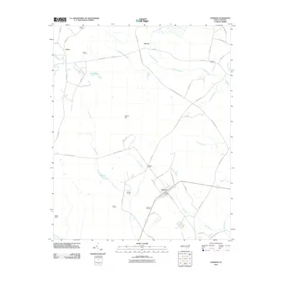
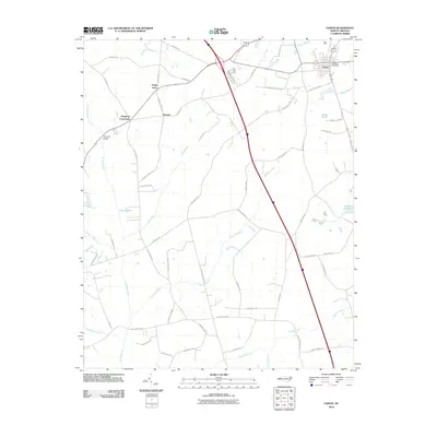
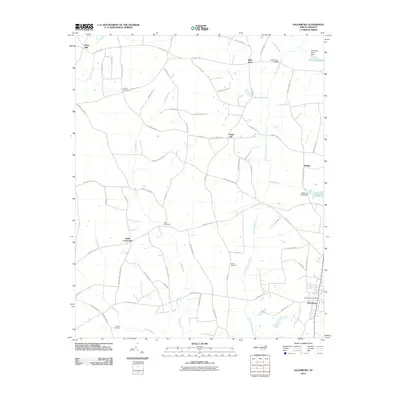
(141)- 2002 Map of Autryville
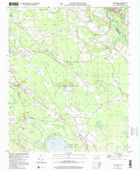 2002 Autryville2002 Print · USGSIn the early twenty-first century, the border between Sampson and Cumberland Counties remained a landscape of dense pocosin wetlands and rural communities. Genealogists can locate family landmarks like Christian Light Ch and St Johns Ch, or trace the winding course of the South River near Autryville.
 - 2010 Map of Tomahawk, 2010 Print
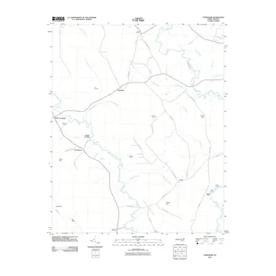 2010 Tomahawk2010 Print · USGSCovers Sampson County, including Fowler Landing, Murphytown, and other nearby areas
 - 2010 Map of Bonnetsville, 2010 Print
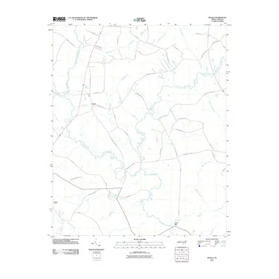
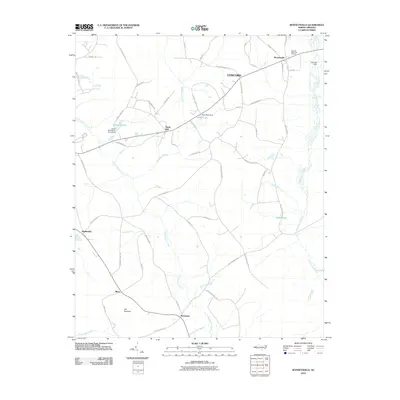 2010 Bonnetsville2010 Print · USGSCovers Sampson County, including Roseboro, McDaniels, and other nearby areas
 - 2010 Map of Ammon, 2010 Print
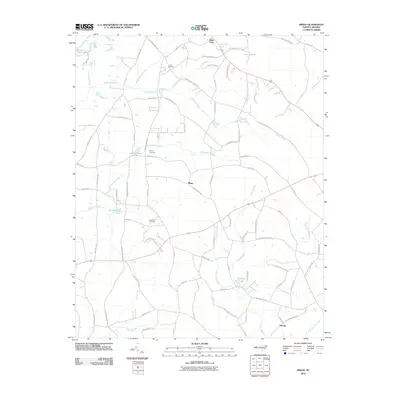
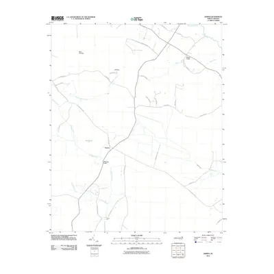 2010 Ammon2010 Print · USGSCovers Sampson County, including Peters Creek, Ammon, and other nearby areas
 - 2010 Map of Ingold, 2010 Print
 2010 Ingold2010 Print · USGSCovers Sampson County, including Clear Run, Ingold, and other nearby areas
 - 2010 Map of Delway, 2010 Print
 2010 Delway2010 Print · USGSCovers Sampson County, including Delway, Waycross, and other nearby areas
 - 2010 Map of White Lake, 2010 Print
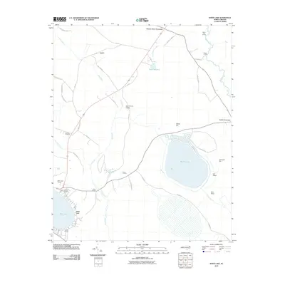 2010 White Lake2010 Print · USGSCovers Sampson County, including White Lake, Hickory Grove Crossroads, and other nearby areas
 - 2010 Map of Autryville, 2010 Print
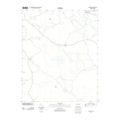 2010 Autryville2010 Print · USGSCovers Sampson County, including Stedman, Autryville, and other nearby areas
 - 2010 Map of Atkinson, 2010 Print
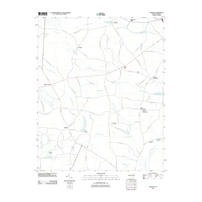
 2010 Atkinson2010 Print · USGSCovers Sampson County, including Atkinson, Reb Kee, and other nearby areas
 - 2010 Map of Clinton South, 2010 Print
 2010 Clinton South2010 Print · USGSCovers Sampson County, including Clinton, Butlers Crossroads, and other nearby areas
 - 2010 Map of Roseboro, 2010 Print
 2010 Roseboro2010 Print · USGSCovers Sampson County, including Roseboro, Hayne, and other nearby areas
 - 2010 Map of Garland, 2010 Print
 2010 Garland2010 Print · USGSCovers Sampson County, including Parkersburg, Garland, and other nearby areas
 - 2010 Map of Rowan, 2010 Print
 2010 Rowan2010 Print · USGSCovers Sampson County, including Rowan, Pender County, and other nearby areas
 - 2010 Map of Turkey, 2010 Print
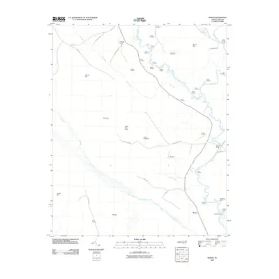
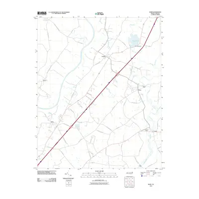
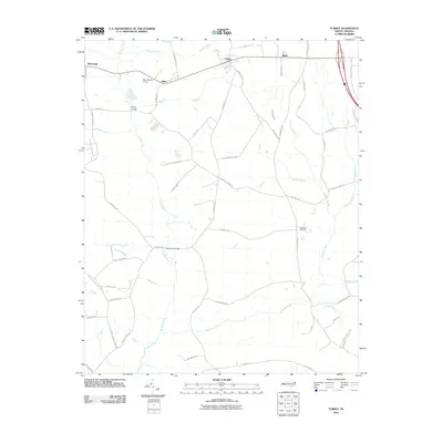 2010 Turkey2010 Print · USGSCovers Sampson County, including Warsaw, Turkey, and other nearby areas
 - 2010 Map of Wallace West, 2010 Print
 2010 Wallace West2010 Print · USGSCovers Sampson County, including Sunnyside, Penderlea, and other nearby areas
 - 2010 Map of Mingo, 2010 Print
 2010 Mingo2010 Print · USGSCovers Sampson County, including Plain View, Mingo, and other nearby areas
 - 2010 Map of Newton Grove North, 2010 Print
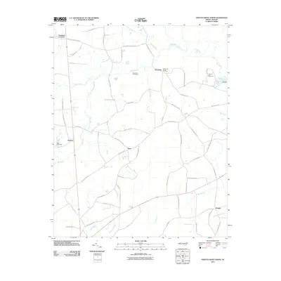 2010 Newton Grove North2010 Print · USGSCovers Sampson County, including Newton Grove, Stricklands Crossroads, and other nearby areas
 - 2010 Map of Faison, 2010 Print
 2010 Faison2010 Print · USGSCovers Sampson County, including Faison, Turkey, and other nearby areas
 - 2010 Map of Dobbersville, 2010 Print
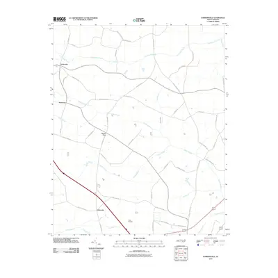 2010 Dobbersville2010 Print · USGSCovers Sampson County, including Dobbersville, Skeeter Point, and other nearby areas
 - 2010 Map of Newton Grove South, 2010 Print
 2010 Newton Grove South2010 Print · USGSCovers Sampson County, including Newton Grove, Monks Crossroads, and other nearby areas
 - 2010 Map of Timothy, 2010 Print
 2010 Timothy2010 Print · USGSCovers Sampson County, including Newton Grove, Vann Crossroads, and other nearby areas
 - 2010 Map of Salemburg, 2010 Print
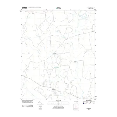
 2010 Salemburg2010 Print · USGSCovers Sampson County, including Salemburg, Rebel City, and other nearby areas
 - 2010 Map of Dunn, 2010 Print
 2010 Dunn2010 Print · USGSCovers Sampson County, including Dunn, Benson, and other nearby areas
 - 2010 Map of Wade, 2010 Print
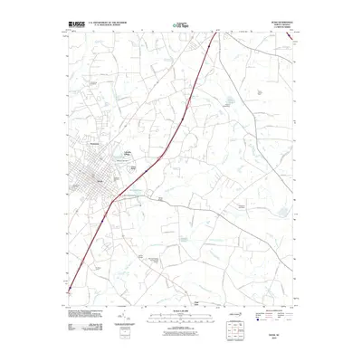
 2010 Wade2010 Print · USGSCovers Sampson County, including Wade, Falcon, and other nearby areas
 - 2010 Map of Stedman, 2010 Print
 2010 Stedman2010 Print · USGSCovers Sampson County, including Stedman, Autryville, and other nearby areas
Showing maps 1-25 of 141
Top cities of Sampson County
- Clinton historical maps
- Roseboro historical maps
- Newton Grove historical maps
- Keener historical maps
- Salemburg historical maps
- Delway historical maps
See more
Frequently asked questions
- What are the different types of historical maps available for Sampson County?
- What is the oldest map of Sampson County?
- Where can I purchase historical maps of Sampson County for my home or office?
- Where can I download high-res historical maps of Sampson County?
- Are there historical topographic maps available for Sampson County?
- Is there historical aerial imagery available for Sampson County?
- Where are historical maps of Sampson County sourced from?