2000s (21st Century) Maps of Stokes County, North Carolina
Explore 61 historic maps of Stokes County from the 2000s (21st Century). These maps offer a rare glimpse into what life looked like during the 2000s — showing old roads, neighborhoods, homes, and landmarks that have changed or disappeared over time.
Whether you're researching your family's past, planning a metal detecting trip, or studying how Stokes County's landscape evolved across the 2000s, these high-resolution maps are a powerful tool for exploring the history of this region.
- Focus on a specific era: All maps on this page are from the 2000s, giving you a focused view of this time period.
- See what’s changed: Compare century-old streets, trails, and buildings to today's modern landscape using overlays and satellite layers.
- Research with precision: Use these maps for genealogy, historical research, land use analysis, or educational projects.
- View, download, or print: Maps are fully viewable online in high resolution, and can be downloaded or printed for your own records.
Start exploring Stokes County's history through authentic maps from the 2000s. This is your window into the past.
Stokes County, NC maps
(61)- 2000 Map of Belews Lake, 2003 Print
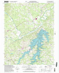 2000 Belews Lake2003 Print · USGSThe Piedmont landscape at the turn of the millennium shows a fascinating mix of rural tradition and industrial utility where four counties meet. Genealogists and local historians can locate numerous landmarks like Withers Chapel, Camp Vaughn, and the riverside settlement of Pine Hall.
 - 2010 Map of Claudville, 2010 Print
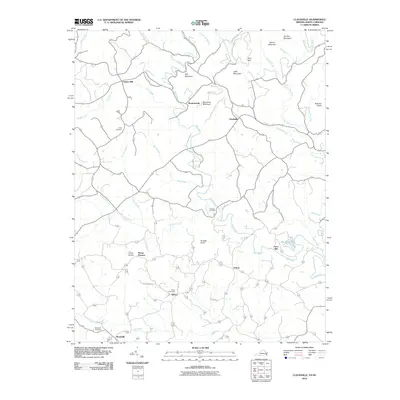 2010 Claudville2010 Print · USGSThe Virginia and North Carolina borderlands come into focus in 2010, showing a landscape defined by the winding Dan River and rural crossroads. Genealogists can trace family roots through numerous burial sites like Hatcher Cemetery and Albion Cemetery, or locate historical industrial sites such as Joyce Mill.
 - 2010 Map of Spencer, 2010 Print
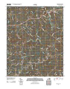 2010 Spencer2010 Print · USGSTracing the borderlands of North Carolina and Virginia in the modern era, this map highlights the river-bound communities of the Piedmont. Genealogists and historians can locate family burial sites at Harris Cemetery or trace the area around Sheppards Mill and Amostown.
 - 2010 Map of Stuart SE, 2010 Print
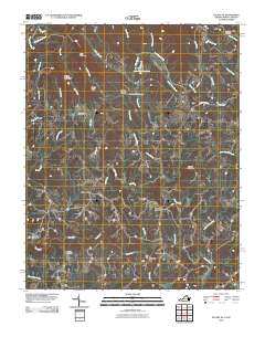 2010 Stuart SE2010 Print · USGSThe Virginia and North Carolina borderlands come into focus in 2010, showing a landscape of river-powered industry and mountain settlements. Genealogists can trace family names at Beasley Cemetery or locate landmarks like Jessup Mill and Harts Store.
 - 2010 Map of Nettleridge, 2010 Print
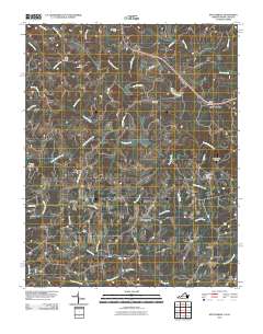 2010 Nettleridge2010 Print · USGSThe Virginia and North Carolina borderlands come into focus in 2010, showing the rural communities along the South Mayo River. Genealogists and historians can trace family locations near Nettle Ridge Cemetery or the historic Gilbert Mill.
 - 2010 Map of King, 2010 Print
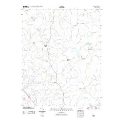 2010 King2010 Print · USGSStokes County at the start of the decade reveals a landscape of ridge-side communities and watershed management. Genealogists and local historians can locate family burial grounds like Old Mount Olive Cemetery and trace the drainage of Town Fork Creek near Quaker Gap.
 - 2010 Map of Danbury, 2010 Print
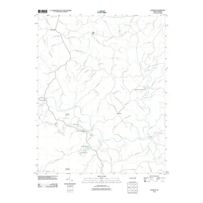 2010 Danbury2010 Print · USGSStokes County's rural heartland is well-documented in this 2010 survey of the area around the Dan River. Genealogists and local historians can trace family-named sites and landmarks like Moratuck Furnace, Buck Island Bridge, and the community of Lawsonville.
 - 2010 Map of Belews Lake, 2010 Print
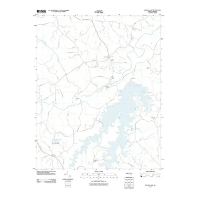 2010 Belews Lake2010 Print · USGSThe Dan River valley and the expansive waters of Belews Lake define this part of North Carolina in the early twenty-first century. Researchers can trace family sites at Eden Cemetery and Mount Zion Cemetery or locate old communities like Pine Hall and Ceramic.
 - 2010 Map of Pilot Mountain, 2010 Print
 2010 Pilot Mountain2010 Print · USGSSurry County near the Virginia border is shown here in the early twenty-first century as a landscape of rural crossroads and family homesteads. Genealogists and local historians can trace legacy landmarks and burial grounds like the Waugh Cemetery, Hills Chapel, and the community of Westfield.
 - 2010 Map of Ayersville, 2010 Print
 2010 Ayersville2010 Print · USGSRockingham County is captured here at the start of the 2010s, showcasing a rural landscape defined by the Dan River and small community hubs. Genealogists can locate several family burial grounds, including Buffalo Cemetery and Ayersville Cemetery, alongside local settlements like Dodgetown.
 - 2010 Map of Walnut Cove, 2010 Print
 2010 Walnut Cove2010 Print · USGSStokes County at the start of the 2010s reveals a landscape of historic crossroads and active water management. Researchers can trace family sites at Fulp Cemetery, the Town Fork Settlement, and rural hubs like Ross Store or Bailey Town.
 - 2010 Map of Pinnacle, 2010 Print
 2010 Pinnacle2010 Print · USGSSurry County's rural communities and river forks are captured here during the first decade of the millennium. Genealogists and local historians can trace family-named landmarks and ancestral burial sites like Friends Union Cemetery, McLains Ford, and the settlement of Pinnacle.
 - 2010 Map of Hanging Rock, 2010 Print
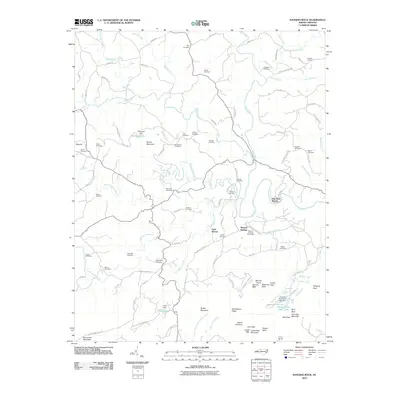 2010 Hanging Rock2010 Print · USGSThe Sauratown Mountains and the Dan River valley define this section of Stokes County in the early twenty-first century. Genealogists and hikers can trace dozen of family burial grounds like Flippin Cemetery or explore the landmarks of Hanging Rock State Park.
 - 2013 Map of Pilot Mountain, 2013 Print
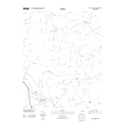 2013 Pilot Mountain2013 Print · USGSSurry County's rural character is on full display in the early twenty-first century, centered on the community of Pilot Mountain. Researchers can trace old family road names and locate rural landmarks like Hills Presbyterian Church, the Mica Pit, and Loves Lake.
 - 2013 Map of Hanging Rock, 2013 Print
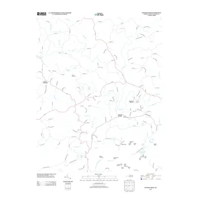 2013 Hanging Rock2013 Print · USGSStokes County’s dramatic Sauratown Mountain landscape is captured here in the early twenty-first century. Outdoor historians and genealogists can trace the roads of Moores Springs, identify the namesake peaks of Hanging Rock State Park, and locate the old Mineral Springs Resort Area.
 - 2013 Map of King, 2013 Print
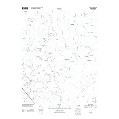 2013 King2013 Print · USGSStokes County communities like King and Poplar Springs are shown here as they appeared in the early twenty-first century. Researchers can trace local development across rural landmarks such as Camp Hanes, Quaker Gap, and the banks of the E Prong Little Yadkin River.
 - 2013 Map of Pinnacle, 2013 Print
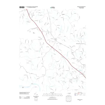 2013 Pinnacle2013 Print · USGSSurry County's landscape is defined by the iconic silhouette of Pilot Mountain and the winding course of the Yadkin River during the early twenty-first century. Researchers can trace local landmarks from McLains Ford to the crossroads at Pinnacle and Chestnut Grove.
 - 2013 Map of Belews Lake, 2013 Print
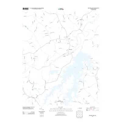 2013 Belews Lake2013 Print · USGSBelews Lake and the Dan River valley are shown in detail during the early twenty-first century as the region balanced its rural roots with modern recreation. Genealogists and local historians can trace family-named landmarks and old routes like Old Wagon Trail, the Anderson House, and the community at Pine Hall.
 - 2013 Map of Danbury, 2013 Print
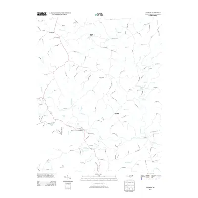 2013 Danbury2013 Print · USGSStokes County in the early twenty-first century reveals a landscape defined by the deep curves of the Dan River and the rural communities that surround it. Genealogists and local historians can trace legacy family lands through labels like Moratuck Furnace, Buck Island Bridge, and Davis Ford.
 - 2013 Map of Ayersville, 2013 Print
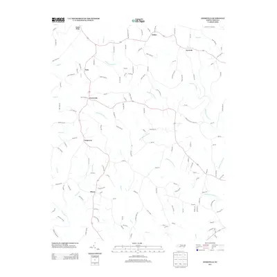 2013 Ayersville2013 Print · USGSUpper Rockingham County in the early twenty-first century remains a landscape of rolling creeks and rural crossroads. Local historians can trace the reach of established settlements like Ayersville, Dodgetown, and Sandy Ridge along the many branches of Big Beaver Island Creek.
 - 2013 Map of Walnut Cove, 2013 Print
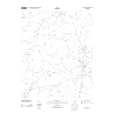 2013 Walnut Cove2013 Print · USGSStokes County communities thrive along the banks of Town Fork Cr and the Dan River during the early twenty-first century. Genealogists and local historians can trace the roads connecting Walnut Cove, Germanton, and the Town Fork Settlement.
 - 2013 Map of Claudville, 2013 Print
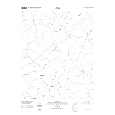 2013 Claudville2013 Print · USGSModern rural life in the Blue Ridge foothills is captured here as the region borders North Carolina. Genealogists and local historians can trace the roads and waterways connecting Claudville and Asbury to old sites like Carters Mill and Circle R Farm.
 - 2013 Map of Nettleridge, 2013 Print
 2013 Nettleridge2013 Print · USGSThe borderlands of Virginia and North Carolina are captured here in the early twenty-first century, centered on the S Mayo River. Genealogists and local historians can trace the geography around Gilbert Mill, Moorefield Store, and the community of Nettleridge.
 - 2013 Map of Stuart SE, 2013 Print
 2013 Stuart SE2013 Print · USGSThe Virginia and North Carolina borderlands come to life in this recent topographic study of the Upper Dan River valley. Genealogists and local historians can trace the roads and waterways connecting Collinstown, Aarons Corner, and Harts Store across this rural landscape.
 - 2013 Map of Spencer, 2013 Print
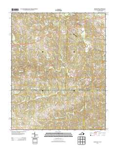 2013 Spencer2013 Print · USGSThe Virginia and North Carolina borderlands are captured here in the early twenty-first century as a network of river-fed valleys and rural crossroads. Local historians can trace family-named landmarks and historical sites like Sheppards Mill, Amostown, and Old Well Crossing.
Showing maps 1-25 of 61
Top cities of Stokes County
Frequently asked questions
- What are the different types of historical maps available for Stokes County?
- What is the oldest map of Stokes County?
- Where can I purchase historical maps of Stokes County for my home or office?
- Where can I download high-res historical maps of Stokes County?
- Are there historical topographic maps available for Stokes County?
- Is there historical aerial imagery available for Stokes County?
- Where are historical maps of Stokes County sourced from?