Old Maps of Brevard, North Carolina for Academic Research
Study the evolution of Brevard with 36 high-resolution historic maps. Whether you're teaching, researching, or modeling changes in land use, these maps provide essential visual documentation of urban, environmental, and geographic change.
- Analyze long-term change: Track patterns in development, transportation, and natural features.
- Ideal for environmental or urban studies: Support academic projects with primary historical map data.
- Use in the classroom or lab: Educators and researchers rely on these maps to bring historical context to life.
These maps are a powerful tool for teaching, research, and visualizing how Brevard has changed over the decades.
Brevard, NC maps
(36)- 1905 Map of Pisgah, 1956 Print
 1905 Pisgah1956 Print · USGSThe North Carolina high country around the turn of the century reveals a land of timber tracts and emerging mountain retreats. Genealogists and hikers can trace early routes to Buck Spring Lodge, follow the Southern RR tracks, and locate vanished settlements like Angeline and Calhoun.
 - 1906 Map of Pisgah, 1934 Print
 1906 Pisgah1934 Print · USGSThe Blue Ridge highlands at the turn of the century reveal a landscape of mountain river valleys and early timber frontiers. Genealogists and historians can trace family-named bridges and crossings like Graham Bridge or locate vanished settlements such as Grange and Retreat.2 unique versions available
 - 1935 Map of Brevard
 1935 Brevard1935 Print · USGSBrevard and the French Broad River valley are shown here in the mid-1930s as the region balanced traditional mountain farming with new hydroelectric and recreational development. Genealogists and local historians can trace family-named sites like Breeses Mill, Gillespie Cem, and rural schools including Holden Sch.
 - 1935 Map of Rosman
 1935 Rosman1935 Print · USGSTransylvania County in the mid-1930s is a rugged landscape where the forks of the French Broad River meet amidst a flurry of New Deal activity. Genealogists can trace family landmarks like Whitmire Cem, Shoal Creek Sch, and the State Prison Camp near Calvert.
 - 1935 Map of Pisgah Forest
 1935 Pisgah Forest1935 Print · USGSThe headwaters of the French Broad River valley are shown in the mid-1930s as the national forest system expanded. Trace old family landmarks like Davidson River Cem and community hubs including Turkey Creek Ch and Penrose Sch.
 - 1945 Map of Brevard, 1956 Print
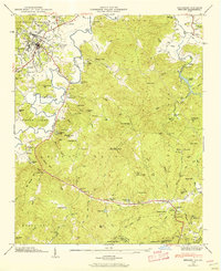 1945 Brevard1956 Print · USGSBrevard and the French Broad River valley are shown in the mid-1940s as a hub of mountain industry and education. Genealogists and historians can trace family plots at Gillespie Cem, visit the campus of Brevard College, or locate old landmarks like Breese Mill.2 unique versions available
 - 1945 Map of Rosman, 1957 Print
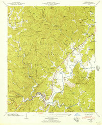 1945 Rosman1957 Print · USGSTransylvania County's river valleys and mountain gaps are captured here in the mid-1940s as the regional timber and rail economy thrived. Genealogists can locate family landmarks like Whitmire Cem, Zion Ch, and the State Prison Camp near Rosman.6 unique versions available
 - 1945 Map of Pisgah Forest, 1957 Print
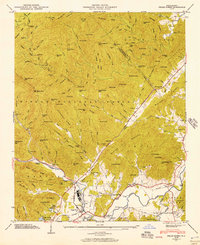 1945 Pisgah Forest1957 Print · USGSTransylvania and Henderson counties are captured here at the end of the war, where mountain industry and wilderness meet. Researchers can trace the legacy of Ecusta, find family burial sites at Davidson River Cem, and locate rural landmarks like English Chapel.2 unique versions available
 - 1946 Map of Rosman, 1947 Print
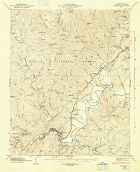 1946 Rosman1947 Print · USGSTransylvania County's mountain landscape comes to life in the mid-1940s as the railroad and river define the local economy. Researchers can locate family landmarks like the Whitmire Cem, rural pulpits such as Mt Moriah Ch, and the State Prison Camp near Rosman.
 - 1946 Map of Pisgah Forest, 1947 Print
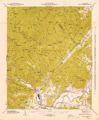 1946 Pisgah Forest1947 Print · USGSTransylvania County's timber and rail economy is on full display in the mid-1940s as the Southern Railway winds through the mountains. Genealogists and historians can trace community roots through English Chapel, Davidson River Cemetery, and the old Glade Creek School.
 - 1946 Map of Brevard, 1947 Print
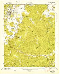 1946 Brevard1947 Print · USGSBrevard and the high mountain gaps of the Blue Ridge are captured here in the mid-1940s as a landscape of rural schools, summer camps, and river valleys. Genealogists can locate family-named cemeteries like Gillespie Cem and Glazener Cem or trace the early campus of Brevard College.2 unique versions available
 - 1955 Map of Knoxville
 1955 Knoxville1955 Print · USGSThe Southern Appalachians and the Smoky Mountains are shown here at a peak of mid-century development and conservation. Genealogists and historians can trace the early road networks connecting Gatlinburg, Waynesville, and the Cherokee Indian Reservation across the high ridges.
 - 1957 Map of Knoxville, 1966 Print
 1957 Knoxville1966 Print · USGSThe Southern Appalachians of Tennessee and North Carolina are mapped here during the mid-twentieth century as new highways reached the high country. Genealogists and historians can trace the topography between Knoxville and Asheville, locating family landmarks near Fontana Lake or along the Blue Ridge Parkway.4 unique versions available
 - 1960 Map of Knoxville
 1960 Knoxville1960 Print · USGSThe Southern Appalachians come alive in the 1950s, showing the intersection of new national park tourism and deep-rooted mountain industry. Trace old rail lines like the Clinchfield RR and find high-altitude landmarks from Mt Le Conte to the Cherokee Indian Reservation.2 unique versions available
 - 1964 Map of Knoxville
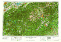 1964 Knoxville1964 Print · USGSThe Southern Appalachians and Great Smokies are captured here during the mid-sixties, showing the rugged borderlands of Tennessee and North Carolina. Researchers can trace historic mountain routes like U S 441, the expanse of Pisgah National Forest, and the growing footprints of Asheville and Knoxville.
 - 1965 Map of Brevard, 1967 Print
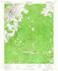 1965 Brevard1967 Print · USGSBrevard and the high country of the Blue Ridge appear here during the mid-sixties as the area's identity shifted toward education and mountain recreation. Researchers can trace local heritage through the Rosenwald School, Little River Chapel, and numerous family-named landmarks like McGaha Cem.5 unique versions available
 - 1965 Map of Pisgah Forest, 1967 Print
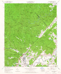 1965 Pisgah Forest1967 Print · USGSTransylvania and Henderson counties are captured here in the mid-sixties, where the industrial valley floor meets the mountain ridges. Researchers can trace family sites like Turkey Creek Cemetery and Osborne Cemetery or follow the Southern Railway through Pisgah Forest and Blantyre.4 unique versions available
 - 1986 Map of Hendersonville
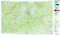 1986 Hendersonville1986 Print · USGSThe Blue Ridge foothills of North and South Carolina are documented here in the mid-eighties as modern highways began to reshape mountain travel. Local historians can trace the paths of the Southern Railway through Hendersonville or locate landmarks like Looking Glass Rock and Inman Mills.2 unique versions available
 - 1997 Map of Rosman, 2001 Print
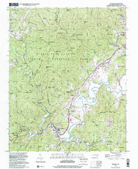 1997 Rosman2001 Print · USGSThe French Broad River valley near the turn of the millennium remains a landscape of mountain ridges and secluded camps. Genealogists and local historians can trace legacy sites like Shady Grove Cem, Zion Ch, and the old NASA Tracking Station.
 - 1997 Map of Brevard, 2001 Print
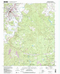 1997 Brevard2001 Print · USGSBrevard and the surrounding Transylvania County highlands are shown here at the turn of the millennium as the area balanced forest preservation with residential growth. Researchers can trace historic family names and community centers through labels like Glazener Cem, Rosenwald School, and Little River Chapel.
 - 1997 Map of Pisgah Forest, 2001 Print
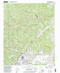 1997 Pisgah Forest2001 Print · USGSThe Brevard area and the headwaters of the French Broad River are captured here in the late twentieth century. Genealogists can trace family names at the McCall Cem and Davidson River Cem or locate centers like Cherry Village and the Penrose Sch.
 - 2011 Map of Rosman, 2011 Print
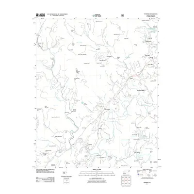 2011 Rosman2011 Print · USGSNear the headwaters of the French Broad River in the early 2000s, this area reflects a blend of mountain heritage and summer recreation. Researchers can trace family sites like Whitmire Cemetery and historic camps such as Camp Illahee or Keystone Camp.
 - 2011 Map of Pisgah Forest, 2011 Print
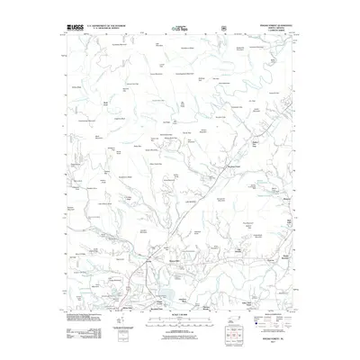 2011 Pisgah Forest2011 Print · USGSTransylvania County mountains and valley settlements come into sharp focus in this early twenty-first-century survey. Researchers can trace family history at Turkey Creek Cemetery or locate local landmarks like the Ecusta mill site and Wolf Ford.
 - 2011 Map of Brevard, 2011 Print
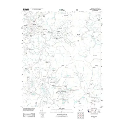 2011 Brevard2011 Print · USGSBrevard and its surrounding highlands are captured in the early twenty-first century, showing a landscape shaped by the French Broad River. Genealogists and historians can trace local families at the Evergreen Gillespie Cemetery or find historic camps like Camp Deerwoode.
 - 2013 Map of Rosman, 2013 Print
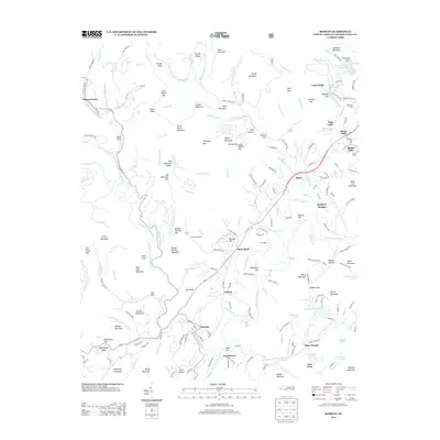 2013 Rosman2013 Print · USGSThe headwaters of the French Broad River come into focus in the early twenty-first century, showing a mix of traditional mountain communities and summer retreats. Researchers can trace family-named ridges and locate local landmarks like Camp Cherryfield, Balsam Grove, and Lake Wanteska.
Showing maps 1-25 of 36
Top cities near Brevard
- Asheville historical maps
- Fletcher historical maps
- Mills River historical maps
- Laurel Park historical maps
- Rosman historical maps
Top neighborhoods of Brevard
- Broadview Estates historical maps
- White Oaks historical maps
- Franklin Park historical maps
- Forest Hills historical maps
- McCrary Acres historical maps
- Pisgah Forest historical maps
Frequently asked questions
- What are the different types of historical maps available for Brevard?
- What is the oldest map of Brevard?
- Where can I purchase historical maps of Brevard for my home or office?
- Where can I download high-res historical maps of Brevard?
- Are there historical topographic maps available for Brevard?
- Is there historical aerial imagery available for Brevard?
- Where are historical maps of Brevard sourced from?