2000s (21st Century) Maps of Tyrrell County, North Carolina
Explore 98 historic maps of Tyrrell County from the 2000s (21st Century). These maps offer a rare glimpse into what life looked like during the 2000s — showing old roads, neighborhoods, homes, and landmarks that have changed or disappeared over time.
Whether you're researching your family's past, planning a metal detecting trip, or studying how Tyrrell County's landscape evolved across the 2000s, these high-resolution maps are a powerful tool for exploring the history of this region.
- Focus on a specific era: All maps on this page are from the 2000s, giving you a focused view of this time period.
- See what’s changed: Compare century-old streets, trails, and buildings to today's modern landscape using overlays and satellite layers.
- Research with precision: Use these maps for genealogy, historical research, land use analysis, or educational projects.
- View, download, or print: Maps are fully viewable online in high resolution, and can be downloaded or printed for your own records.
Start exploring Tyrrell County's history through authentic maps from the 2000s. This is your window into the past.
Tyrrell County, NC maps
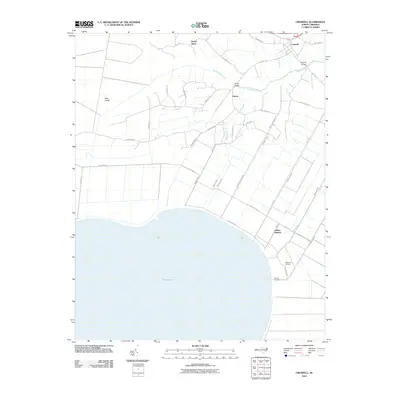
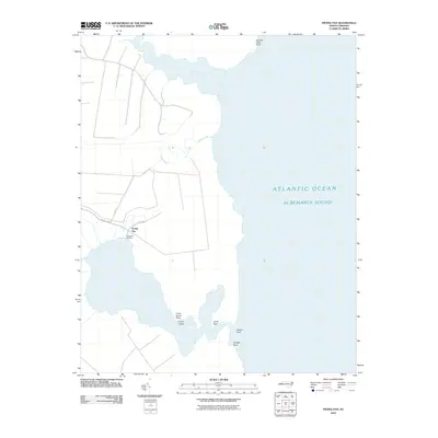
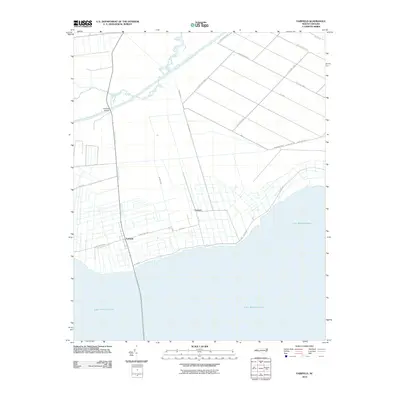
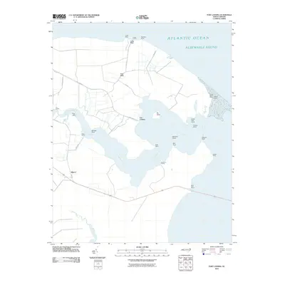
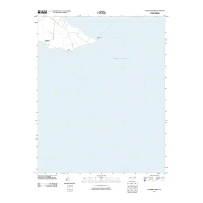
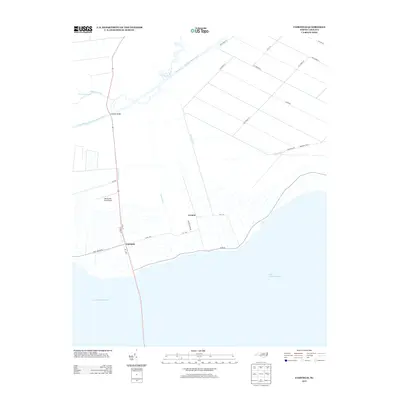
(98)- 2000 Map of Fairfield NE, 2002 Print
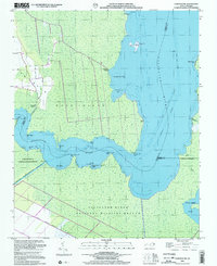 2000 Fairfield NE2002 Print · USGSCoastal Tyrrell County is defined by its watery borders and protected marshes at the turn of the millennium. Researchers can trace the legacy of remote landings and early transit along the Intracoastal Waterway, Gum Neck Landing, and the Pungo River - Alligator River Canal.
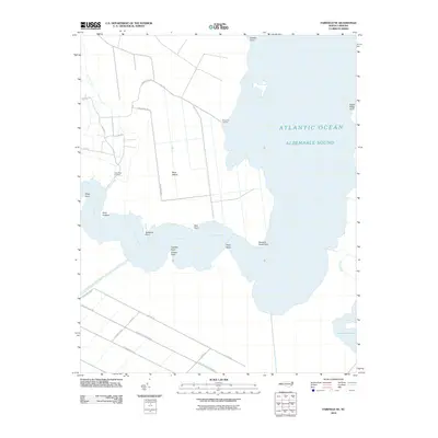
 - 2002 Map of Frying Pan
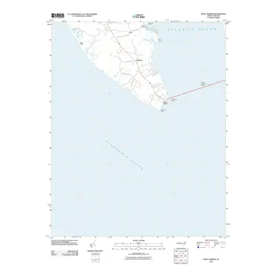
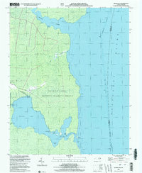 2002 Frying Pan2002 Print · USGSCoastal Tyrrell County is shown here at the turn of the millennium, where the land dissolves into the marshes of the Alligator River. Researchers can trace local landmarks like Frying Pan Landing, Free Union Ch, and the secluded waters of The Frying Pan.
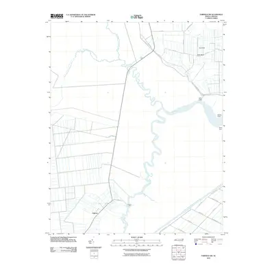
 - 2002 Map of New Lake NW, 2003 Print
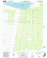 2002 New Lake NW2003 Print · USGSCoastal wetlands and conservation lands define this Hyde County landscape at the turn of the millennium. Researchers can trace the boundaries of the Pocosin Lakes National Wildlife Refuge and the southern reaches of Phelps Lake.
 - 2010 Map of Creswell SE, 2010 Print
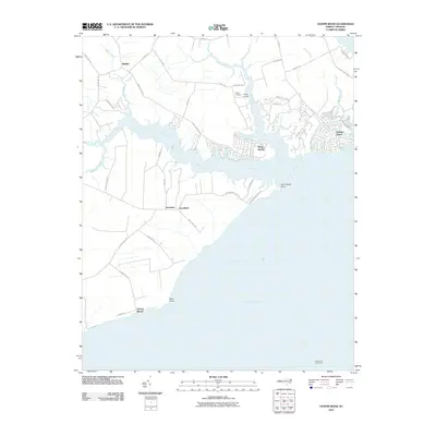
 2010 Creswell SE2010 Print · USGSCovers Tyrrell County, including New Lands, Washington County, and other nearby areas
 - 2010 Map of Leonards Point, 2010 Print
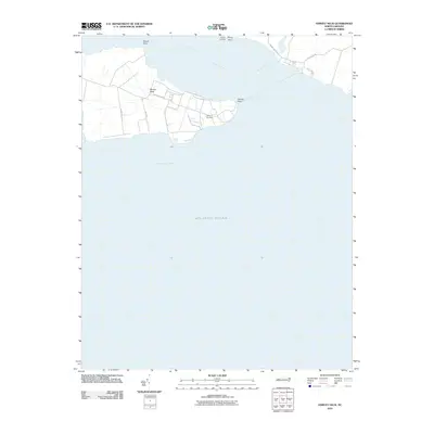
 2010 Leonards Point2010 Print · USGSCovers Tyrrell County, including Davenport Forks, Pea Ridge, and other nearby areas
 - 2010 Map of New Lake, 2010 Print
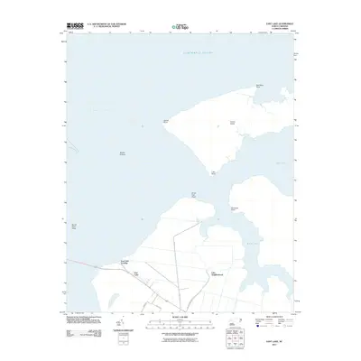
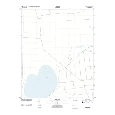 2010 New Lake2010 Print · USGSCovers Tyrrell County, including Hyde County, United States, and other nearby areas
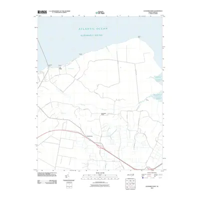
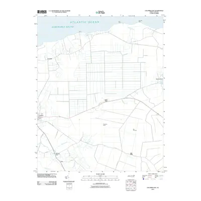
 - 2010 Map of Columbia West, 2010 Print
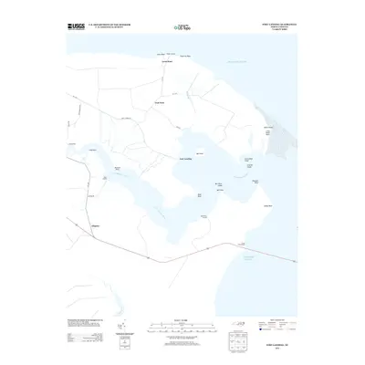
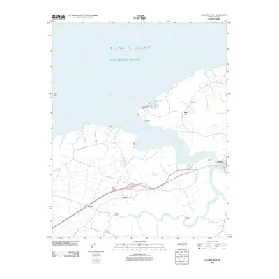 2010 Columbia West2010 Print · USGSCovers Tyrrell County, including Columbia, River Neck, and other nearby areas
 - 2010 Map of New Lake NW, 2010 Print
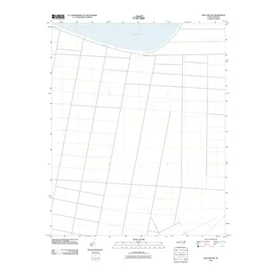 2010 New Lake NW2010 Print · USGSCovers Tyrrell County, including Washington County, Hyde County, and other nearby areas
 - 2010 Map of Creswell, 2010 Print
 2010 Creswell2010 Print · USGSCovers Tyrrell County, including Galilee Mission, Creswell, and other nearby areas
 - 2010 Map of Scotia, 2010 Print
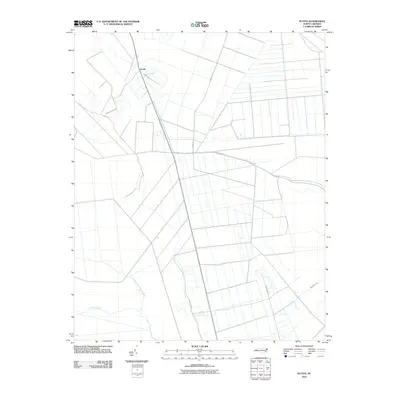 2010 Scotia2010 Print · USGSCovers Tyrrell County, including Scotia, United States, and other nearby areas
 - 2010 Map of Columbia East, 2010 Print
 2010 Columbia East2010 Print · USGSCovers Tyrrell County, including Columbia, Newfoundland, and other nearby areas
 - 2010 Map of New Lake SE, 2010 Print
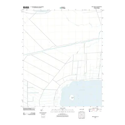 2010 New Lake SE2010 Print · USGSCovers Tyrrell County, including Hyde County, United States, and other nearby areas
 - 2010 Map of Frying Pan, 2010 Print
 2010 Frying Pan2010 Print · USGSCovers Tyrrell County, including Frying Pan, Dare County, and other nearby areas
 - 2010 Map of Fairfield NE, 2010 Print
 2010 Fairfield NE2010 Print · USGSCovers Tyrrell County, including Dare County, Hyde County, and other nearby areas
 - 2010 Map of Fairfield NW, 2010 Print
 2010 Fairfield NW2010 Print · USGSCovers Tyrrell County, including Gum Neck, Kilkenny, and other nearby areas
 - 2010 Map of Fairfield, 2010 Print
 2010 Fairfield2010 Print · USGSCovers Tyrrell County, including Fairfield, Carmur, and other nearby areas
 - 2010 Map of Fort Landing, 2010 Print
 2010 Fort Landing2010 Print · USGSCovers Tyrrell County, including Fort Landing, Goat Neck, and other nearby areas
 - 2010 Map of Point Harbor, 2010 Print
 2010 Point Harbor2010 Print · USGSCovers Tyrrell County, including Harbinger, Point Harbor, and other nearby areas
 - 2010 Map of Yeopim River, 2010 Print
 2010 Yeopim River2010 Print · USGSCovers Tyrrell County, including Somerset, Snug Harbor, and other nearby areas
 - 2010 Map of Harvey Neck, 2010 Print
 2010 Harvey Neck2010 Print · USGSCovers Tyrrell County, including Perquimans County, United States, and other nearby areas
 - 2010 Map of Stevenson Point, 2010 Print
 2010 Stevenson Point2010 Print · USGSCovers Tyrrell County, including Carolina Shores, Pasquotank County, and other nearby areas
 - 2011 Map of East Lake, 2011 Print
 2011 East Lake2011 Print · USGSCovers Tyrrell County, including Lake Neighborhood, East Lake, and other nearby areas
 - 2013 Map of Frying Pan, 2013 Print
 2013 Frying Pan2013 Print · USGSCovers Tyrrell County, including Frying Pan, Dare County, and other nearby areas
 - 2013 Map of Fort Landing, 2013 Print
 2013 Fort Landing2013 Print · USGSCovers Tyrrell County, including Fort Landing, Goat Neck, and other nearby areas
 - 2013 Map of Fairfield, 2013 Print
 2013 Fairfield2013 Print · USGSCovers Tyrrell County, including Fairfield, Carmur, and other nearby areas
Showing maps 1-25 of 98
Top cities of Tyrrell County
Frequently asked questions
- What are the different types of historical maps available for Tyrrell County?
- What is the oldest map of Tyrrell County?
- Where can I purchase historical maps of Tyrrell County for my home or office?
- Where can I download high-res historical maps of Tyrrell County?
- Are there historical topographic maps available for Tyrrell County?
- Is there historical aerial imagery available for Tyrrell County?
- Where are historical maps of Tyrrell County sourced from?