2020s Maps of Crow Hill District, North Dakota
Explore 14 historic maps of Crow Hill District from the 2020s. These maps offer a rare glimpse into what life looked like during the 2020s — showing old roads, neighborhoods, homes, and landmarks that have changed or disappeared over time.
Whether you're researching your family's past, planning a metal detecting trip, or studying how Crow Hill District's landscape evolved across the 2020s, these high-resolution maps are a powerful tool for exploring the history of this region.
- Focus on a specific era: All maps on this page are from the 2020s, giving you a focused view of this time period.
- See what’s changed: Compare century-old streets, trails, and buildings to today's modern landscape using overlays and satellite layers.
- Research with precision: Use these maps for genealogy, historical research, land use analysis, or educational projects.
- View, download, or print: Maps are fully viewable online in high resolution, and can be downloaded or printed for your own records.
Start exploring Crow Hill District's history through authentic maps from the 2020s. This is your window into the past.
Crow Hill District, ND maps
(14)- 2020 Map of Oberon SW, 2020 Print
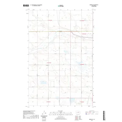 2020 Oberon SW2020 Print · USGSCovers Crow Hill District, including Eddy County, Benson County, and other nearby areas
 - 2020 Map of Grahams Island, 2020 Print
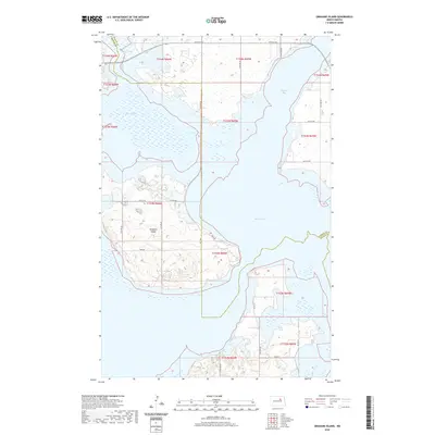 2020 Grahams Island2020 Print · USGSCovers Crow Hill District, including Fort Totten District, Benson County, and other nearby areas
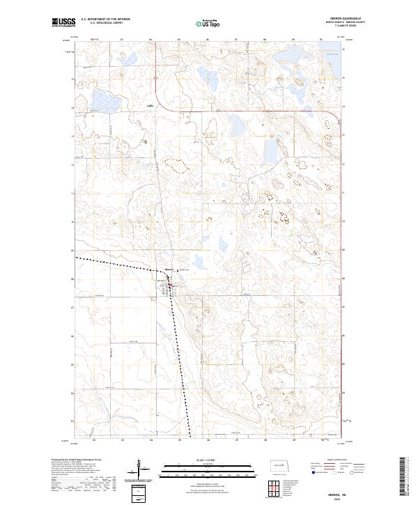
 - 2020 Map of Oberon, 2020 Print
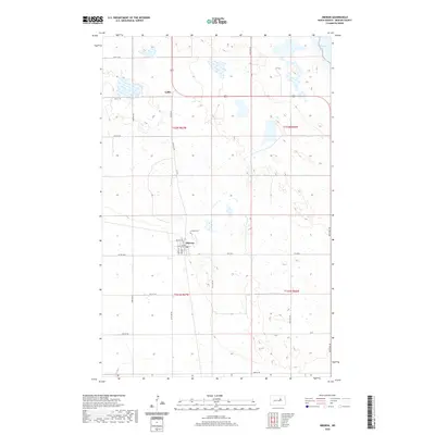 2020 Oberon2020 Print · USGSCovers Crow Hill District, including Lallie, Oberon, and other nearby areas
 - 2020 Map of Minnewaukan West, 2020 Print
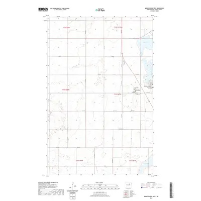 2020 Minnewaukan West2020 Print · USGSCovers Crow Hill District, including Minnewaukan, Benson County, and other nearby areas
 - 2020 Map of Minnewaukan East, 2020 Print
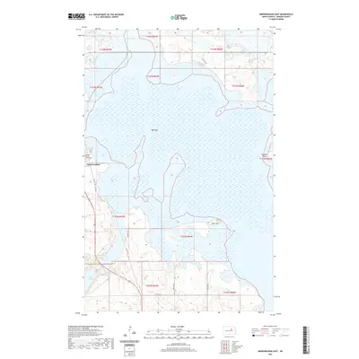 2020 Minnewaukan East2020 Print · USGSCovers Crow Hill District, including Minnewaukan, Benson County, and other nearby areas
 - 2020 Map of Crow Hill, 2020 Print
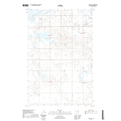 2020 Crow Hill2020 Print · USGSCovers Crow Hill District, including Fort Totten District, Fort Totten, and other nearby areas
 - 2020 Map of Sheyenne, 2020 Print
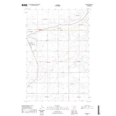 2020 Sheyenne2020 Print · USGSCovers Crow Hill District, including Sheyenne, Divide, and other nearby areas
 - 2024 Map of Oberon, 2024 Print
 2024 Oberon2024 Print · USGSBenson County's prairie landscape is documented in the mid-2020s, showing the intersection of local town life and vast conservation wetlands. Genealogists and historians can trace the streets of Oberon, locate the Hillside Cem, and explore the marshes of the Benson County Waterfowl Production Area.
 - 2024 Map of Sheyenne, 2024 Print
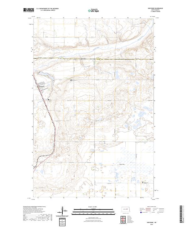 2024 Sheyenne2024 Print · USGSModern-day Sheyenne and the surrounding prairie wetlands come into focus in this recent survey of EDDY CO. Genealogists can locate family sites at Riverside Cem or Nystrom Cem, while outdoorsmen can trace the boundaries of the Eddy County Waterfowl Production Area.
 - 2024 Map of Minnewaukan East, 2024 Print
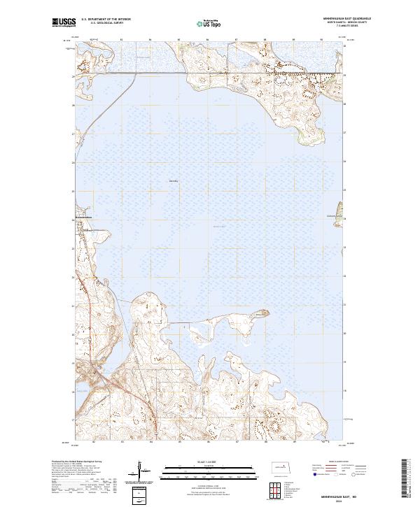 2024 Minnewaukan East2024 Print · USGSThe town of Minnewaukan borders the expansive Devils Lake in this contemporary 2024 survey of the North Dakota landscape. Researchers can trace the protected wetlands of the Benson County Waterfowl Production Area and locate landforms like Grahams Island.
 - 2024 Map of Minnewaukan West, 2024 Print
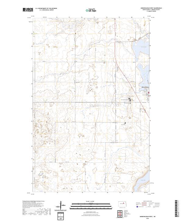 2024 Minnewaukan West2024 Print · USGSThe Benson County seat at Minnewaukan is shown here on the western edge of Devils Lake in the modern day. Genealogists and researchers can trace local heritage through the Benson County Court House and several country cemeteries like Saint Peter Cem and Free Church Cem.
 - 2024 Map of Crow Hill, 2024 Print
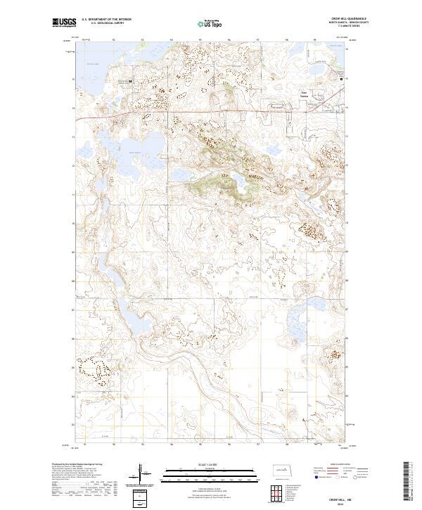 2024 Crow Hill2024 Print · USGSBenson County's lake-strewn landscape is captured here in the contemporary era, centered on the historic community of Fort Totten. Researchers can trace local burial sites at Saint Jeromes Catholic Cem or explore the protected lands of Sullys Hill National Game Preserve.
 - 2024 Map of Oberon SW, 2024 Print
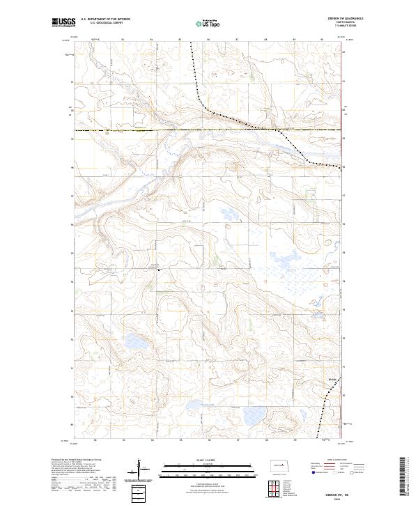 2024 Oberon SW2024 Print · USGSEddy County at the edge of the Sheyenne River valley shows its modern agricultural and conservation footprint in the 2020s. Genealogists can locate the Grandfield Lutheran Cem and the settlement of Divide among the wetlands of the Eddy County Waterfowl Production Area.
 - 2024 Map of Grahams Island, 2024 Print
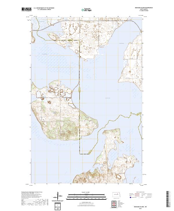 2024 Grahams Island2024 Print · USGSGrahams Island stands at the center of this modern survey of the North Dakota lake country. Researchers can trace the shorelines of Devils Lake and locate local thoroughfares like Park Ave and BIA Rd 25 as they navigate the island's unique geography.
End of results
Showing maps 1-14 of 14
Top cities near Crow Hill District
- Devils Lake historical maps
- Lallie historical maps
- Minnewaukan historical maps
- Sheyenne historical maps
- Grand Harbor historical maps
- Oberon historical maps
See more
Top neighborhoods of Crow Hill District
Frequently asked questions
- What are the different types of historical maps available for Crow Hill District?
- What is the oldest map of Crow Hill District?
- Where can I purchase historical maps of Crow Hill District for my home or office?
- Where can I download high-res historical maps of Crow Hill District?
- Are there historical topographic maps available for Crow Hill District?
- Is there historical aerial imagery available for Crow Hill District?
- Where are historical maps of Crow Hill District sourced from?