2000s (21st Century) Maps of Crow Hill District, North Dakota
Explore 35 historic maps of Crow Hill District from the 2000s (21st Century). These maps offer a rare glimpse into what life looked like during the 2000s — showing old roads, neighborhoods, homes, and landmarks that have changed or disappeared over time.
Whether you're researching your family's past, planning a metal detecting trip, or studying how Crow Hill District's landscape evolved across the 2000s, these high-resolution maps are a powerful tool for exploring the history of this region.
- Focus on a specific era: All maps on this page are from the 2000s, giving you a focused view of this time period.
- See what’s changed: Compare century-old streets, trails, and buildings to today's modern landscape using overlays and satellite layers.
- Research with precision: Use these maps for genealogy, historical research, land use analysis, or educational projects.
- View, download, or print: Maps are fully viewable online in high resolution, and can be downloaded or printed for your own records.
Start exploring Crow Hill District's history through authentic maps from the 2000s. This is your window into the past.
Crow Hill District, ND maps
(35)- 2011 Map of Oberon SW, 2011 Print
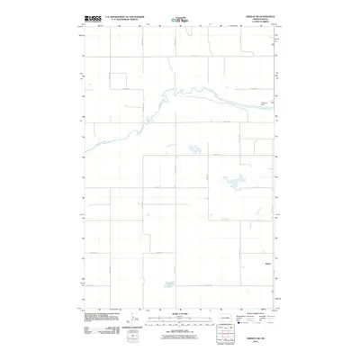 2011 Oberon SW2011 Print · USGSBenson County's rural landscape is captured here in the early twenty-first century, showing the intersection of agricultural planning and natural waterways. Genealogists and researchers can locate the settlement of Divide and trace the course of the Sheyenne River past the Sheyenne Dam.
 - 2011 Map of Crow Hill, 2011 Print
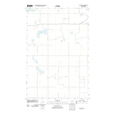 2011 Crow Hill2011 Print · USGSBenson County near the shores of Devils Lake is documented here during the early twenty-first century. Researchers can trace the local road network and land features such as Crow Hill, Twin Lakes, and several BIA Rd routes through the district.
 - 2011 Map of Sheyenne, 2011 Print
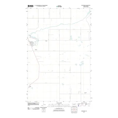 2011 Sheyenne2011 Print · USGSEddy County at the turn of the decade reveals a prairie landscape structured by the Sheyenne River and small rural settlements. Family historians can trace local roots at Riverside Cemetery or locate the site of Divide along the highway.
 - 2011 Map of Oberon, 2011 Print
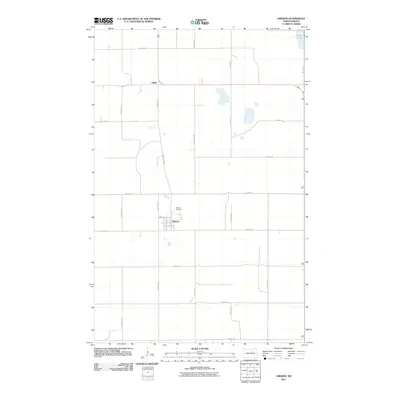 2011 Oberon2011 Print · USGSBenson County prairie life is centered on the town of Oberon in the early 2000s, where traditional land divisions still dictate the landscape. Genealogists and local historians can map out the area's rural development through sites like Hillside Cemetery, the northern settlement of Lallie, and the waters of Devils Lake.
 - 2011 Map of Grahams Island, 2011 Print
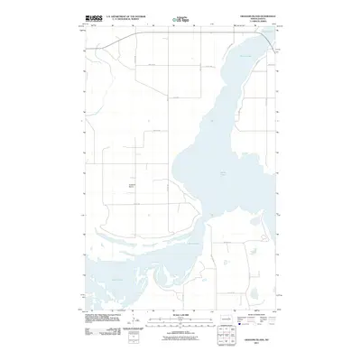 2011 Grahams Island2011 Print · USGSDevils Lake surrounds the landmass of Grahams Island in the early twenty-first century, showing a landscape defined by rising water levels and shifting shorelines. Genealogists and researchers can trace local routes like BIA Road 24 and the residential layout of 6 Mile Hts.
 - 2011 Map of Minnewaukan East, 2011 Print
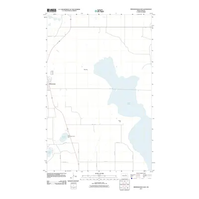 2011 Minnewaukan East2011 Print · USGSMinnewaukan and the western reaches of Devils Lake are documented here during a period of significant hydrological change. Researchers can trace the encroaching shoreline near Minnewaukan and locate infrastructure like the Round Lake Outlet Control Dam and Sams Hill.
 - 2011 Map of Minnewaukan West, 2011 Print
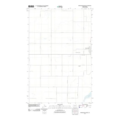 2011 Minnewaukan West2011 Print · USGSBenson County in the early twenty-first century is defined by its agricultural grid and the small-town hub of Minnewaukan. Genealogists can trace local roots across the Minnewaukan Cemetery, Saint Peter Cemetery, and Free Church Cemetery near the shores of Long Lake.
 - 2014 Map of Minnewaukan West, 2014 Print
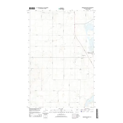 2014 Minnewaukan West2014 Print · USGSMinnewaukan and the western edge of the Devils Lake Basin are documented here during the early 2010s. Genealogists and local historians can locate community landmarks such as Minnewaukan Cem, Saint Peter Cem, and the waters of Long Lake.
 - 2014 Map of Grahams Island, 2014 Print
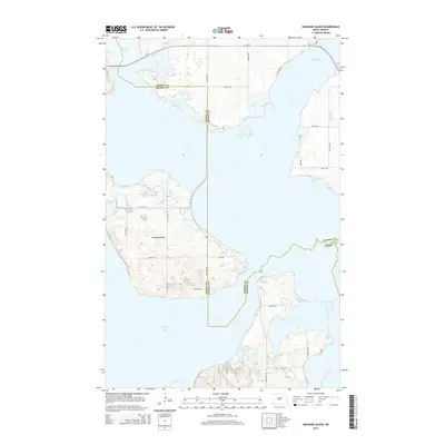 2014 Grahams Island2014 Print · USGSGrahams Island and the surrounding waters of Devils Lake appear in this 2014 survey at the boundary of Benson and Ramsey Counties. Researchers can trace the local road network across the island and peninsulas, including Old Main, Graham Rd, and the highway corridor of ND-19.
 - 2014 Map of Minnewaukan East, 2014 Print
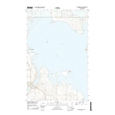 2014 Minnewaukan East2014 Print · USGSBenson County's lake-dominated landscape is captured here in the early 21st century, centered on the waters of West Bay. Researchers can trace the rural road network around Minnewaukan and locate local landmarks like Sams Hill and Grahams Island.
 - 2014 Map of Oberon SW, 2014 Print
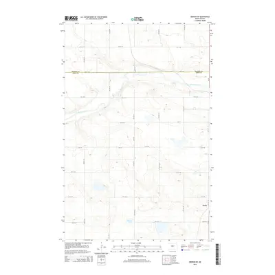 2014 Oberon SW2014 Print · USGSThe rural landscapes of Benson and Eddy Counties are captured here in the early 21st century. Researchers can trace local landmarks such as the settlement of Divide, the meandering Sheyenne River, and the southern waters of Shroyer Lake.
 - 2014 Map of Oberon, 2014 Print
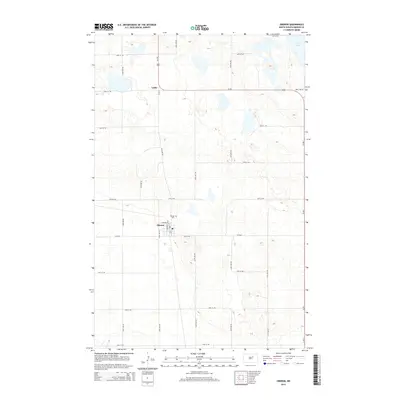 2014 Oberon2014 Print · USGSBenson County at the start of the 2010s reveals a landscape of grid-patterned agriculture and prairie wetlands. Genealogists and local historians can trace the town layouts of Oberon and Lallie, or locate burials at Hillside Cem near the edge of town.
 - 2014 Map of Crow Hill, 2014 Print
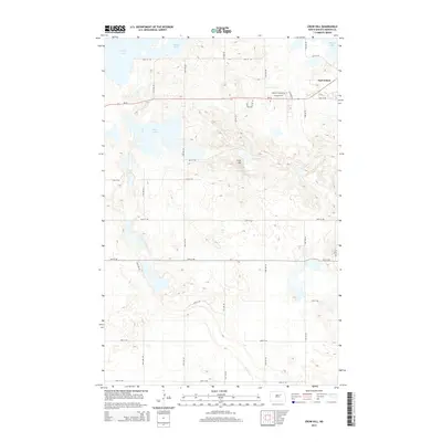 2014 Crow Hill2014 Print · USGSBenson County near the shores of Devils Lake is captured here in the early twenty-first century, showing a mix of historic settlement and rural prairie. Genealogists and researchers can trace local landmarks like Fort Totten, Crow Hill, and the residential layout along Baptist Church Rd.
 - 2014 Map of Sheyenne, 2014 Print
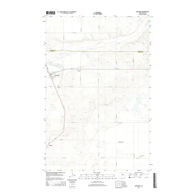 2014 Sheyenne2014 Print · USGSThe Eddy County prairie comes into focus in the mid-2010s, centered on the settlement of Sheyenne and the winding Sheyenne River. Local historians and genealogists can trace the rural landscape through family-connected sites like Holy Cross Cem and the crossroads at Divide.
 - 2017 Map of Minnewaukan East, 2017 Print
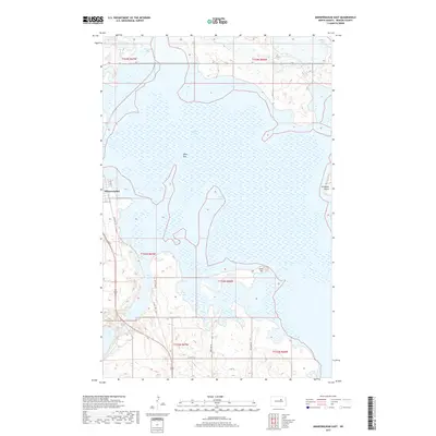 2017 Minnewaukan East2017 Print · USGSBenson County's lake-bound landscape is captured here in the late 2010s as the rising waters of West Bay shaped the region. Trace local landmarks like Minnewaukan, the high ground of Sams Hill, and the shoreline around Grahams Island.
 - 2017 Map of Minnewaukan West, 2017 Print
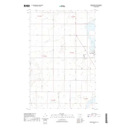 2017 Minnewaukan West2017 Print · USGSMinnewaukan and the western shore of Devils Lake are documented here in the late twenty-teens. Genealogists can locate several historic burial grounds including Saint Peter Cemetery, Free Church Cemetery, and Minnewaukan Cemetery.
 - 2017 Map of Grahams Island, 2017 Print
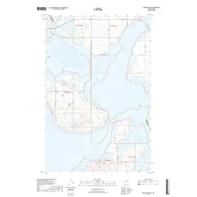 2017 Grahams Island2017 Print · USGSThe waters of Devils Lake surround the rising terrain of Grahams Island in this recent survey of the North Dakota interior. Researchers can trace the local road network and island access points via Park Ave and Bia Rd 25 across the Benson County line.
 - 2018 Map of Oberon, 2018 Print
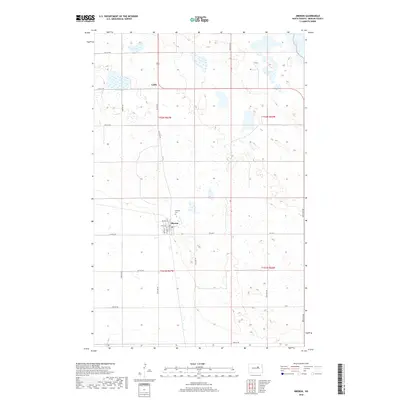 2018 Oberon2018 Print · USGSBenson County's agricultural heartland is documented here in the late 2010s, centered on the crossroads of the northern plains. Local historians can trace property boundaries and town sites including Oberon, the Hillside Cem, and the small settlement of Lallie.
 - 2018 Map of Sheyenne, 2018 Print
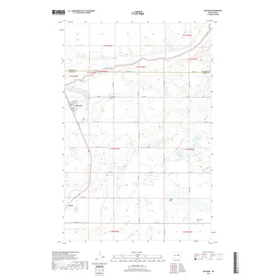 2018 Sheyenne2018 Print · USGSThe community of Sheyenne and the surrounding prairie are captured here in the late 2010s. Genealogists and local historians can locate family plots at Riverside Cem and Morningside Cem or trace the wetlands through Tiffany Flats.
 - 2018 Map of Oberon SW, 2018 Print
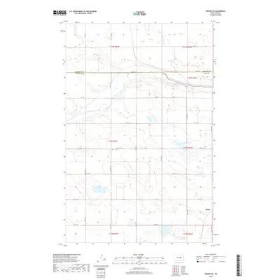 2018 Oberon SW2018 Print · USGSBenson and Eddy counties meet along the winding Sheyenne River in this 2018 survey of North Dakota's glacial prairie. Genealogists and local historians can locate the Grandfield Lutheran Cem or trace the small settlement of Divide.
 - 2018 Map of Crow Hill, 2018 Print
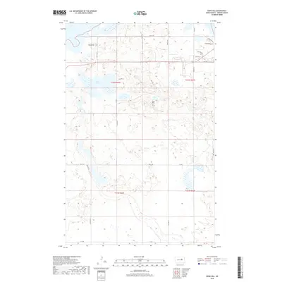 2018 Crow Hill2018 Print · USGSBenson County's glaciated landscape is documented here in the late 2010s, showing the intersection of rural transit and historic community sites. Researchers can trace local heritage at Saint Jeromes Catholic Cem, locate the landmark of Crow Hill, and follow the path of BIA RD 24 near the shoreline.
 - 2020 Map of Oberon SW, 2020 Print
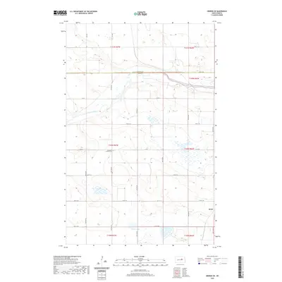 2020 Oberon SW2020 Print · USGSBenson and Eddy counties meet along the winding Sheyenne River in this recent survey of the North Dakota prairie. Researchers can locate the Grandfield Lutheran Cem and trace rural section lines near Shroyer Lake and Divide.
 - 2020 Map of Grahams Island, 2020 Print
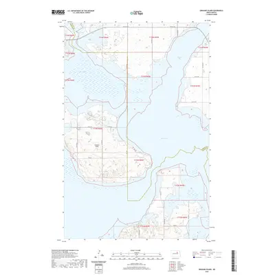 2020 Grahams Island2020 Print · USGSGrahams Island and the fluctuating shores of Devils Lake are documented here in the early twenty-first century. Researchers can trace the modern road network across the island and through the Crow Hill District via Park Ave, BIA Rd 25, and BIA Rd 27.
 - 2020 Map of Oberon, 2020 Print
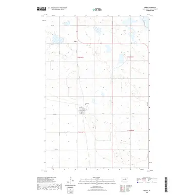 2020 Oberon2020 Print · USGSBenson County's prairie landscape and the outskirts of the great inland sea are documented here in the early twenty-first century. Genealogists and local historians can trace family locations near Oberon, the Hillside Cem, and the settlement of Lallie.
 - 2020 Map of Minnewaukan West, 2020 Print
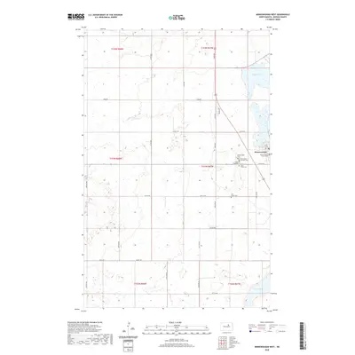 2020 Minnewaukan West2020 Print · USGSThe Benson County seat at Minnewaukan is shown here on the western shores of Devils Lake during the 2020s. Genealogists can trace family burial sites at Minnewaukan Cem, Saint Peter Cem, and the Benson County Court House.
Showing maps 1-25 of 35
Top cities near Crow Hill District
- Devils Lake historical maps
- Lallie historical maps
- Minnewaukan historical maps
- Sheyenne historical maps
- Grand Harbor historical maps
- Oberon historical maps
See more
Top neighborhoods of Crow Hill District
Frequently asked questions
- What are the different types of historical maps available for Crow Hill District?
- What is the oldest map of Crow Hill District?
- Where can I purchase historical maps of Crow Hill District for my home or office?
- Where can I download high-res historical maps of Crow Hill District?
- Are there historical topographic maps available for Crow Hill District?
- Is there historical aerial imagery available for Crow Hill District?
- Where are historical maps of Crow Hill District sourced from?