Old Maps of Grand Forks, North Dakota for Metal Detecting
Plan your next treasure hunt with 26 historic maps of Grand Forks. Find old homesites, ghost towns, trails, and gathering spots that may be lost to time — perfect for identifying promising metal detecting locations.
- Locate forgotten sites: Uncover places like long-lost settlements, abandoned rail lines, or gathering spots.
- Plan better hunts: Use map overlays combined with LiDAR or satellite views to narrow in on historically rich areas.
- Made for detectorists: Thousands of hobbyists use these maps to discover relics, coins, and hidden history.
Use these historic maps to boost your research and find new opportunities beneath the surface of Grand Forks.
Grand Forks, ND maps
(26)- 1934 Map of Grand Forks
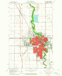
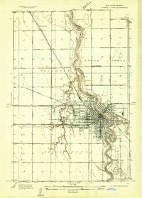 1934 Grand Forks1934 Print · USGSGrand Forks and East Grand Forks appear as a burgeoning rail and river hub in the mid-1930s. Researchers can trace the early footprint of the University of North Dakota or locate local landmarks like the State Elevator and Mill and Schumeier Switch.
 - 1934 Map of Grand Forks
 1934 Grand Forks1934 Print · USGSThe Red River Valley in the mid-1930s shows a landscape of growing river towns and a dense network of rural school districts. Genealogists can trace family connections to the UNIVERSITY OF NORTH DAKOTA, West Walle Ch, or early outposts like Merrifield and Schurmeier.2 unique versions available
 - 1938 Map of Grand Forks
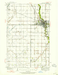
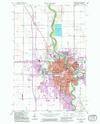
 1938 Grand Forks1938 Print · USGSGrand Forks and East Grand Forks appear as thriving rail hubs in the mid-1930s at the confluence of the Red and Red Lake Rivers. Researchers can trace rural school locations from School No 25 to School No 6 and identify landmarks like the Landing Field and Brenna Ch.3 unique versions available
 - 1952 Map of Grand Forks, 1967 Print
 1952 Grand Forks1967 Print · USGSThe Red River Valley in the early fifties is shown here at the height of its rail-and-river agricultural economy. Researchers can locate small-town landmarks like the Pleasant View School, the Immanuel Lutheran Church, and trace the path of the Soo Line Railroad.3 unique versions available
 - 1956 Map of Grand Forks
 1956 Grand Forks1956 Print · USGSThe Red River Valley in the mid-fifties is captured here as a thriving corridor of grain elevators and rail-linked towns along the North Dakota and Minnesota border. Researchers can trace historic church sites like Immanuel Lutheran Church, vanished rail stops at Tilde Junction, and the boundaries of the White Earth Indian Reservation.
 - 1963 Map of Kelly, 1964 Print
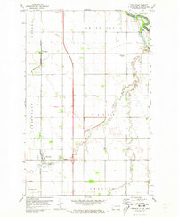
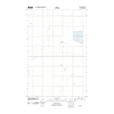
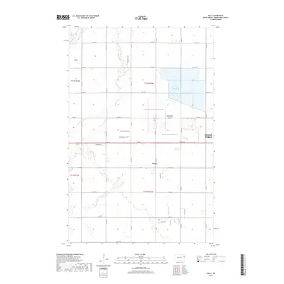
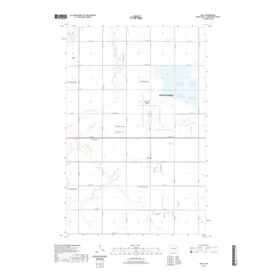
 1963 Kelly1964 Print · USGSGrand Forks was expanding westward during the early sixties as aviation and rail lines shaped the prairie. Genealogists can locate old rural schoolhouses like School No 30 and small rail-side stops including Kelly and Powell.
 - 1963 Map of Grand Forks, 1965 Print
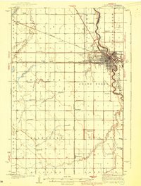
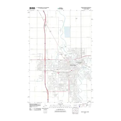
 1963 Grand Forks1965 Print · USGSGrand Forks and the Red River Valley are seen here in the early 1960s as the urban footprint expanded around the university. Trace the city's growth through sites like the University of North Dakota, Calspur, and parochial schools such as St Marys Sch.2 unique versions available
 - 1966 Map of Grand Forks
 1966 Grand Forks1966 Print · USGSThe Red River Valley in the mid-sixties shows a landscape shaped by rail-line commerce and complex water management. Genealogists and historians can trace rail-side towns like Emerado and Hunter or locate rural landmarks like the Pleasant View Church.
 - 1971 Map of Thompson, 1973 Print
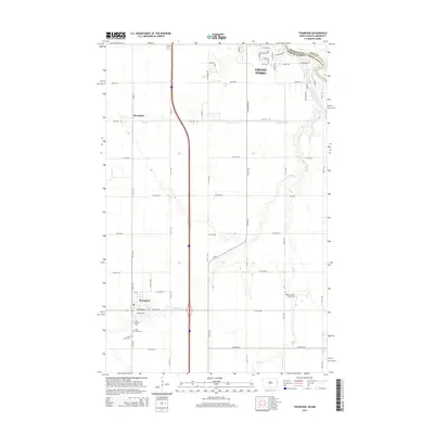
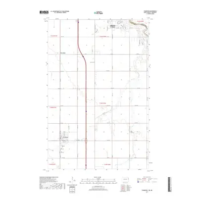
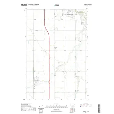
 1971 Thompson1973 Print · USGSThe Red River Valley south of Grand Forks is captured here in the early seventies as a productive landscape of railroads and prairie streams. Genealogists and historians can trace local family roots through Walle Ch, Thompson Cem, and the settlement at Merrifield.
 - 1985 Map of Grand Forks
 1985 Grand Forks1985 Print · USGSThe Red River Valley in the mid-1980s was a landscape of deep-rooted agriculture and rising military significance. Genealogists and researchers can trace the rail-tied development of towns like Larimore and Northwood alongside major landmarks like Grand Forks Air Force Base and Turtle River State Park.2 unique versions available
 - 1994 Map of Grand Forks, 1995 Print
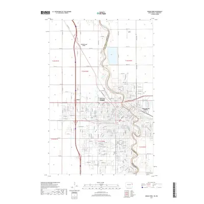
 1994 Grand Forks1995 Print · USGSGrand Forks and its sister city across the Red River appear here in the mid-1990s, just before major floods altered the urban landscape. Researchers can trace the sprawling campus of the University of North Dakota and locate historic sites like Calvary Cem and the Burlington Northern lines.
 - 2011 Map of Thompson, 2011 Print
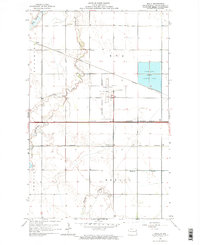
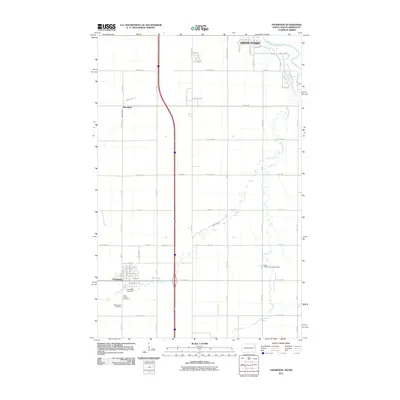 2011 Thompson2011 Print · USGSCovers Grand Forks, including Thompson, Merrifield, and other nearby areas
 - 2011 Map of Kelly, 2011 Print
 2011 Kelly2011 Print · USGSCovers Grand Forks, including Kelly, Powell, and other nearby areas
 - 2011 Map of Grand Forks, 2011 Print
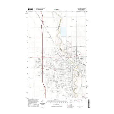
 2011 Grand Forks2011 Print · USGSCovers Grand Forks, including East Grand Forks, North Grand Forks, and other nearby areas
 - 2014 Map of Grand Forks, 2014 Print
 2014 Grand Forks2014 Print · USGSCovers Grand Forks, including East Grand Forks, North Grand Forks, and other nearby areas
 - 2014 Map of Kelly, 2014 Print
 2014 Kelly2014 Print · USGSCovers Grand Forks, including Kelly, Powell, and other nearby areas
 - 2014 Map of Thompson, 2014 Print
 2014 Thompson2014 Print · USGSCovers Grand Forks, including Thompson, Merrifield, and other nearby areas
 - 2017 Map of Kelly, 2017 Print
 2017 Kelly2017 Print · USGSCovers Grand Forks, including Kelly, Powell, and other nearby areas
 - 2017 Map of Thompson, 2017 Print
 2017 Thompson2017 Print · USGSCovers Grand Forks, including Thompson, Merrifield, and other nearby areas
 - 2017 Map of Grand Forks, 2017 Print
 2017 Grand Forks2017 Print · USGSCovers Grand Forks, including East Grand Forks, North Grand Forks, and other nearby areas
 - 2020 Map of Kelly, 2020 Print
 2020 Kelly2020 Print · USGSCovers Grand Forks, including Kelly, Powell, and other nearby areas
 - 2020 Map of Grand Forks, 2020 Print
 2020 Grand Forks2020 Print · USGSCovers Grand Forks, including East Grand Forks, North Grand Forks, and other nearby areas
 - 2020 Map of Thompson, 2020 Print
 2020 Thompson2020 Print · USGSCovers Grand Forks, including Thompson, Merrifield, and other nearby areas
 - 2024 Map of Kelly, 2024 Print
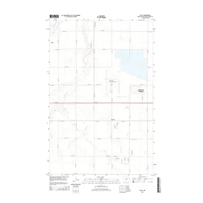
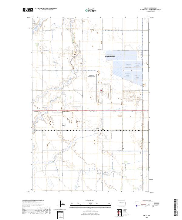 2024 Kelly2024 Print · USGSGrand Forks County in the 2020s is defined by its vital wildlife corridors and critical infrastructure. Trace the modern landscape near Kelly and Powell, including the extensive Kellys Slough National Wildlife Refuge and Grand Forks International Airport.
 - 2024 Map of Grand Forks, 2024 Print
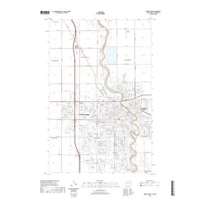
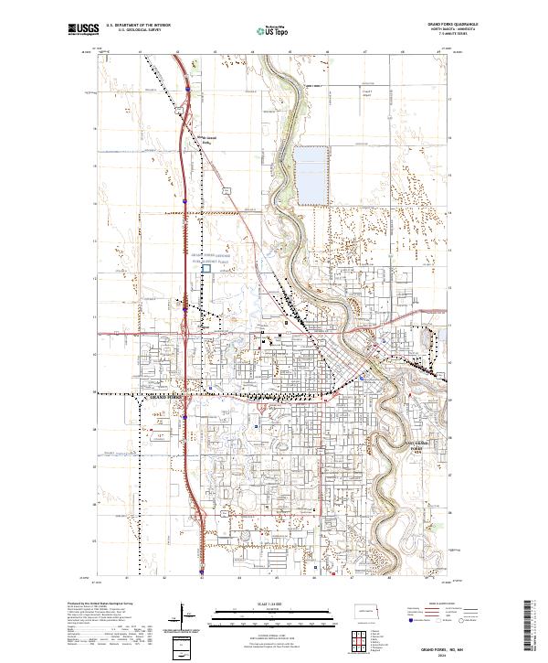 2024 Grand Forks2024 Print · USGSThe Red River Valley's urban heart is captured here in contemporary detail, showing the twin cities of the North Dakota-Minnesota border. Researchers can trace the layout of the University of North Dakota, several historic cemeteries like Calvary Cem, and the path of the BNSF Railway.
Showing maps 1-25 of 26
Top cities near Grand Forks
- East Grand Forks historical maps
- Thompson historical maps
- Manvel historical maps
- Bygland historical maps
Top neighborhoods of Grand Forks
Frequently asked questions
- What are the different types of historical maps available for Grand Forks?
- What is the oldest map of Grand Forks?
- Where can I purchase historical maps of Grand Forks for my home or office?
- Where can I download high-res historical maps of Grand Forks?
- Are there historical topographic maps available for Grand Forks?
- Is there historical aerial imagery available for Grand Forks?
- Where are historical maps of Grand Forks sourced from?