
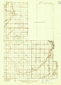
1934 Map of Grand Forks
USGS Topo · Published 1934About this map
Grand Forks and East Grand Forks anchor this 1934 survey, situated at the confluence of the Red River of the North and English Coulee. The map details the early footprint of the University of North Dakota and Wesley College alongside the bustling rail corridors of the Great Northern and Northern Pacific. Beyond the urban center, the landscape is defined by an intricate network of rural school districts, including School No. 25 and Falconer Sch, which served the surrounding townships of Blooming, Falconer, and Allendale.
Find a feature on this map
52 named features on this map. Tap any name to fly to it.
Don’t see what you’re looking for? This feature index may not catch every label — zoom into the map to look around manually.
Map Details
Editions of this 1934 Grand Forks Map
2 editions found
Other maps of this area

1918 · Warren
USGS Topo · 1:62,500

1919 · Eldred
USGS Topo · 1:62,500

1926 · Ardoch
USGS Topo · 1:62,500

1934 · Emerado
USGS Topo · 1:48,000

1934 · Grand Forks
USGS Topo · 1:24,000

1936 · Emerado
USGS Topo · 1:62,500

1938 · Grand Forks
USGS Topo · 1:62,500

1952 · Grand Forks
USGS Topo · 1:250,000

1952 · Thief River Falls
USGS Topo · 1:250,000

1955 · Warren
USGS Topo · 1:62,500