Old Maps of New Leipzig, North Dakota for Genealogy
Trace your family roots with 15 historic maps of New Leipzig. These high-res maps reveal old neighborhoods, homesites, landmarks, and streets — helping you uncover where your ancestors lived and how the area evolved over time.
- Explore historic neighborhoods: Identify where your relatives may have lived in the 1800s or 1900s.
- Compare maps over time: Trace the changes in streets, buildings, and landmarks for multi-generational research.
- Perfect for genealogy & ancestry research: Used by family historians and researchers to map out lineage and migration.
These maps are an incredible resource for exploring your personal connection to New Leipzig's past.
New Leipzig, ND maps
(15)- 1954 Map of Bismarck, 1967 Print
 1954 Bismarck1967 Print · USGSBismarck and the Missouri River basin are shown in the mid-1960s as the Oahe Reservoir reshaped the valley. Genealogists can trace family-named landmarks like Dog Tooth Buttes and small prairie settlements such as Fort Yates, Selfridge, and Brisbane.2 unique versions available
 - 1958 Map of Bismarck
 1958 Bismarck1958 Print · USGSCentral North Dakota in the late fifties is defined by the Missouri River and the sprawling Standing Rock Indian Reservation. Genealogists and historians can trace rail-line outposts like Sedalia Siding or explore local landmarks like Saint Anthony and Fort Lincoln State Park/Museum.
 - 1972 Map of New Leipzig South, 1974 Print
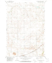
 1972 New Leipzig South1974 Print · USGSThe rural landscape south of New Leipzig in the 1970s shows a transition between traditional agriculture and early industrial mining activity. Genealogists can locate several distinct burial sites including Congregation Cem, Finnish Cem, and Fleak Cem near the Cannonball River.
 - 1980 Map of New Leipzig North
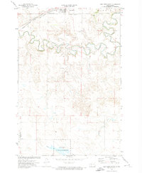
 1980 New Leipzig North1980 Print · USGSGrant County’s rolling prairie and coal-rich hills are shown here during the late twentieth century as the region balanced farming with industrial extraction. Genealogists and researchers can locate Ebenezer Ch, the Davenport Strip Mine, and the rail corridor at New Leipzig.
 - 1980 Map of Elgin
 1980 Elgin1980 Print · USGSNorth Dakota's southern plains come alive in the early eighties as the Standing Rock Indian Reservation meets the Cannonball River. Trace the rail lines serving Elgin and Carson, or locate family-named landmarks like Thompson Butte and Heil.
 - 2011 Map of New Leipzig North, 2011 Print
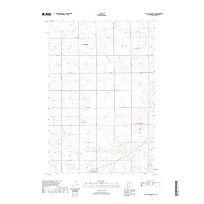
 2011 New Leipzig North2011 Print · USGSCovers New Leipzig, including Grant County, United States, and other nearby areas
 - 2011 Map of New Leipzig South, 2011 Print
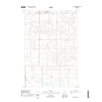
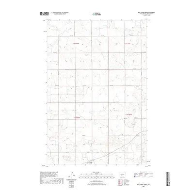
 2011 New Leipzig South2011 Print · USGSCovers New Leipzig, including Grant County, Hettinger County, and other nearby areas
 - 2014 Map of New Leipzig South, 2014 Print
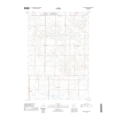
 2014 New Leipzig South2014 Print · USGSCovers New Leipzig, including Grant County, Hettinger County, and other nearby areas
 - 2014 Map of New Leipzig North, 2014 Print
 2014 New Leipzig North2014 Print · USGSCovers New Leipzig, including Grant County, United States, and other nearby areas
 - 2017 Map of New Leipzig North, 2017 Print
 2017 New Leipzig North2017 Print · USGSCovers New Leipzig, including Grant County, United States, and other nearby areas
 - 2018 Map of New Leipzig South, 2018 Print
 2018 New Leipzig South2018 Print · USGSCovers New Leipzig, including Grant County, Hettinger County, and other nearby areas
 - 2020 Map of New Leipzig North, 2020 Print
 2020 New Leipzig North2020 Print · USGSCovers New Leipzig, including Grant County, United States, and other nearby areas
 - 2020 Map of New Leipzig South, 2020 Print
 2020 New Leipzig South2020 Print · USGSCovers New Leipzig, including Grant County, Hettinger County, and other nearby areas
 - 2024 Map of New Leipzig North, 2024 Print
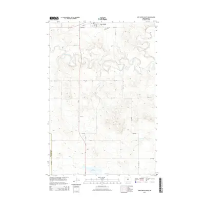
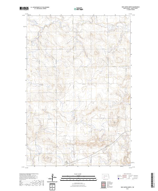 2024 New Leipzig North2024 Print · USGSNorth Dakota's rural heartland comes into focus in this recent survey of the prairie surrounding New Leipzig. Researchers can trace the section-line roads and natural landmarks that define the region, including the Frey Hills and the winding course of Antelope Creek.
 - 2024 Map of New Leipzig South, 2024 Print
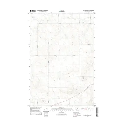
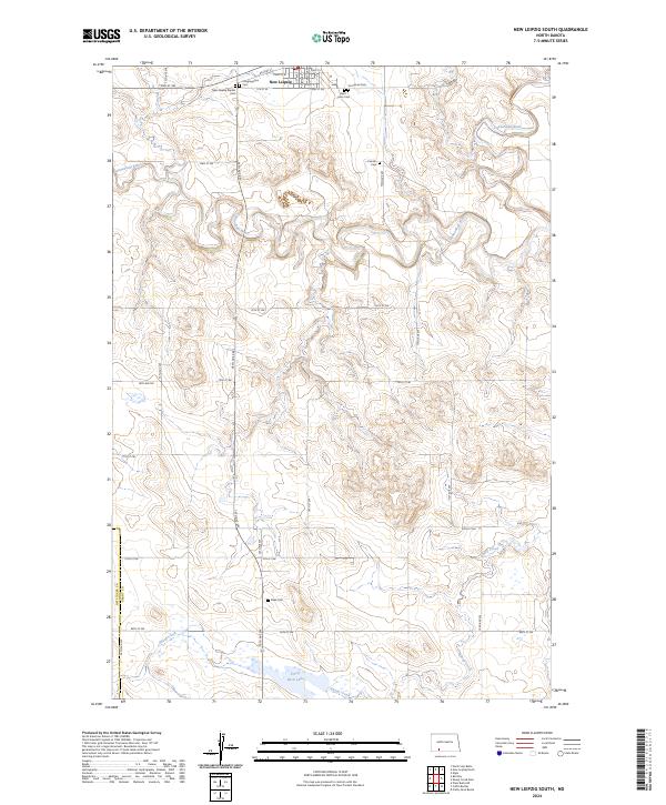 2024 New Leipzig South2024 Print · USGSGrant and Hettinger counties in the twenty-first century remain defined by the water and rail lines that first drew settlers here. Genealogists can trace family heritage through isolated sites like the Finnish Cem, Fleak Cem, and Saint Johns Cem.
End of results
Showing maps 1-15 of 15
Top cities near New Leipzig
Frequently asked questions
- What are the different types of historical maps available for New Leipzig?
- What is the oldest map of New Leipzig?
- Where can I purchase historical maps of New Leipzig for my home or office?
- Where can I download high-res historical maps of New Leipzig?
- Are there historical topographic maps available for New Leipzig?
- Is there historical aerial imagery available for New Leipzig?
- Where are historical maps of New Leipzig sourced from?