2010s Maps of Mandaree, North Dakota
Explore 48 historic maps of Mandaree from the 2010s. These maps offer a rare glimpse into what life looked like during the 2010s — showing old roads, neighborhoods, homes, and landmarks that have changed or disappeared over time.
Whether you're researching your family's past, planning a metal detecting trip, or studying how Mandaree's landscape evolved across the 2010s, these high-resolution maps are a powerful tool for exploring the history of this region.
- Focus on a specific era: All maps on this page are from the 2010s, giving you a focused view of this time period.
- See what’s changed: Compare century-old streets, trails, and buildings to today's modern landscape using overlays and satellite layers.
- Research with precision: Use these maps for genealogy, historical research, land use analysis, or educational projects.
- View, download, or print: Maps are fully viewable online in high resolution, and can be downloaded or printed for your own records.
Start exploring Mandaree's history through authentic maps from the 2010s. This is your window into the past.
Mandaree, ND maps
(48)- 2011 Map of Saddle Butte SW, 2011 Print
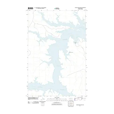 2011 Saddle Butte SW2011 Print · USGSThe Missouri River breaks of western North Dakota are shown here in the early twenty-first century as the reservoir waters have reshaped the valley. Trace the rugged shoreline of Lake Sakakawea and find local landmarks like Ash Coulee and Mossett Rd.
 - 2011 Map of Mandaree NE, 2011 Print
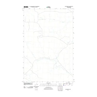 2011 Mandaree NE2011 Print · USGSThe high plains northeast of Mandaree come into focus in the early 21st century, showing a landscape shaped by rural infrastructure and natural drainage. Researchers can trace the path of Skunk Creek or follow the network of BIA 12 and BIA 14.
 - 2011 Map of Sanish SW, 2011 Print
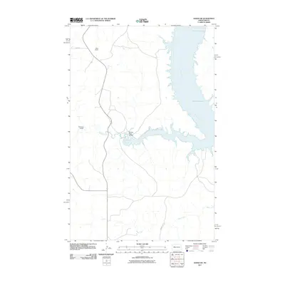 2011 Sanish SW2011 Print · USGSThe Missouri River breaks into the vast reservoir of Lake Sakakawea in the early 21st century, illustrating a landscape defined by water engineering and native lands. Researchers can trace the winding paths of Writing Rock Coulee, Bear Den Creek, and the heights of Blue Butte.
 - 2011 Map of Hay Flat, 2011 Print
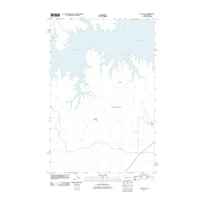 2011 Hay Flat2011 Print · USGSThe Missouri River breaks and the Missouri plateau meet in 2011 as Lake Sakakawea fills the northern coulees. Genealogists and local historians can locate Lincoln Memorial Cemetery and trace the paths of Mossett Rd and BIA Route 22.
 - 2011 Map of New Town SE, 2011 Print
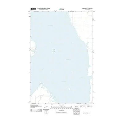 2011 New Town SE2011 Print · USGSThe Missouri River valley in central North Dakota appears here after its transformation into the massive Lake Sakakawea reservoir. Local historians and researchers can trace the shoreline around Independence Point and follow the route of BIA 13 along the southern banks.
 - 2011 Map of Twin Buttes, 2011 Print
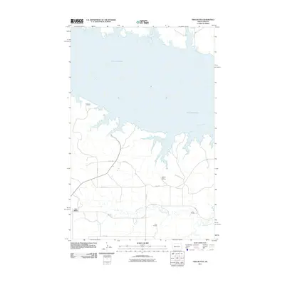 2011 Twin Buttes2011 Print · USGSTwin Buttes and the southern shores of Lake Sakakawea are captured here as they appeared in the early 2000s. Genealogists can locate several remote burial sites including Medicine Stone Cemetery, Chase Cemetery, and Crowsheart Cemetery.
 - 2011 Map of Sanish SE, 2011 Print
 2011 Sanish SE2011 Print · USGSThe Missouri River breaks into the sprawling reaches of Lake Sakakawea in this early twenty-first-century survey of Mountrail County. Trace the rugged shoreline around Horse Camp Coulee and the rural road networks like BIA 801 and 31st St NW.
 - 2011 Map of Figure 4 Ranch, 2011 Print
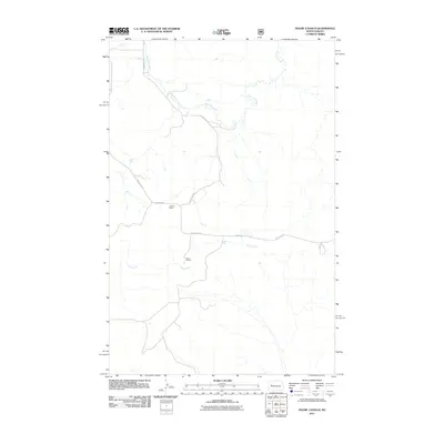 2011 Figure 4 Ranch2011 Print · USGSCattle ranching legacies define this part of North Dakota in the early twenty-first century. Genealogists and historians can trace the footprints of established operations like Figure 4 Ranch and L Hanna Ranch alongside the winding course of Bear Den Creek.
 - 2011 Map of Mandaree, 2011 Print
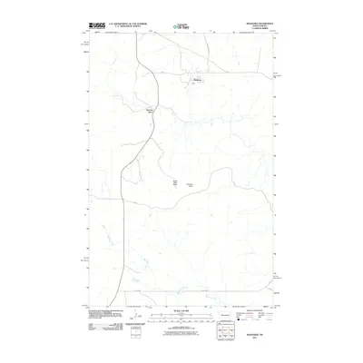 2011 Mandaree2011 Print · USGSWestern North Dakota's high-plains landscape is documented here in the early twenty-first century, centered on the community of Mandaree. Map collectors and researchers can trace the roads and landmarks of the area, from Spotted Horn to the heights of Eagle Nest Butte.
 - 2011 Map of Lost Bridge, 2011 Print
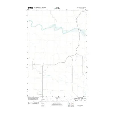 2011 Lost Bridge2011 Print · USGSThe northern plains near Mandaree are defined by the meandering Little Missouri River during this early twenty-first-century survey. Trace the crossing at Lost Bridge and the drainages of Corral Creek and Frank Creek across the section grid.
 - 2011 Map of Mandaree SW, 2011 Print
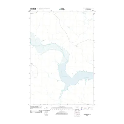 2011 Mandaree SW2011 Print · USGSThe confluence of the Little Missouri River and Lake Sakakawea is captured here in the early twenty-first century. Researchers can trace the winding paths of Dry Creek and Jim Creek as they meet the reservoir's rugged northern shoreline.
 - 2011 Map of String Buttes, 2011 Print
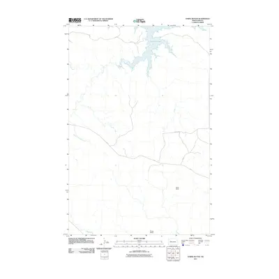 2011 String Buttes2011 Print · USGSThe Missouri River breaks and high prairie of North Dakota appear here during the early twenty-first century. Researchers can trace the drainage of Skunk Creek and identify landmarks like Heart Butte and the namesake String Buttes.
 - 2011 Map of New Town SW, 2011 Print
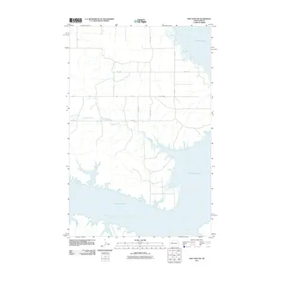 2011 New Town SW2011 Print · USGSMountrail County, North Dakota, is defined by the high water levels of the Missouri River reservoir in the early twenty-first century. Researchers can trace the complex shoreline of Lake Sakakawea and follow rural paths like 89th Ave NW and Little Shell Creek.
 - 2011 Map of Blue Buttes SE, 2011 Print
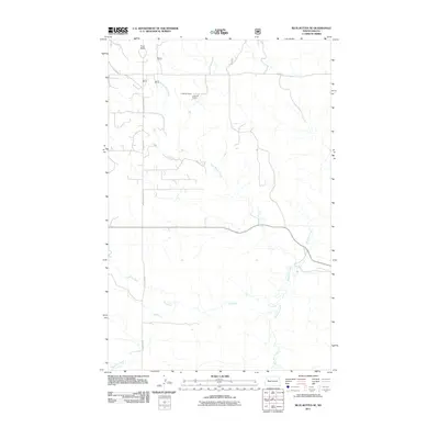 2011 Blue Buttes SE2011 Print · USGSMcKenzie County's Four Bears Segment is shown here in the early twenty-first century, highlighting the rural ranching landscape. Genealogists and researchers can trace family-named landmarks like C Mercer Ranch and the winding course of Handy Water Creek.
 - 2011 Map of Mandaree SE, 2011 Print
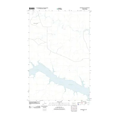 2011 Mandaree SE2011 Print · USGSThe Missouri River breaks of western North Dakota are captured here in the early twenty-first century, showcasing the dramatic intersection of land and water. Researchers can trace the sprawling reaches of Lake Sakakawea and the Little Missouri River or locate the distinctive McGregory Buttes.
 - 2011 Map of Saddle Butte, 2011 Print
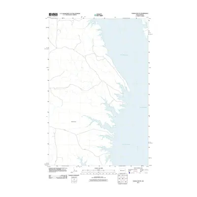 2011 Saddle Butte2011 Print · USGSThe upper Missouri River valley comes into focus in this early twenty-first century study of the North Dakota plains. Researchers can trace the complex shoreline of Lake Sakakawea and the landmark Saddle Butte as accessed by BIA 80.
 - 2014 Map of Lost Bridge, 2014 Print
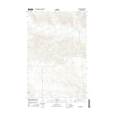 2014 Lost Bridge2014 Print · USGSDunn County at the beginning of the twenty-first century showcases the intersection of the Little Missouri River and high prairie landmarks. Researchers can trace the path of ND-22 across the Lost Bridge and locate the prominent heights of North Killdeer Mtn.
 - 2014 Map of Blue Buttes SE, 2014 Print
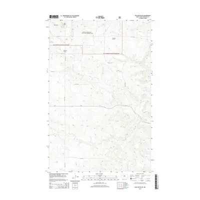 2014 Blue Buttes SE2014 Print · USGSMcKenzie County's badlands terrain is captured here in the early twenty-first century, showing a landscape shaped by both nature and industry. Researchers can trace the development of the Blue Buttes Oil and Gas Field and landmarks like Aura Butte or Foreman Coulee.
 - 2014 Map of Sanish SW, 2014 Print
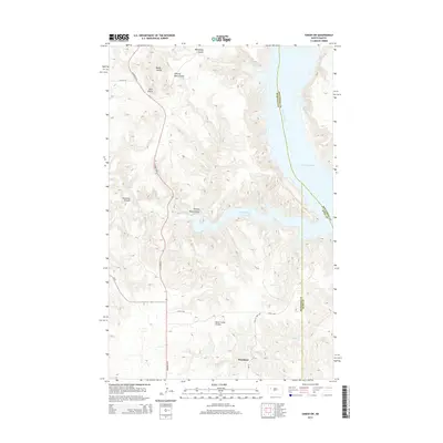 2014 Sanish SW2014 Print · USGSThe Missouri River breaks of Western North Dakota are captured here in the early twenty-first century as they meet the waters of Lake Sakakawea. Researchers can trace the layout of Mandaree and explore the complex drainage networks of Bear Den Bay and Horse Camp Coulee.
 - 2014 Map of Mandaree, 2014 Print
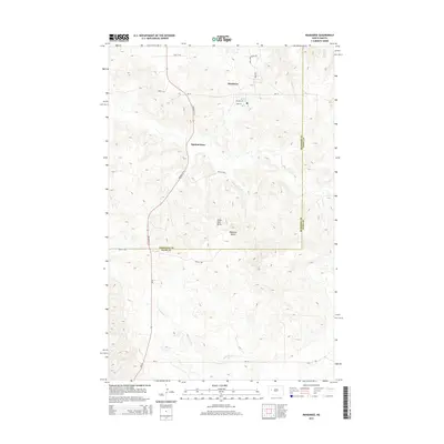 2014 Mandaree2014 Print · USGSThe community of Mandaree and the locality of Spotted Horn are captured in this 2014 survey of the western North Dakota plains. Researchers can trace the local road network through the McKenzie-Dunn county line and locate landmarks like Eagle Nest Butte.
 - 2014 Map of Mandaree SW, 2014 Print
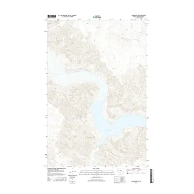 2014 Mandaree SW2014 Print · USGSWestern North Dakota's high-plains landscape meets the rising waters of the Missouri River system in this 2014 survey. Geologists and locals can trace the winding shoreline of Lake Sakakawea where it meets the Little Missouri River and Jim Creek.
 - 2014 Map of Saddle Butte, 2014 Print
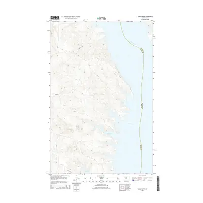 2014 Saddle Butte2014 Print · USGSThe rugged shoreline of the Missouri River reservoir in the early twenty-first century is captured here in fine detail. Researchers can trace land access via Charging Family Rd or explore the inlets of Saddle Butte Bay and McKenzie Bay.
 - 2014 Map of Mandaree NE, 2014 Print
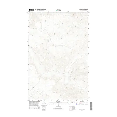 2014 Mandaree NE2014 Print · USGSDunn County at the start of the 2010s reveals a landscape shaped by drainage systems and essential transport routes. Genealogists and historians can trace the paths of Skunk Cr and the development of local corridors like BIA-10 and BIA-14.
 - 2014 Map of Sanish SE, 2014 Print
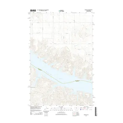 2014 Sanish SE2014 Print · USGSMountrail County and the Missouri River breaks appear here in the early twenty-first century as the landscape centers on the vast waters of Lake Sakakawea. Researchers can trace the complex shoreline around Drags Wolf Bay and the drainage of Horse Camp Coulee.
 - 2014 Map of New Town SE, 2014 Print
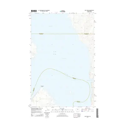 2014 New Town SE2014 Print · USGSLake Sakakawea and the Missouri River basin are shown here in the early twenty-first century, highlighting a landscape shaped by massive water projects. Trace the rugged shoreline of Lucky Mound Creek Bay, identify the landmark at Independence Point, and follow the road at BIA-13.
Showing maps 1-25 of 48
Top cities near Mandaree
Top neighborhoods of Mandaree
Frequently asked questions
- What are the different types of historical maps available for Mandaree?
- What is the oldest map of Mandaree?
- Where can I purchase historical maps of Mandaree for my home or office?
- Where can I download high-res historical maps of Mandaree?
- Are there historical topographic maps available for Mandaree?
- Is there historical aerial imagery available for Mandaree?
- Where are historical maps of Mandaree sourced from?